Viewpoints on the Kamenické trail


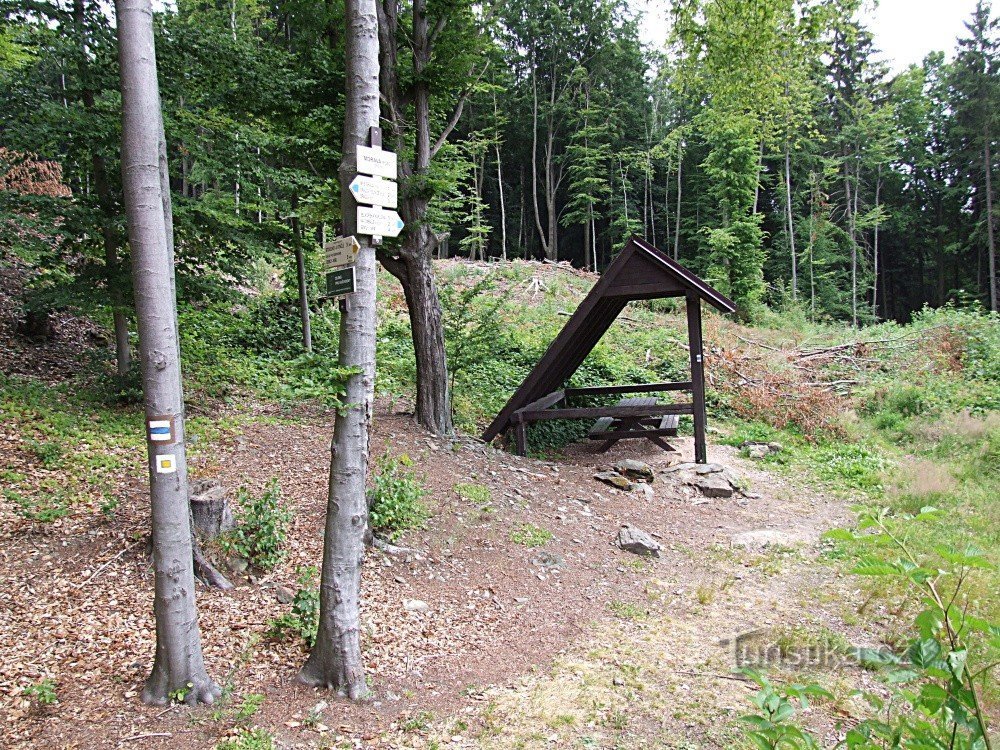
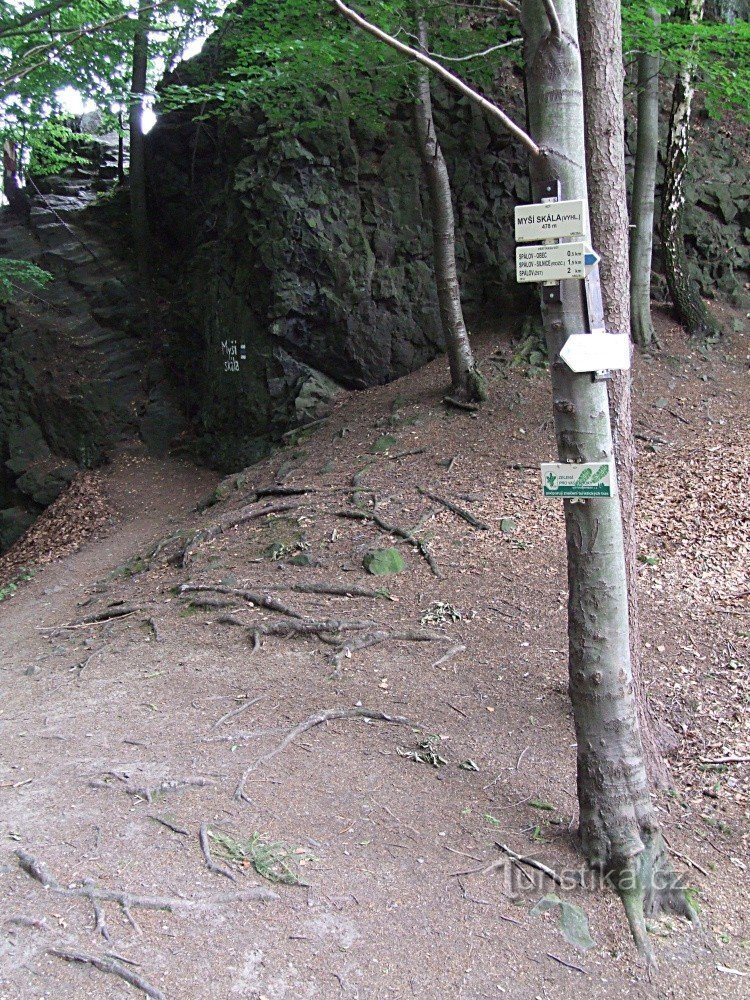
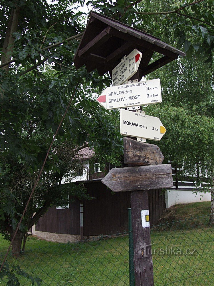
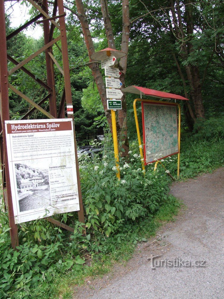
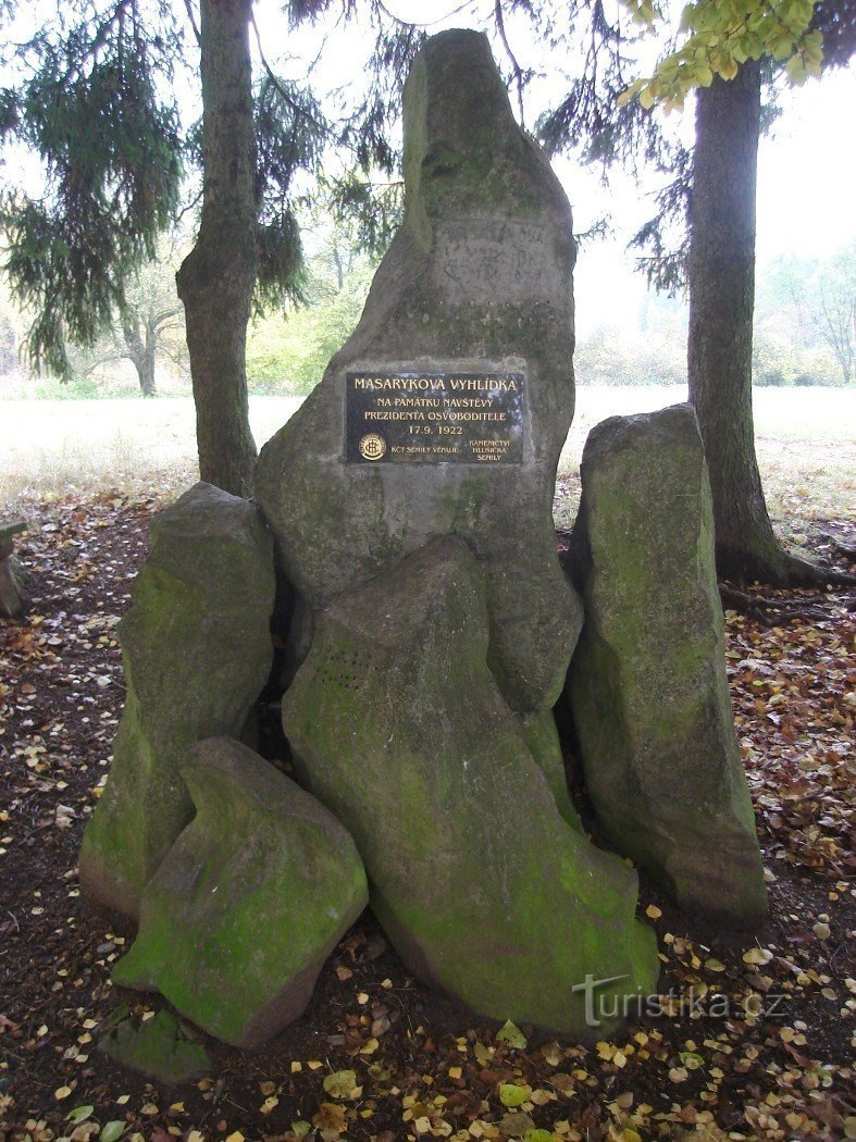
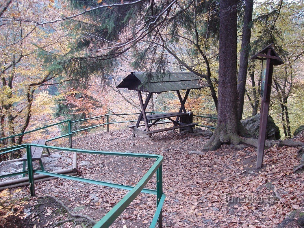
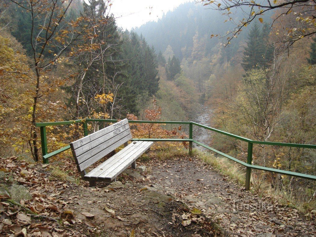
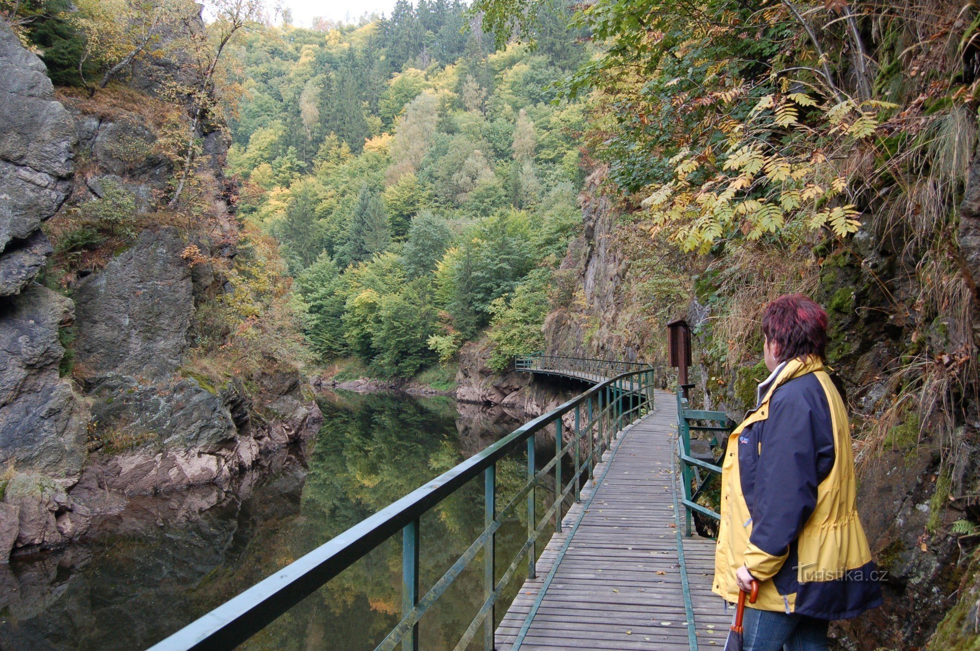
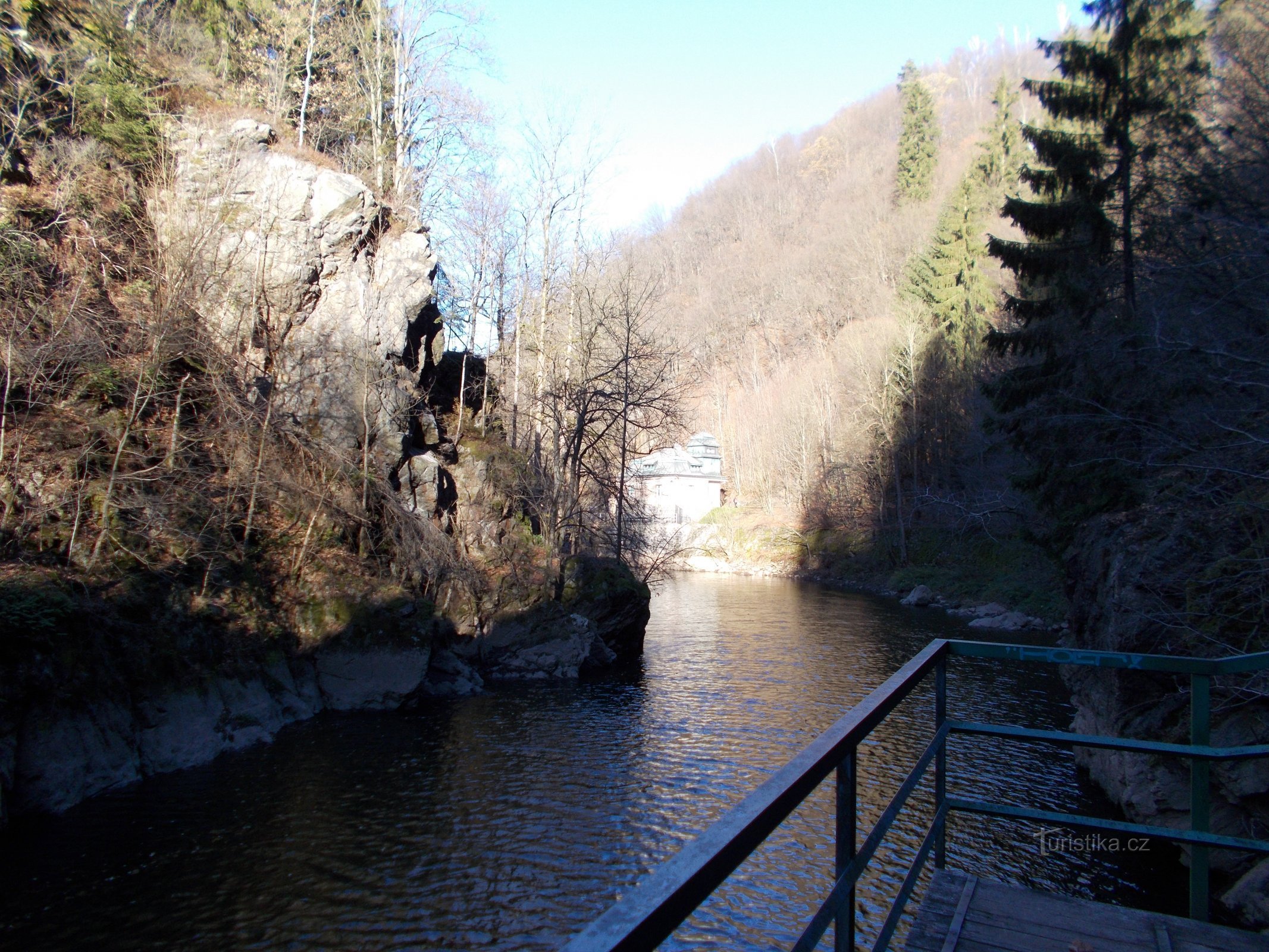
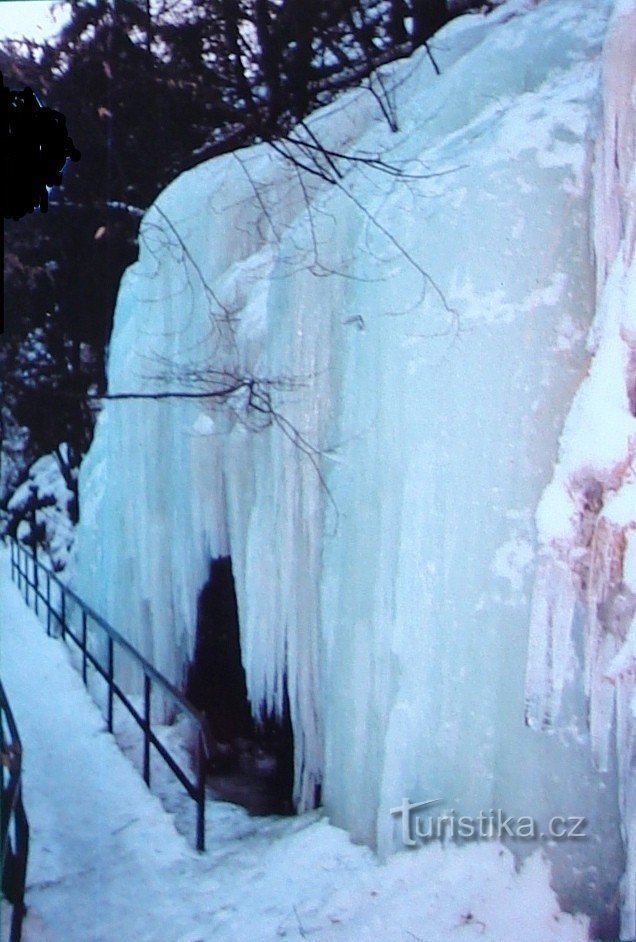
The Kamenické trail is about 5,5 km long and consists of a yellow tourist route from Bítouchov to the Morava crossroads and then blue markings to Spálov. The trail was made available on May 15.5.1941, XNUMX and named after the promoter of tourism and the author of a number of tourist publications JUDr. Jan Kamenické. On the Kamenické trail, we can admire the surrounding landscape from several secure and free vantage points, from which, however...
Share this place with friends
Viewpoints on the Kamenické trail
Other places in the vicinity - Viewpoints on the Kamenické trail
- Alšovice
- Benešov near Semil
- Sessions
- Bezděčín
- Bítouchov
- Bohuňovskogo
- Borkov
- Bozkov
- Bratříkov
- Bystra nad Jizera
- It's fine
- Chikvasky
- Long
- Drzkov
- Dubecka
- Haje nad Jizera
- Hamstein
- Helkovice
- Horská Kamenice
- Horensko
- Peas
- Rough Heat
- Chlistov
- Chloudov
- Chuchelna
- Appetizer
- Autumn
- Jílové near Držkov
- Jirkov
- Klokočí
- Kober's
- Mosquitoes
- Kotelsko
- Kozákov
- Kozákov
- Křečovice 1.díl
- Flowers
- Lestkov
- Lhota
- Lhotka
- Libentines
- Lichen
- Loctush
- Meadows
- Loukov
- A bed
- Bathroom
- Little Horka
- Little Rock
- Michovka
- Navarov
- They don't drive
- Emergency
- Pelekhov
- Pipes
- Undertaker
- Mountains
- Pratkov
- Average
- Average
- Beggar
- Steep
- Counselor
- Joyful under Kozákov
- Rohiny
- Rudny
- Roztoky u Semil
- Rybnice
- Sekerkovy Loučky
- Semily
- Salt
- He snorts
- He snorts
- Burning
- Slide
- Stará Ves
- Fierce
- Sutice
- Lights
- Skoda
- Tatobits
- Right now
- Stew
- Wenceslas
- Valdice
- Village
- Happy at Semil's
- Festivity
- Vlastiboř
- Warbler
- Vranové 1.díl
- Vranové 2.díl
- Vranovsk Region
- Return
- Zahorie
- Zbirohs
- Gel
- Zelezny Brod
- Žernov
- Groove