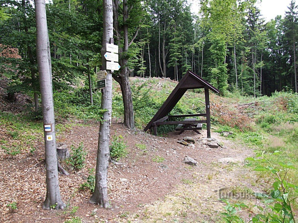
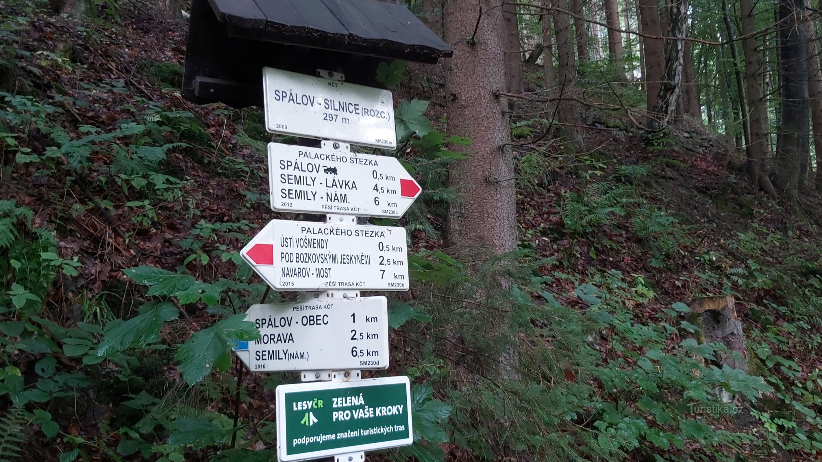
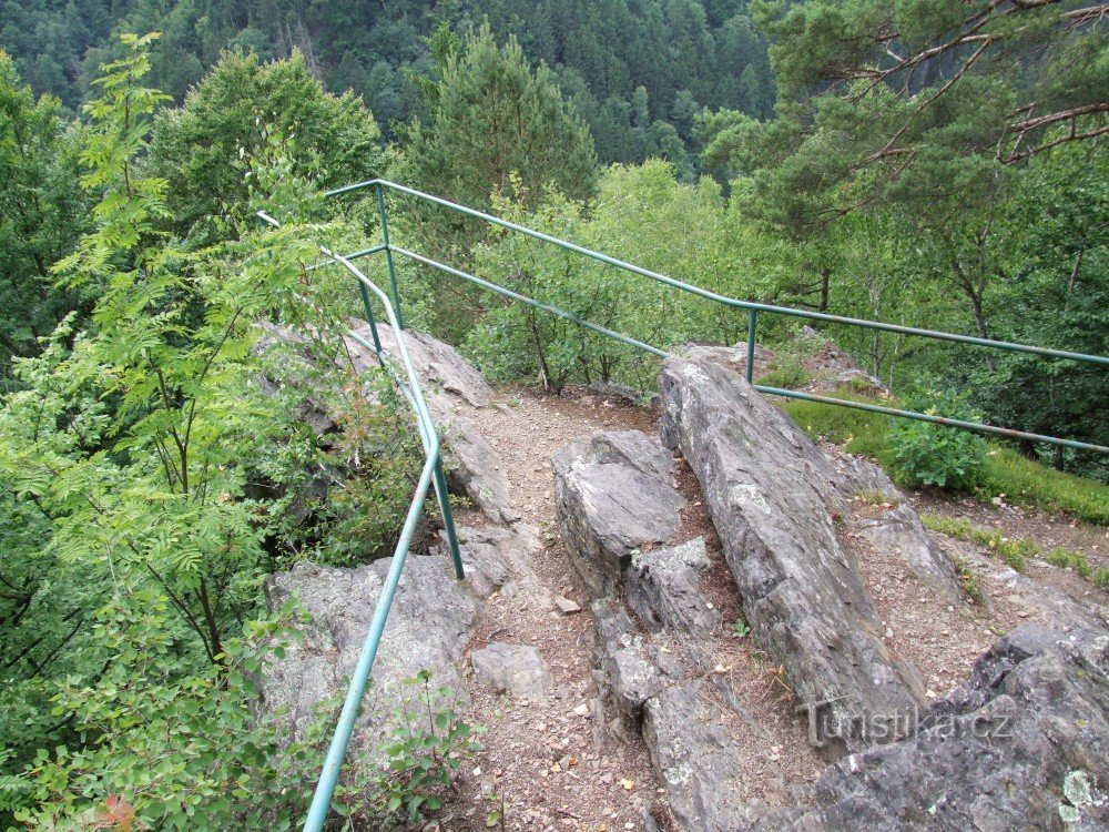
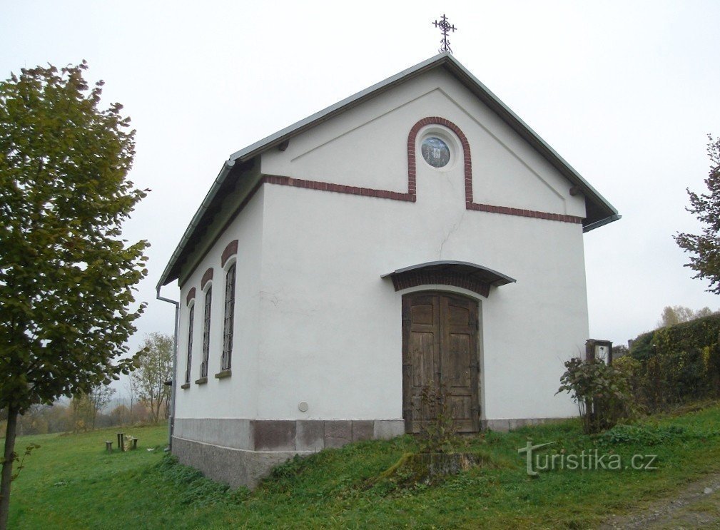
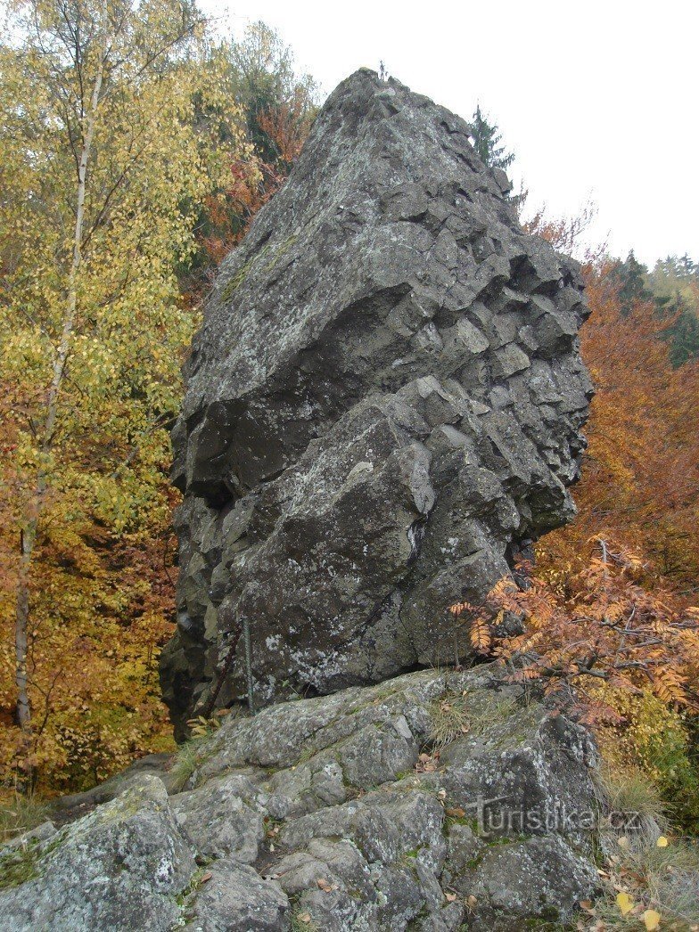
Myší skála crossroads - lookout point


The signpost indicates the place of the turn and the ascent to the viewpoint from Myší skály. It stands on the blue-marked tourist route, which starts in the valley at the confluence of the Jizera and Kamenice rivers at the Spálov railway station and goes through the village of Spálov, around Medence hill and Sejkorská chapel to the center of Semil. The total length of this blue-marked route is 7,5 km.
Share this place with friends
Myší skála crossroads - lookout point
Other places in the vicinity - Rozcestí Myší skála - viewpoint
- Alšovice
- Benešov near Semil
- Sessions
- Bezděčín
- Bítouchov
- Bohuňovskogo
- Borkov
- Bozkov
- Bratříkov
- Bystra nad Jizera
- It's fine
- Chikvasky
- Long
- Drzkov
- Dubecka
- Haje nad Jizera
- Hamstein
- Fines
- Helkovice
- Horská Kamenice
- Horensko
- Rough Heat
- Huntírov
- Chlistov
- Chloudov
- Chuchelna
- Appetizer
- Autumn
- Jílové near Držkov
- Jirkov
- Klokočí
- Kober's
- Mosquitoes
- Kozákov
- Kozákov
- Křečovice 1.díl
- Flowers
- Elbe
- Lestkov
- Lhota
- Lhotka
- Libentines
- Lichen
- Loctush
- Meadows
- Loukov
- A bed
- Bathroom
- Little Horka
- Little Rock
- Michovka
- Navarov
- They don't drive
- Emergency
- Pelekhov
- Penchin
- Pipes
- Fawn
- Undertaker
- Mountains
- Pratkov
- Average
- Average
- Beggar
- Steep
- Counselor
- Joyful under Kozákov
- Rohiny
- The roach
- Roztoky u Semil
- Rybnice
- Semily
- Salt
- He snorts
- He snorts
- Burning
- Slide
- Tentative
- Stará Ves
- Fierce
- Sutice
- Lights
- Skoda
- Tatobits
- Right now
- Stew
- Wenceslas
- Village
- Festivity
- Vlastiboř
- Warbler
- Vranové 1.díl
- Vranové 2.díl
- Return
- Zahorie
- Principle
- Gel
- Zelezny Brod
- Žernov
- Groove