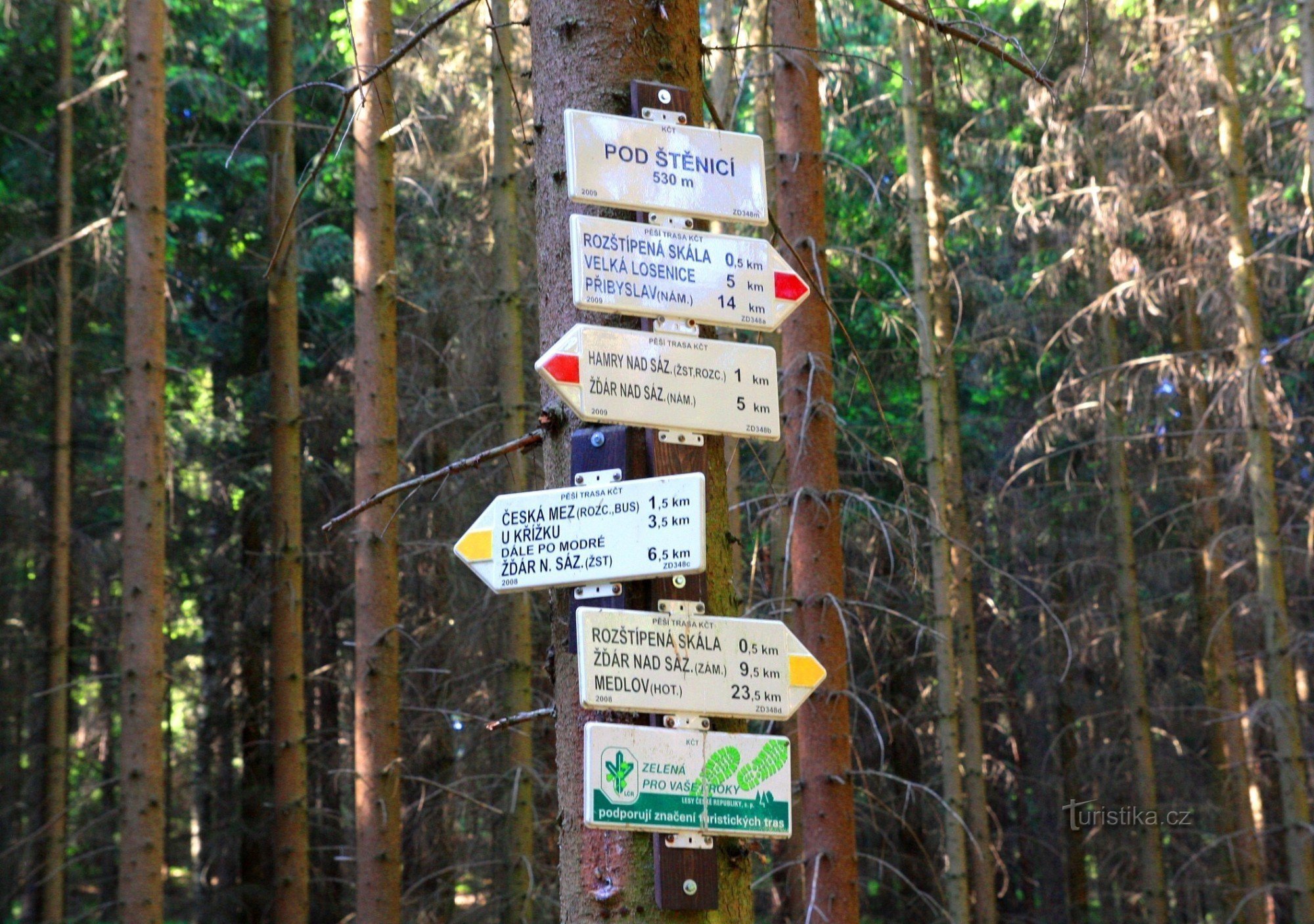
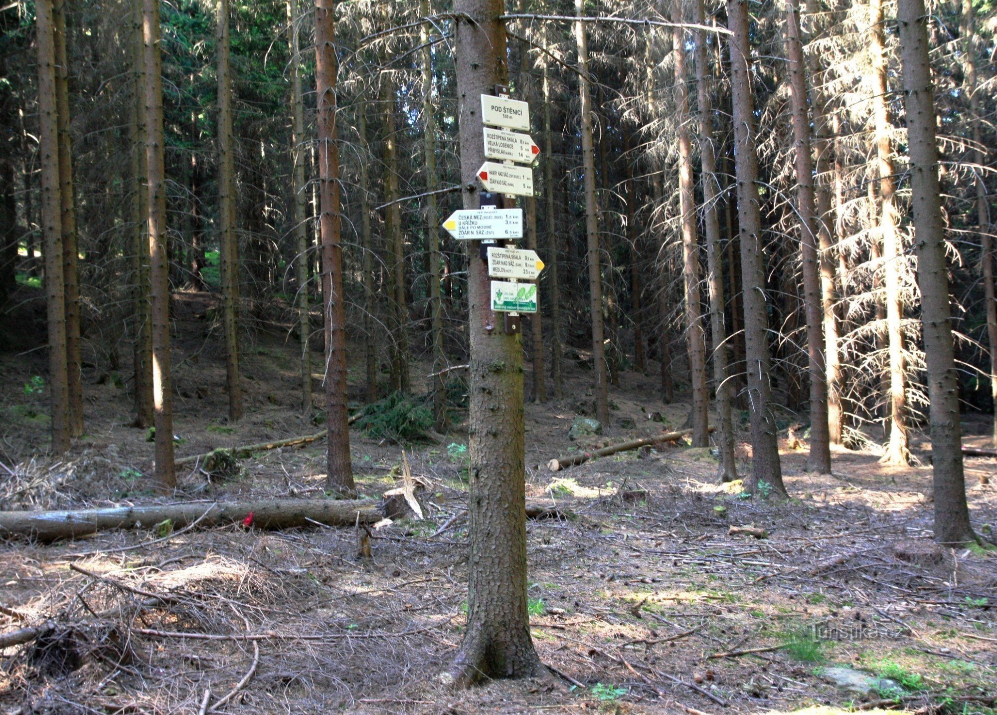
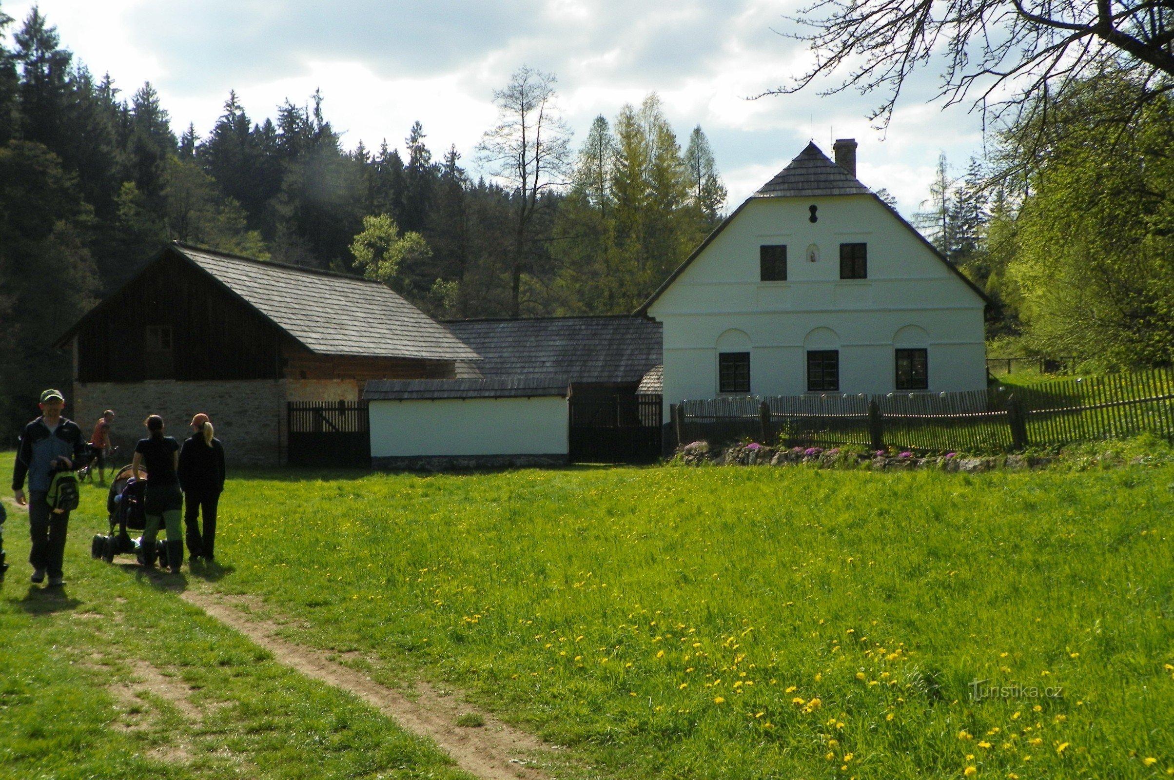
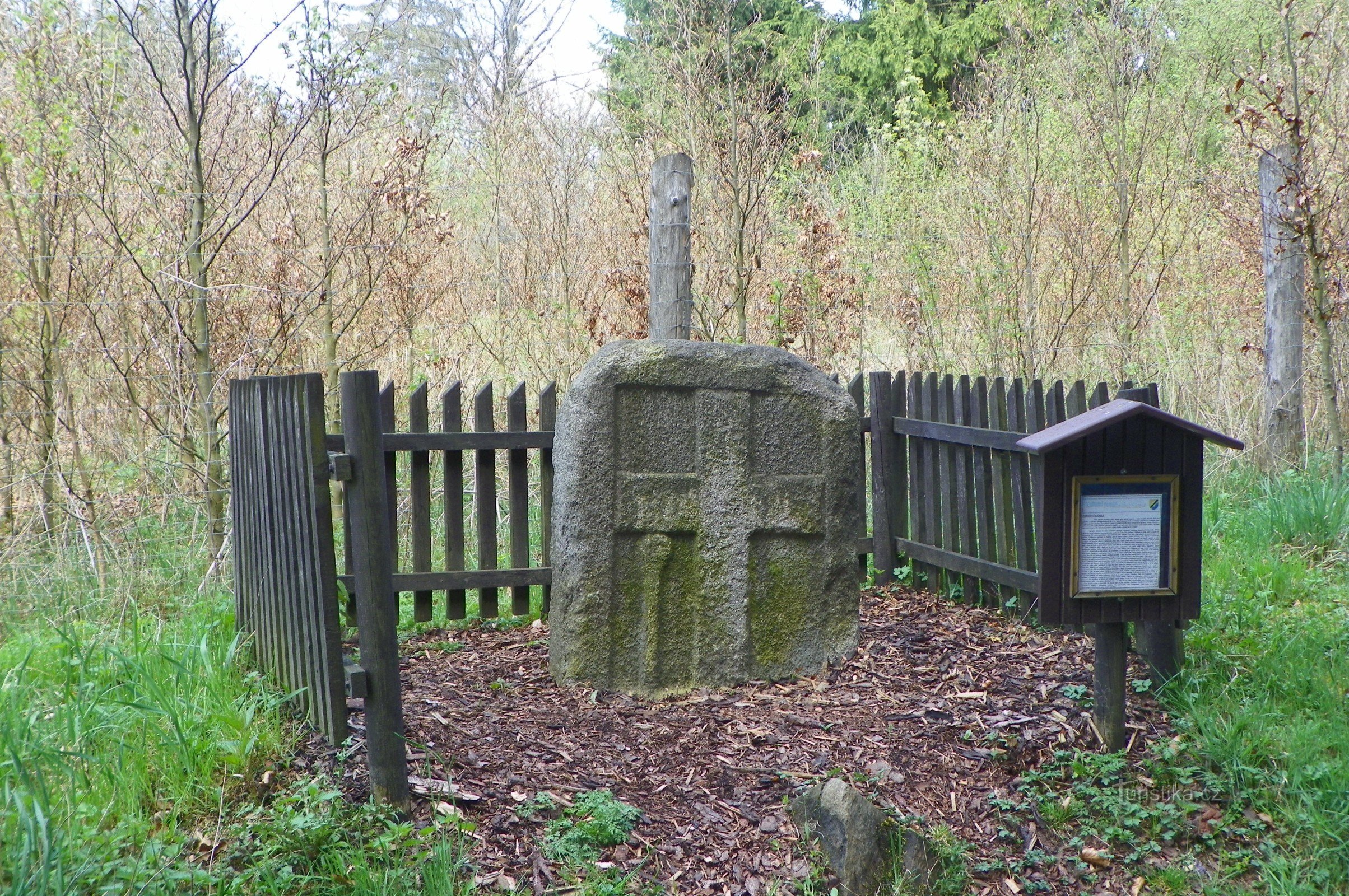
Tourist crossroads Pod Štěnicí
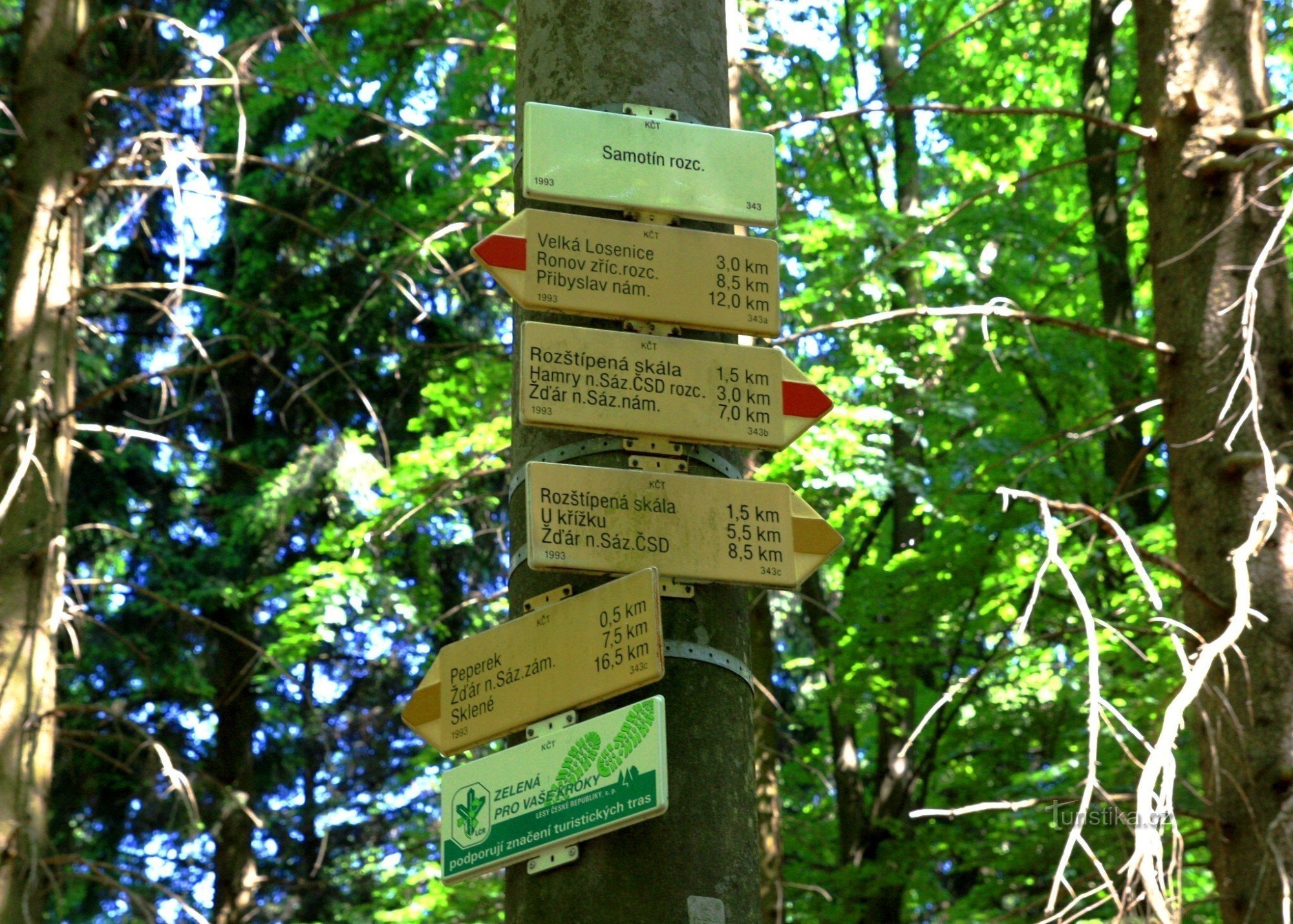
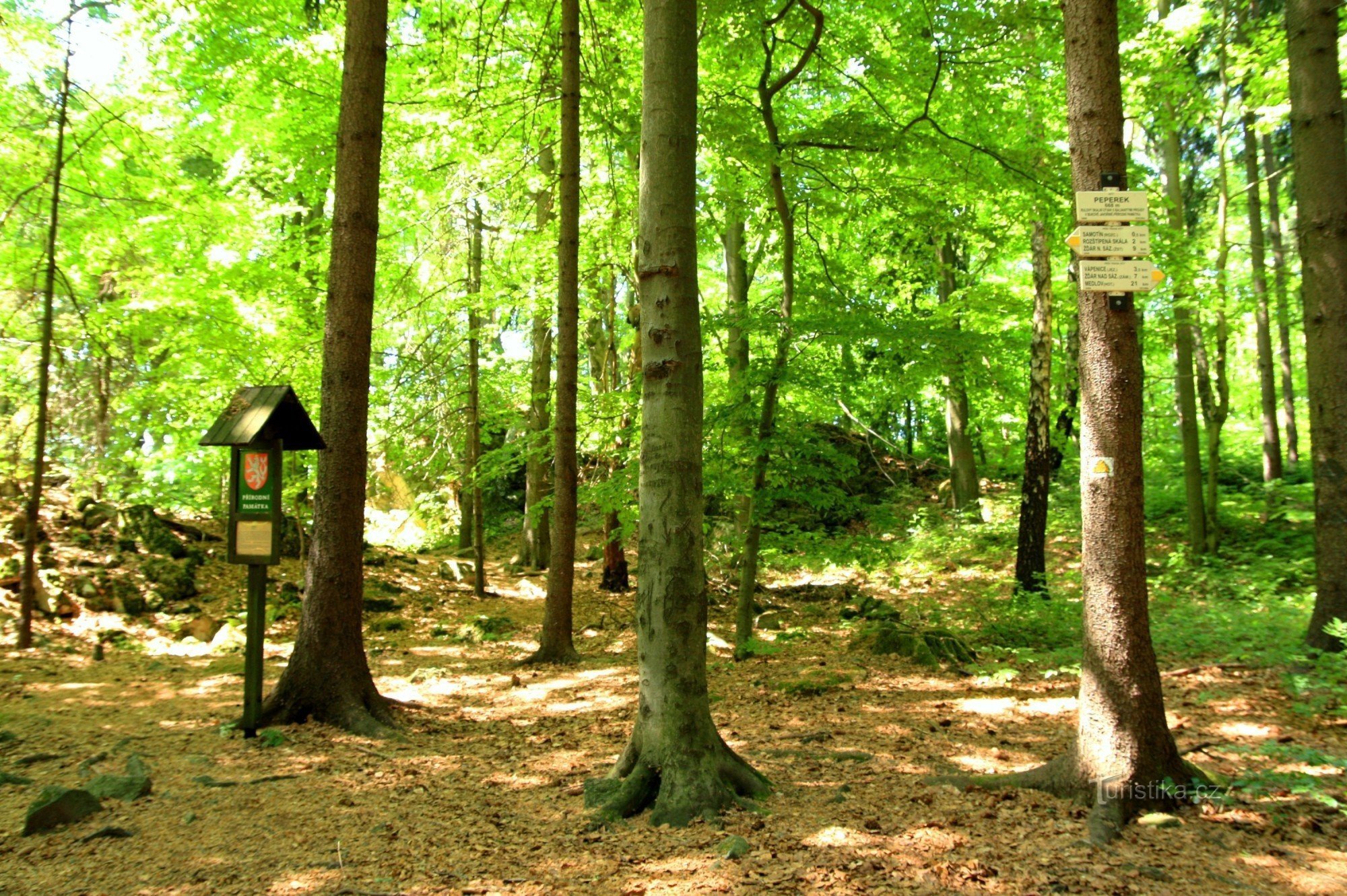
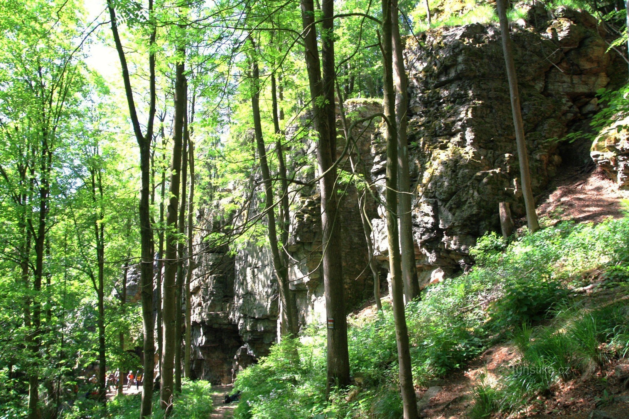
It is located in the Sázava valley west of the village of Najdek. A red and yellow marked hiking trail passes through here. The red sign leads in one direction to Hamrů nad Sázavou and to Žďár nad Sázavou, in the other direction around Rozštípené skály to Velká Losenice. The yellow sign goes to Hamerský kopec and the other way to Peperek, the Vápenice lake and the castle to Žďár.
Tourist map KČT 1:50 no. 000 Žďárské vrchy/C48
Tourist map KČT 1:50 no. 000 Žďárské vrchy/C48
Share this place with friends
Tourist crossroads Pod Štěnicí
Other places in the vicinity - Tourist crossroads Pod Štěnicí
- Bohdalov
- Brezi nad Oslava
- Will be
- Beech
- Czech Mez
- Hamry nad Sázavou
- Field
- Pits
- Karlov
- Boilers
- Lhotka
- Little Losenice
- Matejov
- Melkovice
- Praying man
- A find
- Nizhkov
- New Dvory
- New Joy
- Olešenka
- Calculations
- Poděšín
- Pokoiv
- Polnička
- Butchered
- They will tell
- Račín
- Radonin
- Radostín
- Ronov nad Sázavou
- Rosicka
- Sázava
- Sazomin
- Orphans
- Glass
- Stržanov
- Svetnov
- Skrdlovice
- Pipe hammers
- Dirty
- The trip
- Batting
- Great Losenice
- Pork
- Cheers
- High
- Zdar nad Sazavou

