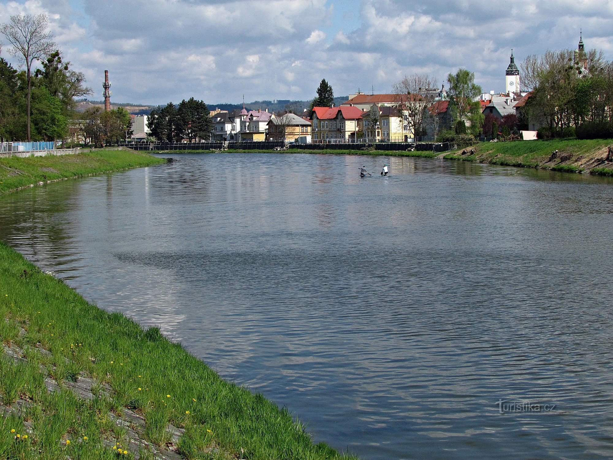
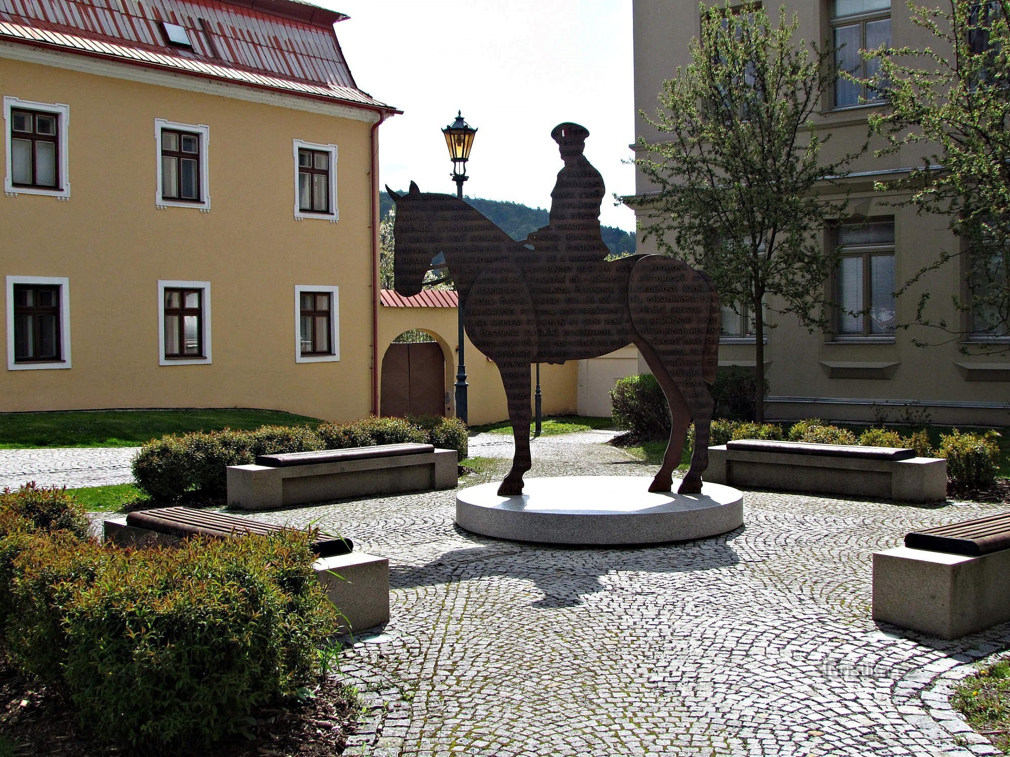
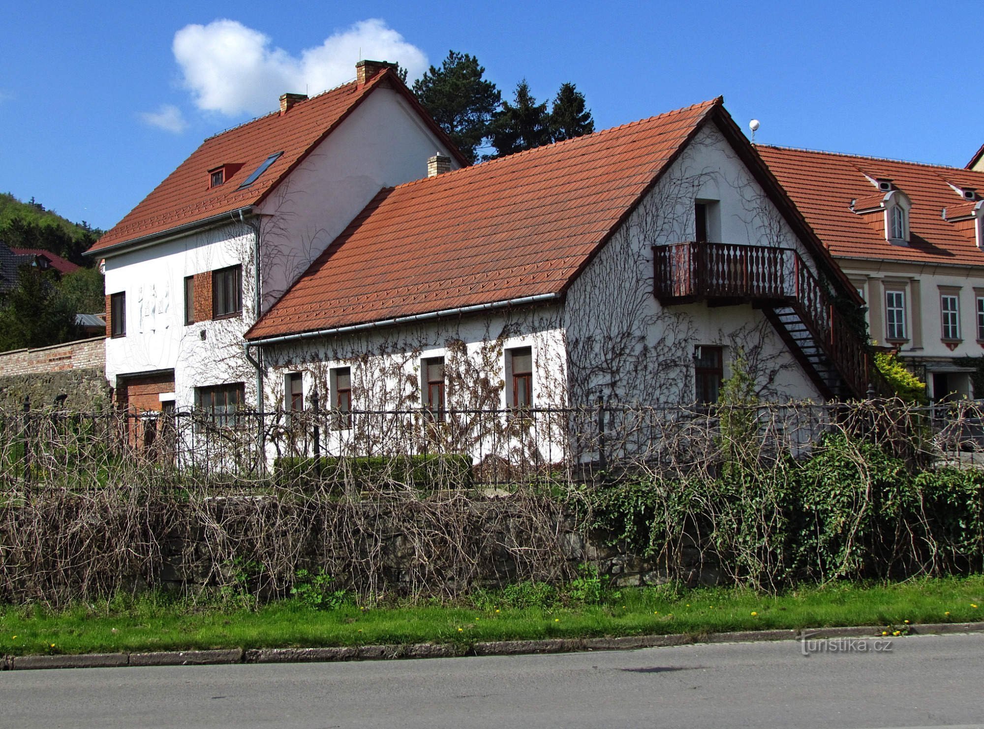
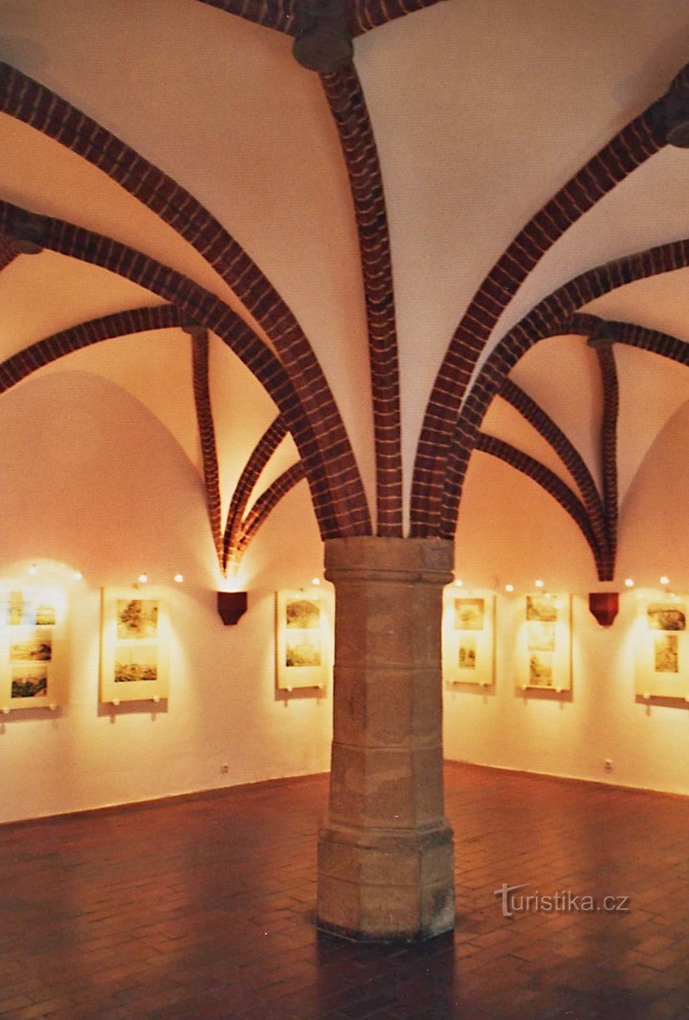
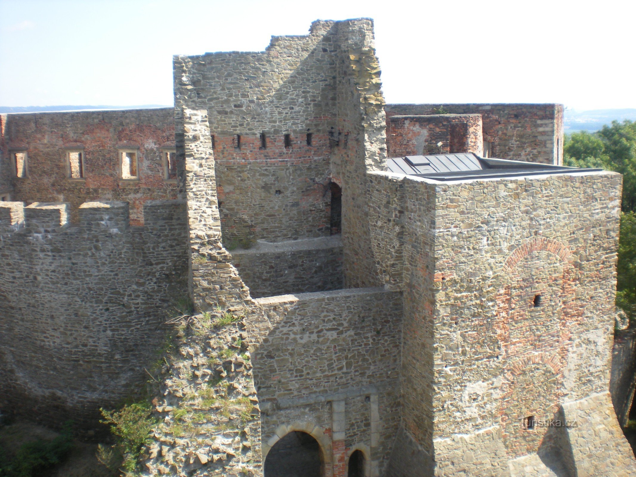
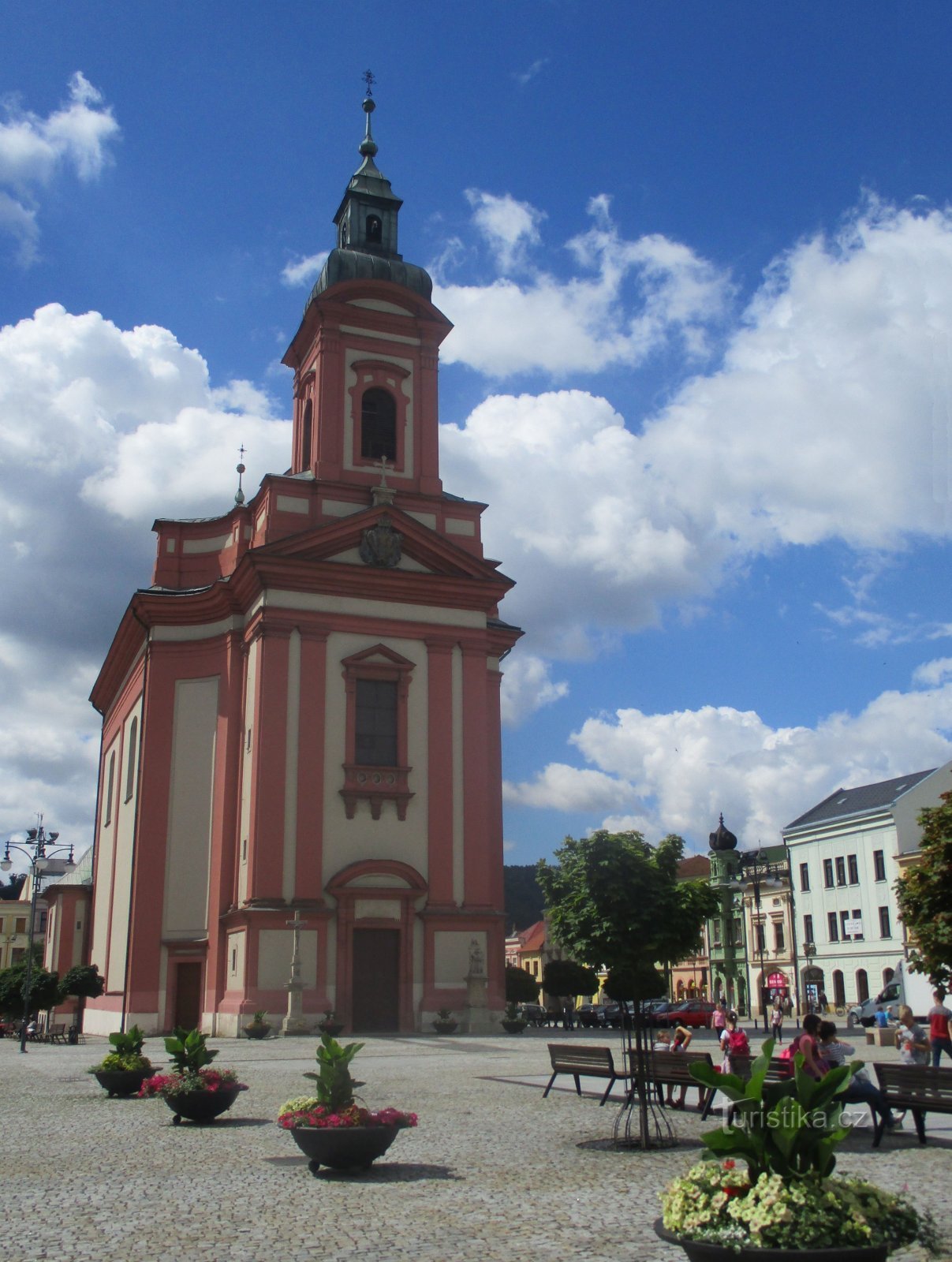
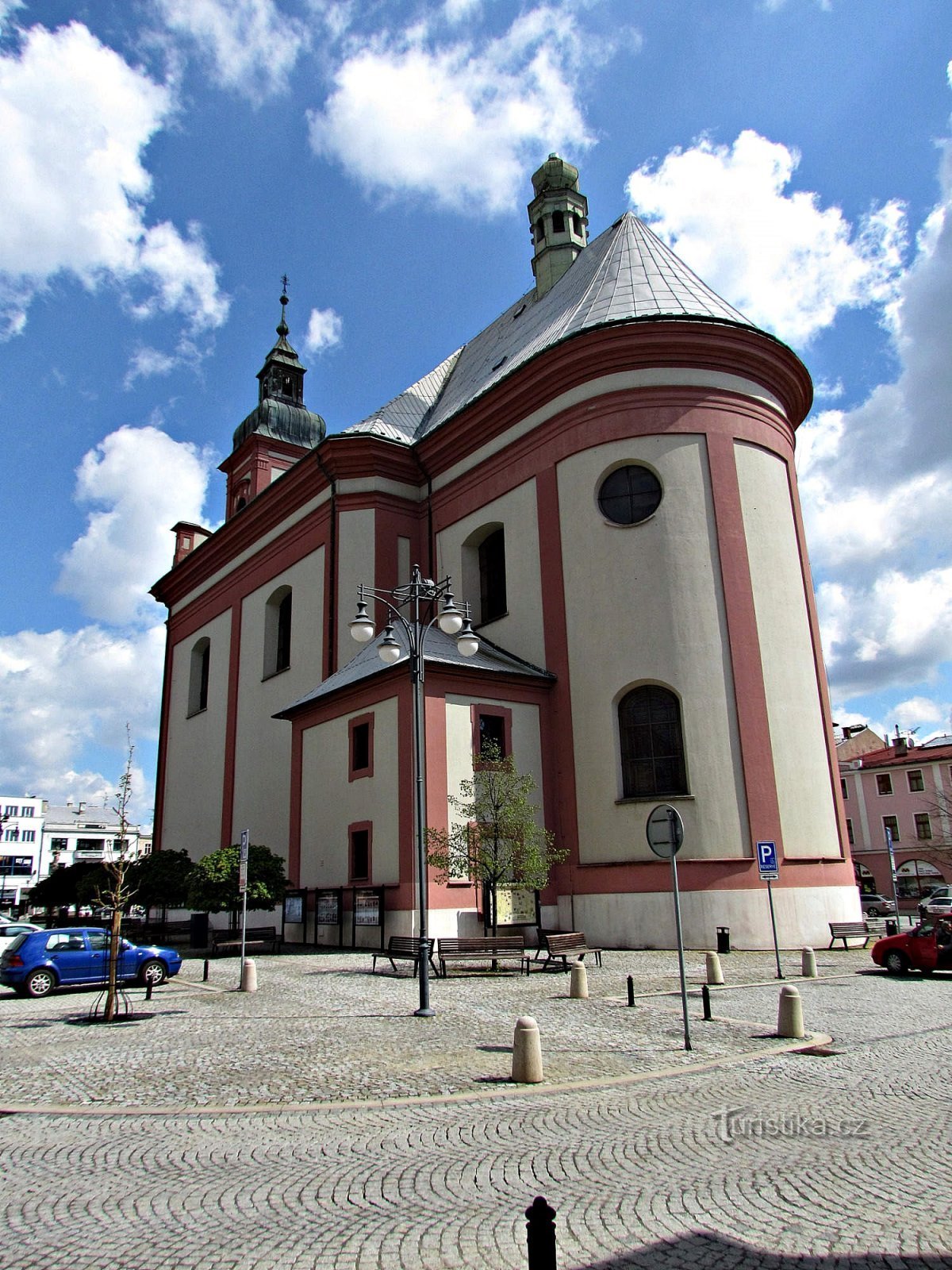
Hranické Sady of the Czechoslovak Legions


Originally, until the XNUMXth century, communal pastures spread out in the places of today's park on the left flooded bank of the river. The first "swallow" was the planting of the so-called Imperial tree row (it was a walnut and acacia avenue) and the southern part of the territory was used for dressage of military horses. The city park was created according to the plans of the prominent landscape architect František Thomayer (creating his projects in…
Share this place with friends
Hranické Sady of the Czechoslovak Legions
Other places in the vicinity - Hranické Sady of the Czechoslovak Legions
- Protein
- Bonkov
- Byškovice
- Black man
- Lower Nětčice
- Dolní Tešice
- Chamomile
- Hluzov
- Upper Nětčice
- Upper Tešice
- Countess
- Boundary
- Border II-Lhotka
- Border III-Great
- Border IV-Drahotuš
- Border IX-Uhřínov
- V-Fishermen's Boundary
- Border VI-Valšovice
- Border VII-Nightingale
- Hranické Loučky
- Hustopeče nad Bečvou
- Lakes
- Kelch
- Klokočí
- Bunnies
- Lhota
- Lucice
- Malhotice
- Milenov
- Milotice nad Bečvou
- Nejdek
- German woman
- Olšovec
- Opatovice
- Scabies
- Partutovice
- In half
- Radikov
- Crayfish
- Russian
- Little rock
- Homemade bread
- Central Forest
- Watch over Ludina
- Spikes
- Teplice is
- Týn nad Bečvou
- Mouth
- Everything
- Out of sight