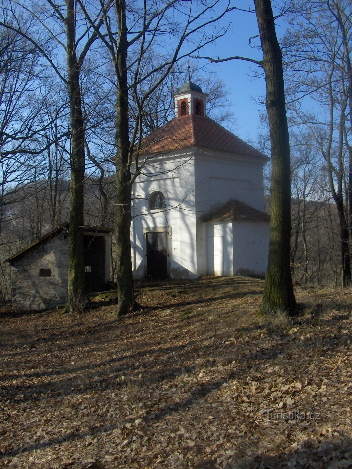
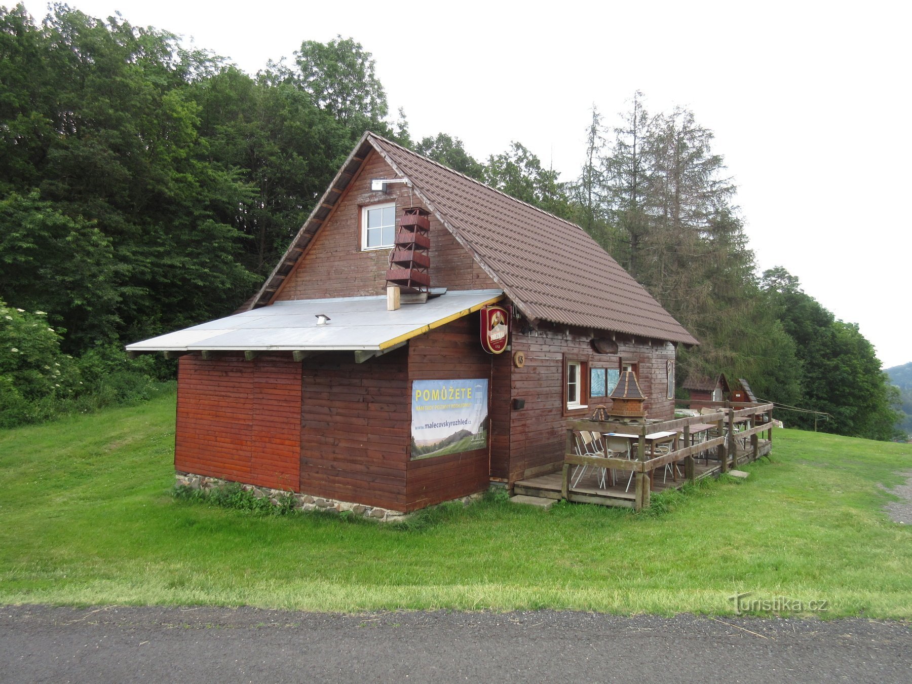
Babinský vrch


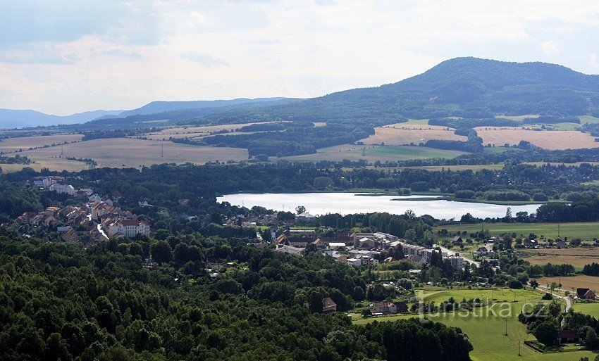
On the KČT map, two hills 1,5 km apart are marked like this. The first high 628m is 1 km east of the village of Čeřeniště /on the KČT map only the height of 630 m is shown/. The second one is 551 m high and is less than a kilometer southwest of the village of Rýdeč. On old maps it is referred to as Rýdečský vrch.
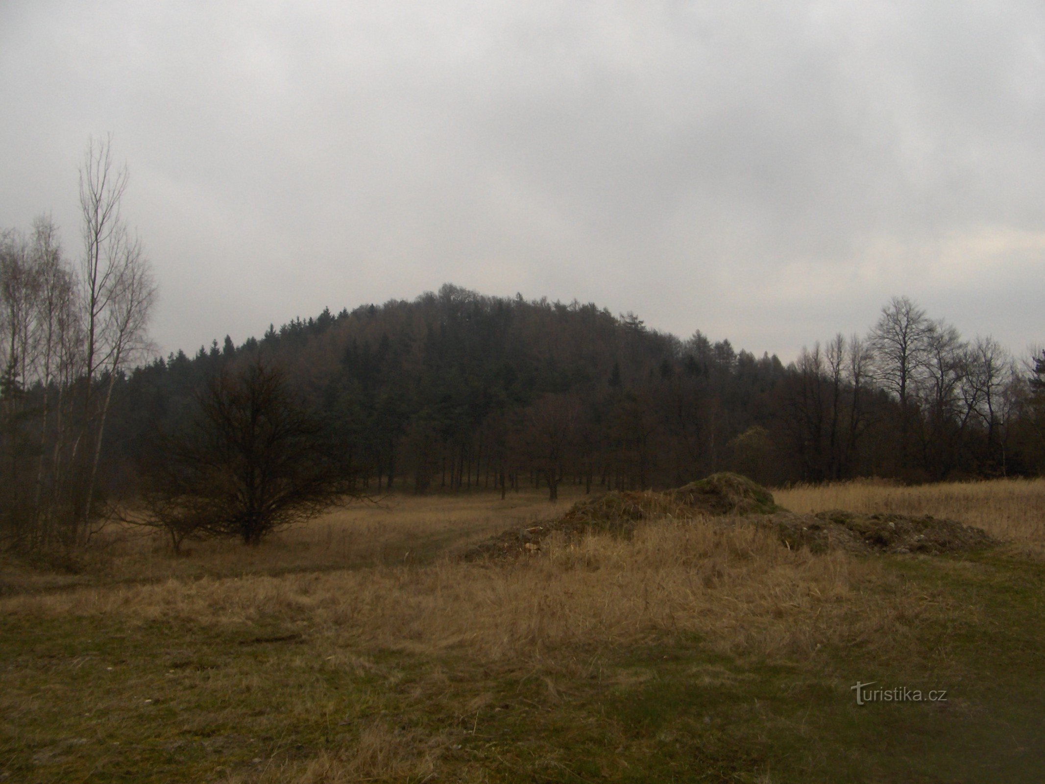
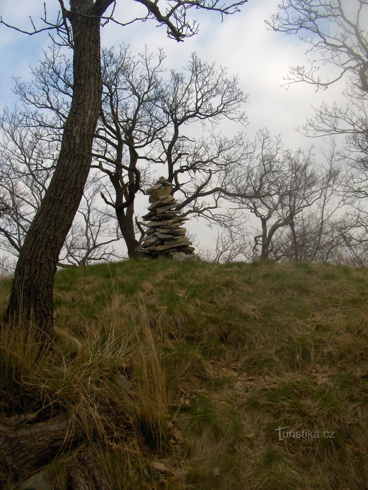
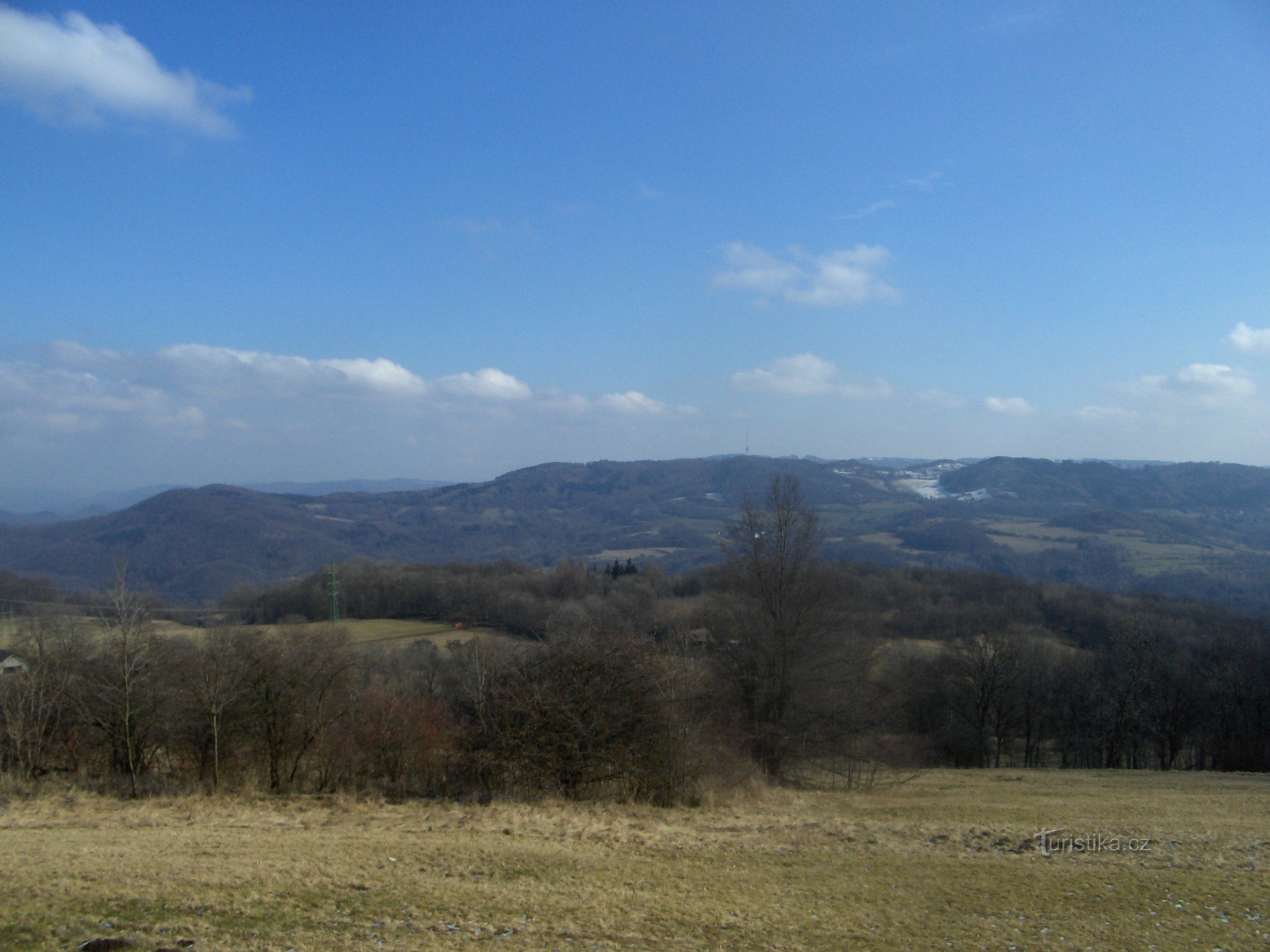
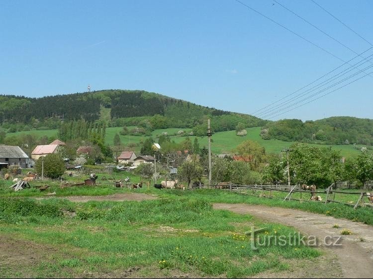
When we walk along the road from Tašov Ovčárn to Čereniště, we are caught by a striking rock on the top of Babinski on the right side...
When we walk along the road from Tašov Ovčárn to Čereniště, we are caught by a striking rock on the top of Babinski on the right side...
Share this place with friends
Babinský vrch
Other places in the vicinity - Babinský vrch
- Babin I
- Babin II
- Blahov
- Brna
- She is pregnant
- Byčkovice
- Bynev
- Church
- Blackberry grove
- Czech Copywriters
- Lower Nezly
- Dolni Řepčice
- Dolni Týnec
- Lower Zálezly
- Doubravice
- Dubice
- Firefighters
- Clay
- Homole at Panna
- Upper Nezly
- Upper Týnec
- Upper Zálezly
- Hostess
- Sluggish
- Praise
- Buckwheat
- Pebble
- Kangaroo
- Knínice
- Cotswives
- Cauldron
- Beautiful March
- Kundratice
- Lbin
- Polish
- Lhota under the Virgin
- Libochovany
- Litochovice nad Labem
- Litomerice
- Litoměřice-City
- Hunters
- Little March
- Malechov
- Painter
- Maskovice
- Michalovice
- Milbohov
- Miřejovice
- Pup
- Milk eaters
- Mojžíř
- Moravians
- Mystique
- German
- Mischief
- Pests
- Nová Ves u Pláně
- New Village
- Olešnice
- Ploskovice
- Podlesin
- The culprit
- Mountaineers
- Mountains
- Abbreviation
- Rumors
- Prackovice nad Labem
- Provost
- Outskirts
- Miner
- Rapeseed
- Beetroot
- Reteaun
- Sebuzín
- Vitriol
- Selfish
- Staňkovice
- Old Mill
- Stebno
- Strekov
- Suletice
- Svadov
- Tasov
- Techobuzice
- A thug
- Touchories
- Thorns
- Trebuzin
- Týniště
- Usti nad Labem
- Ústí nad Labem-centre
- Valtírov
- Vans
- Great March
- Great Žernoseky
- Great Újezd
- Guilty
- Behind the hospital
- Zubrnice
- Rye