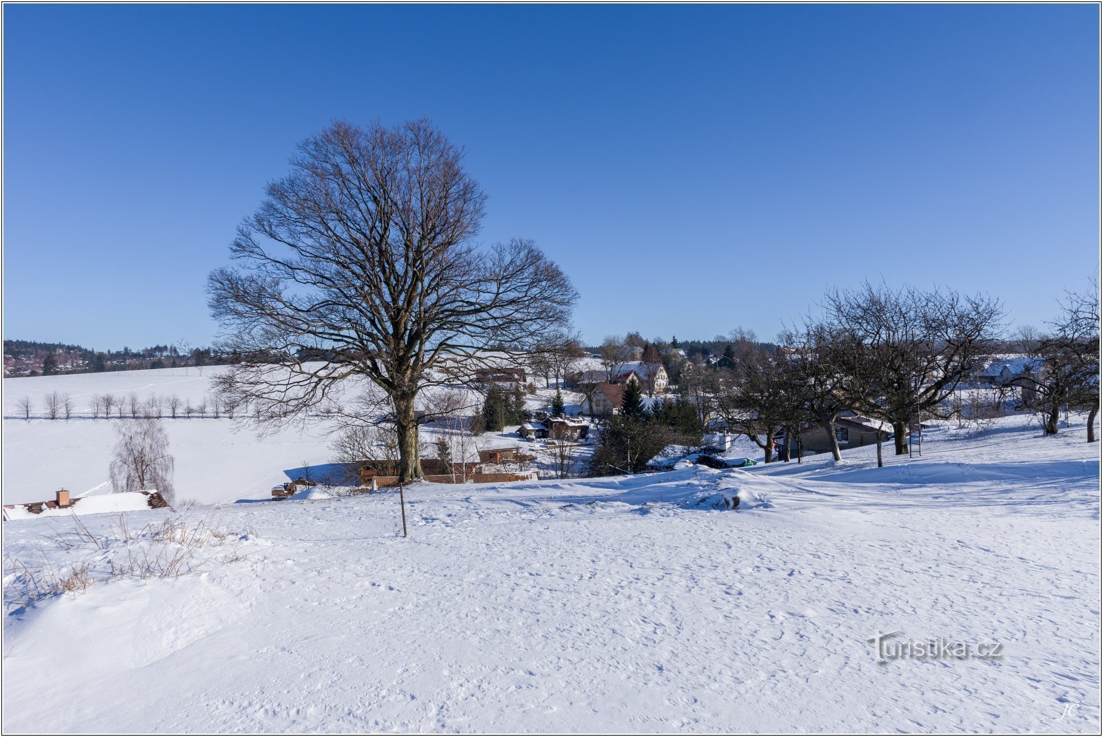
Tourist crossroads Suchý Důl, near the former hunting grounds


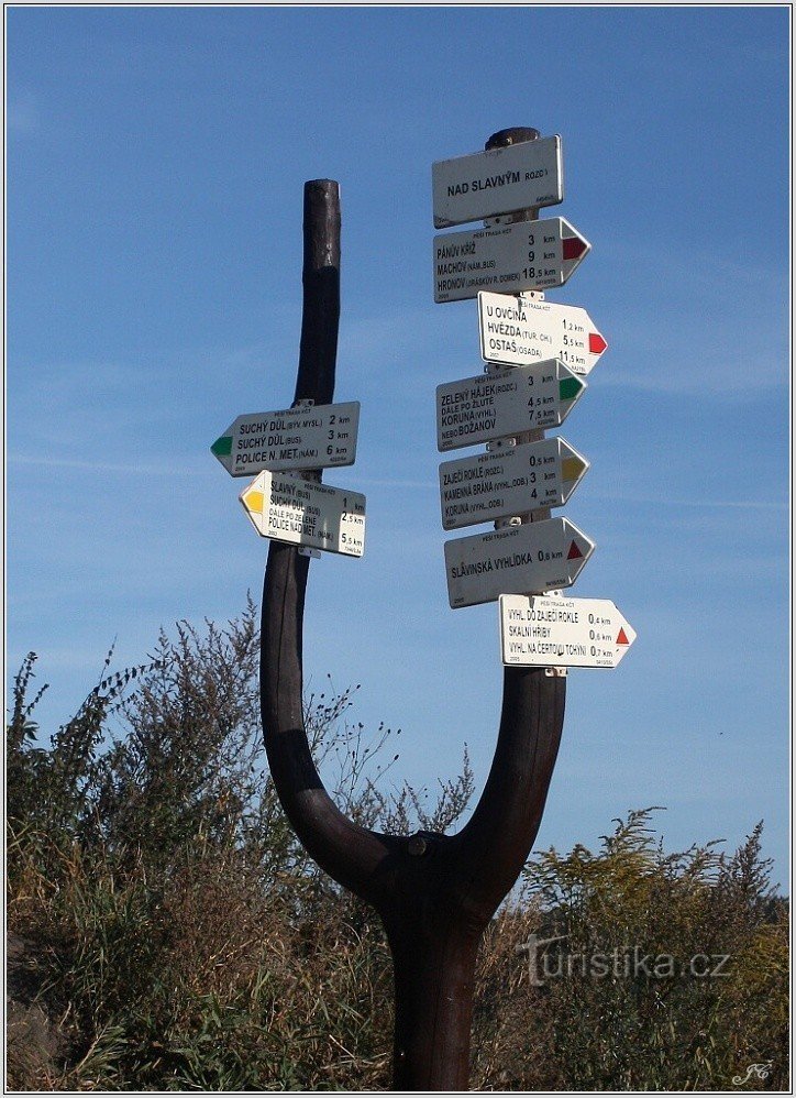
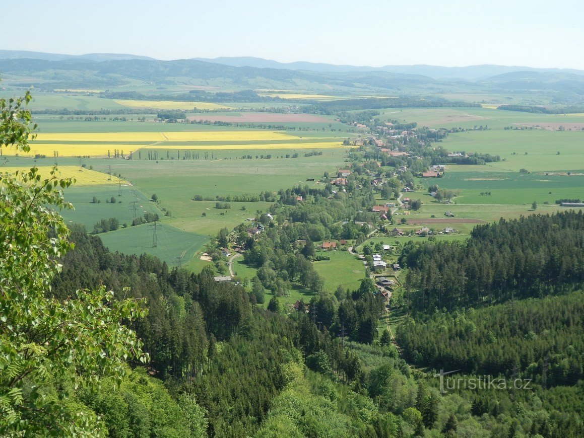
The crossroads (photo 1) is located above the village of Suchý Důl (https://www.turistika.cz/mista/suchy-dul-a-slavny) at the mouth of Hruškova Rokle (https://www.turistika.cz/mista/hruskova -ravine-in-the-walls of Broum). Marked routes:
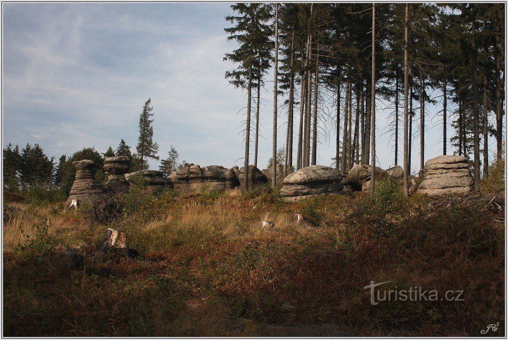
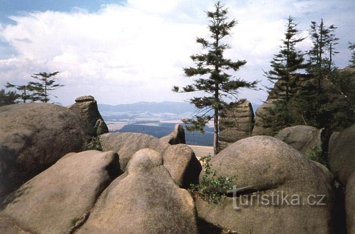
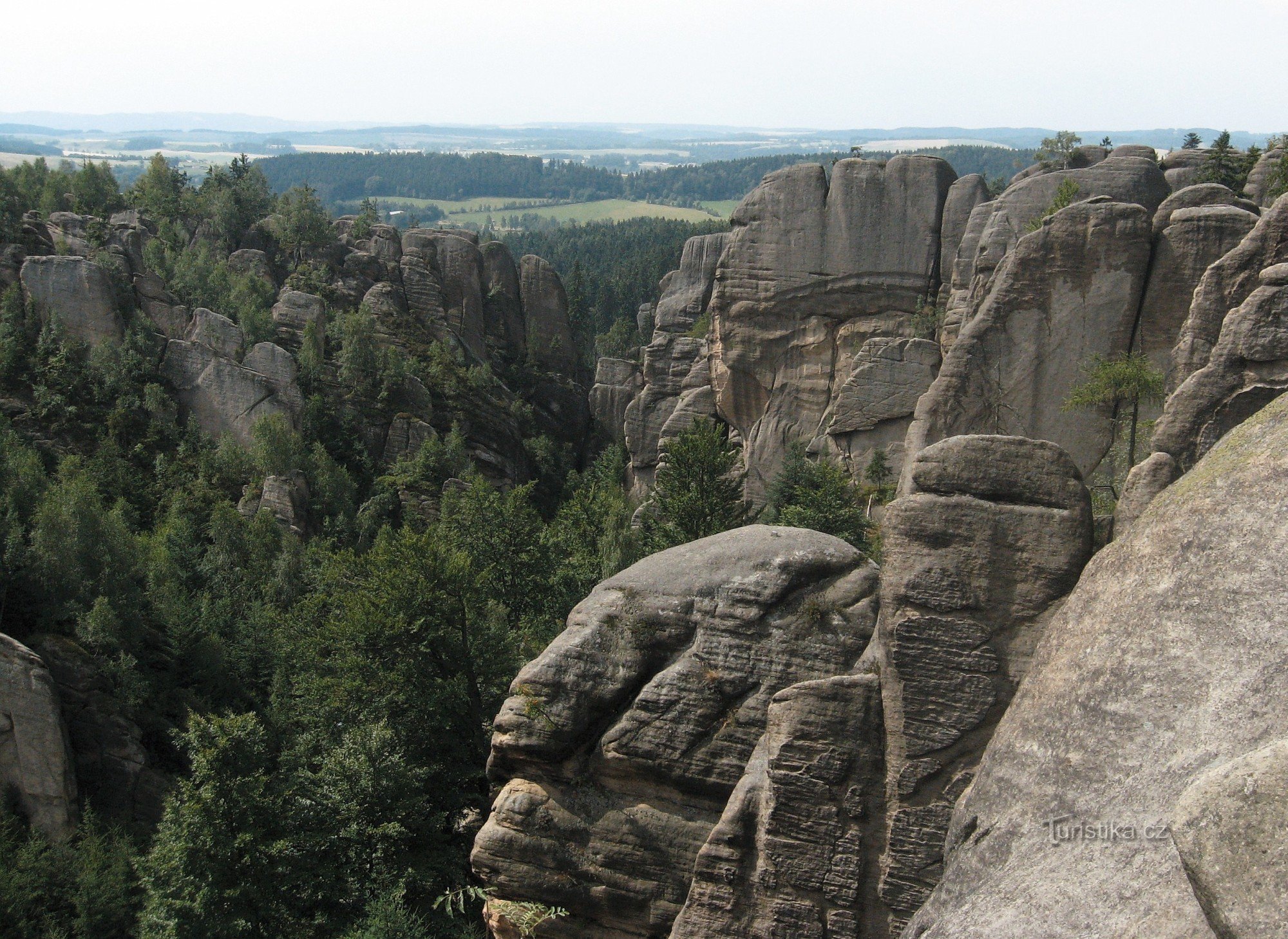
blue towards SE - Slavný, Řeřišný, Božanov (photo 2)
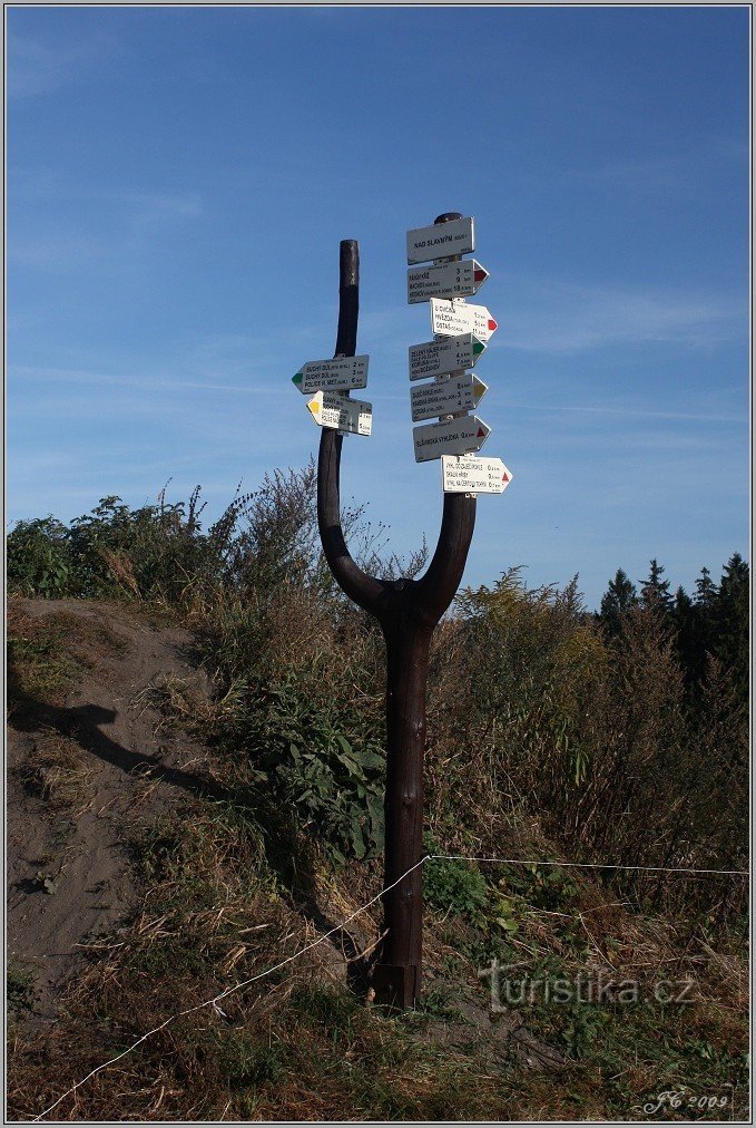
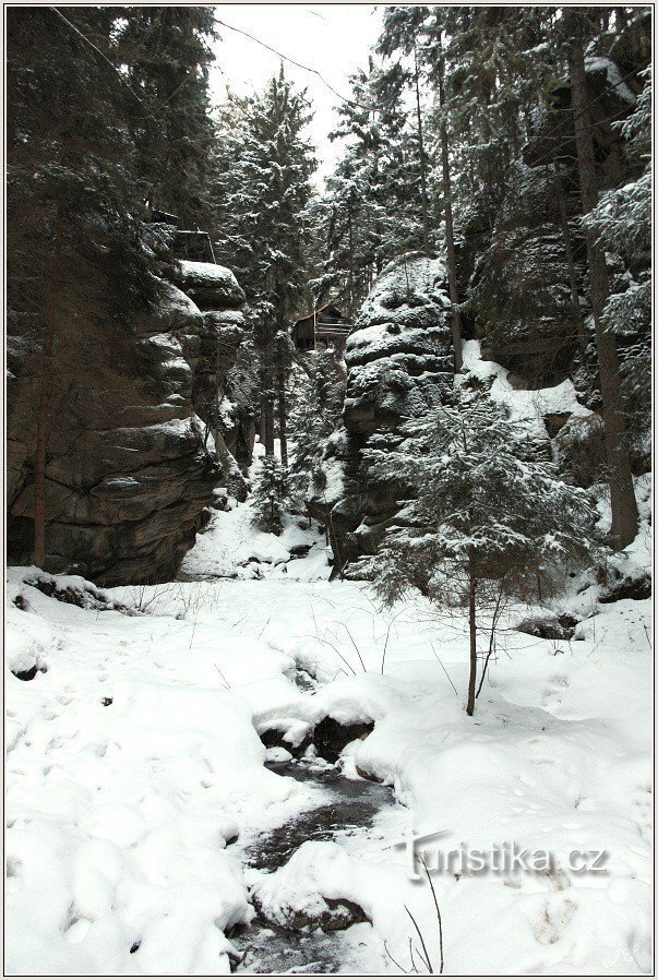
blue towards the NE – red sign below the mouth of Kovářova Rokla (photo 3), from there it is possible to follow the red path to Hlavňov or to Hvězda (photo...
blue towards SE - Slavný, Řeřišný, Božanov (photo 2)
blue towards the NE – red sign below the mouth of Kovářova Rokla (photo 3), from there it is possible to follow the red path to Hlavňov or to Hvězda (photo...
Share this place with friends
Tourist crossroads Suchý Důl, near the former hunting grounds
Other places in the vicinity - Tourist crossroads Suchý Důl, near the former hunting grounds
- White
- Benesov
- Bezděkov nad Metuji
- Bohdašin
- Božanov
- Broumov
- Birch
- Bukovice
- Smart
- Czech Metuje
- Grandpa
- Dolní Teplice
- Hetmánkovice
- Chamomile
- Hlavňov
- Hunts
- Horní Dřevíč
- Hronov
- Hynčice
- Javor
- Jetrichov
- Colony May 5
- Krynice
- Lachov
- Machov
- Machovská Lhota
- Maršov nad Metuji
- Martinkovice
- Intercity
- Low Serbian
- Nove Mesto
- Olive tree
- The more
- Pekov
- Petrovice
- Petrovichka
- Shelf above Metuji
- They will tell
- Radesov
- sea buckthorn
- Rozmital
- Rockery
- Famous
- Starkov
- Cold water
- Dry Mine
- Teplice nad Metují
- Great Ledhuje
- Great Village
- Velké Petrovice
- Big Lumberjack
- Vernéřovice
- Hairpin
- High Serbian
- Conclusions
- The bad guy
- Frogs
- Žďár nad Metuji
- ŽĐárky