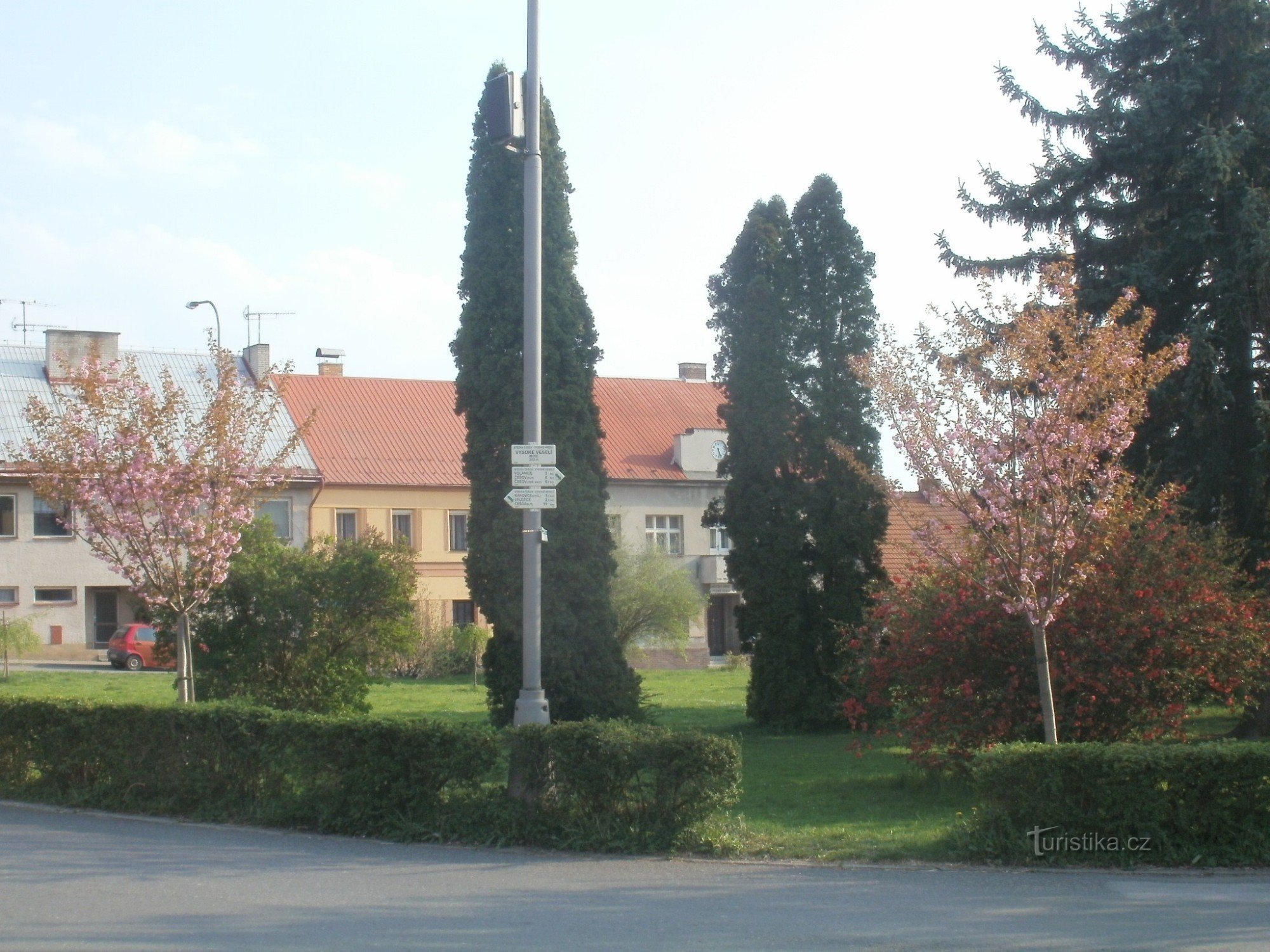
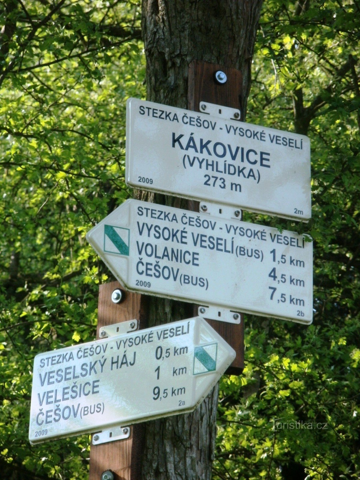
route - Educational trail Česov - Vysoké Veselí


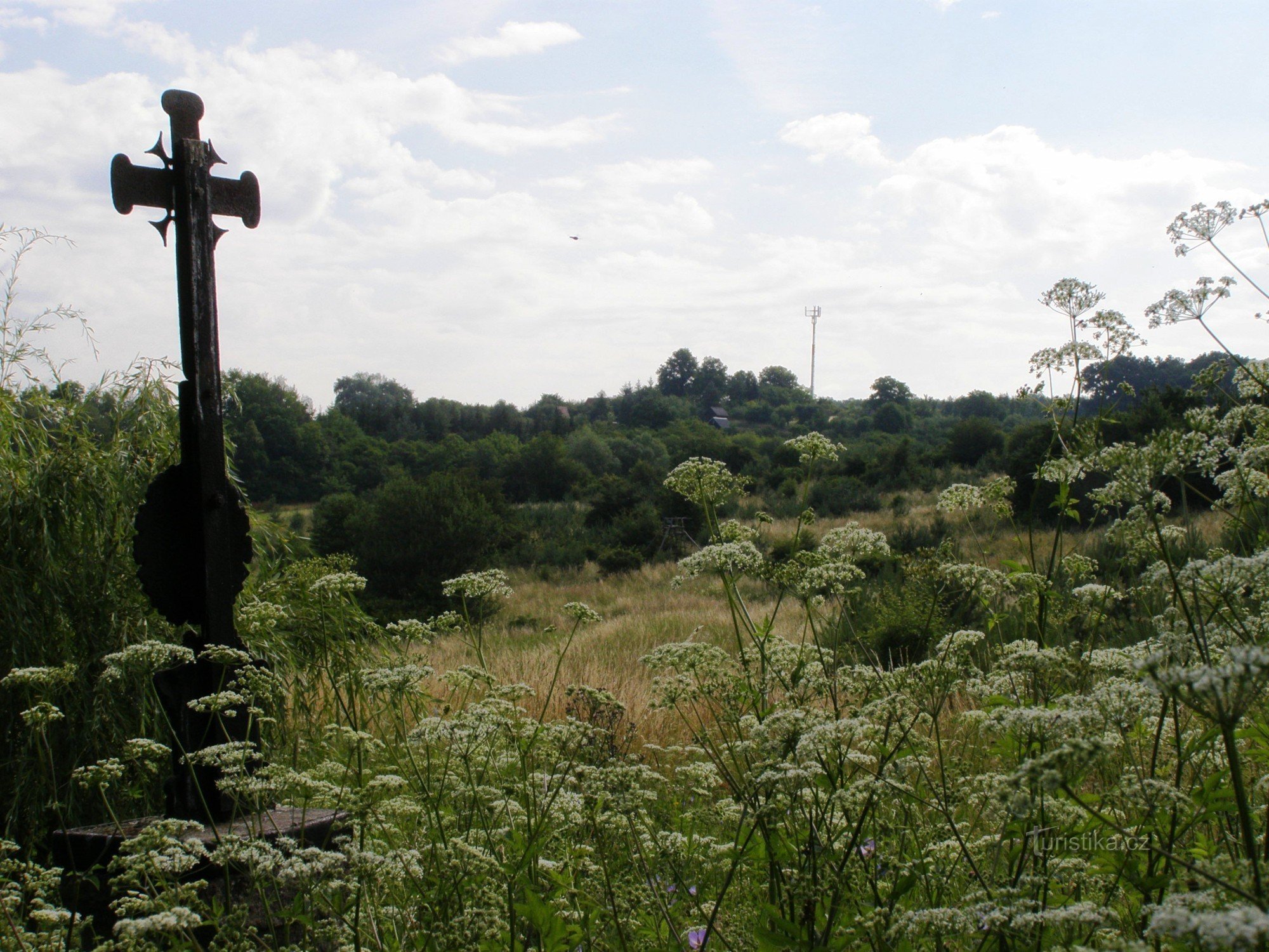
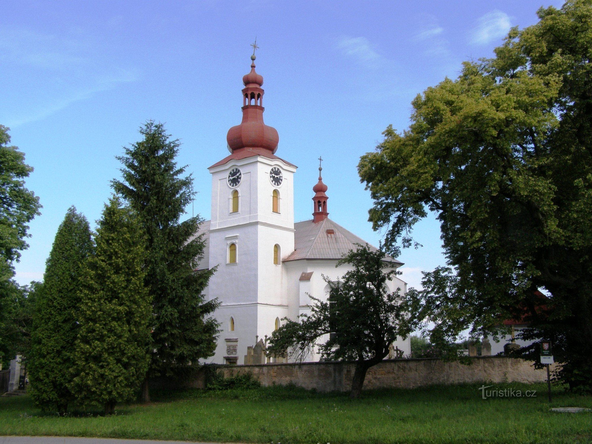
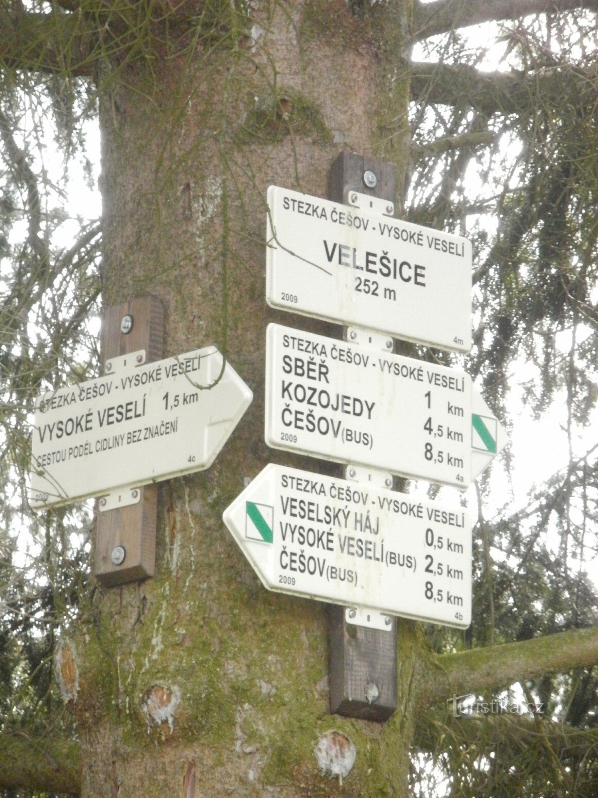
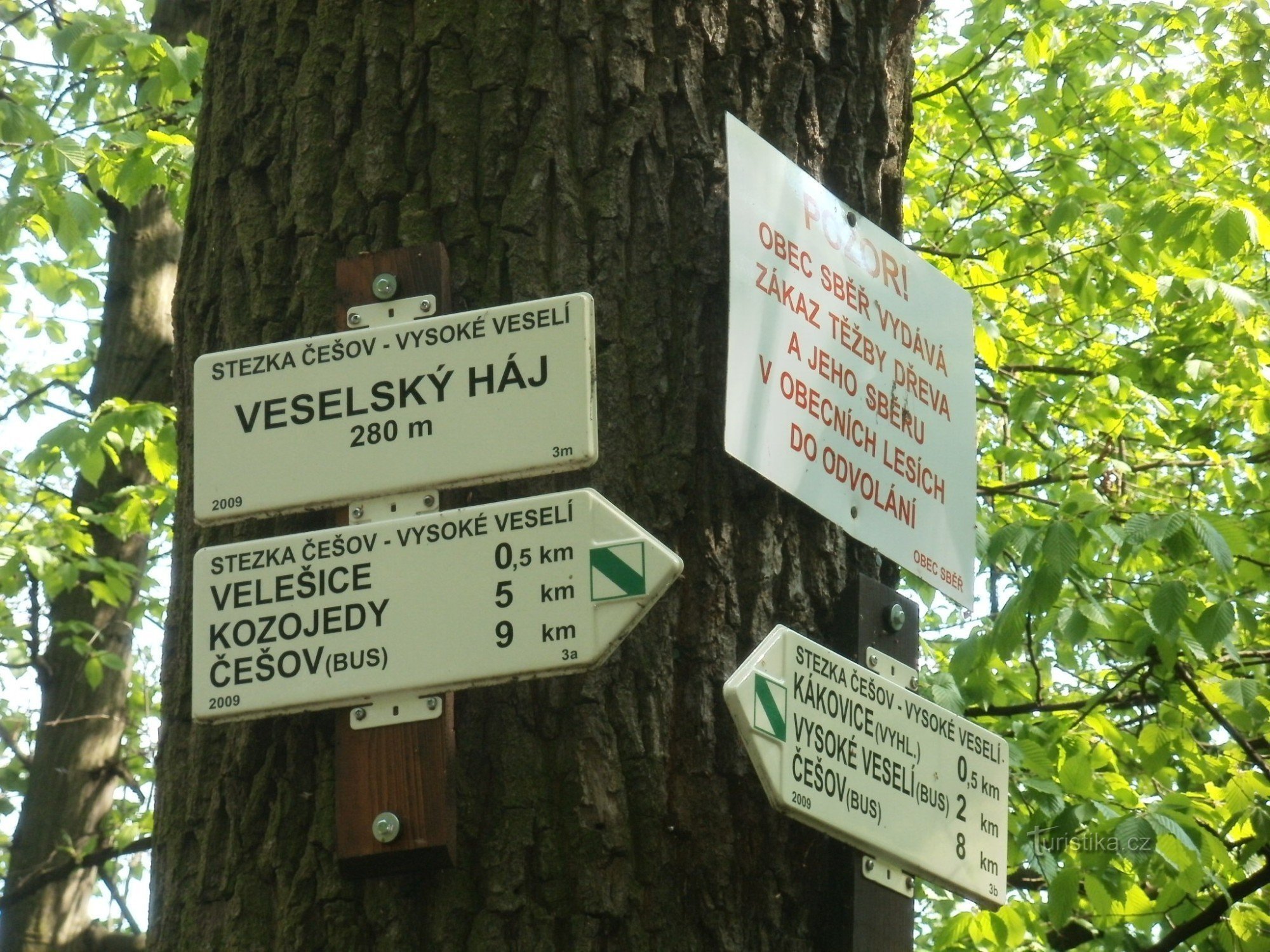
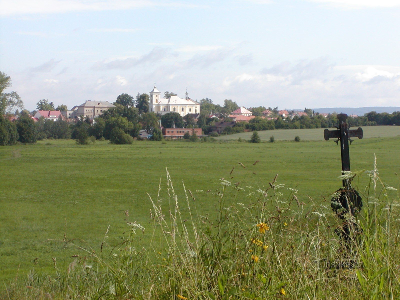
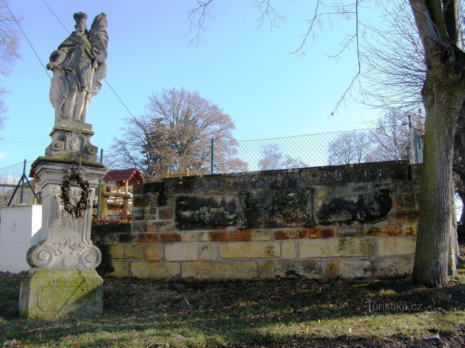
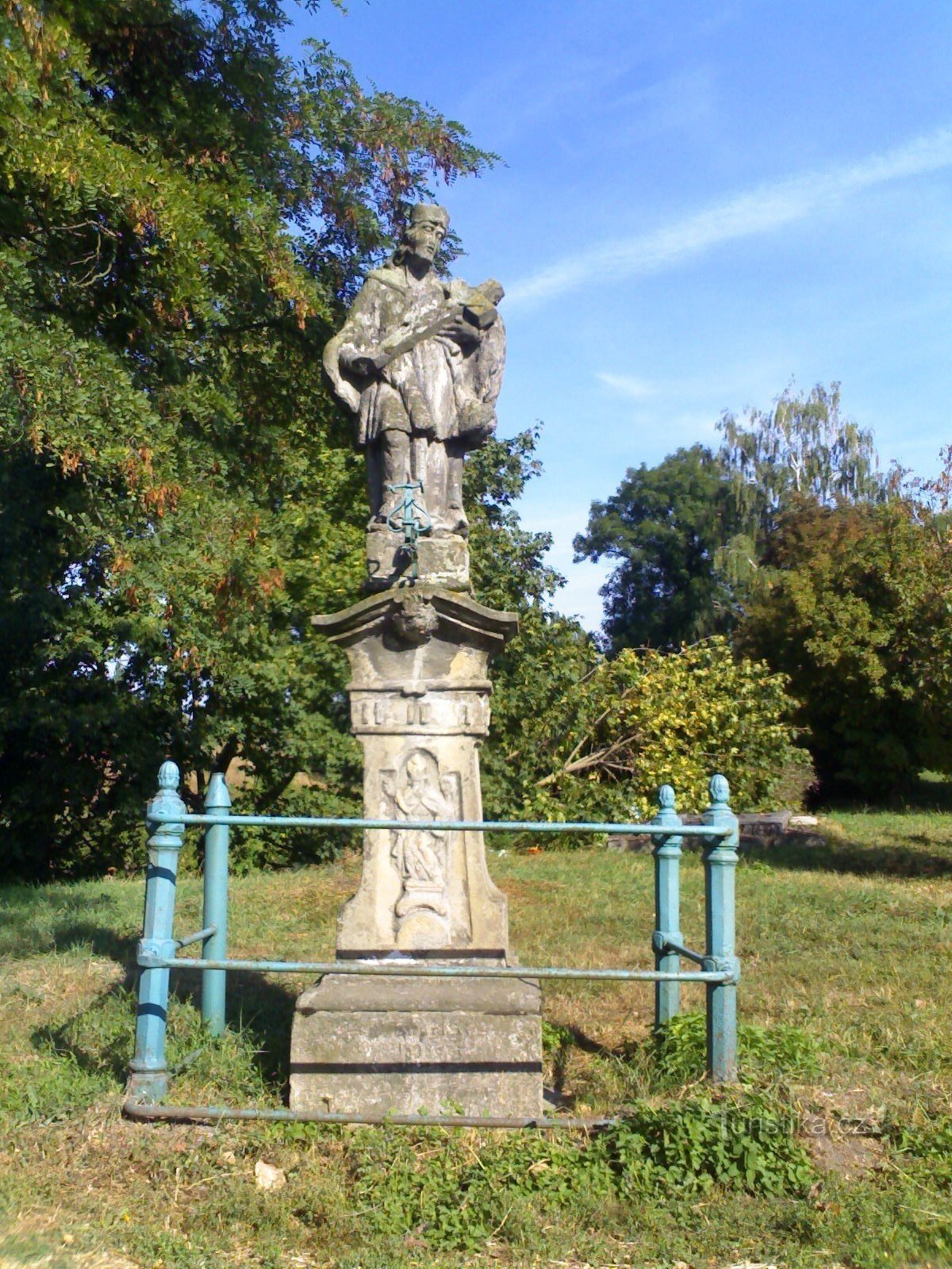
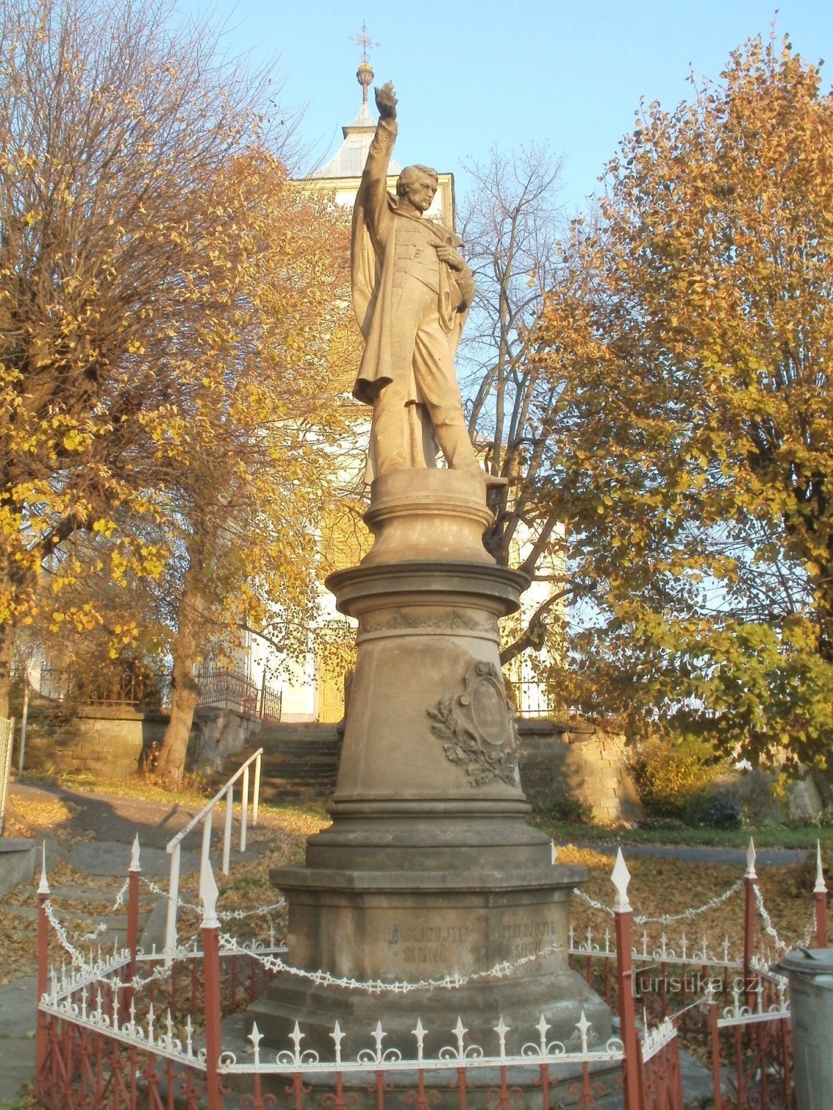
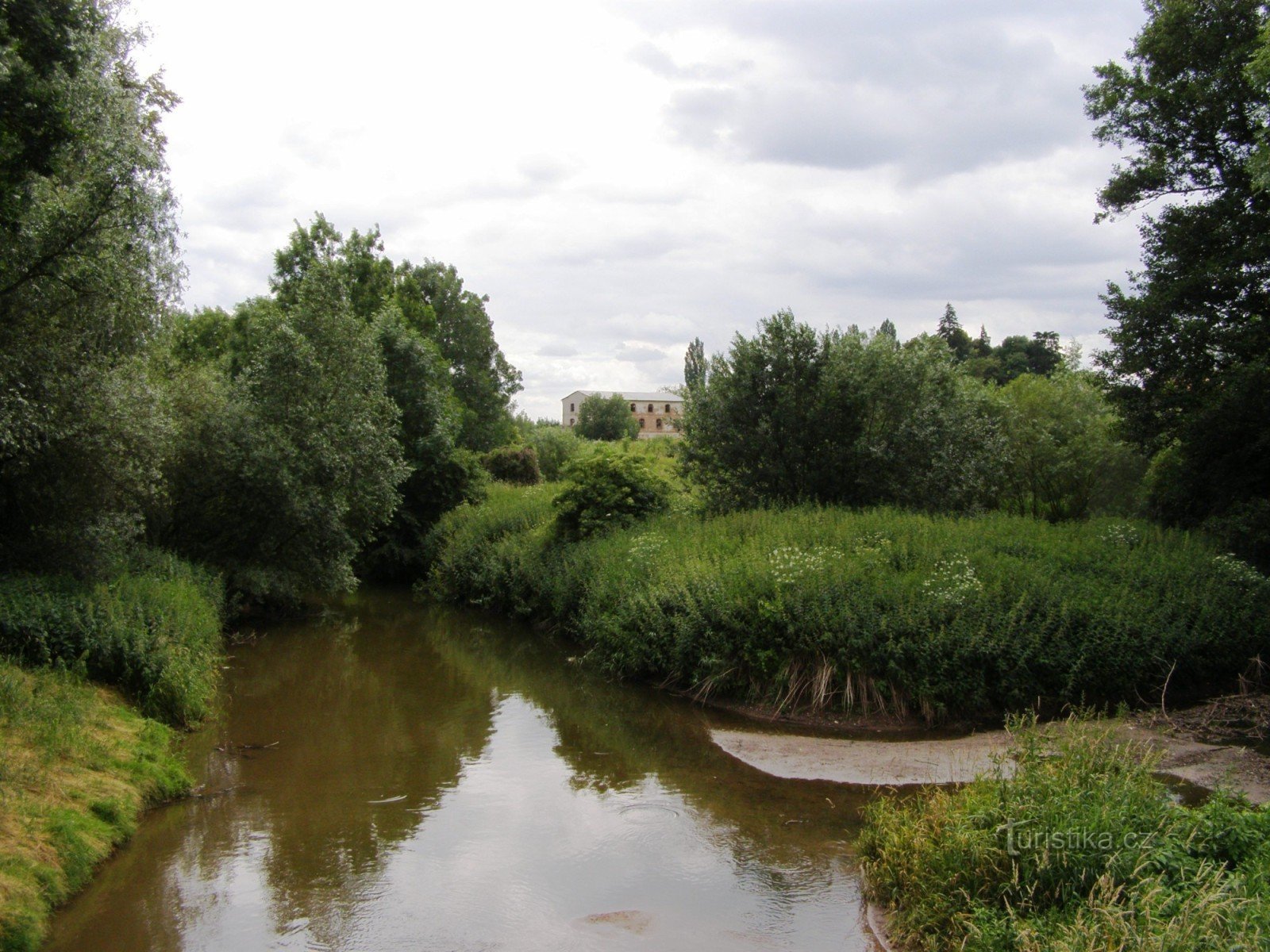
The NS route is approx. 20 km long, its beginning or end is located both in Vysoké Veselí and in Česov, with a turnoff to Česovské Valy. The trail passes through the villages of Češov, Volanice, Vysoké Veselí, Veselský les, Velešice, Sběří and Kozojedy. The most interesting location of the trail is probably the Češovská valy itself, a hillfort that was probably built by the Celts as early as the 1st century, later, between the 6th and 10th centuries...
Share this place with friends
route - Educational trail Česov - Vysoké Veselí
Other places in the vicinity - route - Educational trail Češov - Vysoké Veselí
- Bartousov
- Butoves
- Červeneves
- Czech Republic
- Dolan
- Housewives
- Yard
- Hlušice
- Deaf girls
- Hradištko
- Tombstones
- Hubálov
- Chomutice
- Pickles
- Cótelice
- Chroustov
- Janovice
- Jičíneves
- Kacákova Lhota
- Oysters
- It ends
- Church
- Kouty
- Blacksmith
- Kozojedy
- Goat eaters
- Screaming
- Laboun
- Liběšice
- Liskovice
- Loučná Hora
- Milíčeves
- Mystèves
- Nachod region
- You don't wash
- Nausea
- New Cabinet
- New Smrkovice
- Game reserve
- Firefighters
- Osek
- Ostrometer
- Podhorní Újezd
- Podhorní Újezd and Vojice
- Rabble
- Hatchet
- Larks
- Swamps
- Celebration hostess
- Column
- Smidarska Lhota
- Smidars
- Selfie
- Old Cabinet
- Old Smrkovice
- Old Bydžov
- Silversmith
- Sylvárův Újezd
- Shaplava
- Teresa's Gifts
- Reeds
- Tur
- Velesice
- Veselská Lhota
- Wineries
- Vitíneves
- Wetlands
- Soldiers
- Bells
- Vrbice
- The top
- Vysok Veselí
- The heiress
- Jewish woman
- Rye
- Jaundice