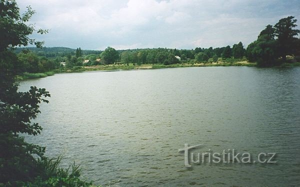
FISH POND


The village of RYBNIŠTĚ
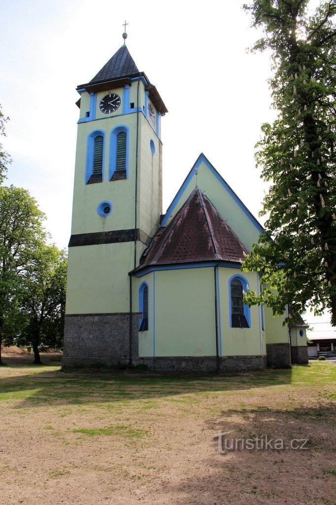
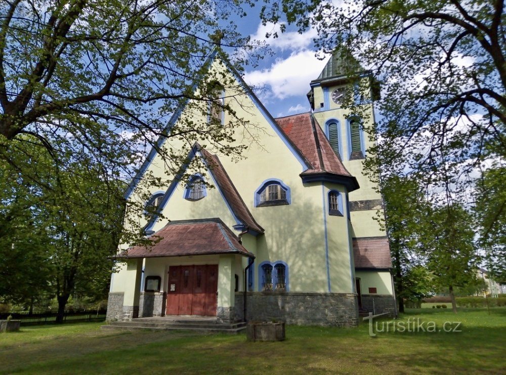
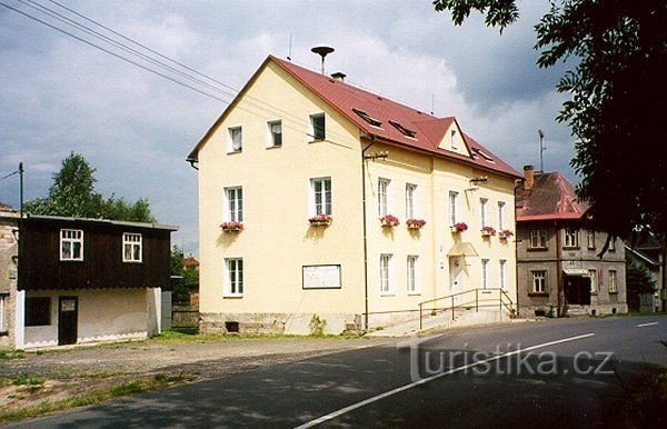
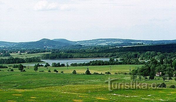
The village of Rybniště is located in the eastern part of the Děčín district in the southern part of the Šluknovské outcrop in a wide saddle between Plešivce and Široký vrch at an altitude of 460 meters above sea level Cadastre area 12.715 km2. The village consists of two cadastral territories, Rybniště and Chřibská Nové Ves. The number of inhabitants is approximately 730. The oldest part of the village, Chřibská Nová Ves, was founded in 1475 in Šlejnice, by the then...
The village of Rybniště is located in the eastern part of the Děčín district in the southern part of the Šluknovské outcrop in a wide saddle between Plešivce and Široký vrch at an altitude of 460 meters above sea level Cadastre area 12.715 km2. The village consists of two cadastral territories, Rybniště and Chřibská Nové Ves. The number of inhabitants is approximately 730. The oldest part of the village, Chřibská Nová Ves, was founded in 1475 in Šlejnice, by the then...
Share this place with friends
FISH POND
Other places in the vicinity - FISH POND
- Beer bottles
- Long Mine
- Lower Falknov
- Dolní Chřibská
- Dolni Křečany
- Lower Podluží
- Lower Prysk
- Doubice
- Falknov
- hely
- Hill's Mill
- Upper Chribská
- Upper Podluží
- Chribska
- Jedlová
- Jetřichovice
- Jiřetín pod Jedlová
- Stone Hot
- Catherine
- Beautiful Lipa
- Beautiful Field
- Beautiful Beech
- Kunratice
- Kyiv
- Kytlice
- Ladečka
- Forest
- Lipnice
- Fox
- Mills
- Nová Chřibská
- New Krečany
- Manorial
- Spray
- View
- Rumburk
- Rumburk 2-Horní Jindřichov
- Rybniště
- Rynartice
- Snowy
- Old Cretans
- Spring
- Cold
- Skylight
- Lights, part 1
- Lights, part 2
- Varnsdorf
- Wolf Mountain
- Gardens
- Žofín