Wandering through Hornolesk


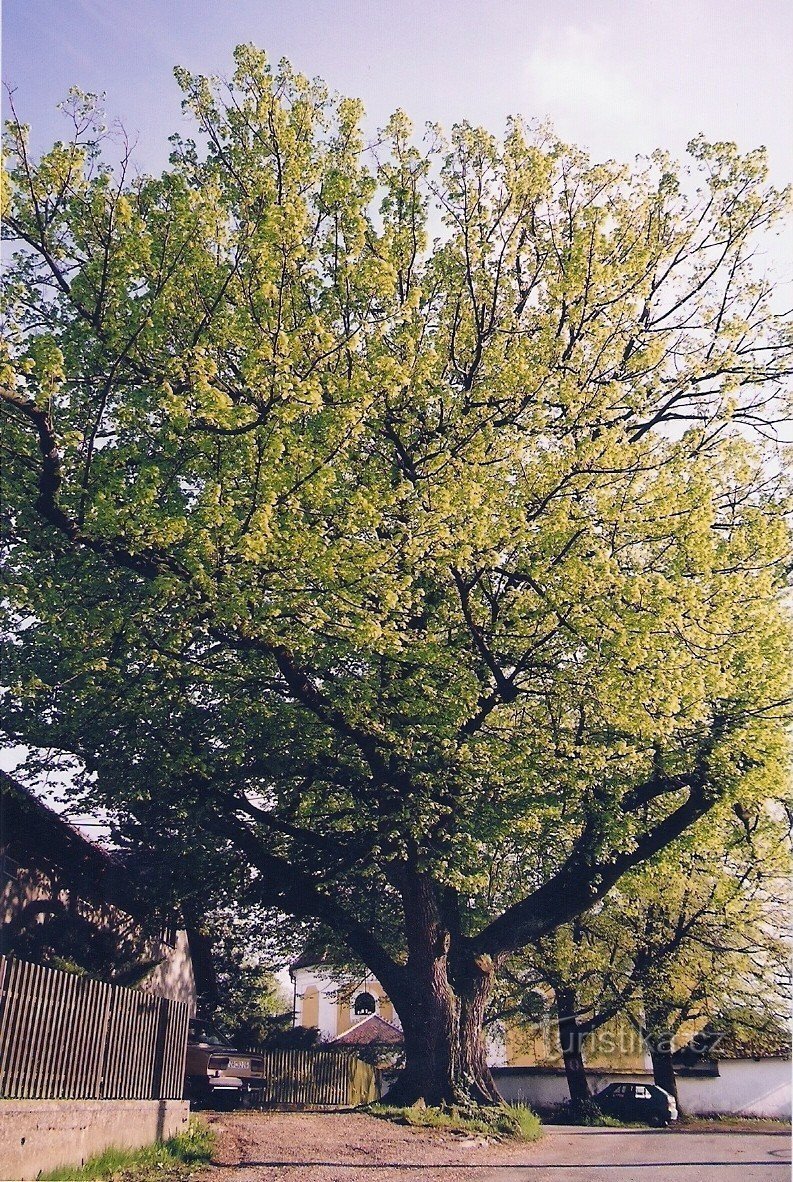
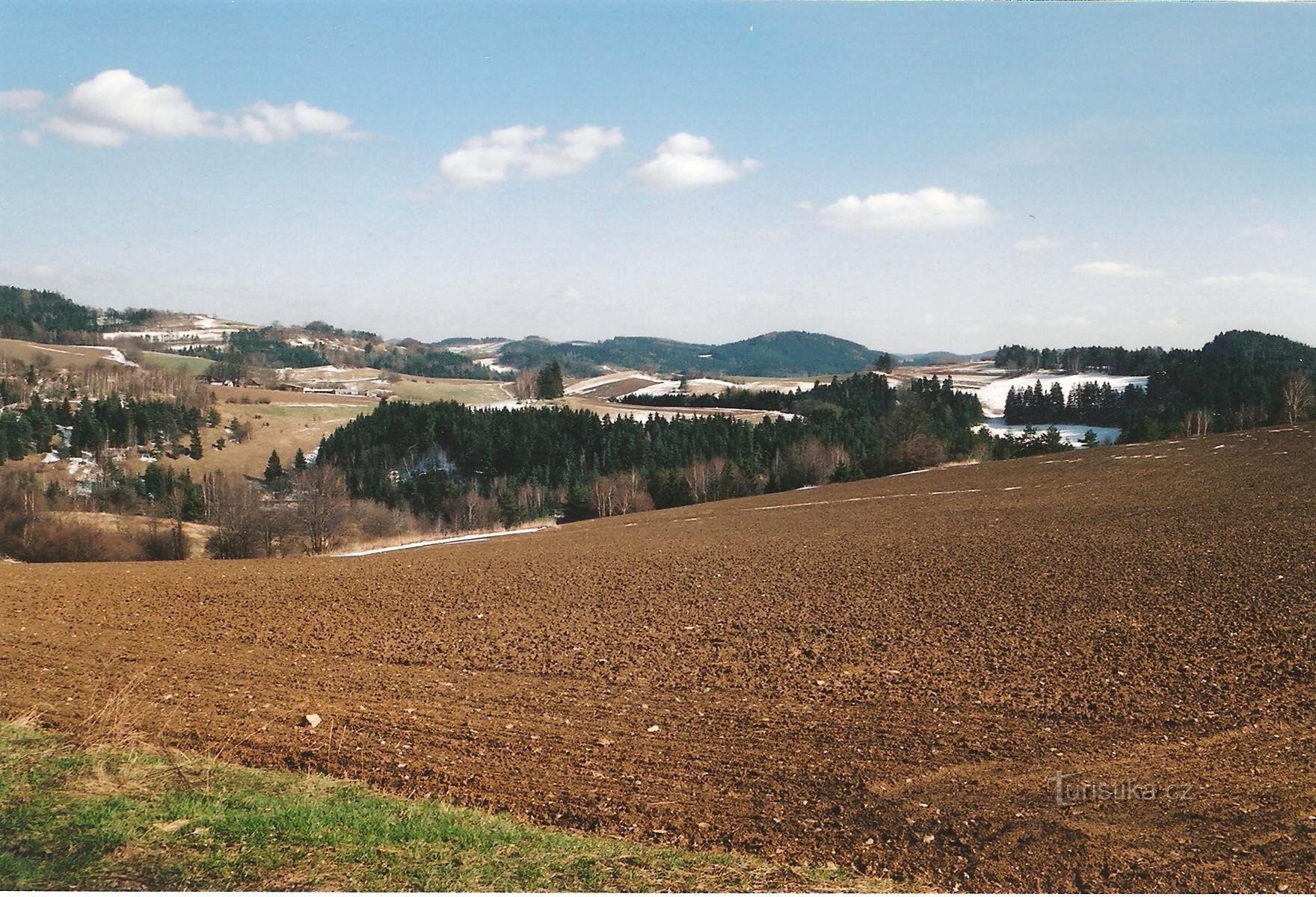
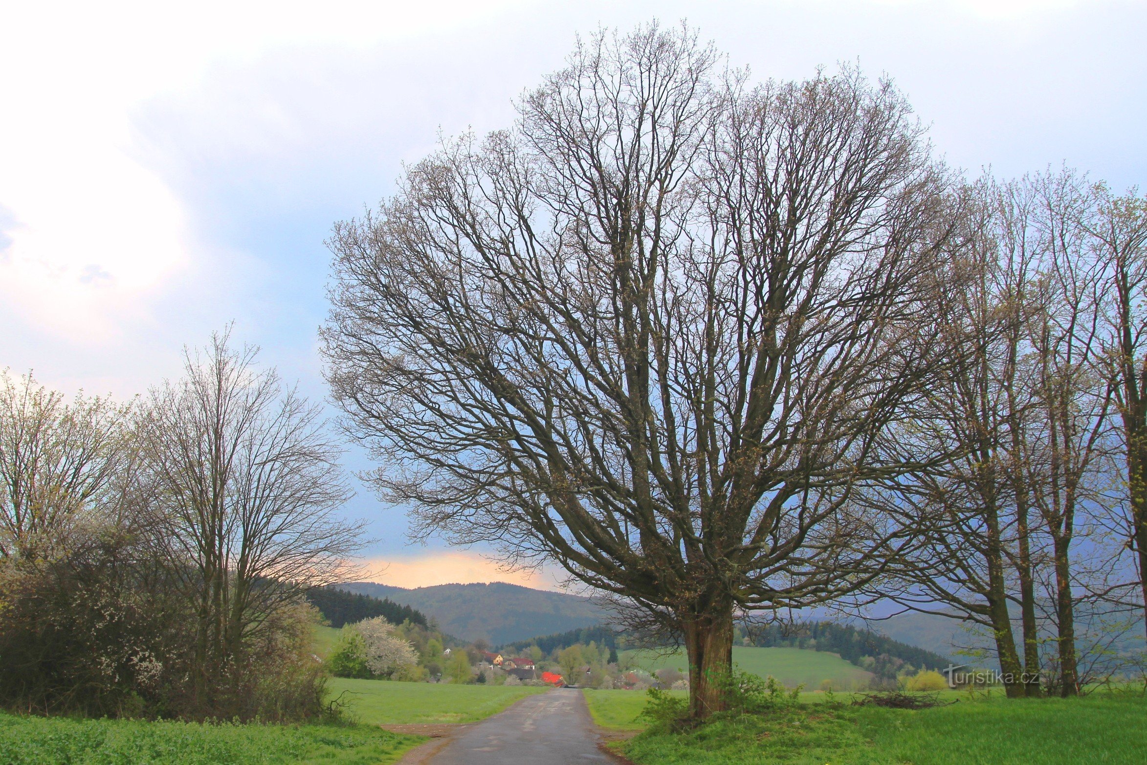
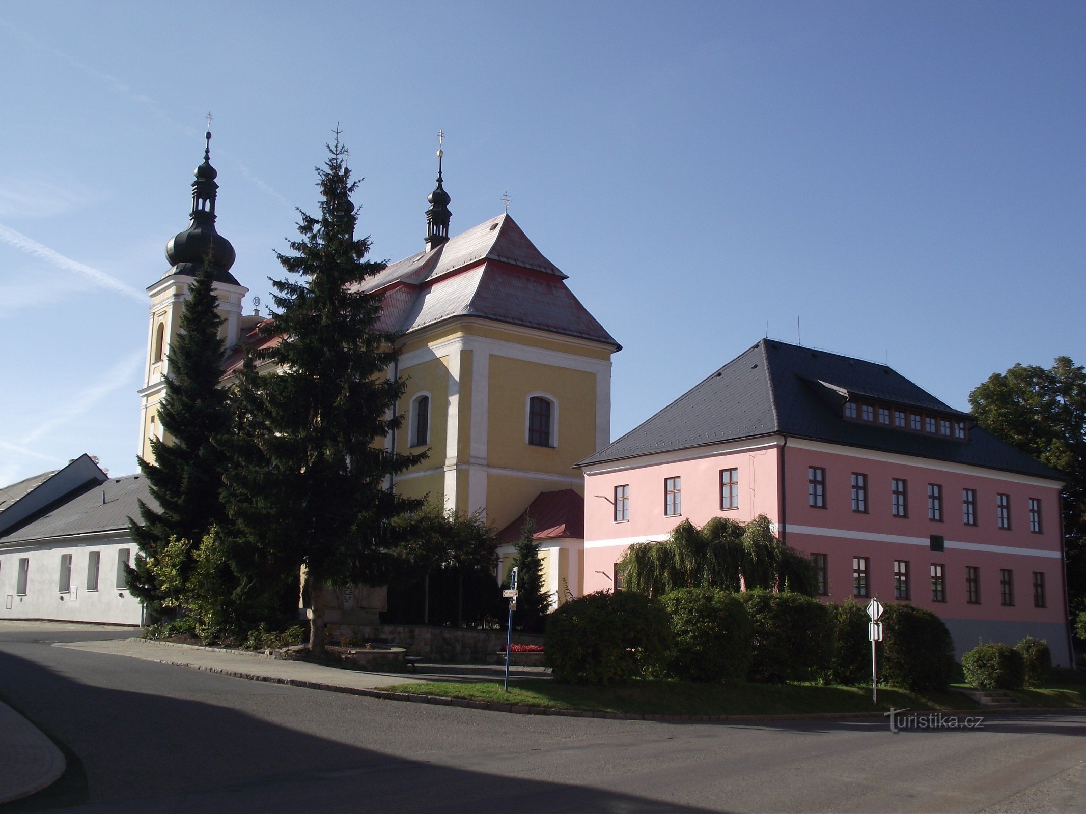
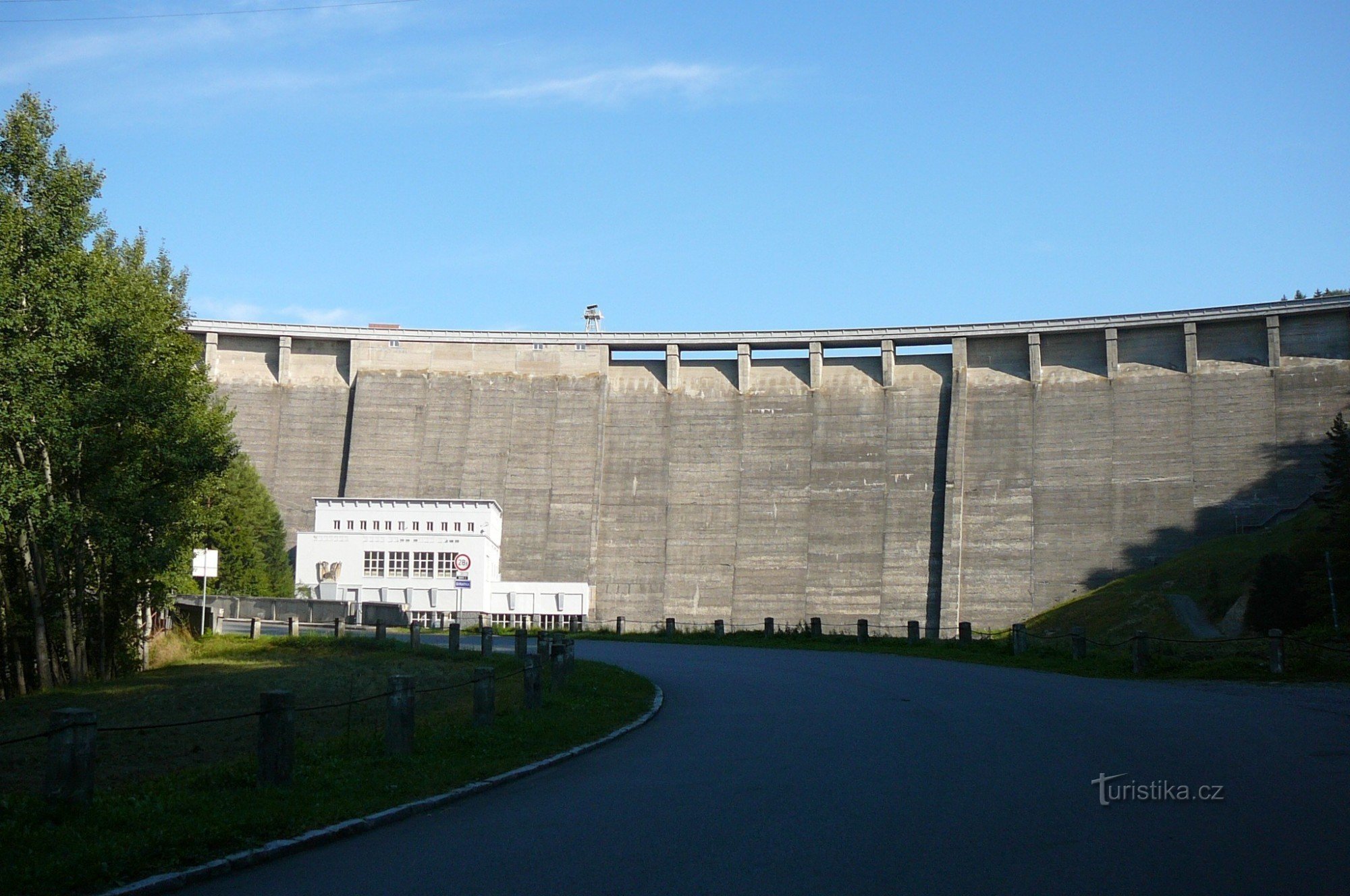
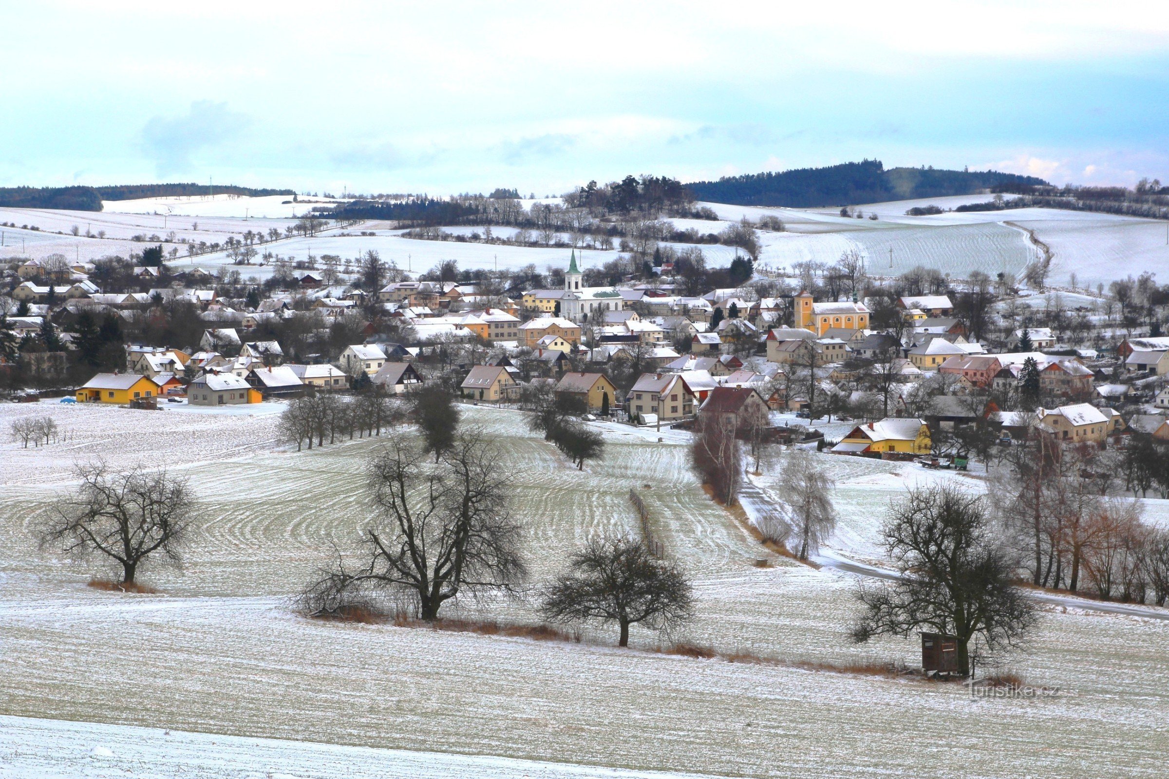
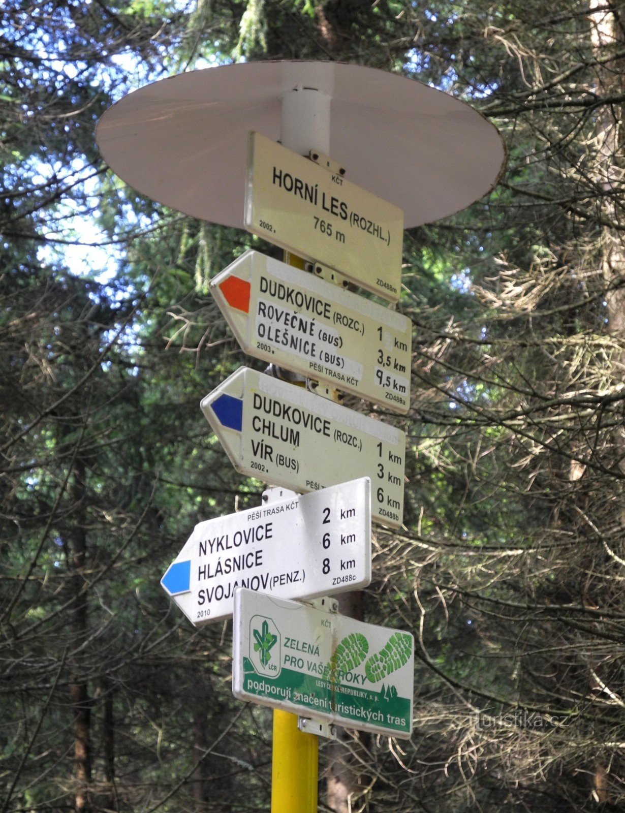
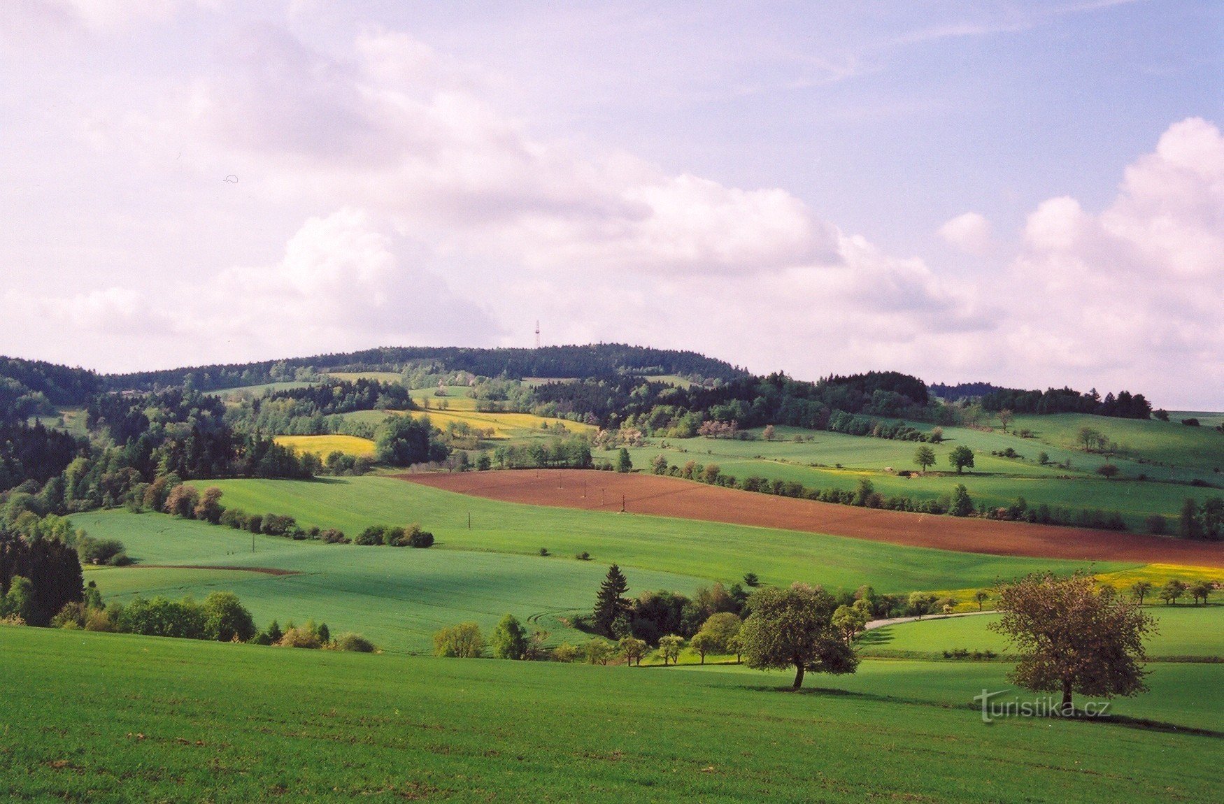
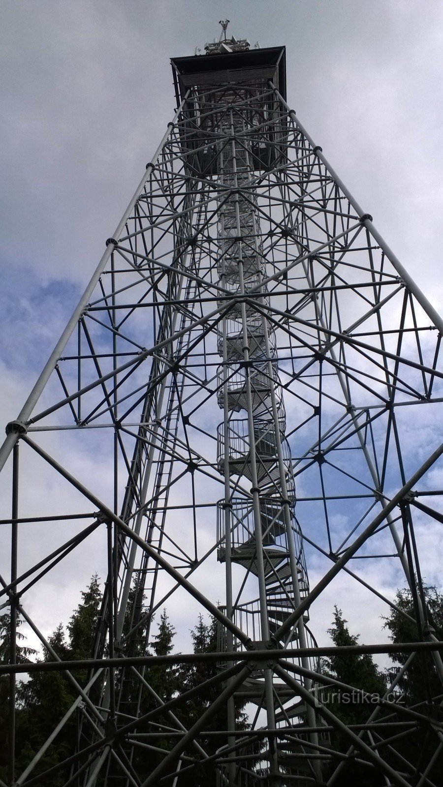
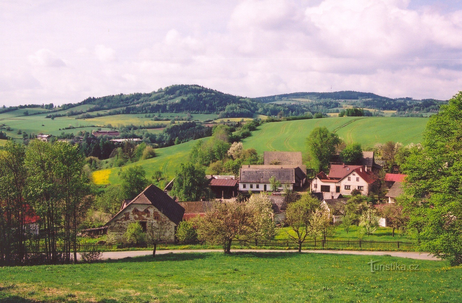
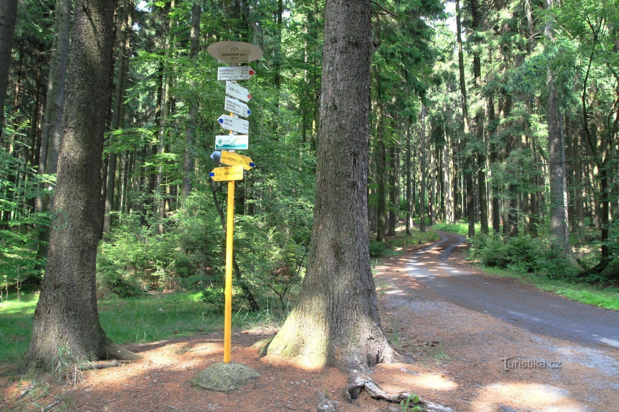
A trip to Hornolesko can be made at any time of the year. It is located on the border of three regions, South Moravian, Pardubice and Vysočina. Administratively, it belongs to the latter today. You can get here from Olešnica, Bystrý and Vír. Hornolesko is a rugged landscape in the vicinity of the dominant local area, the highest point of the Svratecka Hornatina - Horní les (774 m) and the villages of Sulkovec, Polom, Nyklovice,...
Share this place with friends
Wandering through Hornolesk
Other places in the vicinity - Wandering through Hornolesk
- Venice
- Bohuňov nad Křetínkou
- Painful
- cousin
- They're nagging
- Smart
- Bystřice above Pernštejn
- Crhov
- Four Courts
- Dalecin
- Lower Lhota
- Domanian
- Yard
- Hammers
- Hartmanice
- Message board
- Deep
- Smelters
- Chlum
- Chlum-Korouhvice
- Janovičky
- Jedlová
- Jimramov
- Job's Lhota
- Karasín
- Principality
- Grasshopper
- Weather vanes
- Circular
- Kozlov
- Křtěnov
- Lesonovice
- Lhota near Olešnica
- Fox
- Louka
- Little Tresné
- Man's Lhota
- They don't drive
- Nyklovice
- Olešnice
- Sandy
- Peony
- In half
- Prosetin
- Outskirts
- Rugged
- The same age
- Saddlery
- Old Svojanov
- Stasov
- Strachuyov
- Studenec
- Sulkovec
- Svojanov at Polička
- Štěpánov nad Svratkou
- Welder
- Trhonice
- I'm suffering
- Ubusin
- Ubusinek
- Uncin
- Retreat
- Velké Janovice
- Great Tresne
- Festivity
- Veselka
- Vestin
- The vestry
- Vortex
- You're welcome
- Vítochov
- Beggar