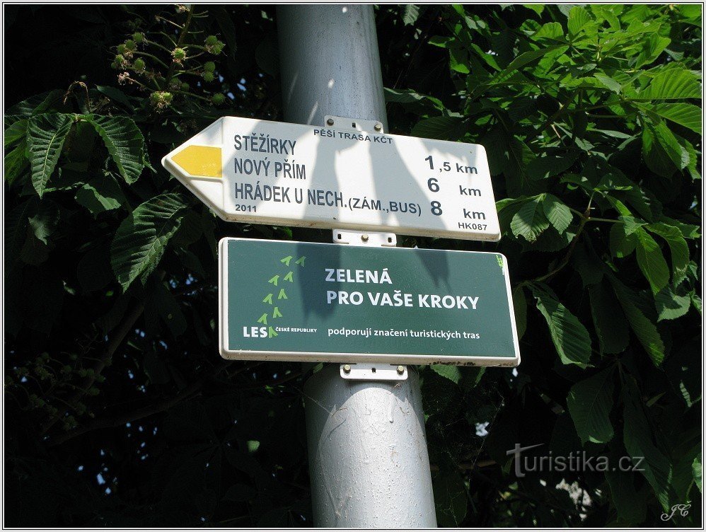
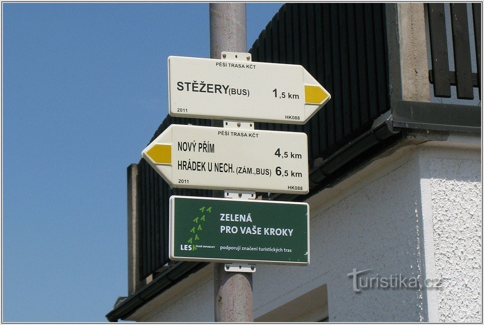
To Hrádek u Nechanice from Stěžer along the new yellow road


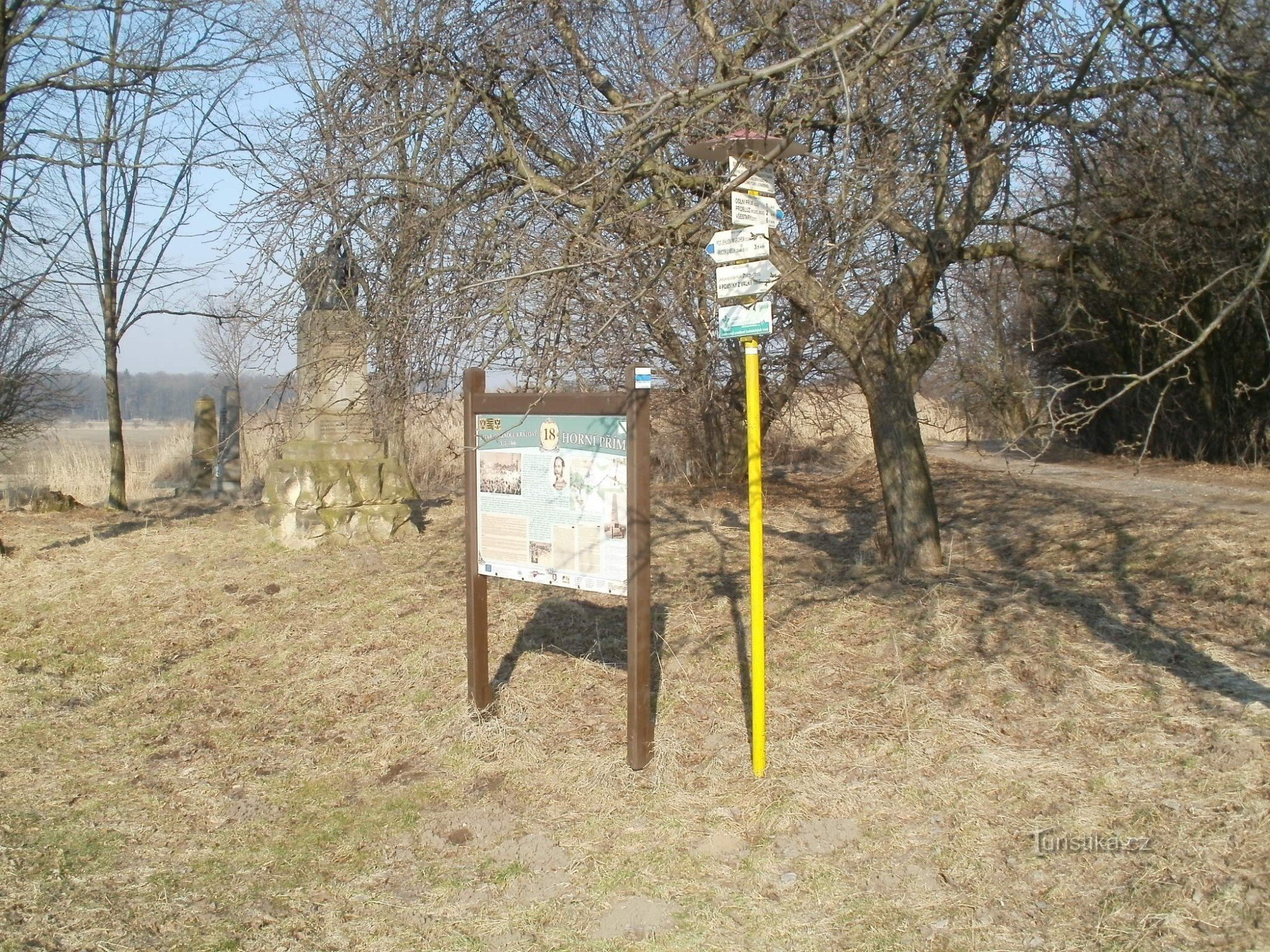
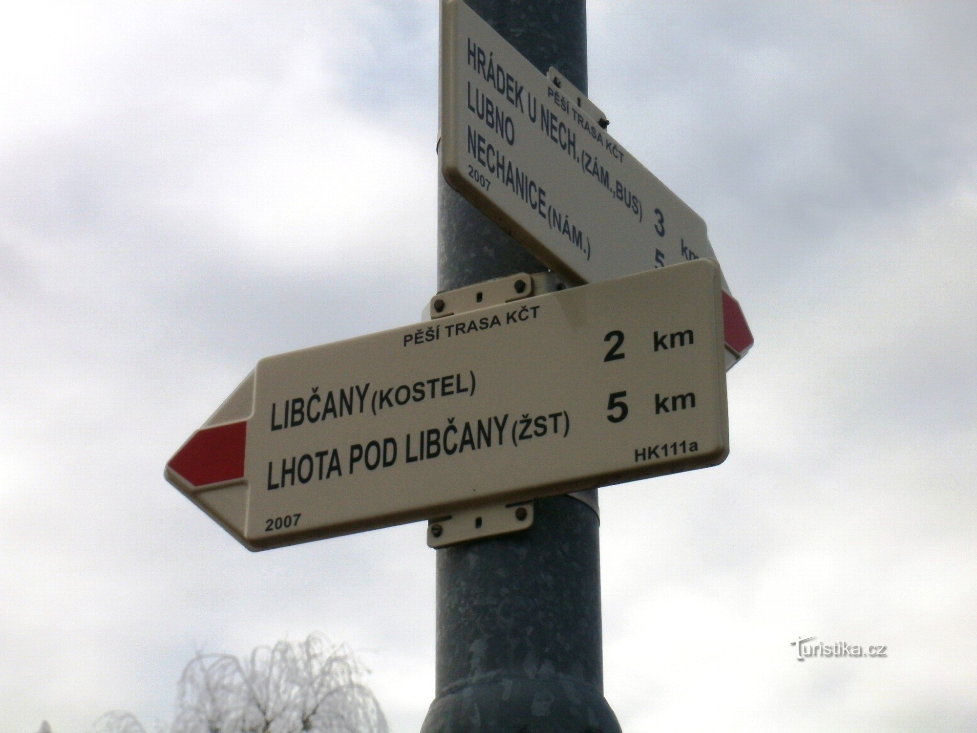
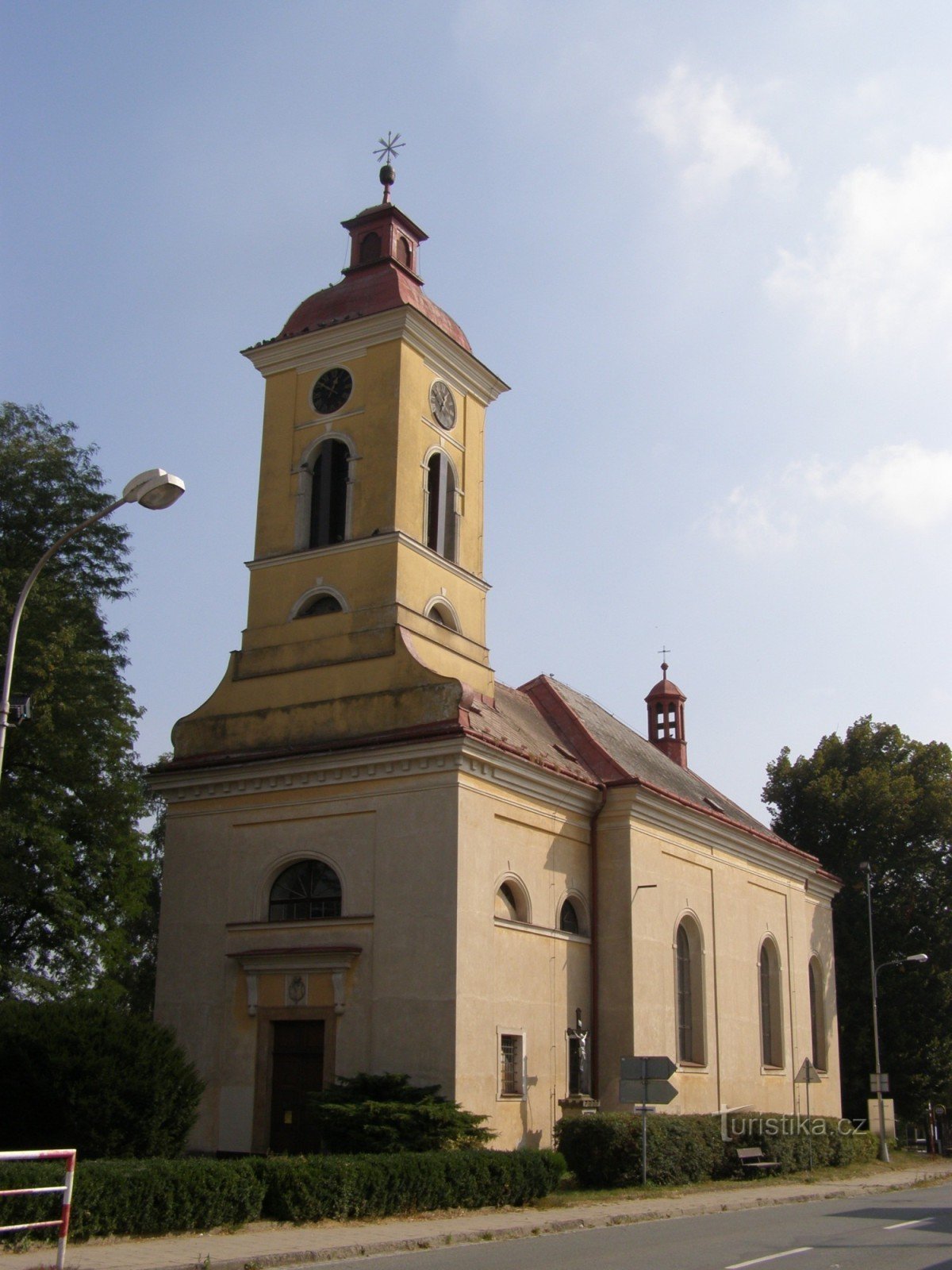
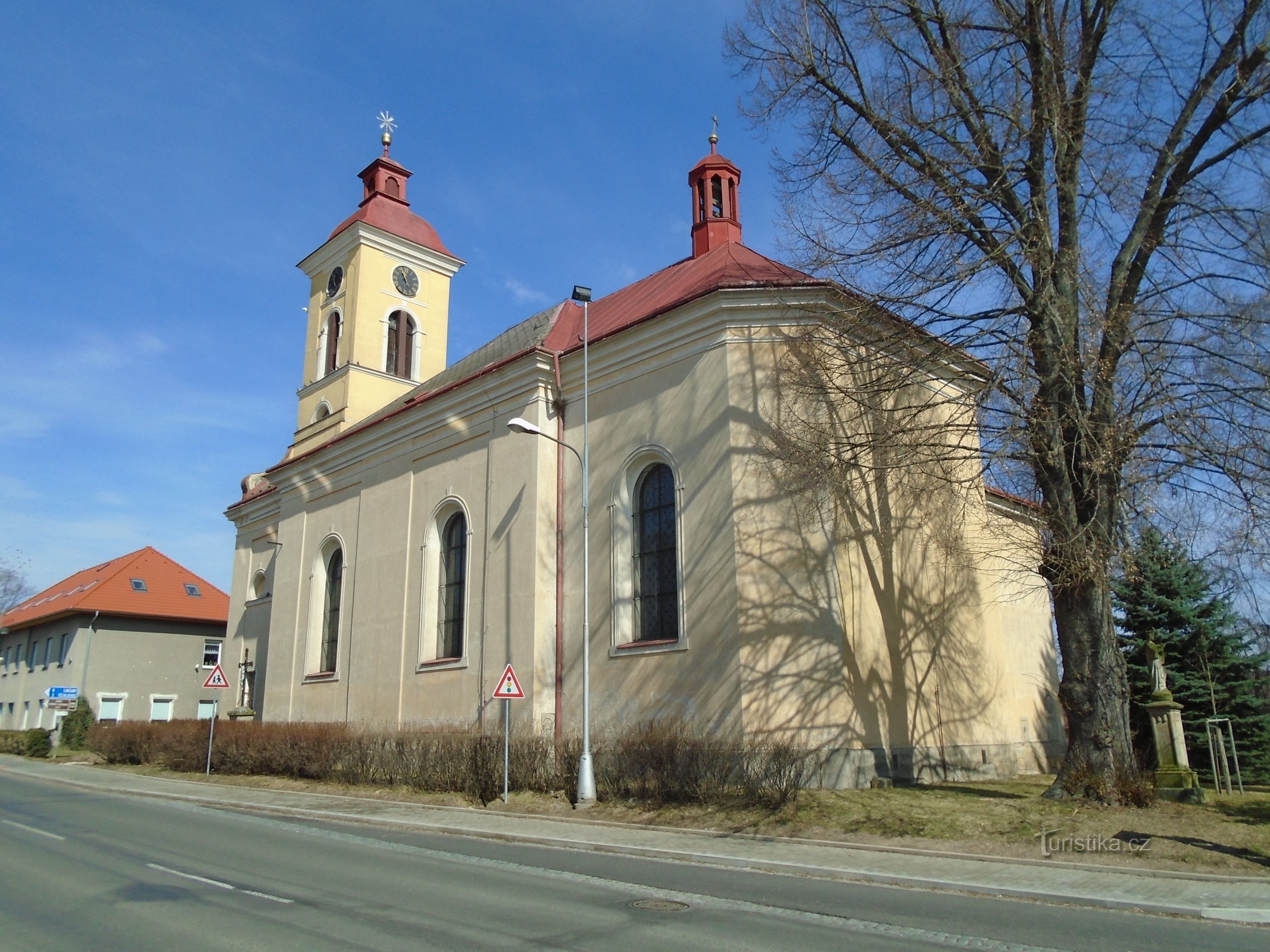
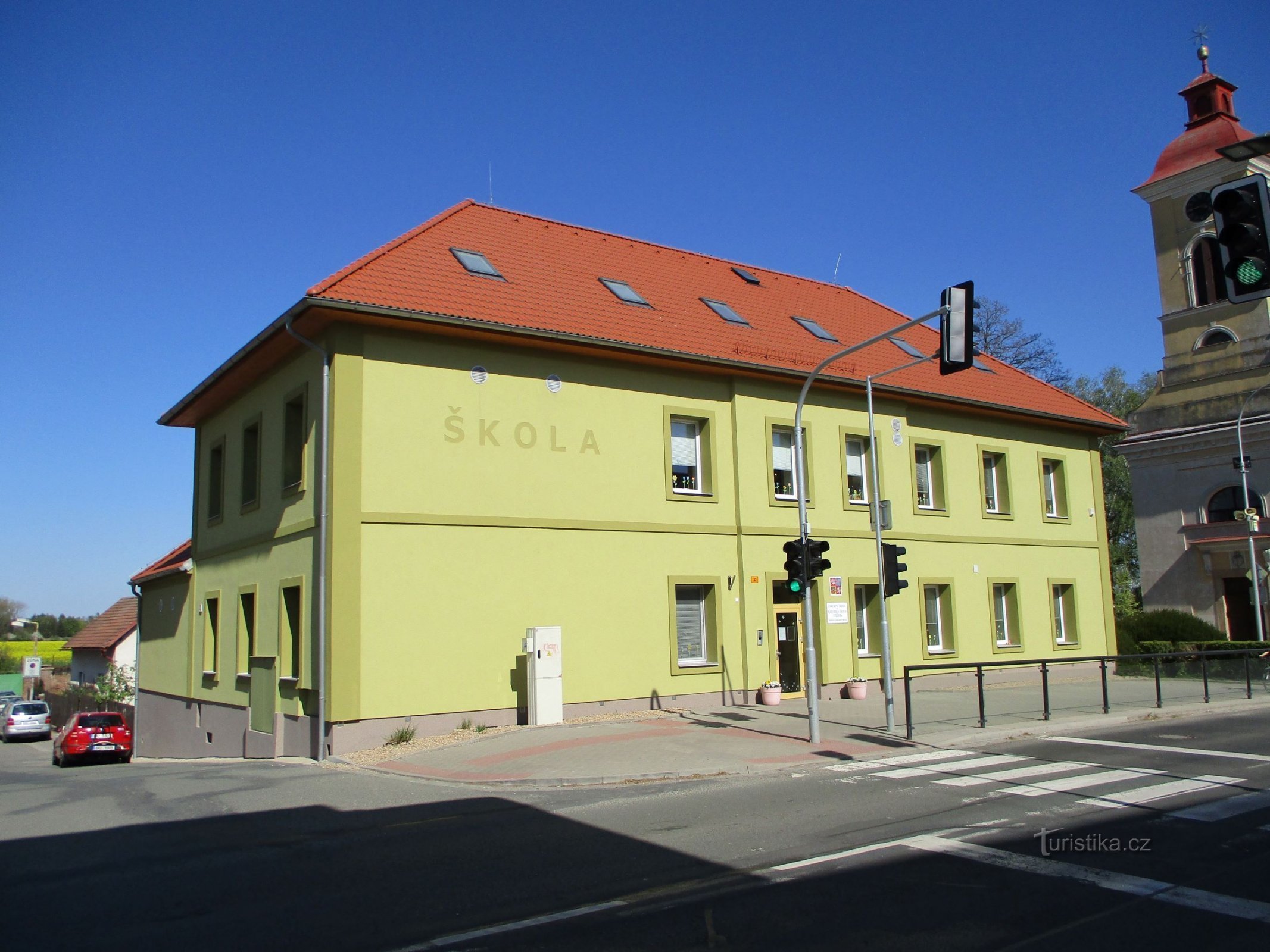
In 2011, the possibilities for Hrádek u Nechanice to reach Hrádek u Nechanice on foot or by bike were expanded for tourists from Hradec Králové Hradec Králové. The new yellow sign leads from Stěžer from the church (photo 1) through Stěžírky and Nový Přím to the parking lot at the castle. According to the GPS, this route is almost exactly 8 km long and, given the flat landscape around Hradec Králové, it is quite easy. A large part of the route is through the forest.…
Share this place with friends
To Hrádek u Nechanice from Stěžer along the new yellow road
Other places in the vicinity - Na Hrádek u Nechanice from Stěžer to the new yellow one
- Boharyna
- Brezhrad
- Birch
- The caper
- Chisteves
- Long Courts
- Finisher
- Lower Rec
- Homil
- Upper Dohalice
- Upper Rec
- Hradec Králové
- Castle
- Hřibsko
- Hubenice
- Tree plant
- Charbuzica
- Chlum
- Pin
- Mosquitoes
- Krasnice
- Pupae
- Bunnies
- Lhota under the Libyans
- Libyans
- Libyans
- Linden
- Nurse
- Love
- Malšova Lhota
- Malšovice
- Butter eaters
- Wetbeards
- Moravian Suburbs
- Sunday
- Nechanice
- Nový Hradec Králové
- New Direct
- Opatovice nad Labem
- Aspen
- Axes
- Chicken fillet
- Cakes
- A crybaby
- Platystě above the Elbe
- Podolšany
- Undertaker
- Policies
- Popovice
- Pouchov
- Cracker
- Prague Suburbs
- Probluse
- Předměřice above Elbe
- Puchlovice
- Radíkovice
- Radostov
- Tree frog
- Roudnice
- Mother of God
- Disbursement
- Russian
- Saddle
- Sendražice
- Little rock
- Silesian Suburbs
- Selfish
- Old Nechanice
- Heavy loads
- Complaints
- Stewardess
- It shines
- Free Courts
- Whey
- Techlovice
- Travnik
- You need
- Třešovice
- The pool
- Urbanism
- Old age
- Vlčkovice
- All old
- High above the Elbe
- Cabbage
- Žižkovec