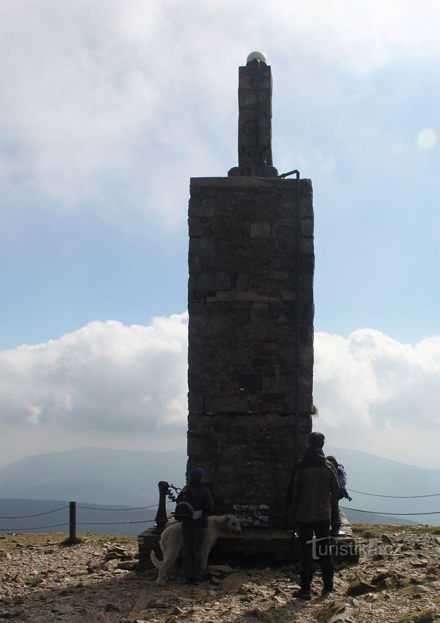
Map of the republic

Reviews

Based 0 assessment.
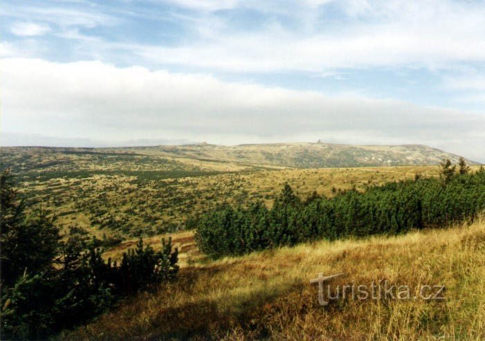
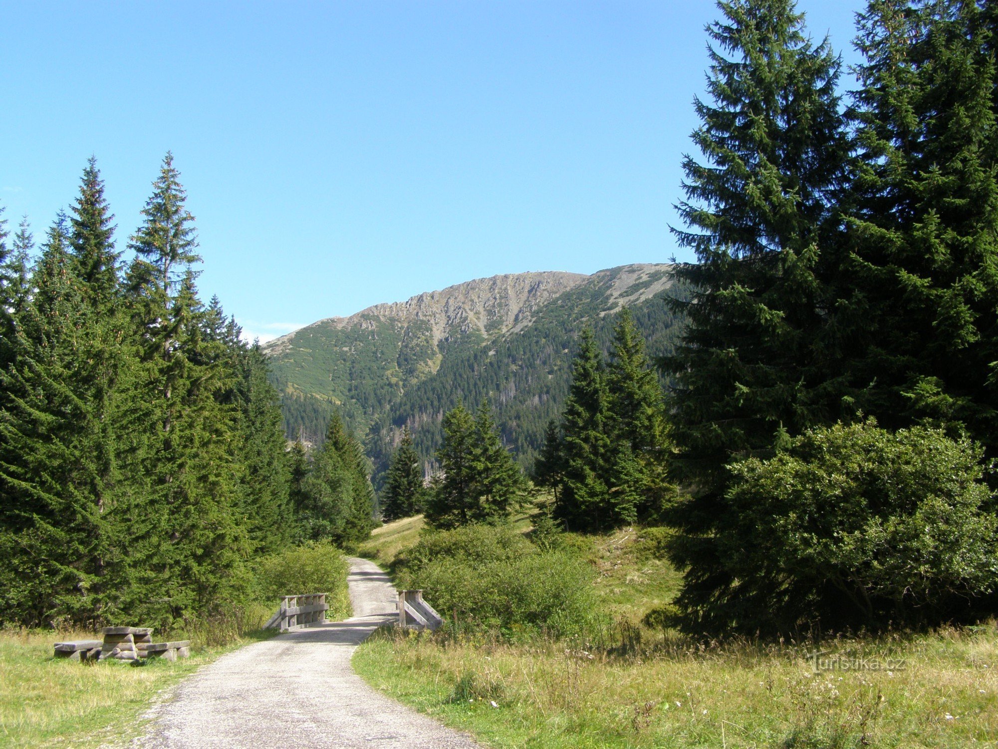
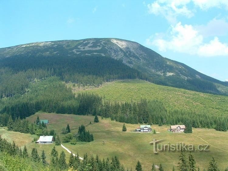
Map of the Republic, that is already the official name for the place, on the southwestern slope of Studniční hora, where the melting snow creates a snow field in the shape of the area of ​​the former federation. The height of the snow cover reaches up to 15 meters in extreme cases, the remains of snow are usually found here in July, August and, exceptionally, in September. The map of the republic can best be seen from the slopes above Peci pod Sněžkou and from the Černá Bouda hotel on…
Share this place with friends

Other places in the vicinity - Map of the Republic

stone building trigonometric point

Sněžek trigonometric point

View of Sněžka from the village of Miłków from the beginning of the 19th century

The second historically documented trip to Sněžka from 1569

A view of Sněžka from the Silesian side from the beginning of the 19th century

How many Venetian merchants crossed the Giant Mountains in 1456

Anežka post office

Czech Post Office Anežka

cemetery

Garbage graveyard

View from the Kotle hillside

Elbe meadow

tourist crossroads near Kaplička

tourist crossroads near Kaplička

Memorial to the victims of the mountains - Krkonoše

Memorial to the victims of the mountains - Krkonoše

Stundinční hora

Stundinční hora

Renner's cross

Renner's cross