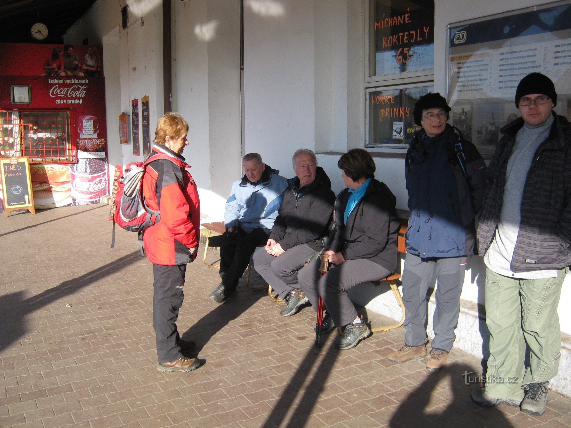
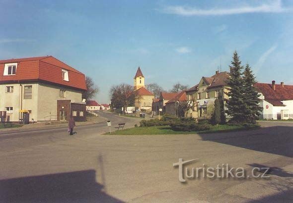
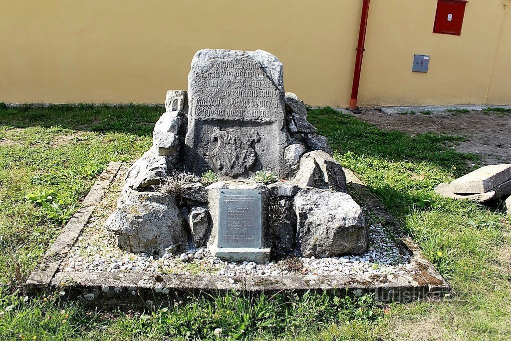
Katovická hora above the river Otava.


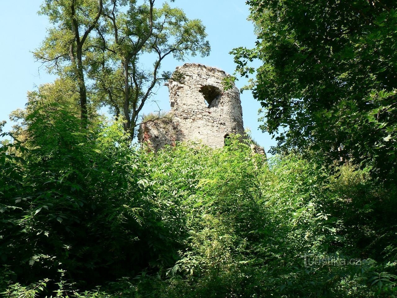
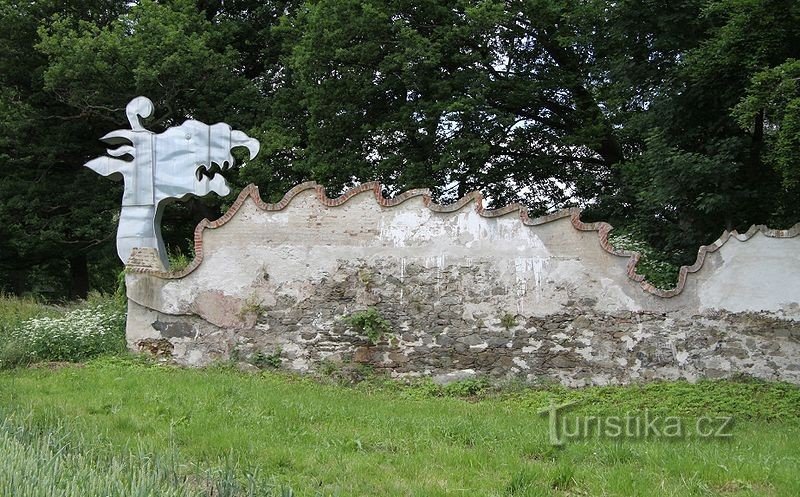
This distinctive mountain on the left bank of the Otava River is located on the southern edge of the Horažďovická Pahorkatina, less than two kilometers northwest of the town of Katowice. Its elongated, approximately 500-meter-long ridge is 493 meters above sea level at its highest point. In the 9th century, a vast Slavic fortress stood here, which lost its importance over the course of the next century and even disappeared. It is likely that the reason for his end was the fire…
Share this place with friends
Katovická hora above the river Otava.
Other places in the vicinity - Katovická hora above the river Otava.
- Babin
- Boubín
- Bratronics
- Cernikov
- Ladies
- Lower Poříčí
- Housewife
- Doubravice
- Drachkov
- Dražejov
- Companion
- Frymburk near Sušice
- Stupid
- Hodejov
- Horaždovice
- Upper Poříčí
- Hubenov
- Chrášťovice
- Jetišov
- Ridges
- Pocket Lhota
- Karlovce
- Katovice
- Katowice
- Kejnice
- Cladruby
- Klínovice
- Komusin
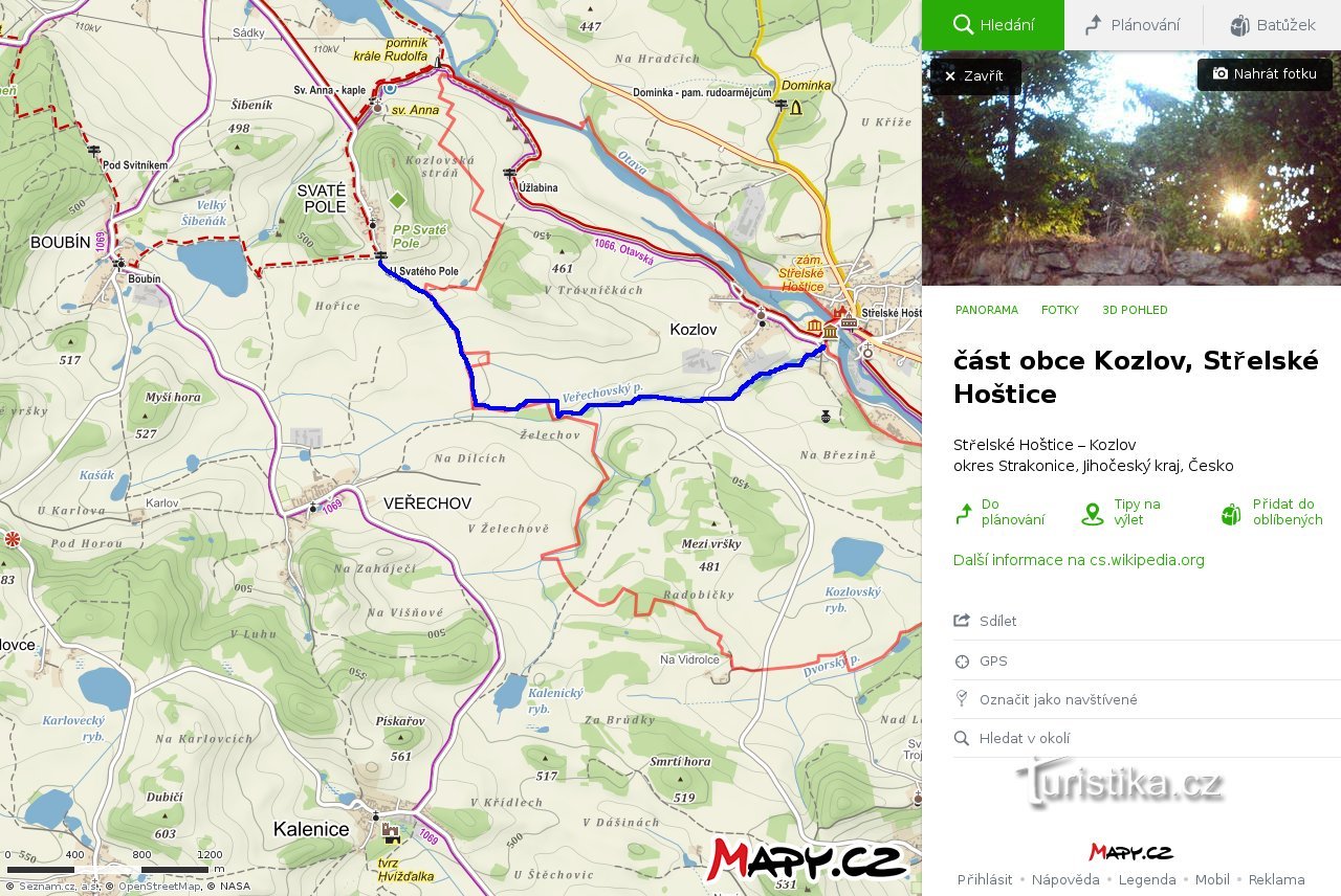
- Kozlov
- Kraselov
- Krejnice
- Krty-Hradec
- Leskovice
- Lhota at St. Anne's
- Libětice near Strakonice
- Makarov
- Mechichov
- Sweetie
- Young lady
- Munich
- Motherfucker
- Nahoshin
- German woman
- New saddles
- Fence
- He will go down
- Worker
- Front Ptákovice
- Front Zborovice
- Radkovice
- Radomyšl
- Radošovice
- Canola
- Seat
- Smiradice
- Neighbors
- Strakonice
- Strunkovice nad Volyňka
- Missile
- Strelské Hoštice
- Strelskohoštická Lhota
- Churchyard
- Skrobochov
- Skudra
- Štěchovice
- Svejcarova Lhota
- Tažovice
- Tažovická Lhota
- The Holy of Holies
- Lie down
- Leakage
- Verechov
- Respected
- Female soldier
- Volenice
- Back Zborovice
- Bitters
- Bellows