Count's table


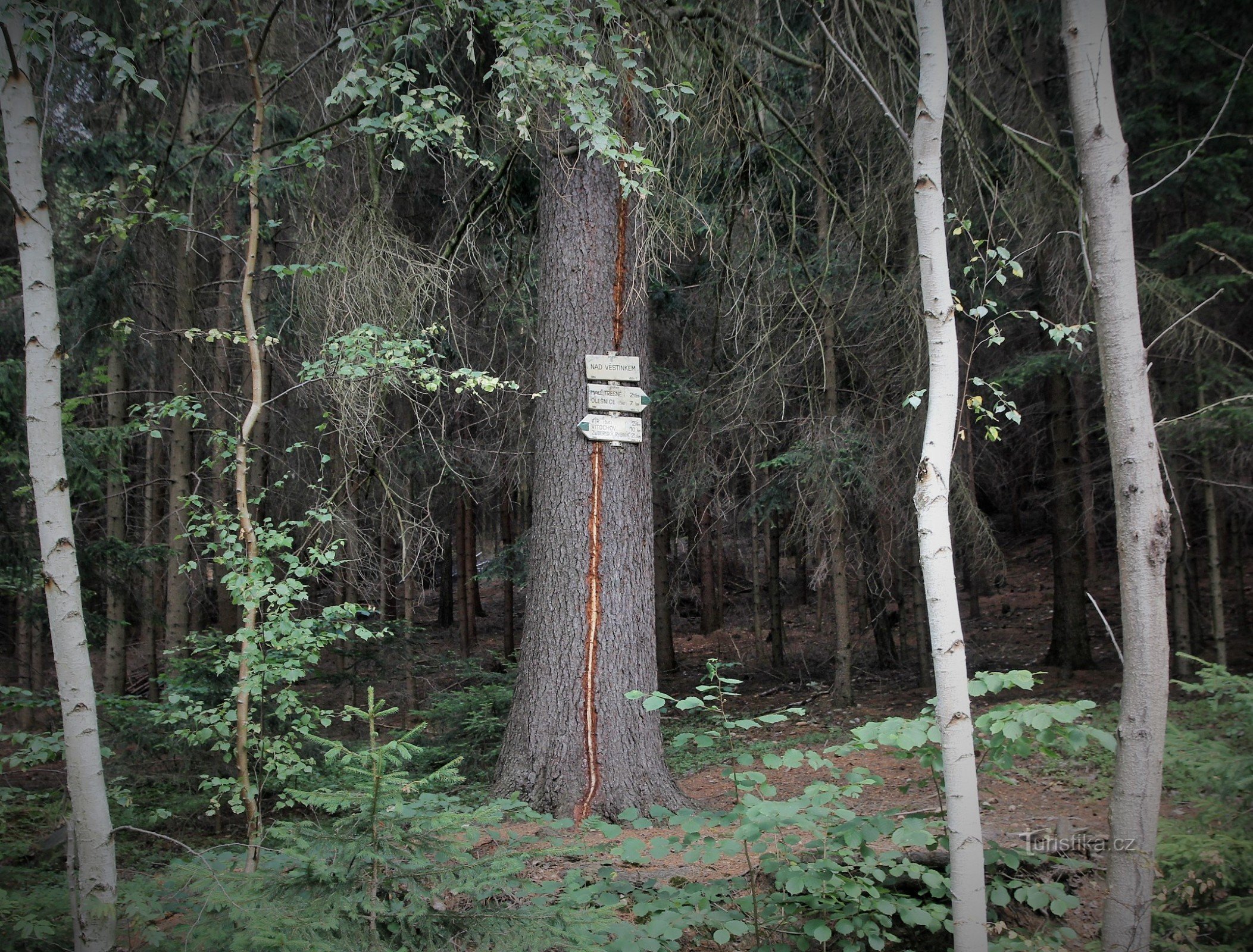
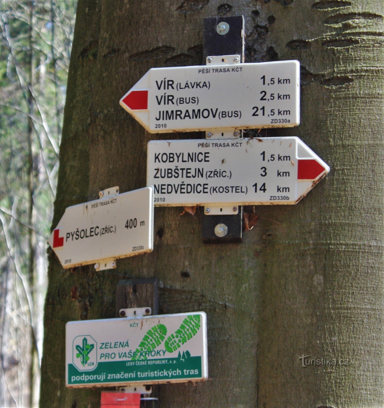
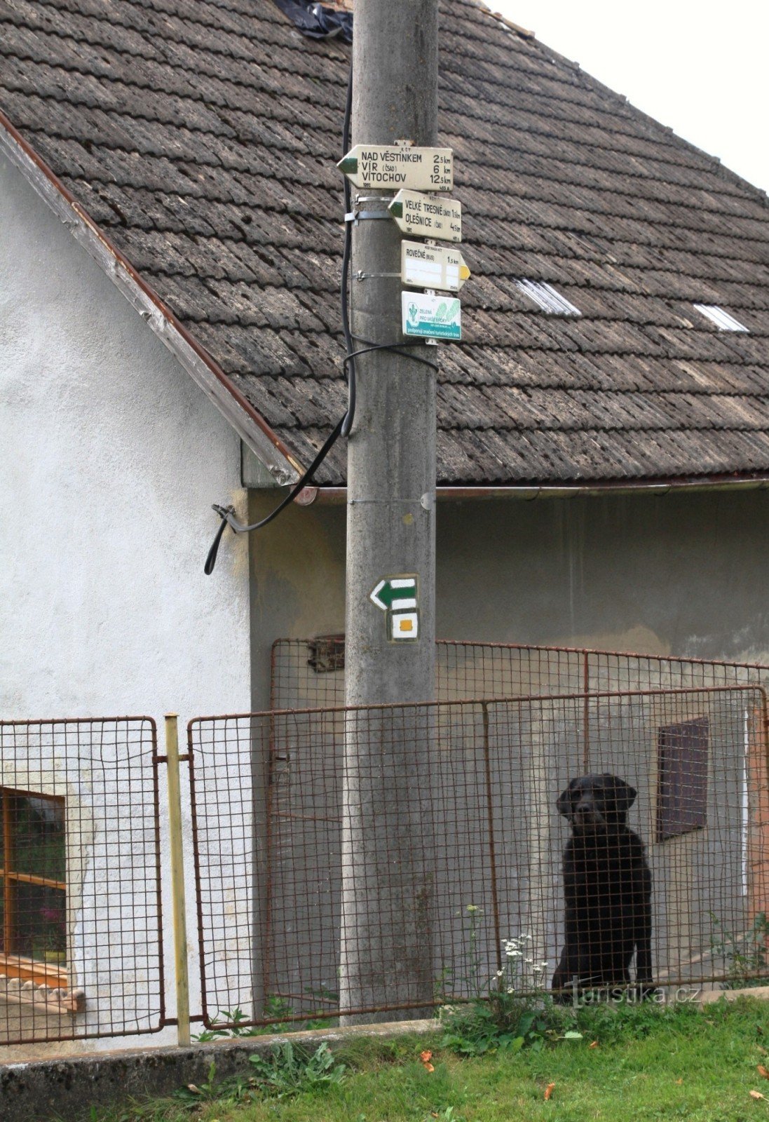
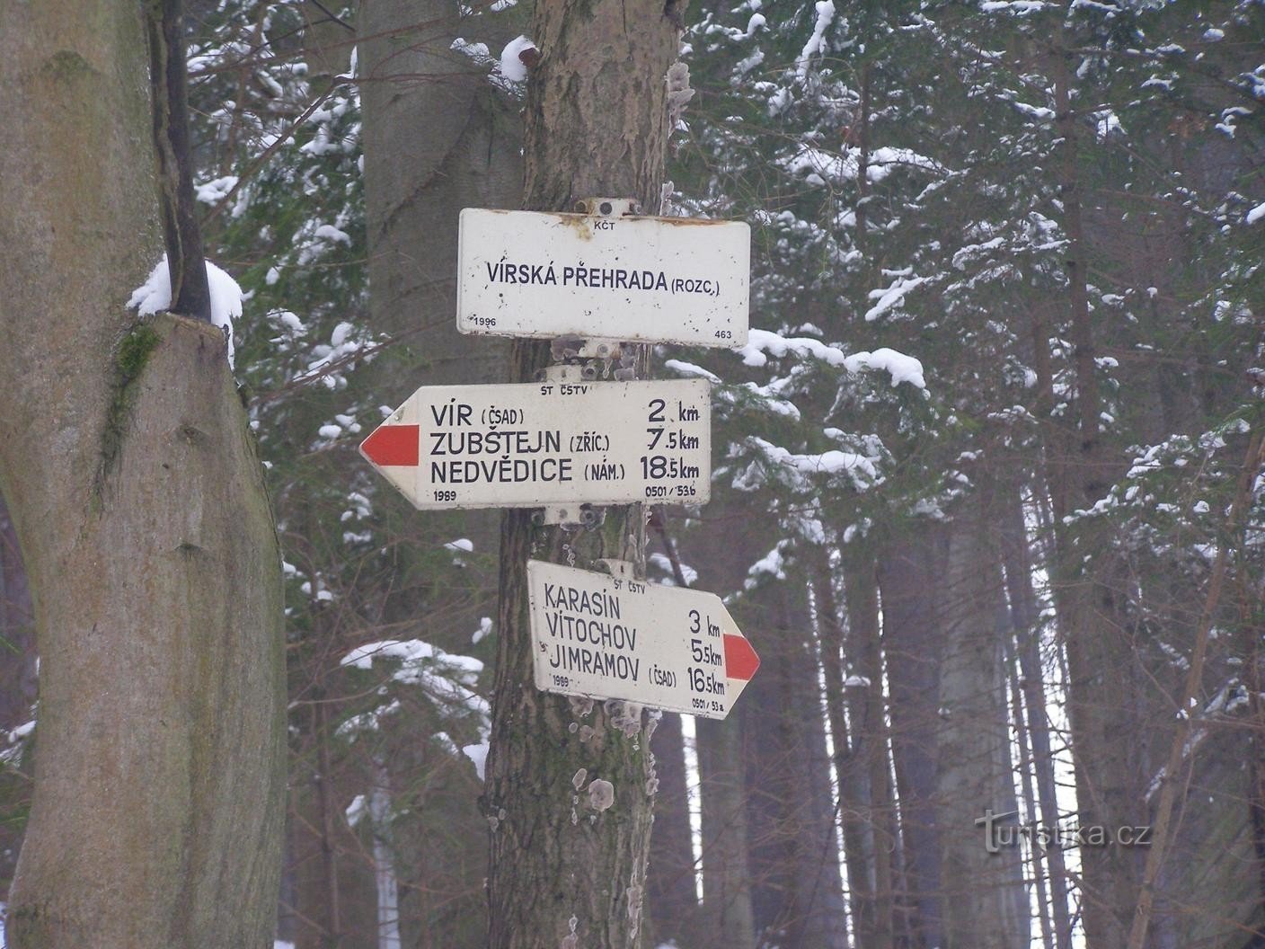
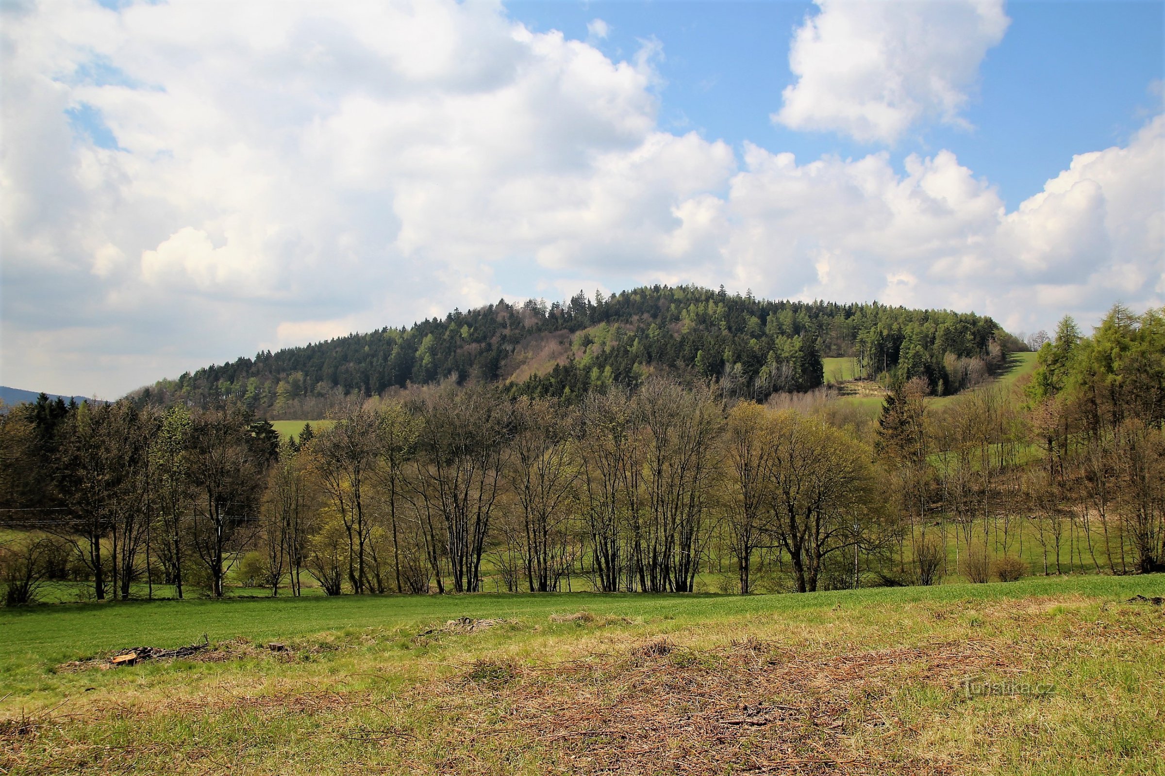
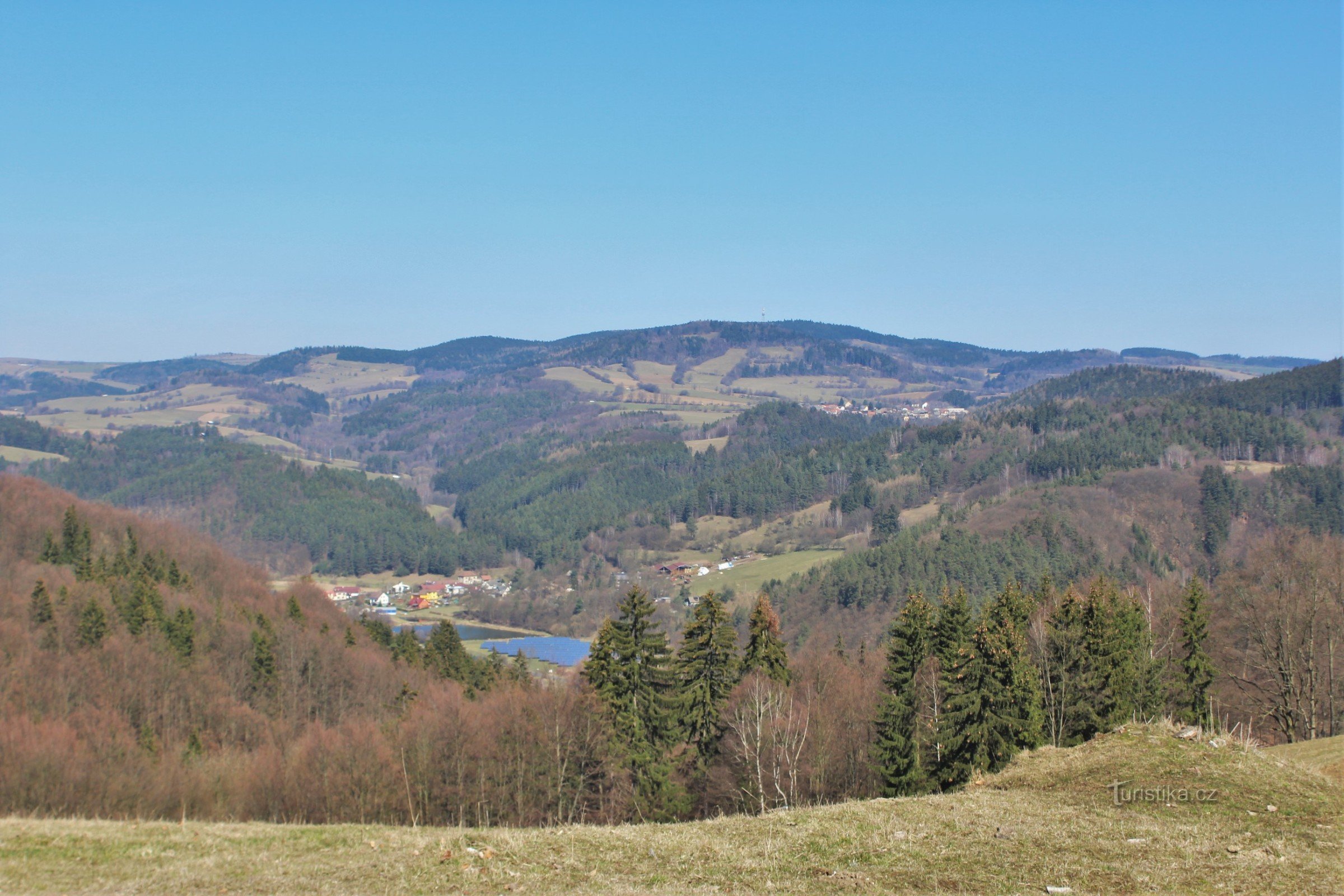
This is a lookout point above the Svratka River located in the upper part of the rocky meander below the Vír II dam reservoir, about 1,5 km southeast of the village of Vír. From the lookout, which is located on a rocky plateau, there is a broad view of the mighty meander of the Svratka River, which cuts through the tunnel transferring water from the reservoir to the power plant below. On the right is the dam of the lower reservoir of the Vírská dam and...
Share this place with friends
Count's table
Other places in the vicinity - Earl's table
- Painful
- cousin
- They're nagging
- Smart
- Bystřice above Pernštejn
- Býšovec
- Crhov
- Chernovice
- Four Courts
- Dalecin
- Lower Čepi
- Lower Lhota
- Domanian
- Domanian
- Yard
- Hartmanice
- Message board
- Deep
- Hodonín near Kunštát
- Upper Čepi
- Smelters
- Bread
- Chlum
- Chlum-Korouhvice
- Janovičky
- Job's Lhota
- Josefov
- Karasín
- Principality
- Grasshopper
- Weather vanes
- Circular
- Kovářová
- Kozlov
- Křtěnov
- Lesonovice
- Lhota near Olešnica
- Hazelnut
- Louka
- Little Tresné
- They don't drive
- Nyklovice
- Olešnice
- Pernštejnské Janovice
- Sandy
- Peony
- In half
- Prosetin
- Outskirts
- Rodkov
- The same age
- The intersection above Kunštát
- Rosemary
- Studenec
- Sulkovec
- Svojanov at Polička
- Štěpánov nad Svratkou
- Welder
- Tasovice
- I'm suffering
- Ubusin
- Ubusinek
- Uncle
- Uncin
- Retreat
- Vechnov
- Velké Janovice
- Great Tresne
- Festivity
- Veselka
- Vestin
- The vestry
- Vortex
- Vítochov
- Whirlwinder
- Zlatkov
- Beggar