Horní Buková


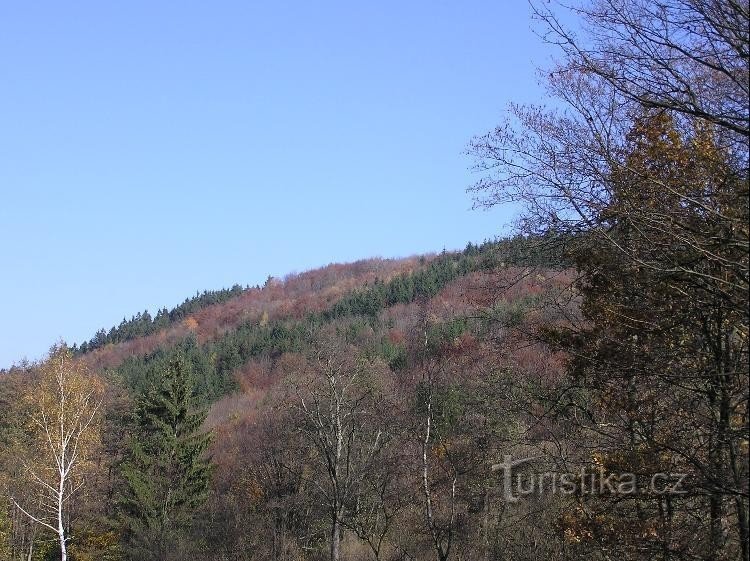
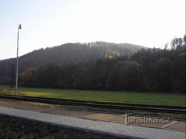
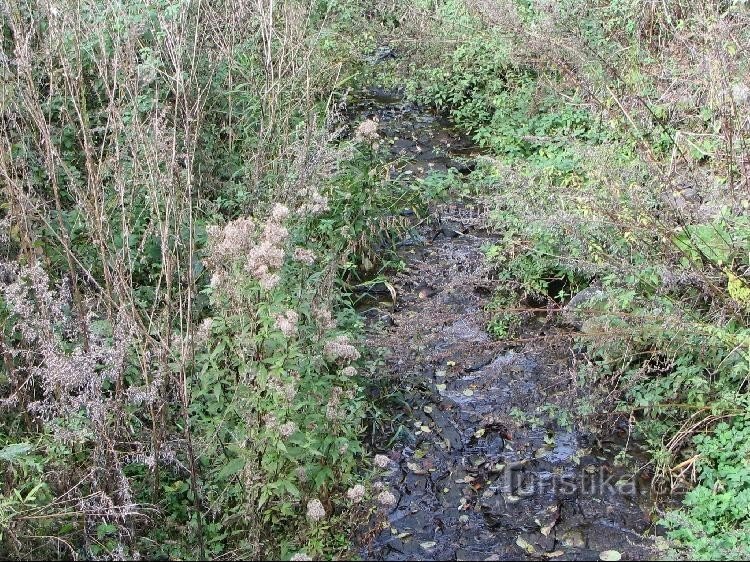
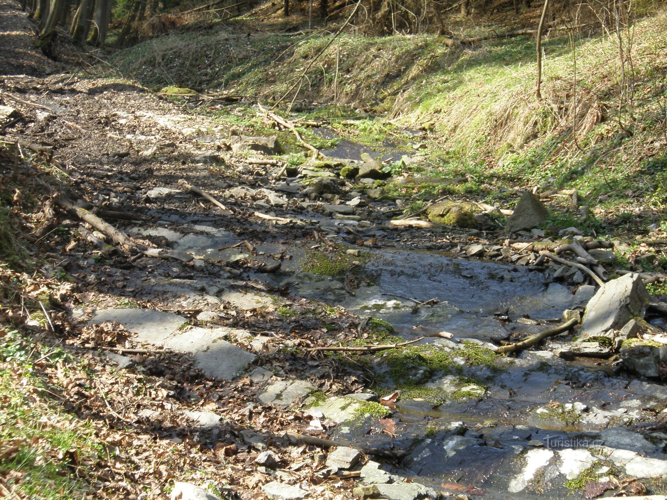
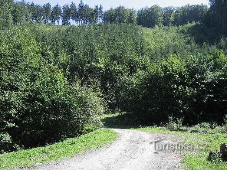
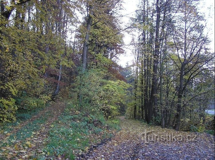
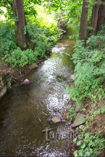
The Horní Buková peak (542 meters above sea level) rises in the area of the Oderské vrchy nature park, north of the village of Dobešov. Forest cover spreads on the slopes of the peak. A downhill track with a ski lift has been built on the northern slope. The Dobešovský stream flows around the western foot of Horní Bukova. A yellow-marked hiking trail leads along the eastern and northern slopes of the peak from the village of Dobešov to the village of...
Share this place with friends
Horní Buková
Other places in the vicinity - Horní Buková
- Dobešov
- Lower Kuncice
- Emmaus
- Fuller
- Heltinov
- Chamomile near the Oder
- Chamomile
- Hynčice
- Jakubčovice nad Odrou
- Jerlochovice
- A hawk
- Jindrichov
- Stone
- Cursed
- Klokočov
- Clockwork
- Kovarov
- Kyzlířov
- Sticky
- Meadows
- Luboměř
- Luboměř pod Strážná
- Mankovice
- Nejdek
- New Vrbno
- Odra
- Partutovice
- Mountain range
- Burning
- Watch over Ludina
- Tošovice
- Festivity
- Village
- Welcome card
- She-wolf
- Murderous