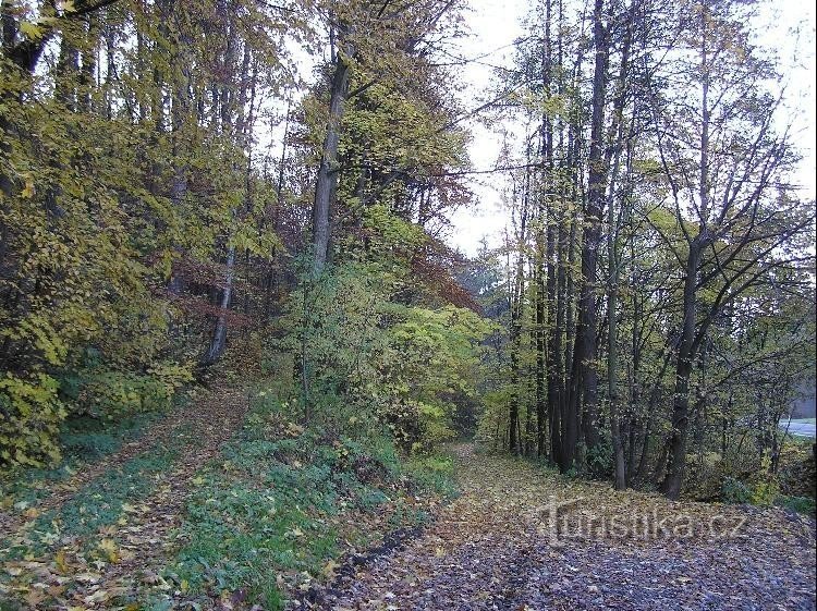
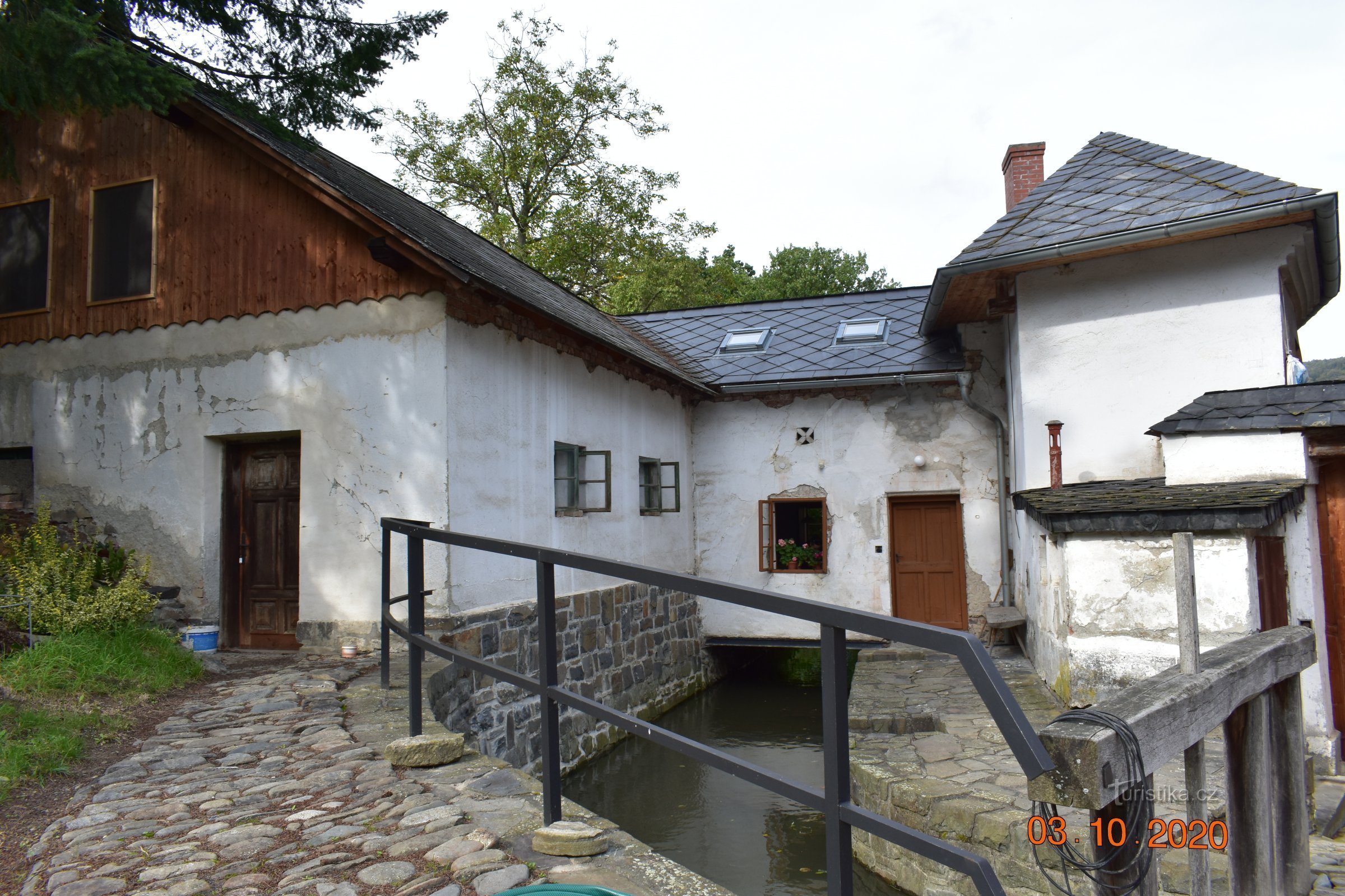
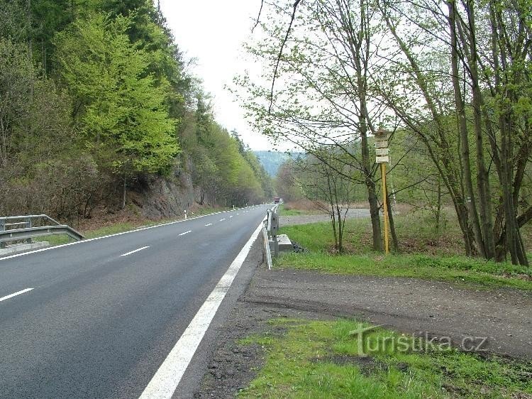
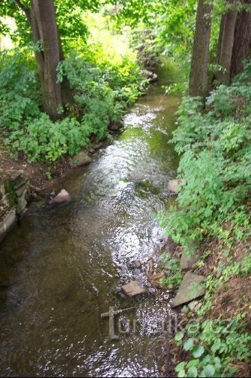
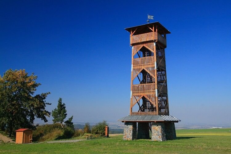
Dobešovský stream


Dobešovský potok is an orientation point and crossroads on the yellow tourist sign. This crossroads can be found in the north direction from the village of Dobešov and in the course of the Dobešovské stream. Horní Buková peak (542 masl) rises above the crossroads in the southeast direction and Suchá peak (578 masl) in the west. On the northern side of the Suchá peak is the area of the Suchá Dora nature reserve. In the northern direction, the yellow sign leads to the village...
Share this place with friends
Dobešovský stream
Other places in the vicinity - Dobešovský potok
- Dobešov
- Lower Kuncice
- Emmaus
- Fuller
- Heltinov
- Chamomile near the Oder
- Chamomile
- Hynčice
- Jakubčovice nad Odrou
- Jerlochovice
- A hawk
- Jindrichov
- Stone
- Cursed
- Klokočov
- Clockwork
- Kovarov
- Kyzlířov
- Sticky
- Meadows
- Luboměř
- Luboměř pod Strážná
- Mankovice
- Nejdek
- New Vrbno
- Odra
- Partutovice
- Mountain range
- Burning
- Watch over Ludina
- Tošovice
- Festivity
- Village
- Welcome card
- She-wolf
- Murderous
- Hills