Burner
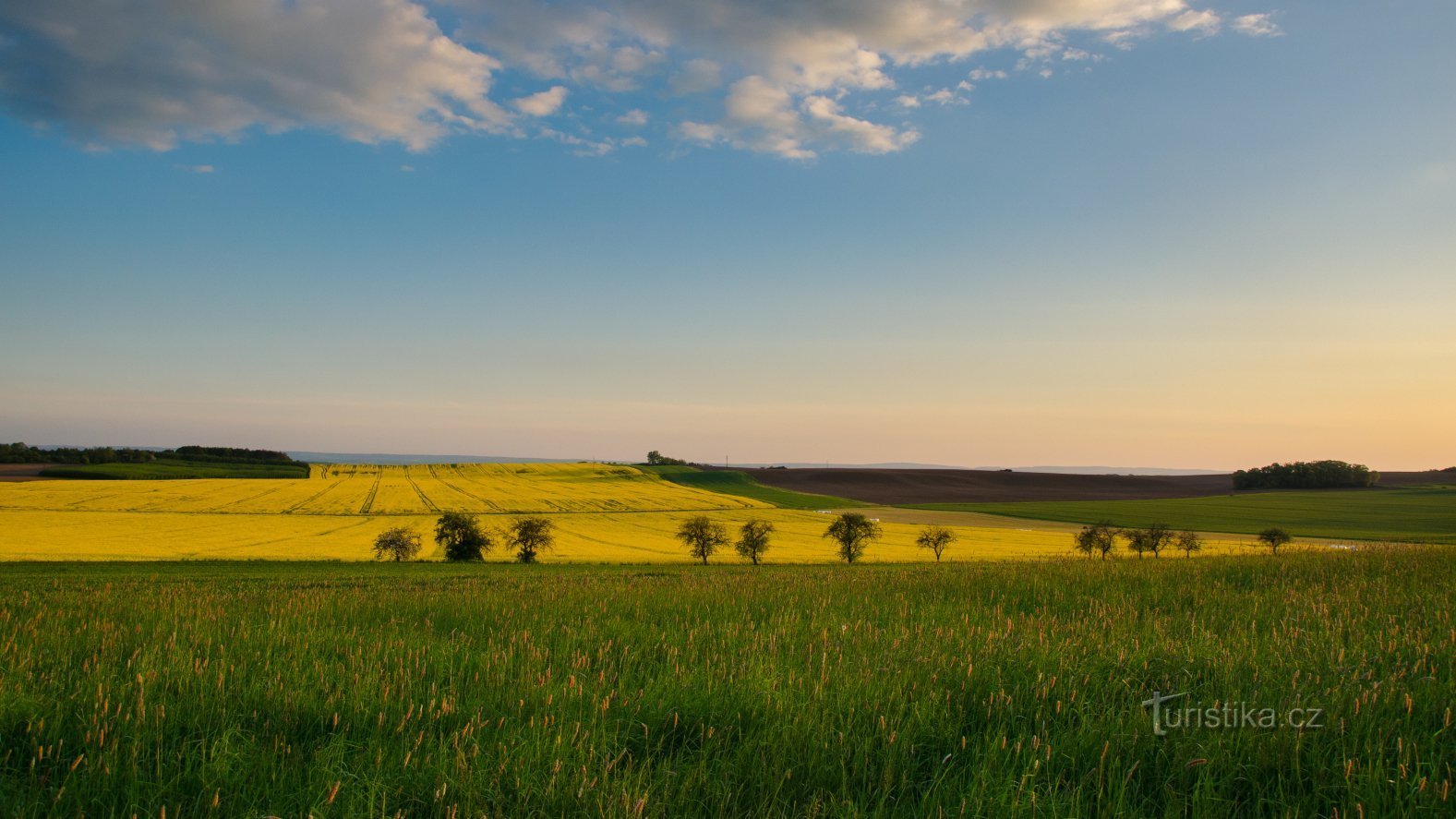
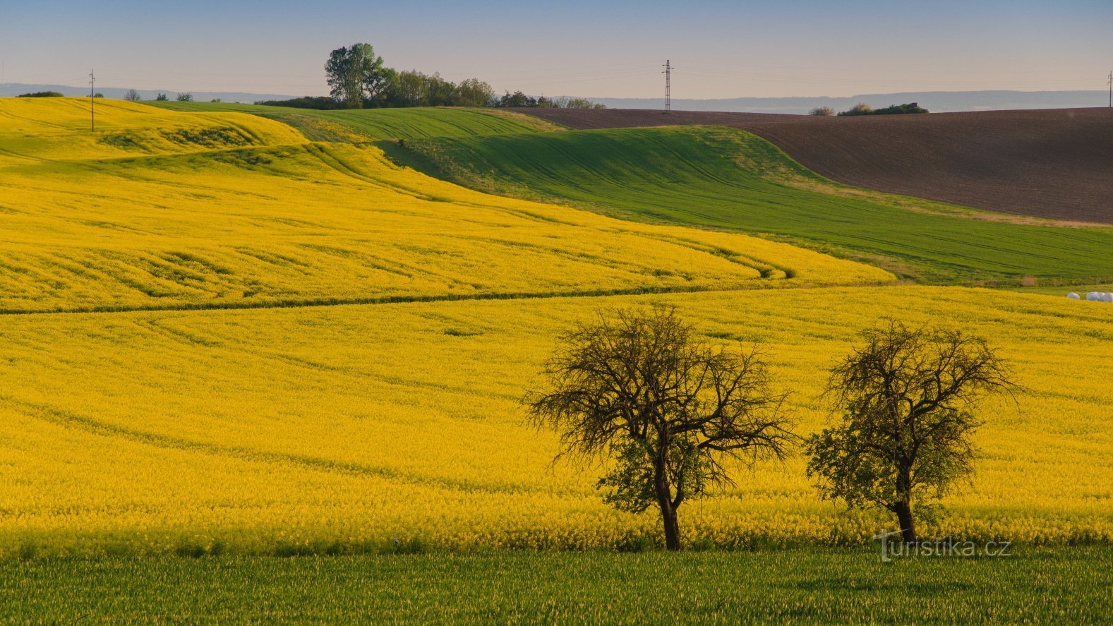
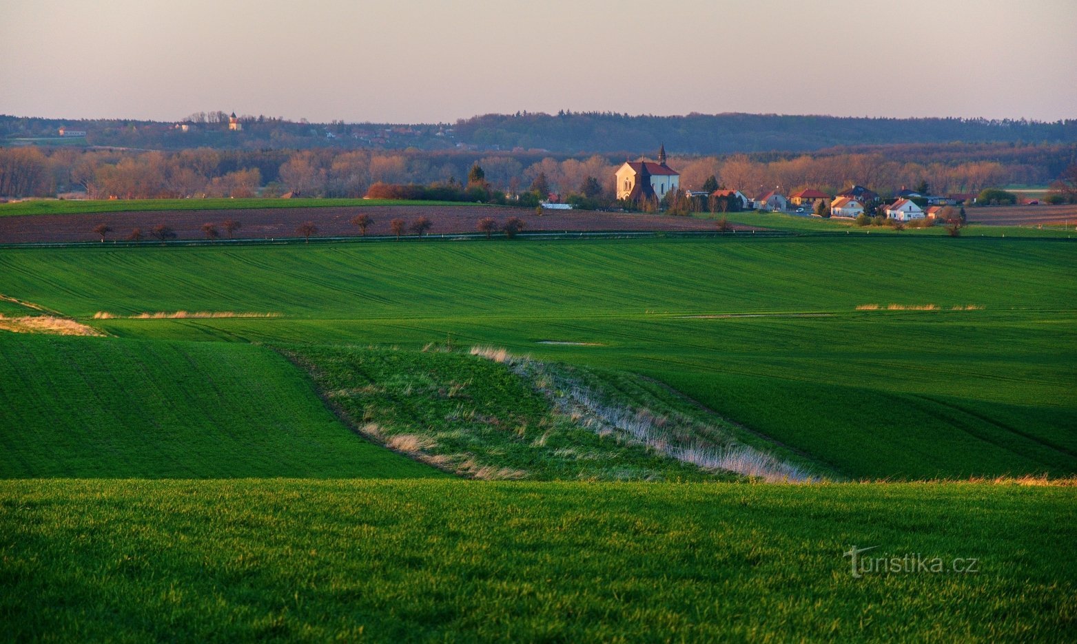
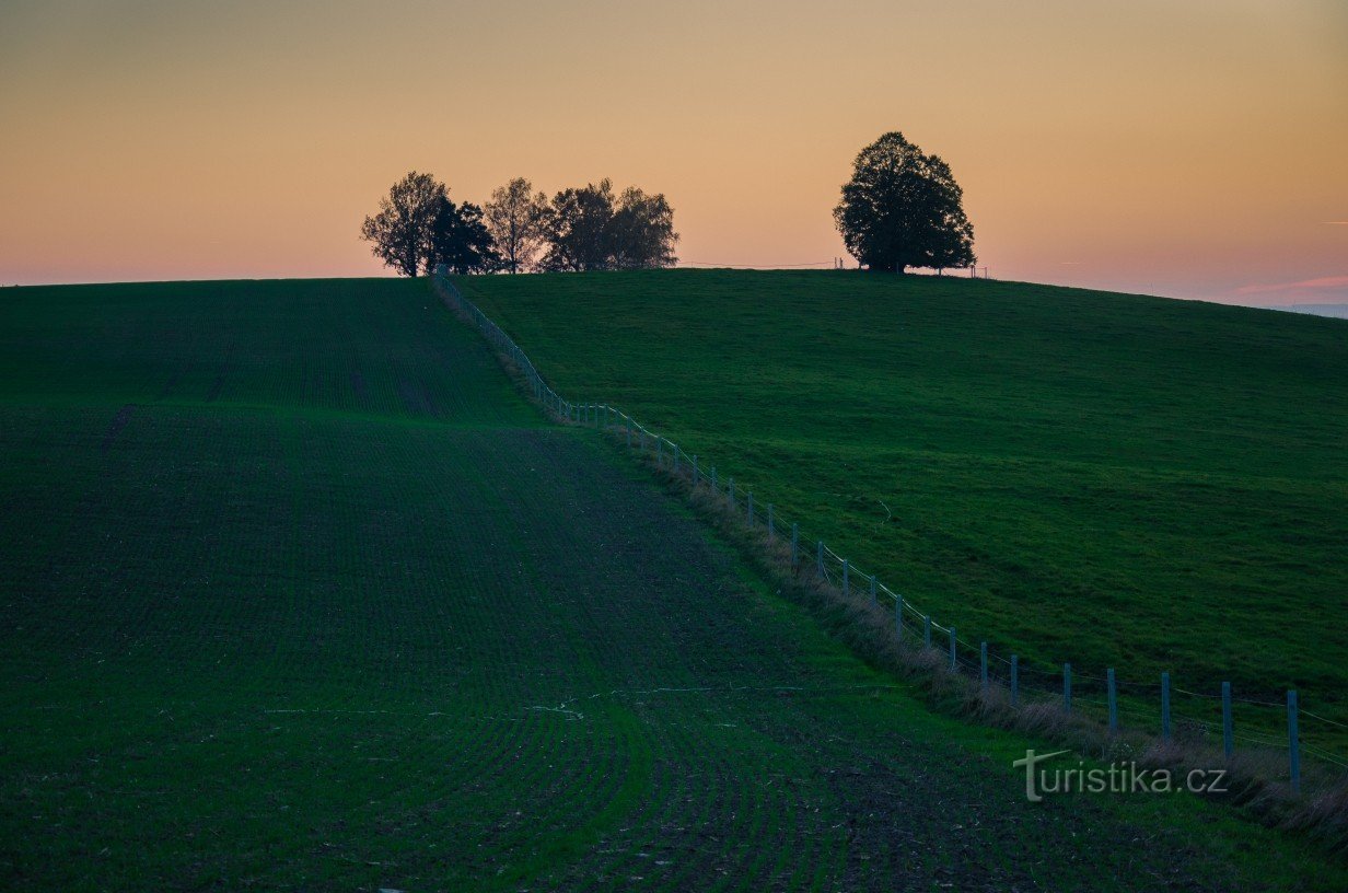
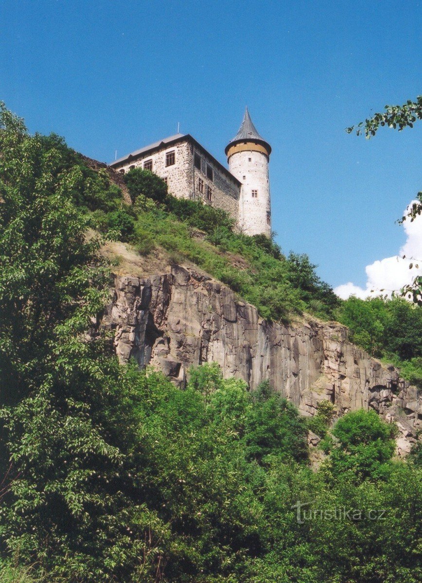
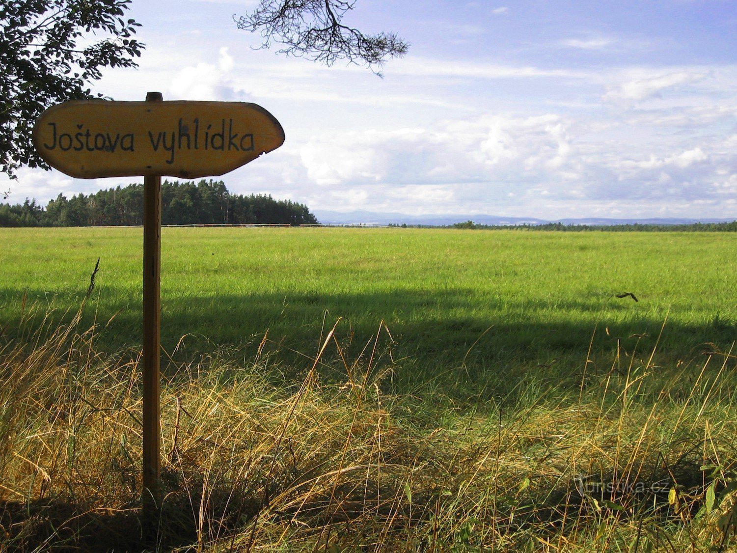
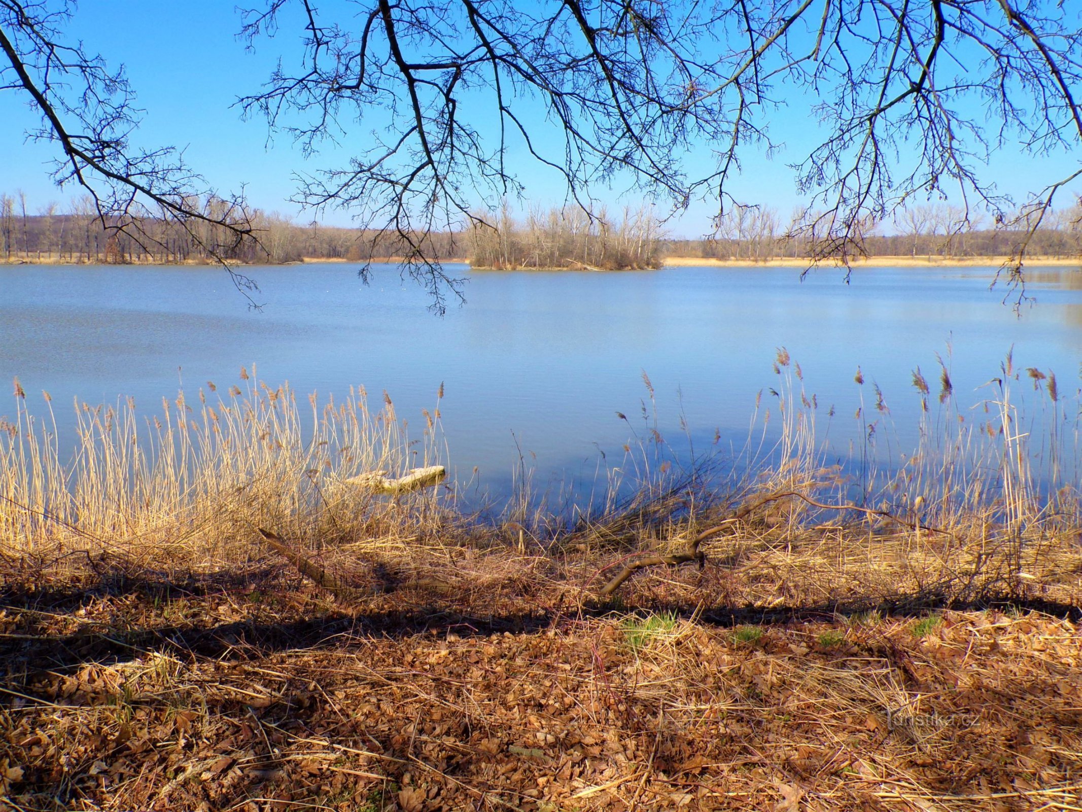
South of Horní Ředice in Holick (Pardubice district) there is a flat ridge called Hořánka, which is part of the Holická tabula, a flat hilly area characterized structurally by denudation plateaus and flat ridges, which creates a picturesque undulating landscape on the border of the Pardubice basin and the Orlická tabula, which It ends the Holic board as a distinct forested grade. From the point of view of nature conservation, Hořánka is…
Share this place with friends
Burner
Other places in the vicinity - Hořánka
- Belesovice
- White Suburbs
- God bless you
- Borek
- Juniper
- Brozans
- Beast
- times
- Queries
- Black for Bory
- Dašice
- Lower Rovno
- Lower Redice
- dear
- Dražkov
- Thrush
- Dritter
- Dvakačovice
- Hodeshovice
- Hello
- Upper Rovno
- Upper Redice
- Hostess
- Playing field
- Want to
- An infant
- Alum
- Beam
- Mosquitoes
- Bones
- Koudelka
- Kunetica
- Lany near Dašice
- July
- Calves
- Onion shop
- Malolanska
- Mnetice
- Moravian
- Moravians
- German woman
- New Holešovice
- Sharpening
- Pardubice girls
- Plates
- Payroll
- Pobežovice near Holice
- They caught it
- Under the Oak
- Underpass
- Underwood
- Dustbin
- Rabies
- Rokytno
- Rivne
- Potatoes
- A blind woman
- He connected
- Old Holice
- Old Montenegro
- Spring
- Turov
- Hungary
- Eels
- Hungarian Lhota
- Újezt near Sezemic
- Control room
- Great Rolling Stones
- Great College
- Village
- High near Holice
- Vysoké Chvojno
- Pledge
- Mentionable
- Žižín

