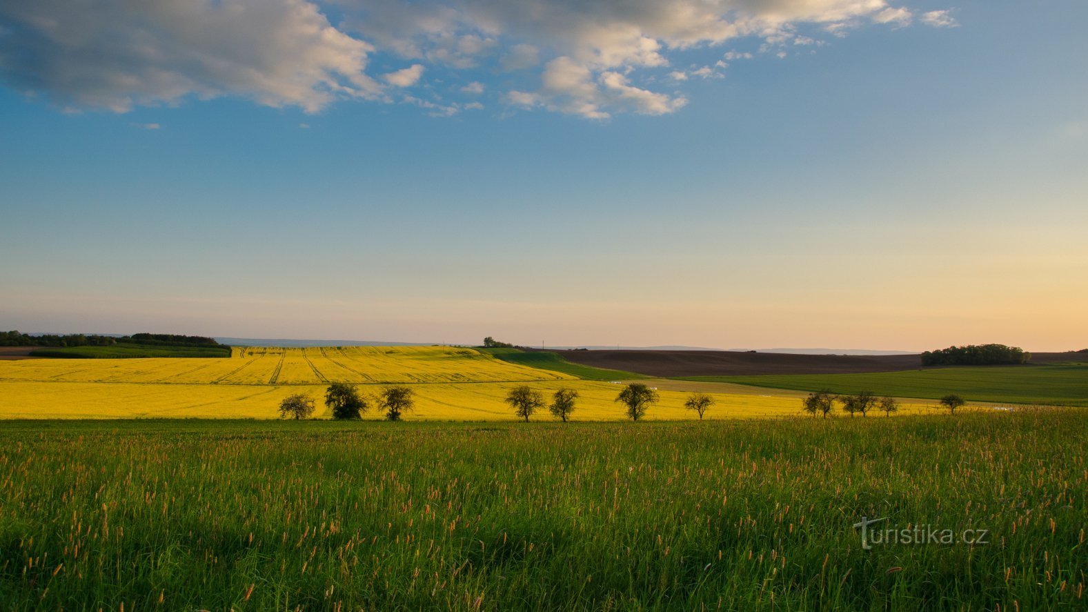
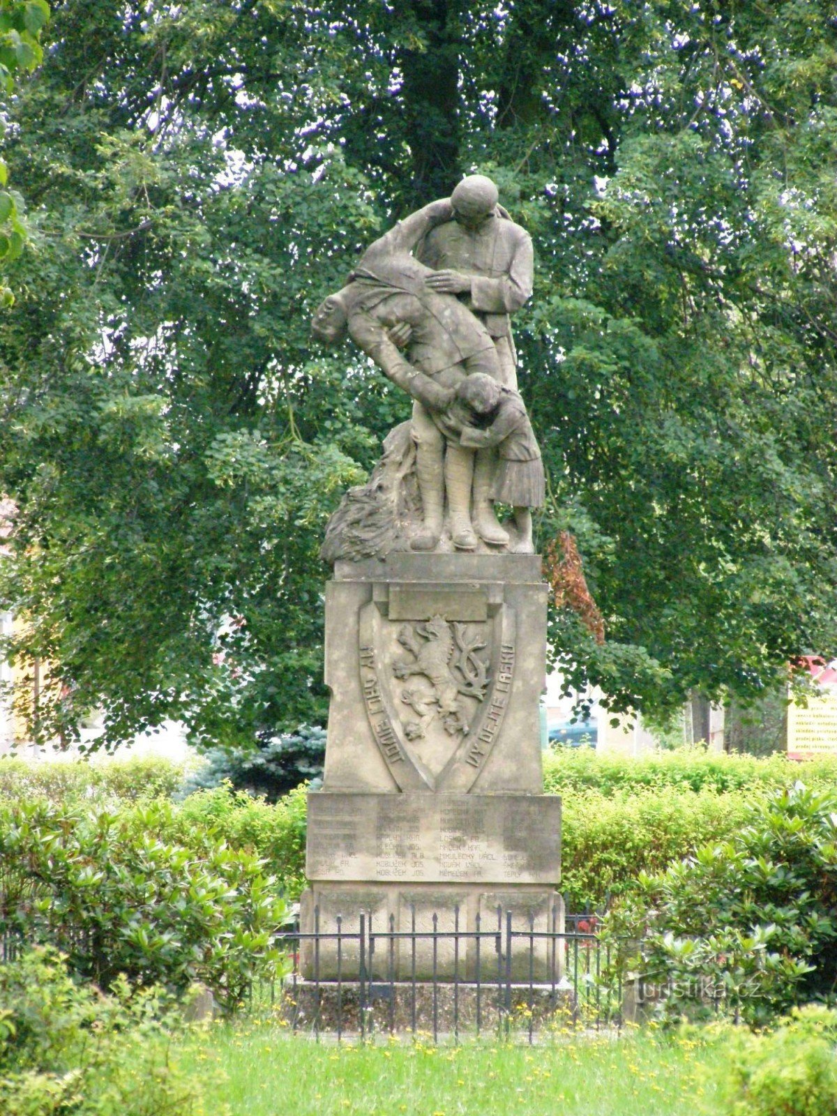
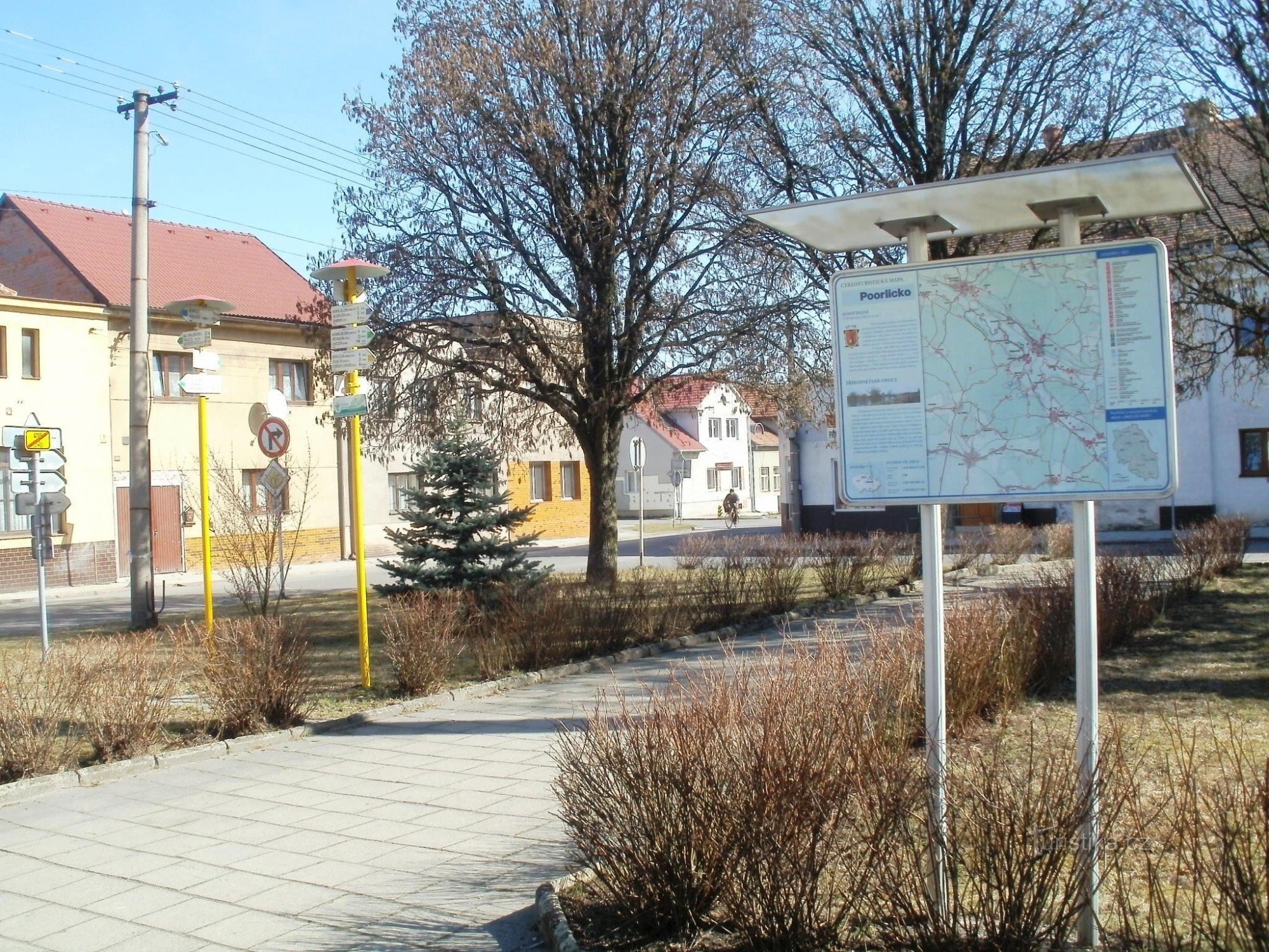
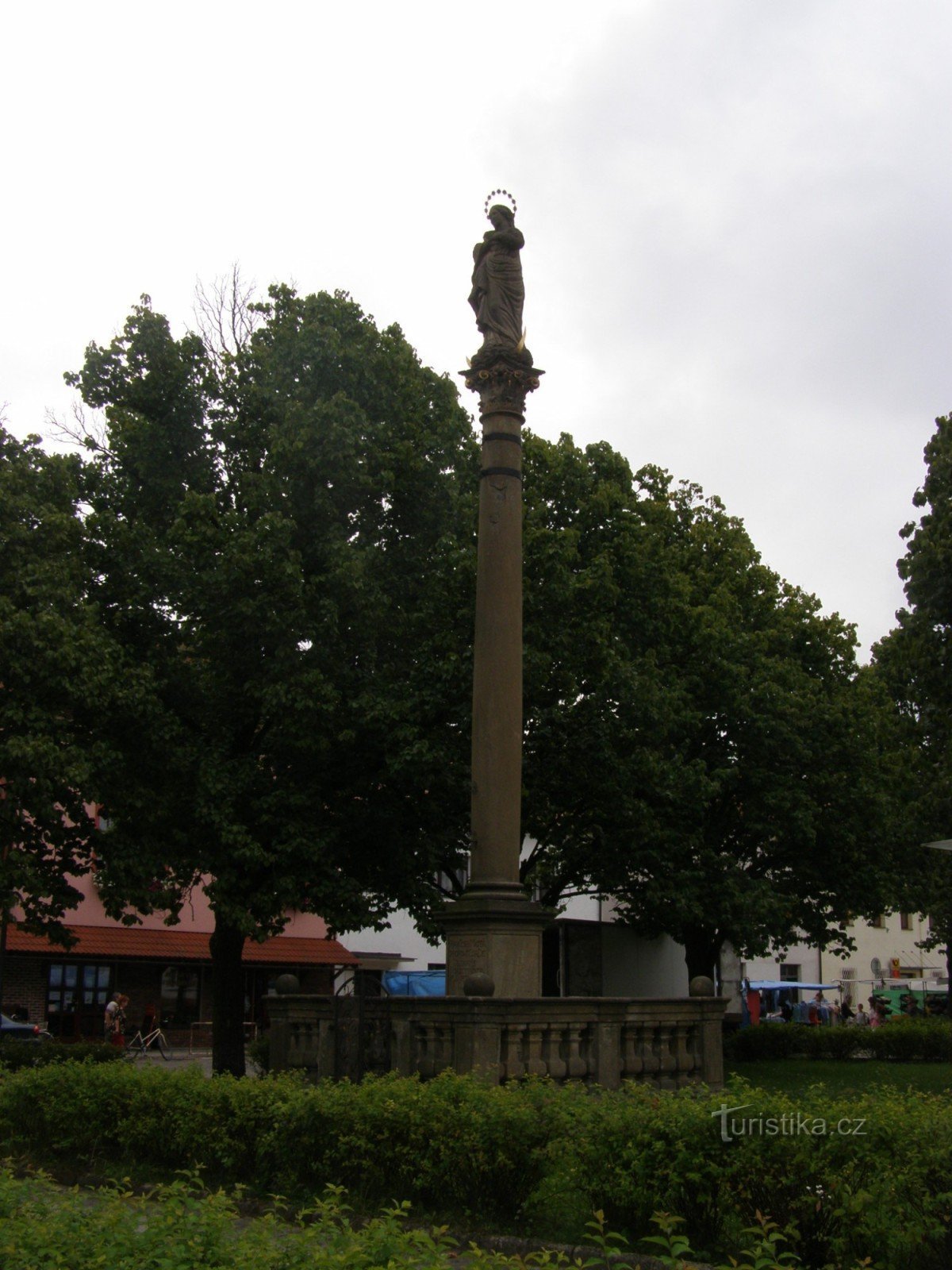
Chmelnice (283 m above sea level) near Ostřetín


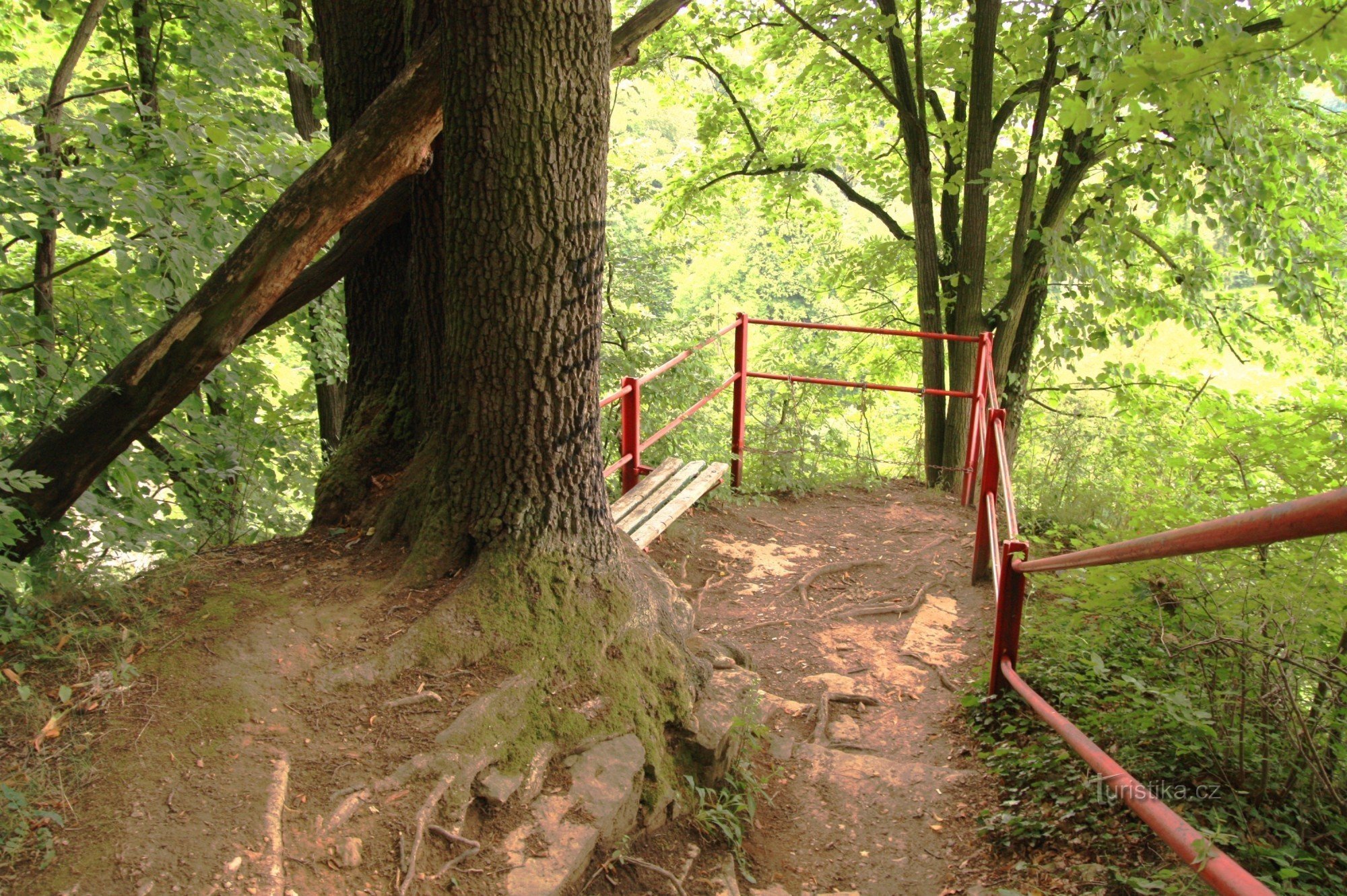
The geomorphological district Holická tabule is a flat hilly area, characterized only by a weakly divided erosion-denudation relief. The highest peak is Sychrovka (289 m above sea level), which is located on the southeastern spur of Holická tabula. In the maps, this hill can also be found under the name Sychrova. However, the peak of Sychrovka (289 m above sea level) is forested and there are no roads leading here. But that doesn't matter, because the neighboring…
Share this place with friends
Chmelnice (283 m above sea level) near Ostřetín
Other places in the vicinity - Chmelnice (283 m above sea level) near Ostřetín
- Belesovice
- Borohradek
- Březovice
- Queries
- Čermná nad Orlicí
- Auntie
- Dašice
- Dobrykov
- Lower Deer
- Lower Rovno
- Lower Redice
- Franklin
- Deep
- Holešovice
- Hello
- Upper Deer
- Upper Rovno
- Upper Redice
- Chroustovice
- Janovičky
- Jaroslav
- Alum
- Mosquitoes
- Crown
- Bones
- Koudelka
- July
- Calves
- Mala Čermná nad Orlicí
- Mentor
- A town
- Moravian
- Moravians
- New village
- New village
- New Holešovice
- Opočno
- Ostrov
- Sharpening
- Plates
- Payroll
- Piglets
- Pobežovice near Holice
- Underpass
- Underwood
- Dustbin
- Walkthroughs
- Radhost
- Rousinov
- Rivne
- Rusty
- Saddleback
- A blind woman
- Old Holice
- Straudon
- Saint Nicholas
- Chess
- Trusnov
- Turov
- Little girl
- Hungary
- Újezd near Chocna
- Control room
- Velka Čermna
- Great College
- Wineries
- Vraclav
- High near Holice
- Vysoké Chvojno
- Zámrsk
- Žďár nad Orlicí
- Pupil