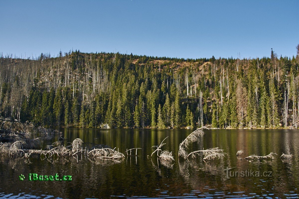
Gruberg


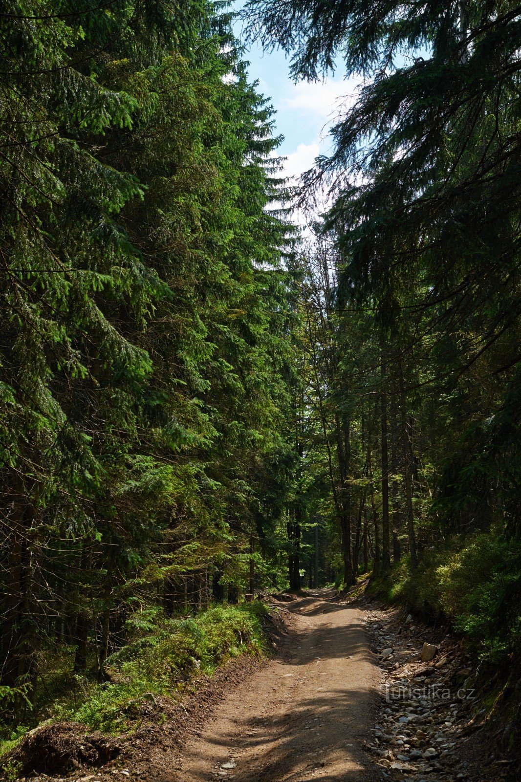
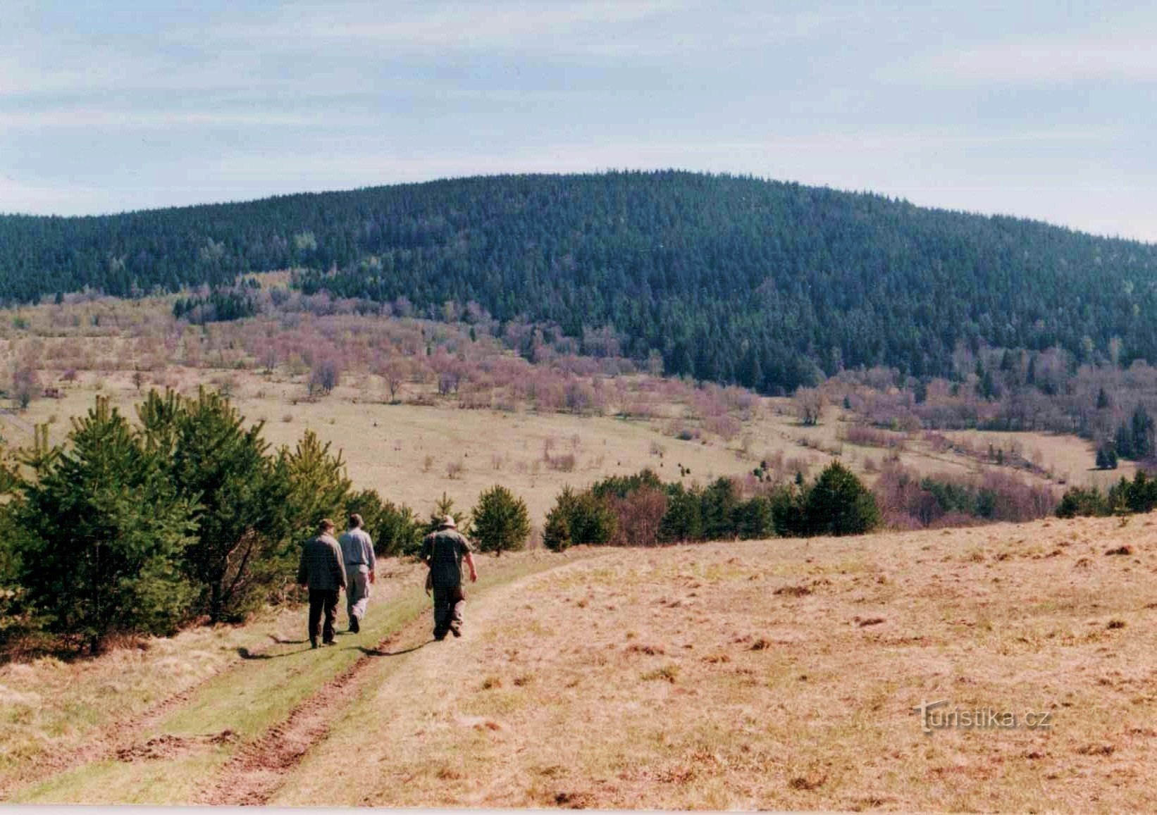
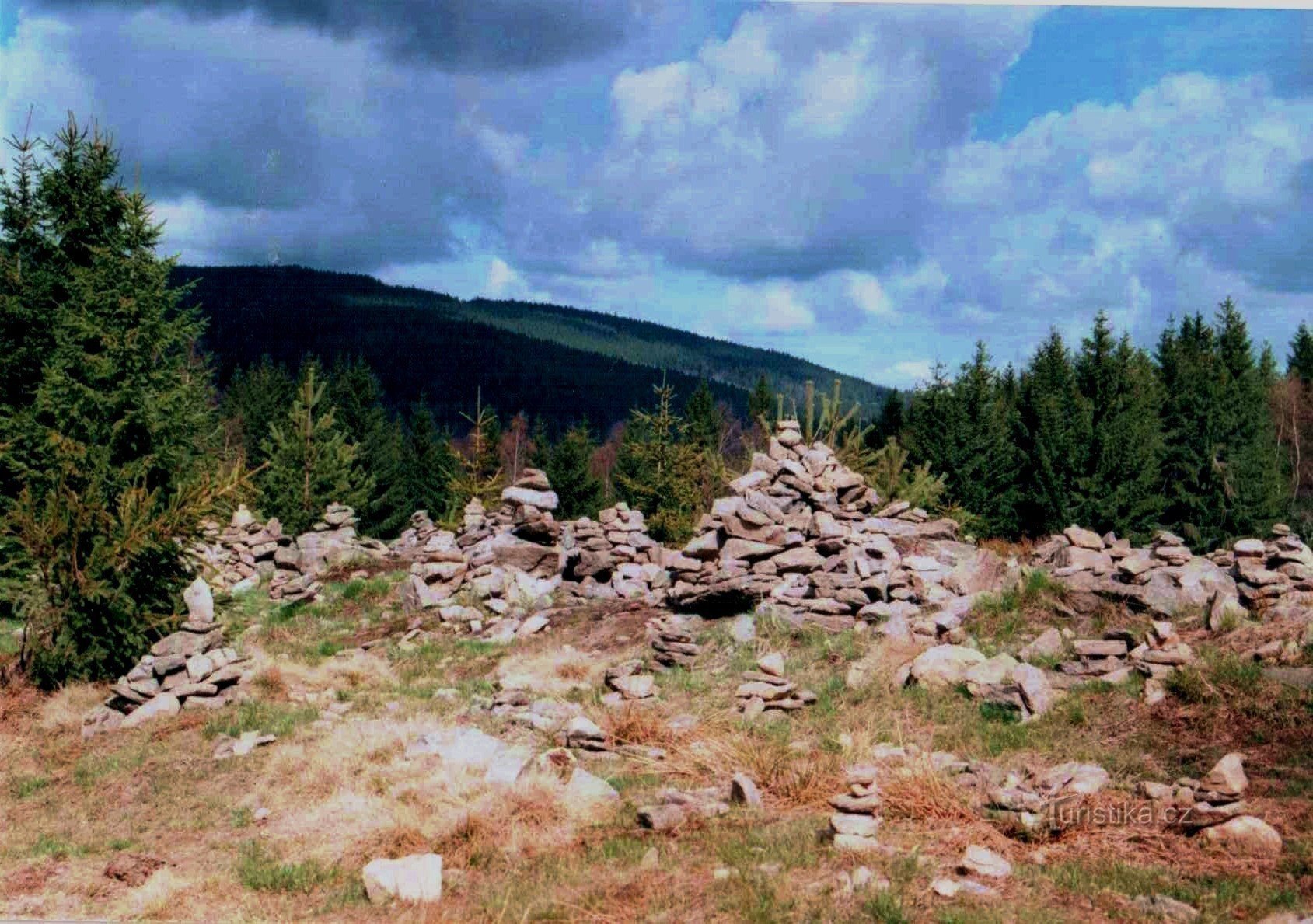
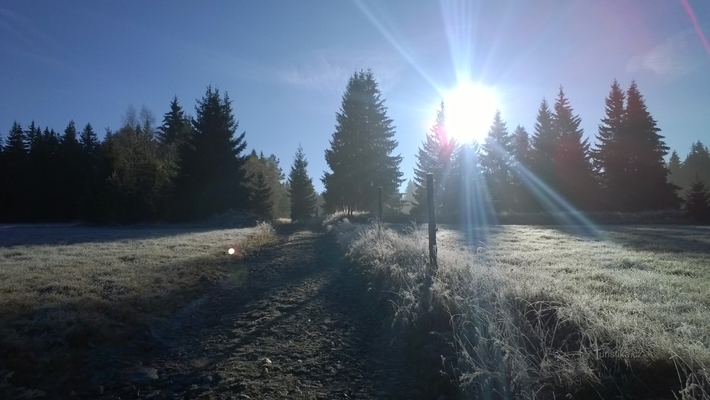
The crossroads is located about one kilometer southeast of the Šumava village of Prášily and about nine kilometers west of the village of Srní. The crossroads is at an altitude of 883 meters above sea level, and until 1948 there was a settlement of twelve houses, after 1952 it was again a tank shooting range for a change. Following the yellow tourist sign in a westerly direction, we reach the village of Prášily and on to Gsenget via the U Prášil junction. It also leads in a southerly direction…
Share this place with friends
Gruberg
Other places in the vicinity - Gruberg
- Čenkova Pila
- Good water
- Lower Těšov
- Hartmanice
- Upper Krušec
- Upper Těšov
- Chlum
- Yelenov
- Monastery Mill
- Cross
- Kundratice
- Little Goat Back
- Little Radkov
- Moss
- Nova Hůrka
- Palvinov
- They were dusty
- Rejštejn
- Roe deer
- My own
- Stepanice
- Poor woman
- Cotton wool
- Big Goat Back
- Great Radkov
- Vchynice-Tetov I
- Zalužice