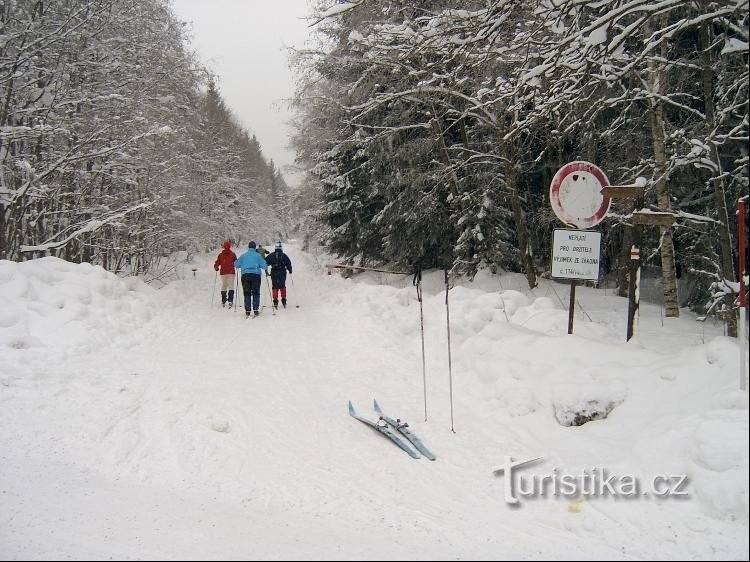
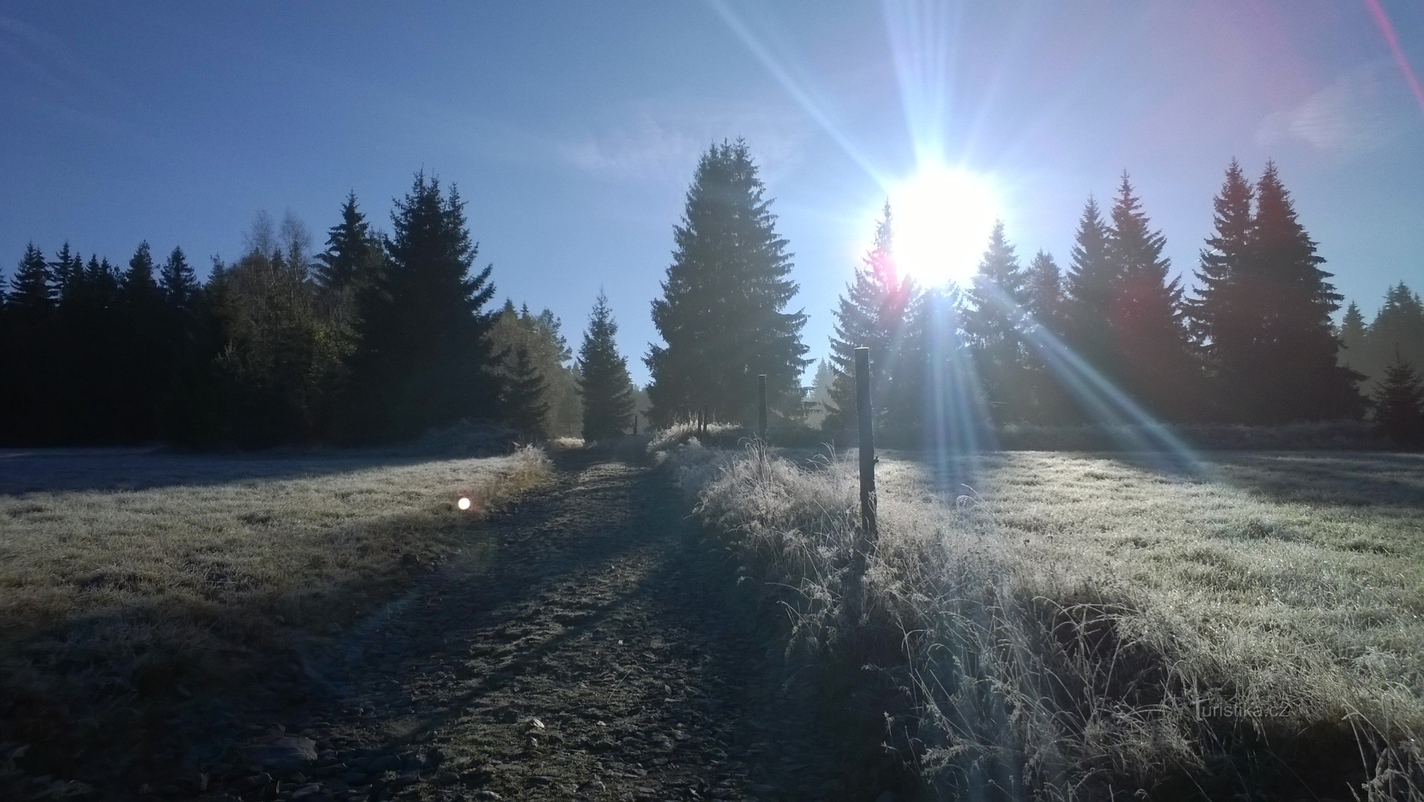
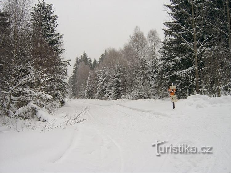
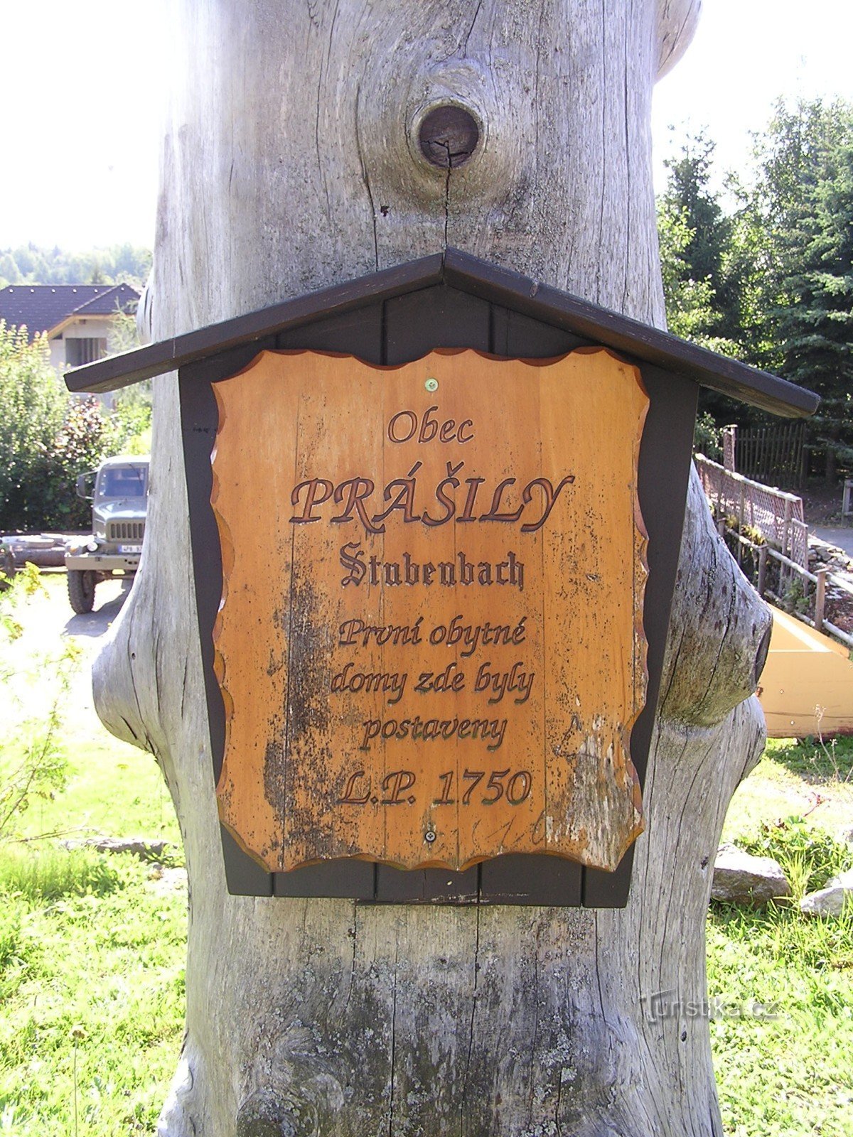
Prášil circuit


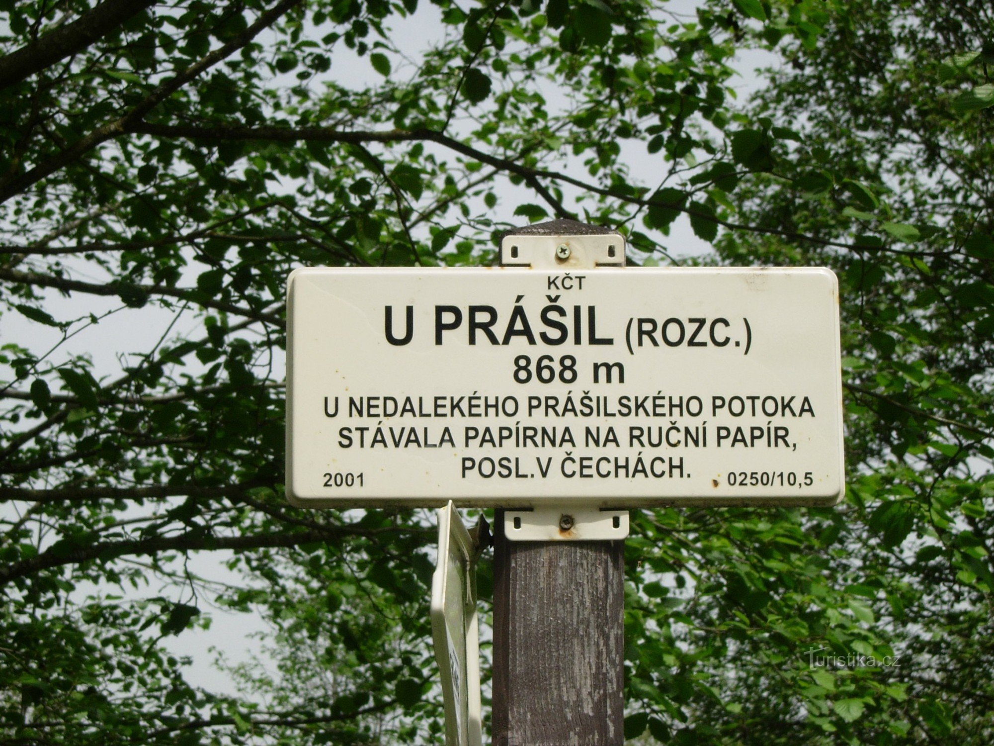
The route leads from the junction "U Prášil" through Prášilské jezero, Poledník and Prášili. It is about 14km long. Prášilské lake Prášilké jezero is one of the five Šumava lakes. It is located at an altitude of 1080 meters above sea level. The maximum depth is 14 meters and 90 cm. 3,7 ha. The water of the lake drains…
Share this place with friends
Prášil circuit
Other places in the vicinity - Prášilský circuit