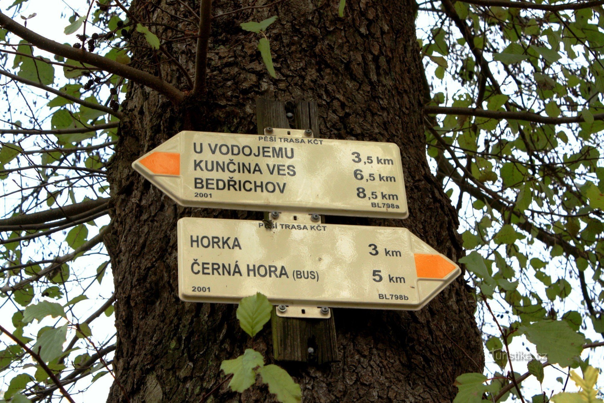
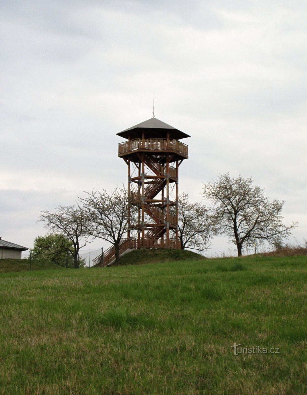
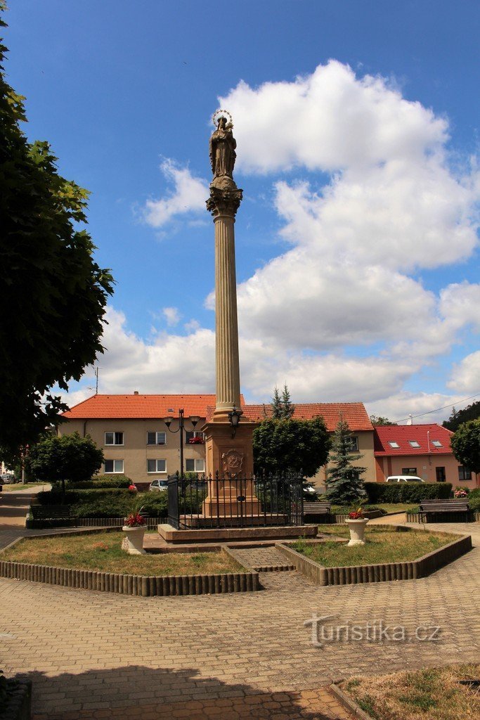
Býkovice - flood mark


A sign showing the highest water level on the Býkovka stream during the 20th century, during the catastrophic flood on July 12, 1922. It is located on the southwestern edge of the village near the tourist crossroads. A yellow-marked tourist route from Černá Hora to Bedřichov passes by.
Tourist maps: KČT 1:50 No. 000 Surroundings of Brno-Svratecko/B85, GOL 2:1 Surroundings of Brno-Tišnovsko
Tourist maps: KČT 1:50 No. 000 Surroundings of Brno-Svratecko/B85, GOL 2:1 Surroundings of Brno-Tišnovsko
Share this place with friends
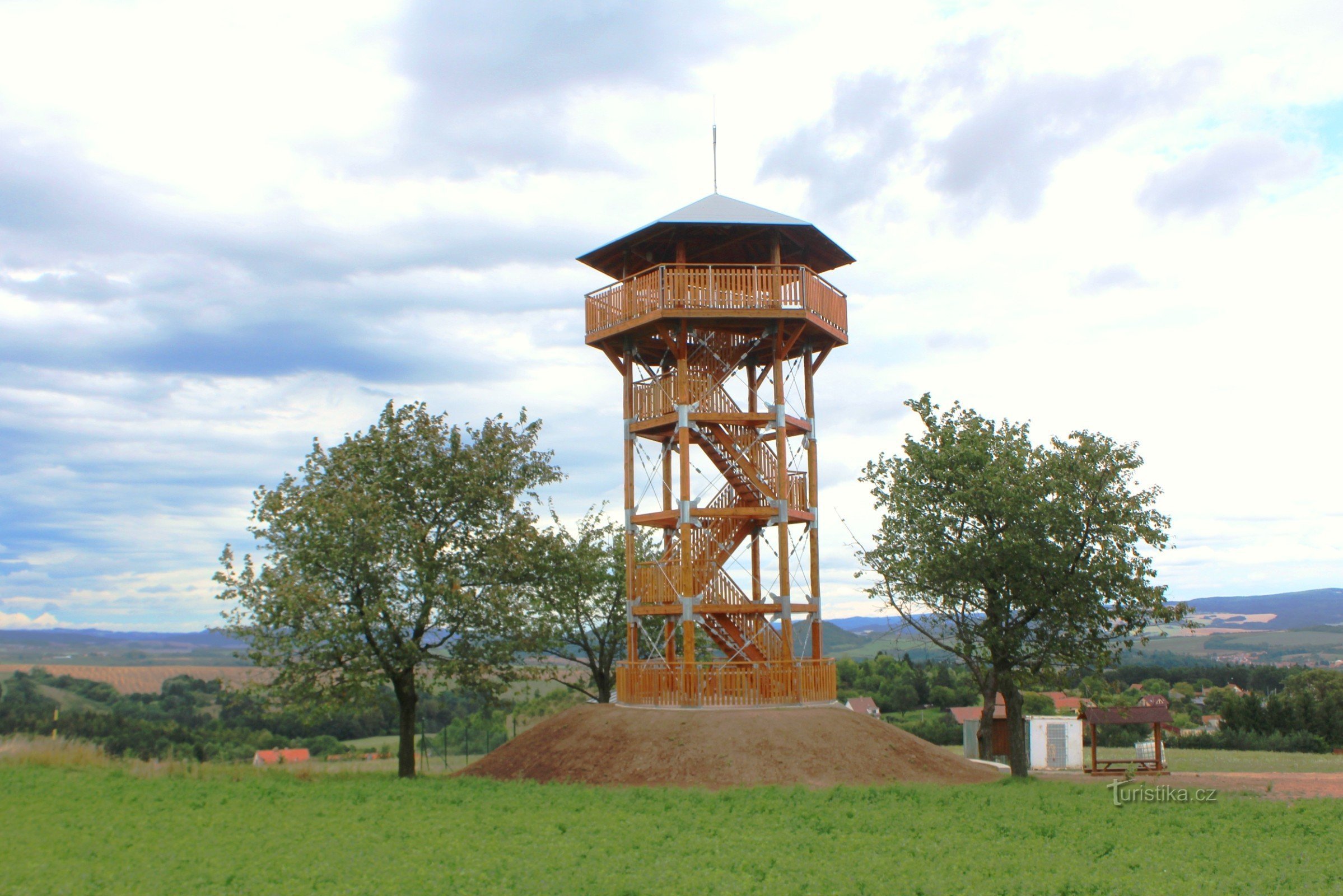
Býkovice - flood mark
Other places in the vicinity - Býkovice - flood sign
- Bedřichov
- Boritov
- Brťov near Černá Hora
- Brťov-Jeneč
- Brumov
- Bukovice
- Bulls
- Montenegro
- Long Term
- Lower Lhota
- Doubravice nad Svitavou
- Drovnice
- Cheers
- Hajek
- Hluboké Dvory
- Hluboké near Kunštát
- Holešin
- Upper Lhota
- Apple people
- Yammy
- Henchman
- Jestrebi
- Kozarov
- Krhov
- Kunčina Village
- Rabbits
- A state of art
- Lachnov
- Lazani
- Lhota Rapotin
- Lhota near Lysice
- Lipovka
- Lomnica
- Slasher
- Please
- Fox
- Little Lhota
- Mistress
- Mladkov
- Nuzírov
- Game reserve
- Go to Tišnov
- Aspens
- Paradise
- Paradise-Hawk
- Paradise
- Rasov
- A mat
- Rape
- Sebranice
- Skalice above Svitavou
- Little rock
- He was in a hurry
- A ripper
- Dawn
- Wheezing
- Synalov
- Sherkovice
- Štěchov
- Tubor
- The trip
- Újezd near Boskovice
- Újezd near Černá Hora
- Union
- Waterworks
- Everything
- Envy
- A freak
- burn
- Iron
- Cornflower
- Jesters
- Grooves