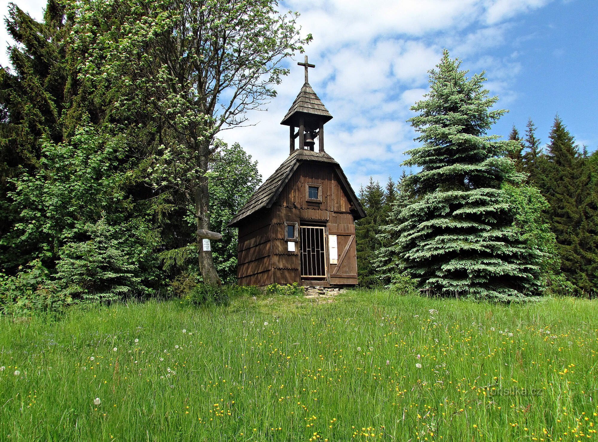
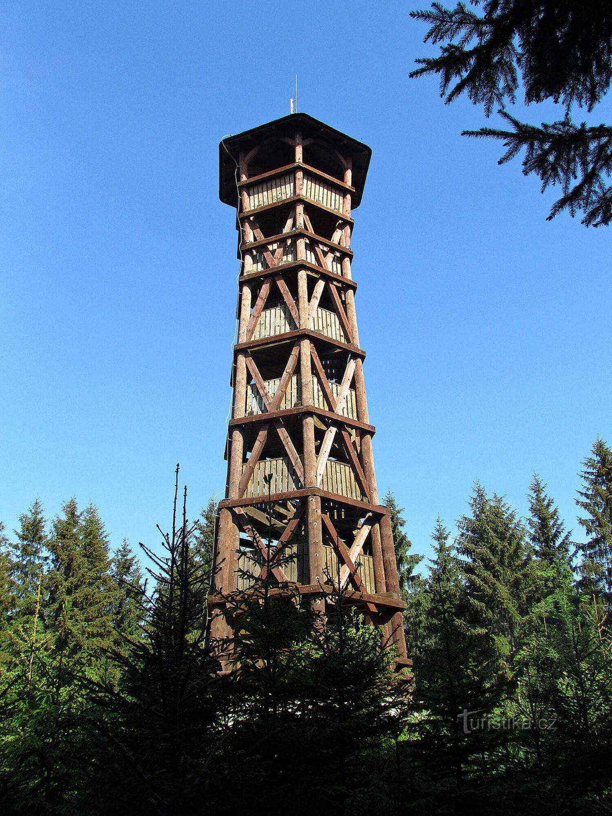
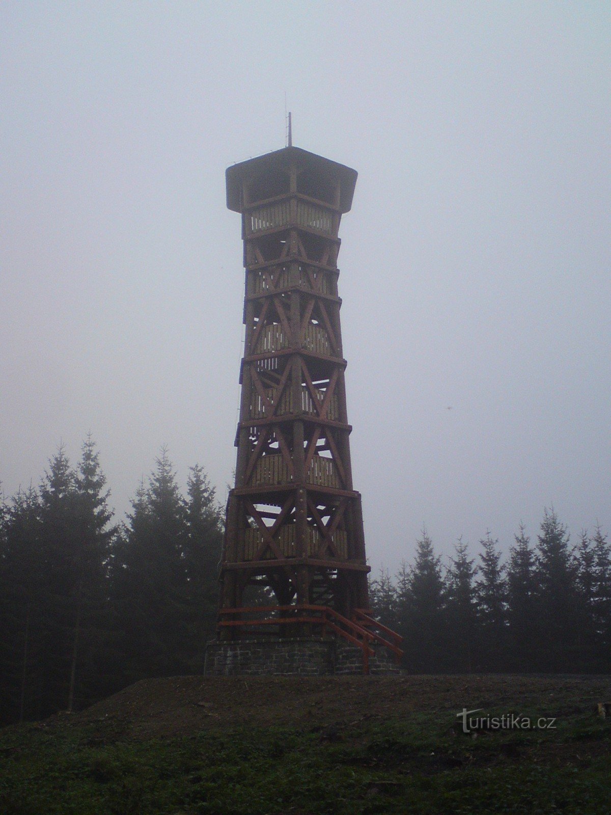
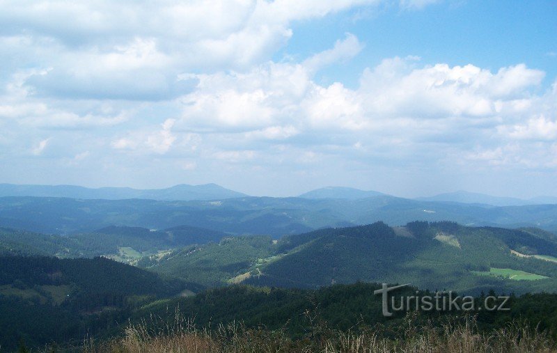
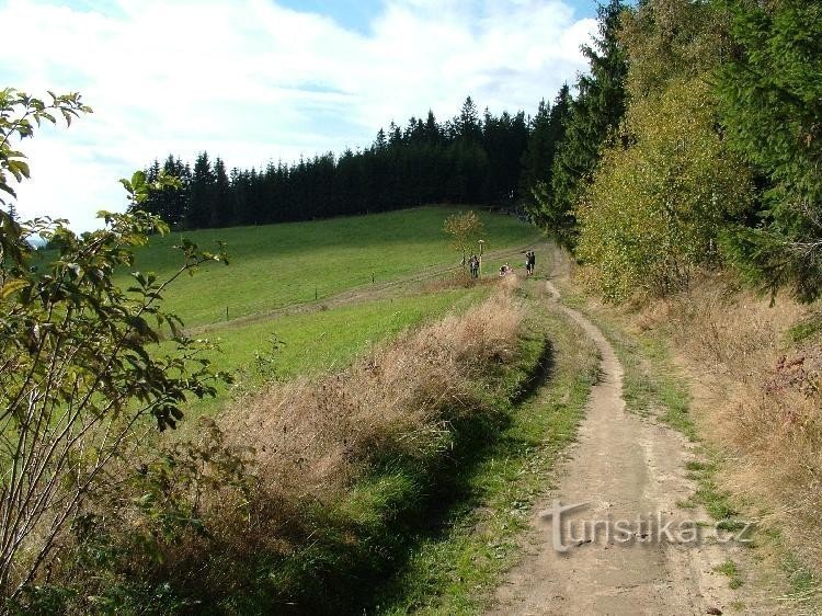
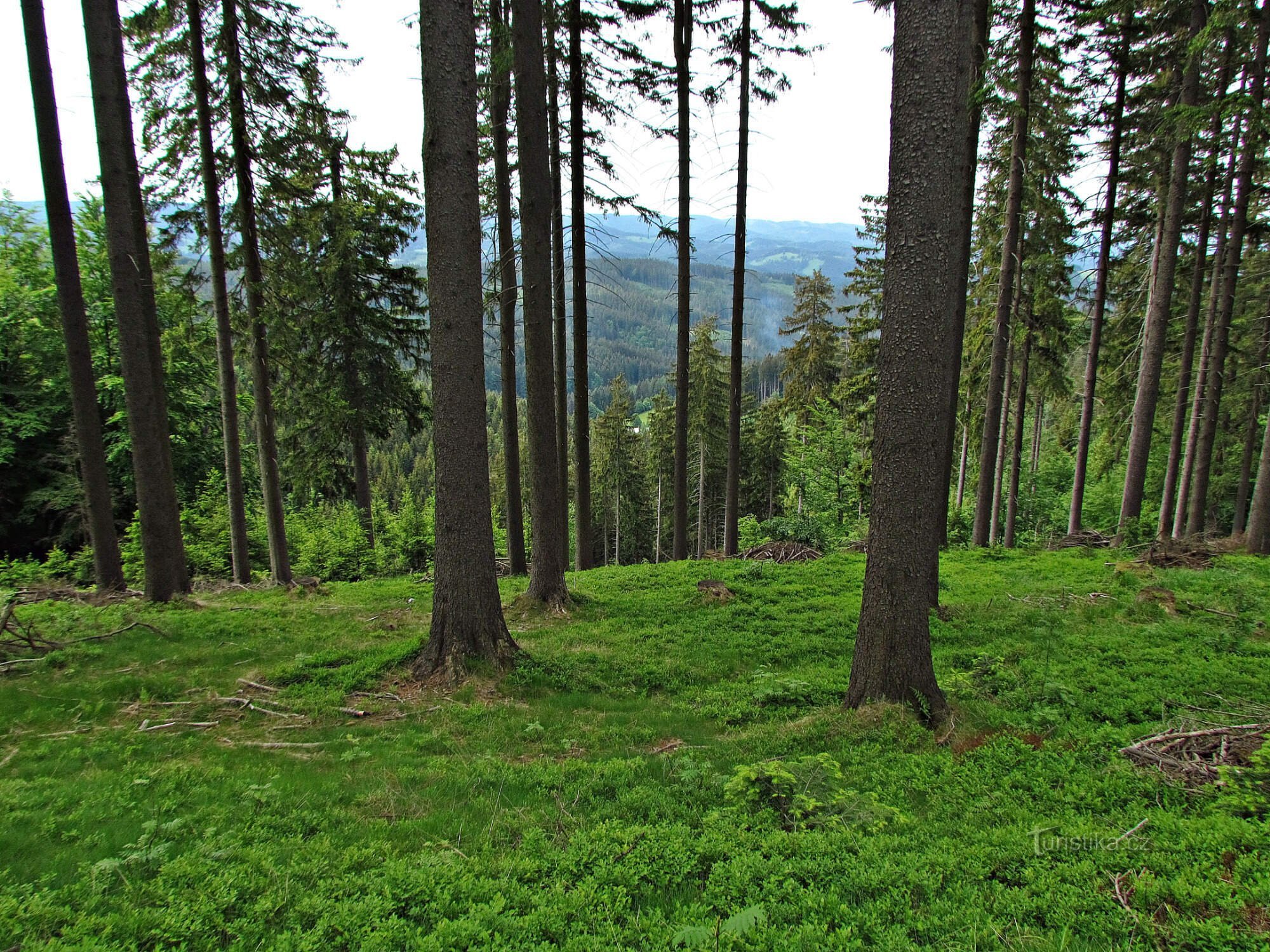
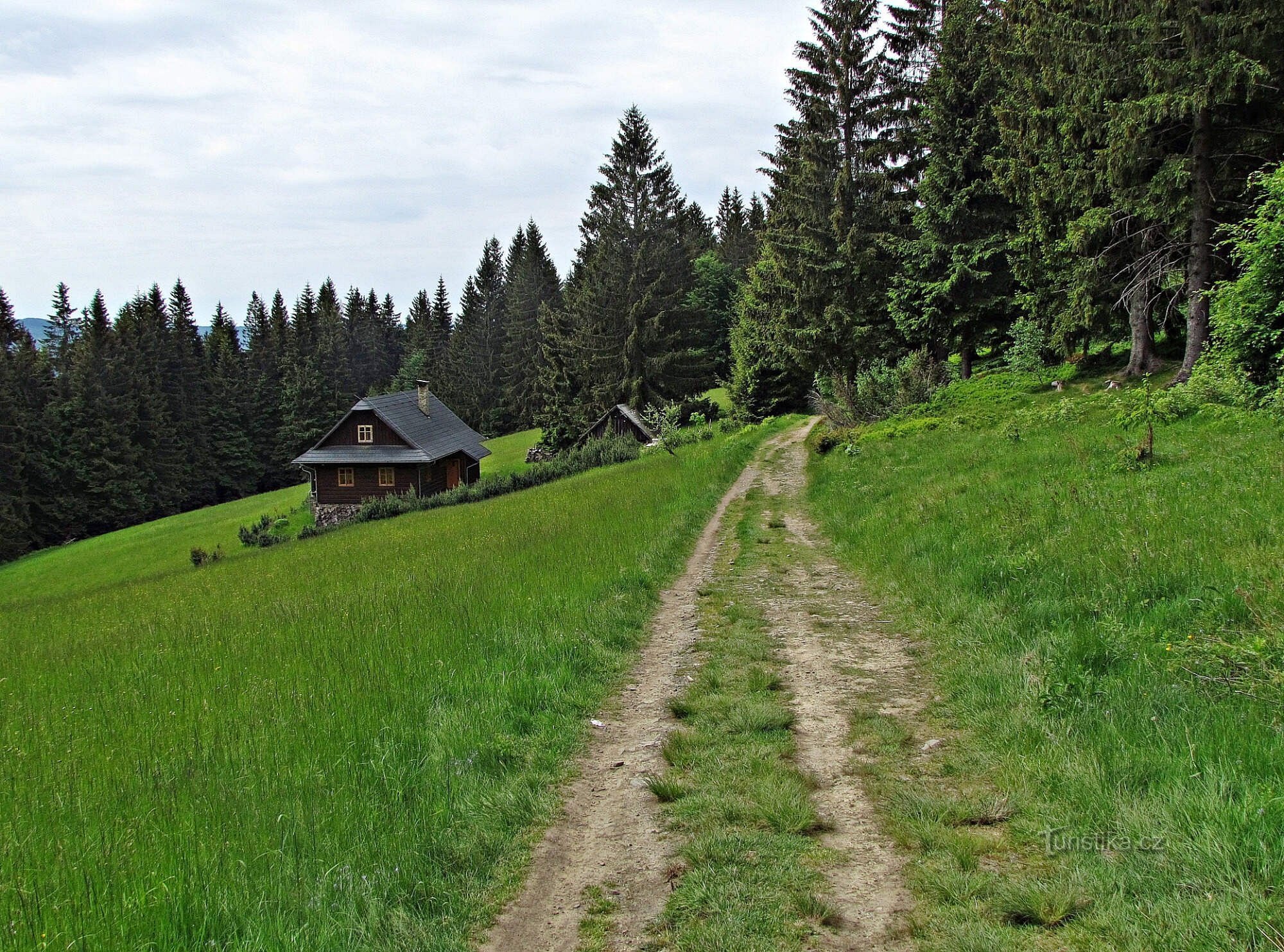
Views beyond the crossroads at Polana
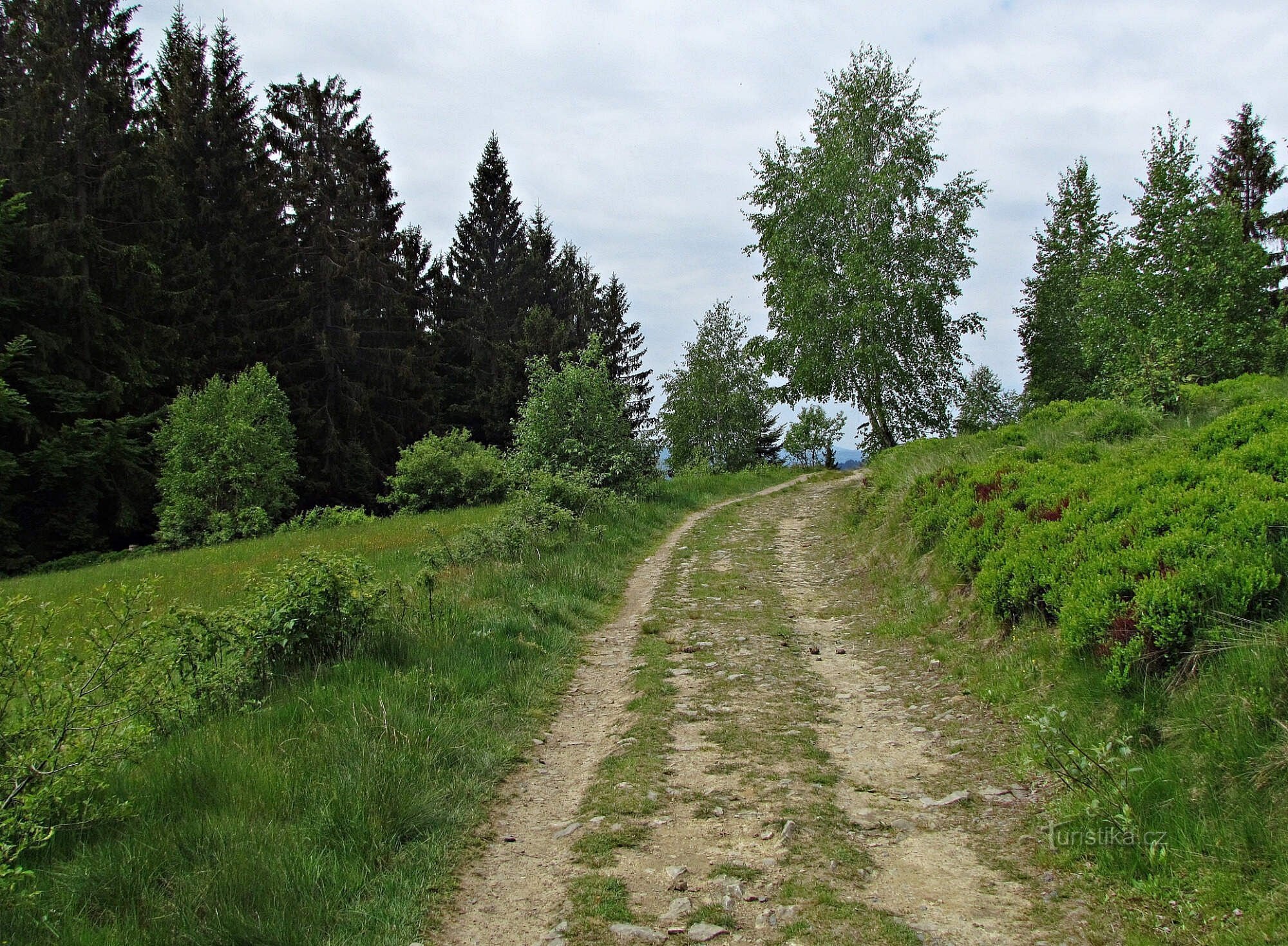
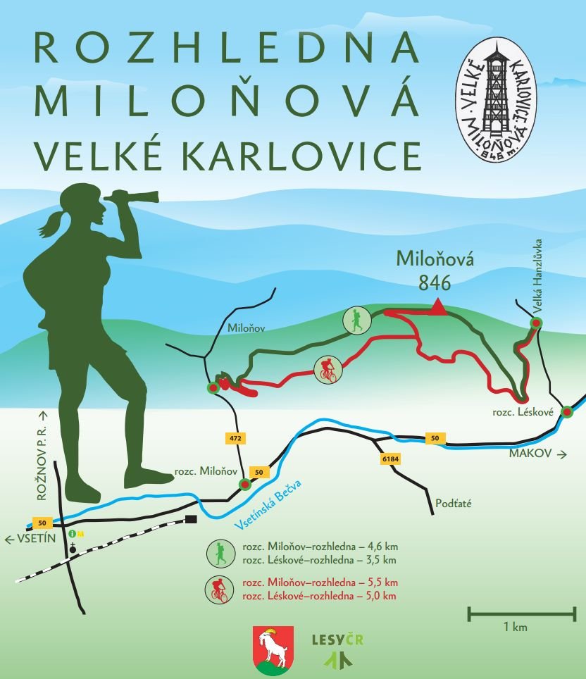
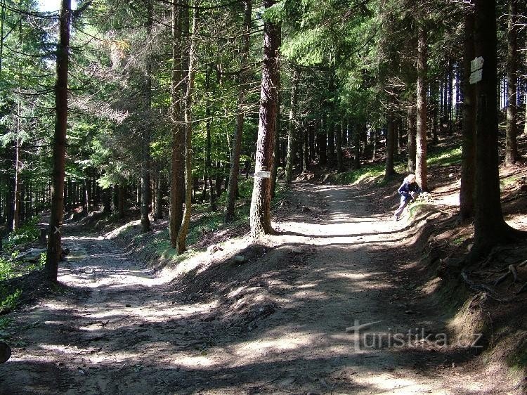
The crossroads is located at an altitude of 910 m above sea level, and the top of Polany (937 m) is about 150 meters from here in a northeasterly direction. The ridge is crossed here by a yellow hiking trail, starting from the Velko Karlovy Vary settlement of Miloňová and descending to the dam in Horní Bečva on the other side.
The ridge leads here from the Bohemian-Moravian border and Bumbalka over the highest mountain of the Vsetín Hills – Vysoka with 1024 m, red...
The ridge leads here from the Bohemian-Moravian border and Bumbalka over the highest mountain of the Vsetín Hills – Vysoka with 1024 m, red...
Share this place with friends
Views beyond the crossroads at Polana
Other places in the vicinity - Views beyond the fork in Polana
- Viewpoints Zlín region
- Viewpoints Vsetín district
- Viewpoints of Velká Karlovice
- Viewpoints of Jezerná
- Viewpoints of the Beskydy
- Views of the White Carpathians
- Views of Wallachia
- Prospects of Silesia
- Viewpoints of North Moravia
- Javorníky viewpoints
- Viewpoints of Kysuce
- Viewpoints Vsetínsko
- Tips for a trip to Velké Karlovice