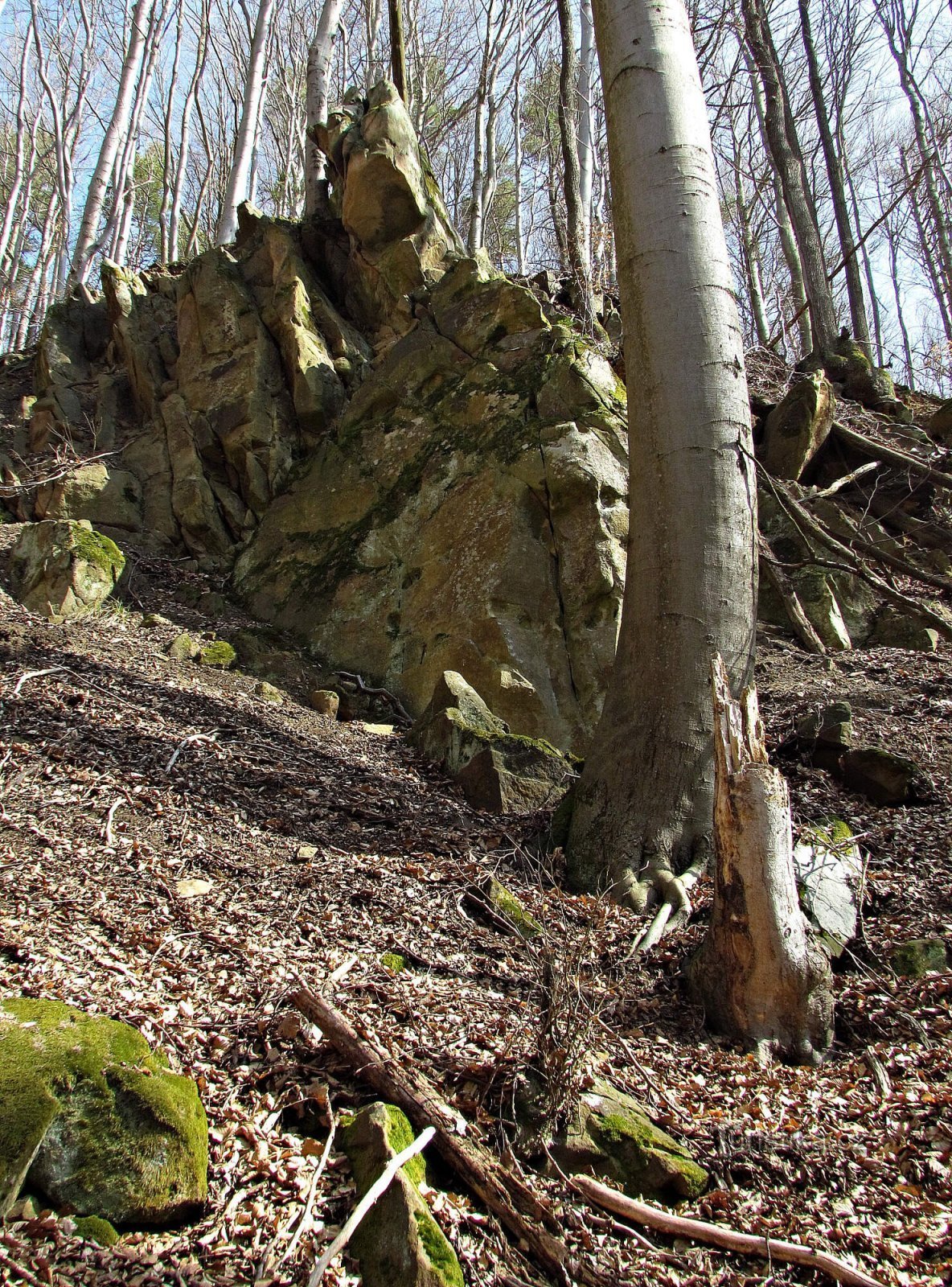
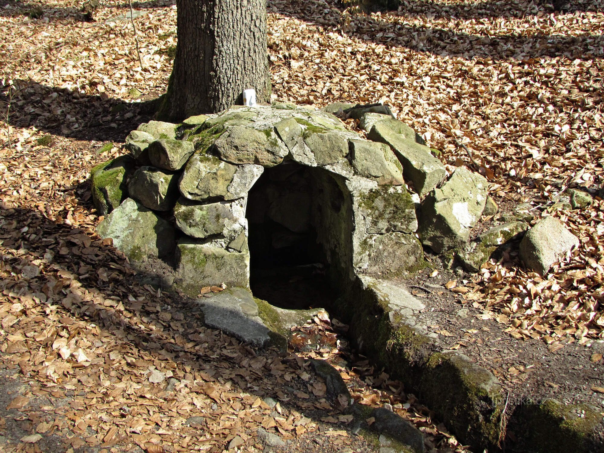
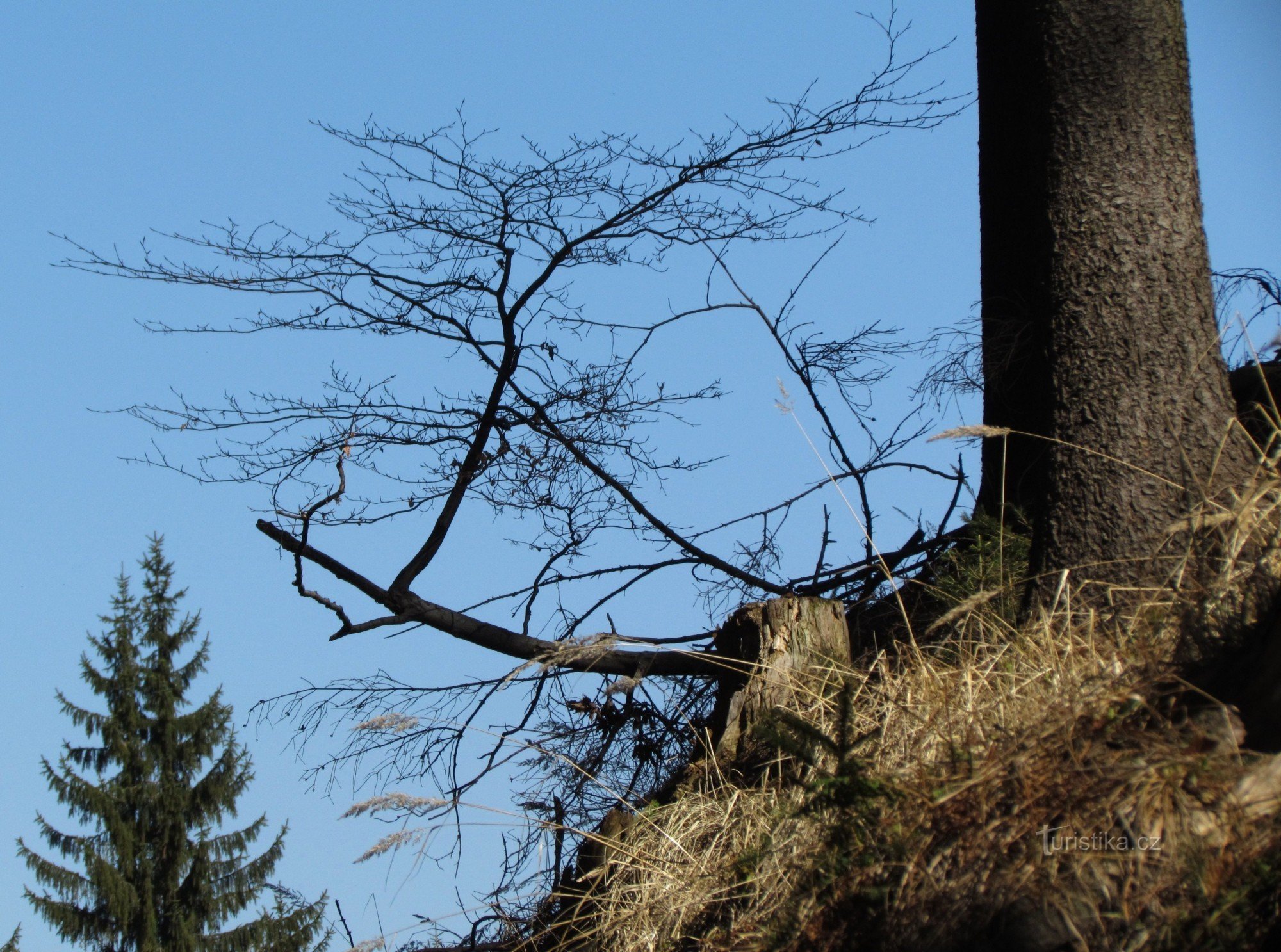
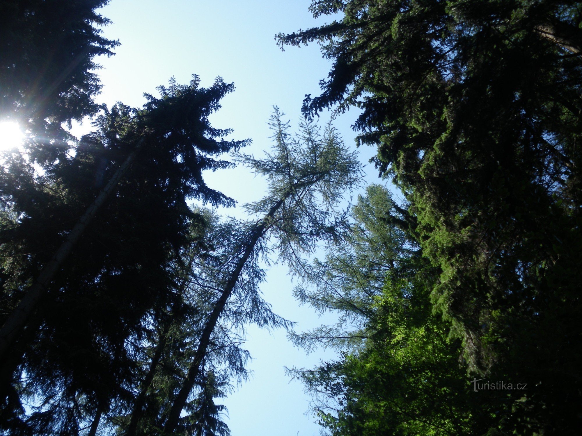
"Vodnické lake" near the ruins of Sehrad


Its water level can be seen on the ridge near the castle just beyond the crossroads with the Info board. The lake has an area of 25 x 12 m and its northern bank is partially covered with reeds. The remaining banks - not long ago deforested, then rapidly growing thickets of young deciduous trees. Today, its peaceful water surface is roamed by a pair of wild ducks in love... and it's surprising at what heights these waterfowl are looking for undisturbed...
Share this place with friends
"Vodnické lake" near the ruins of Sehrad
Other places in the vicinity - "Vodnické jezírko" near the ruins of Sehrad
- March
- Birches
- Lower Lhota
- Doubravy
- Haluzice
- Upper Lhota
- Hřivínův Újezd
- Jaroslavice
- Kaňovice
- Positive Žilin
- Klečuvka
- Kudlov
- Lhotse
- Linden
- Linden
- Meadow
- Ludkovice
- Luhačovice
- Lužkovice
- Nevšová
- St. Peter's Day
- Under the castle
- Pozlovice
- Laundry room
- Operation
- Crossbows
- Cancerous
- Rudimov
- Řetechov
- Castle
- Slopne
- Slušovice
- The trip
- happy
- Vizovice
- Backyard
- Zádveřice-Raková
- Želechovice nad Drevnicí