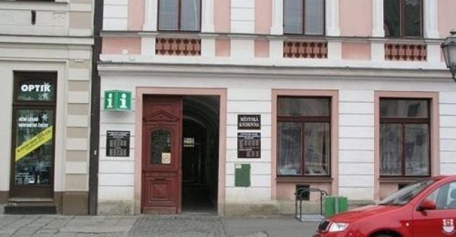
Míru Street


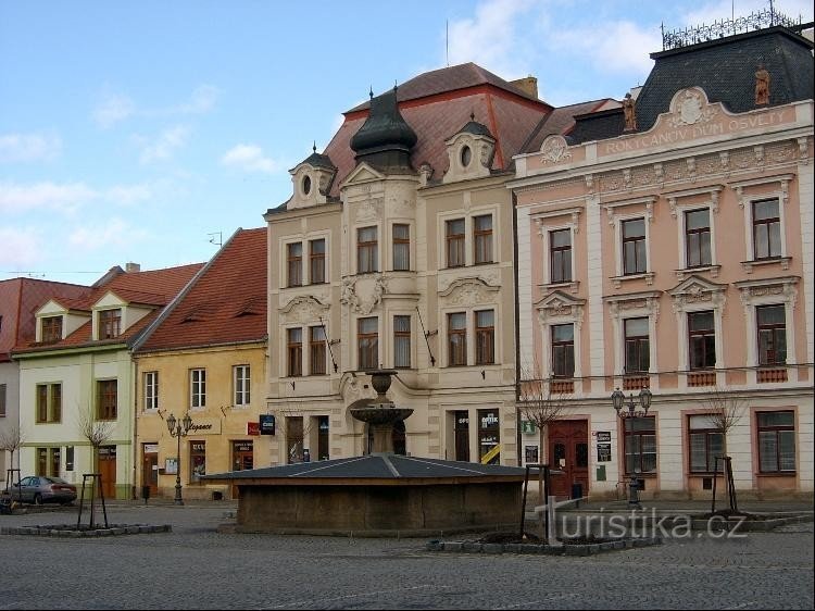
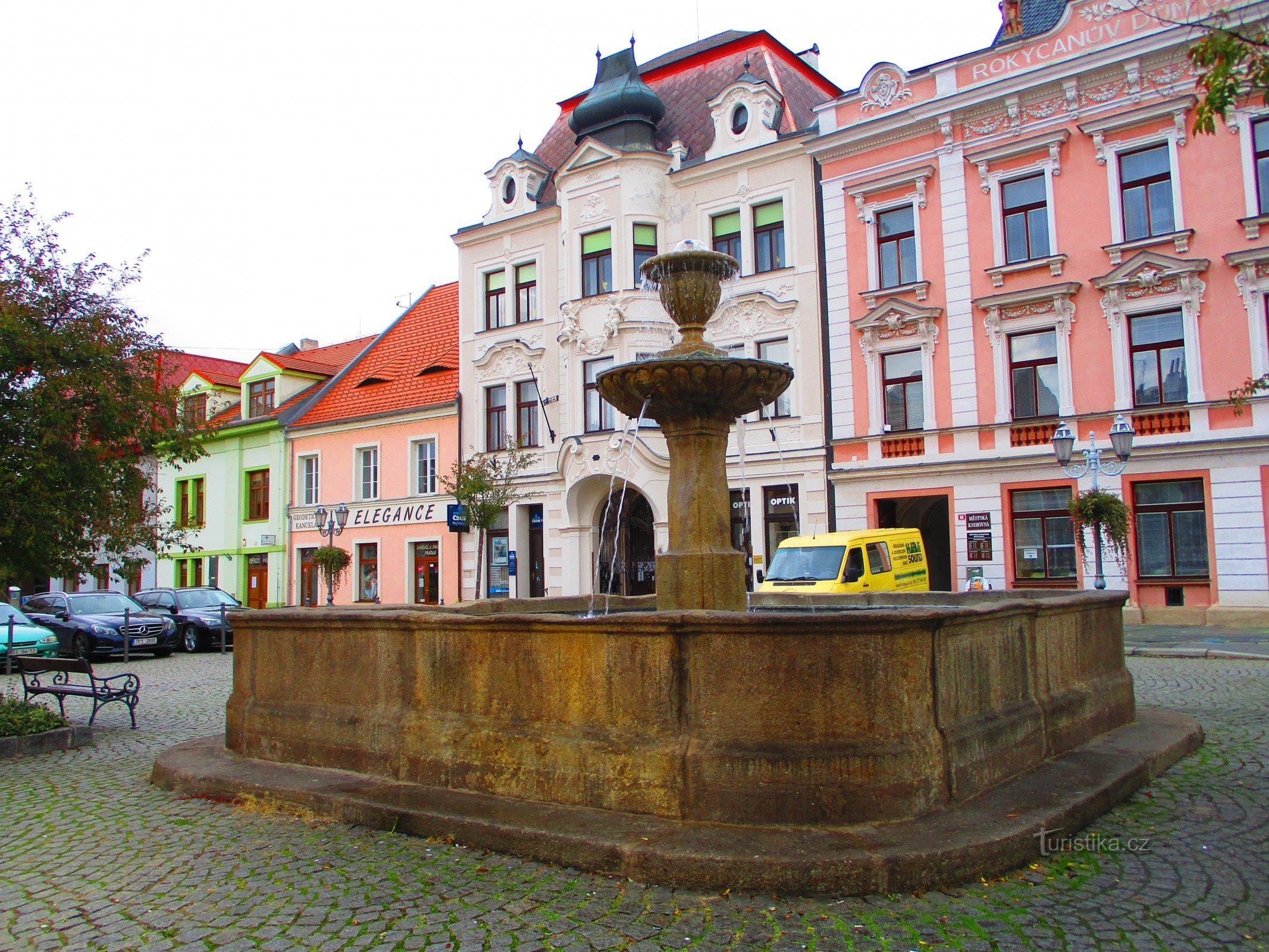
Míru Street is the historical east-west axis of medieval Rokycan, following the axis of the two historical city squares (Malé and Masarykovo náměstí). It measures about 200 meters. It was probably created in the fourteenth century in connection with the Gothic subdivision of the city. It is not clear whether the route of Míru Street was laid out completely anew as a link between Rokycan and Nové Plzeň, which before 1300 replaced the existing Pilsen...
Share this place with friends
Míru Street
Other places in the vicinity - Míru Street
- Bezdekov
- Borek
- March
- Bushovice
- Goodbye
- Grooves
- Shortness of breath
- Ejpovice
- Golubkov
- Castle
- Hot
- Rattle
- Cockroaches
- Stone Town
- Klava
- Cocand
- Carnatic
- Kysice
- Letkov
- Period
- Litohlavy
- Honey Újezd
- Mesno
- Mirošov
- Wetlands
- Wash
- Overfishing
- Can't see
- New Hut
- New Hut
- Nove Mesto
- Osek
- Pavlovsko
- Pilsen Suburbs
- Crosshairs
- Cancerous
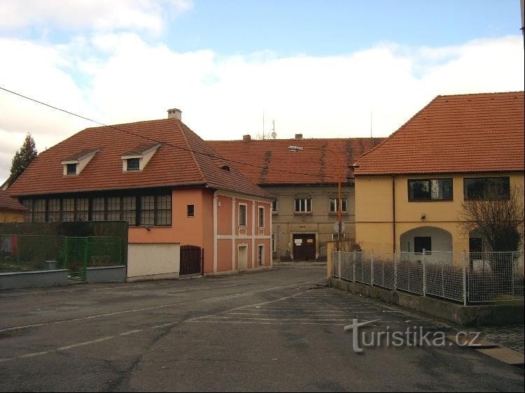
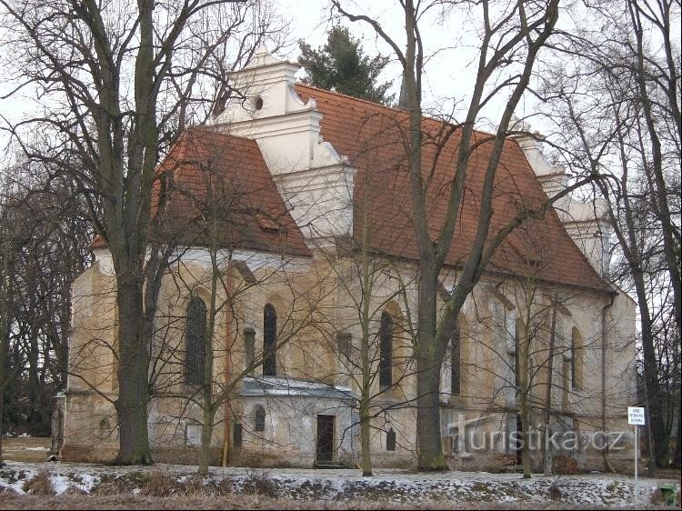
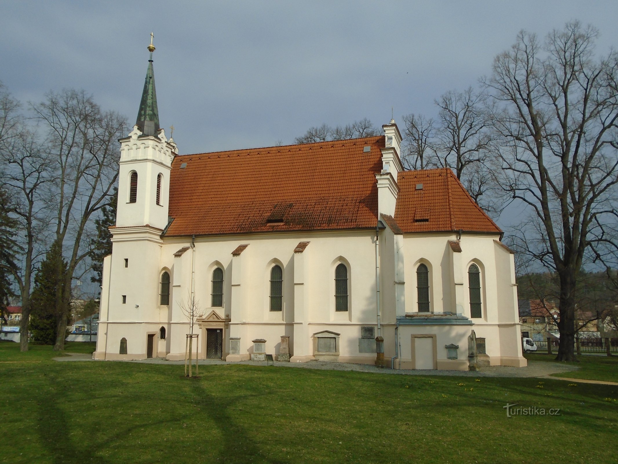
- Rokycany
- Saddler
- Little saddle
- Glass Smelter
- Little girl
- Old Pilsen
- Tassels
- Center
- Degree
- Svojkovice
- Fatheads
- Teshkov
- Tymakov
- happy
- Vitinka
- Volduchs
- Všenice