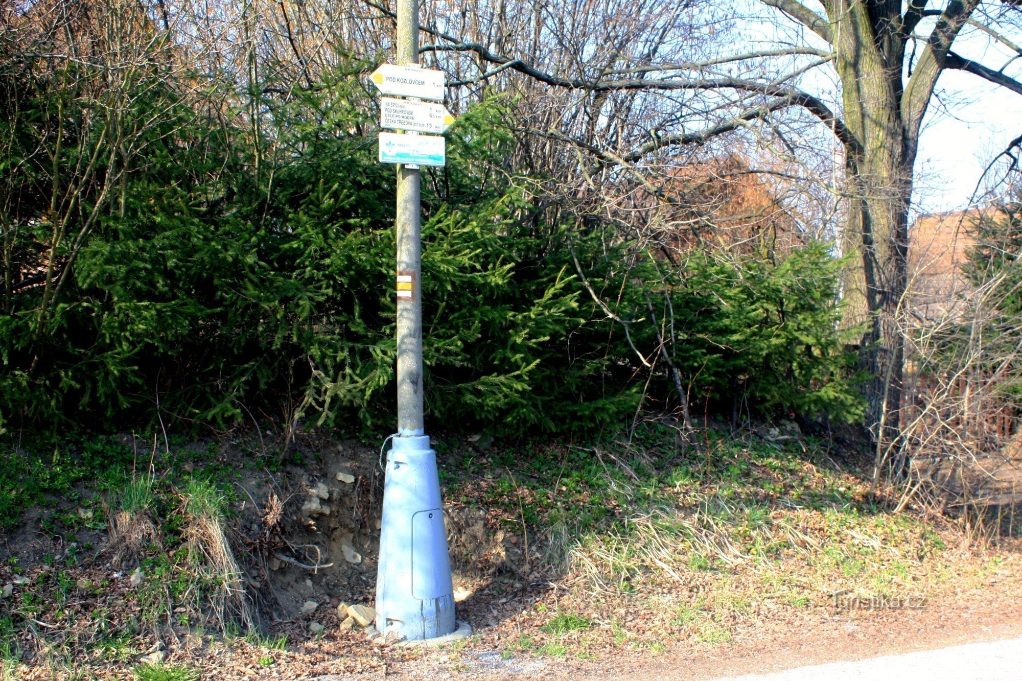
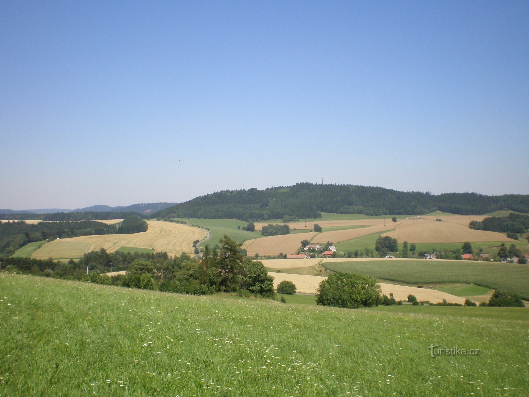
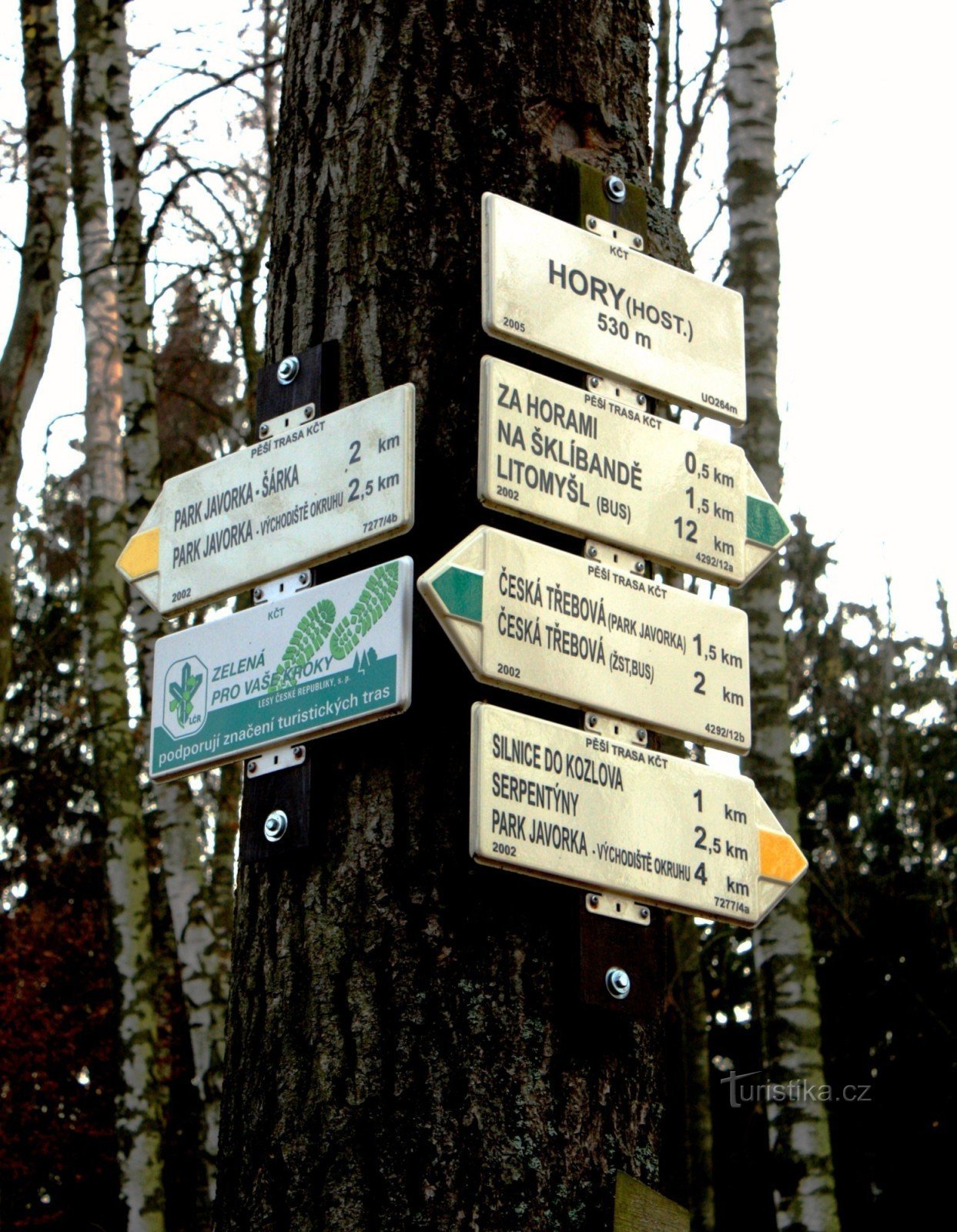
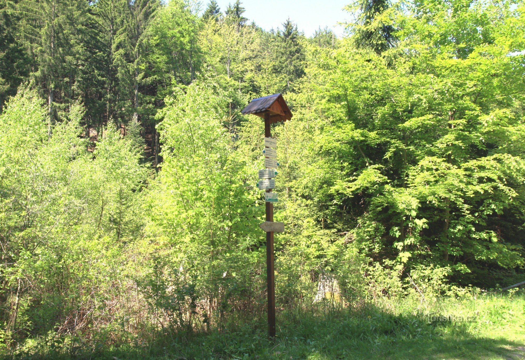
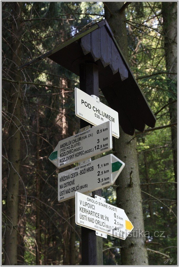
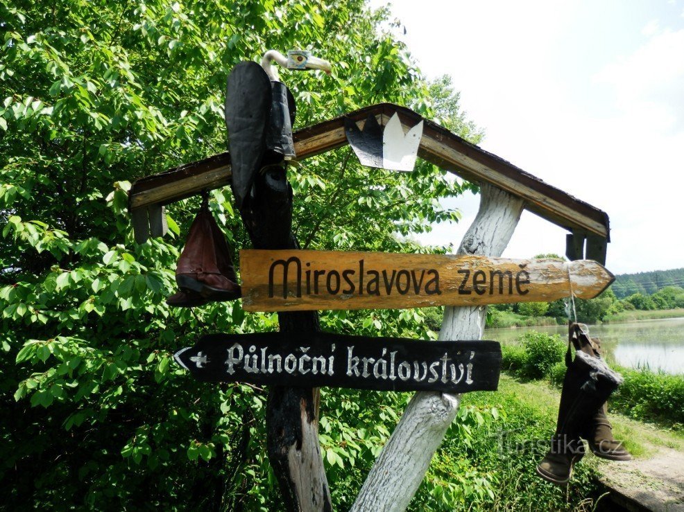
Tourist crossroads Přívrat


It is located on the northwestern edge of the village. A green-marked hiking trail passes through here, which follows the main ridge and goes in one direction over Zhorský kopec to Kozlovský kopec and then through the Psí kúchine reserve to the Semanín stop, in the other direction through Kozlovec to Andrlův chlum and on to Ústí nad Orlicí.
Tourist maps: KČT 1:50 no. 000 Bohemian-Moravian Intermountains - Českotřebovsk Region, GOL 49:1 Orlicko...
Tourist maps: KČT 1:50 no. 000 Bohemian-Moravian Intermountains - Českotřebovsk Region, GOL 49:1 Orlicko...
Share this place with friends
Tourist crossroads Přívrat
Other places in the vicinity - Tourist crossroads Přívrat
- Venice
- Bohuňovice
- Borova
- Black whirlwind
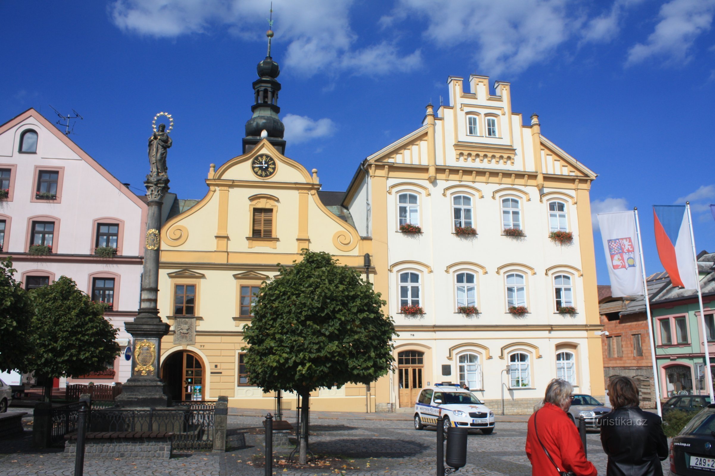
- Česká Třebová
- A hairpin
- Long Třebová
- Good water
- Lower Houžovec
- Lower Libchavy
- Lower Column
- Dzbánov
- Upper Dobrouc
- Upper Houžovec
- Upper Column
- Castle
- Hylvaty
- Genoa
- He browns
- Kerhartice
- Knapovec
- Končiny 1nd part
- Končiny 2nd part
- Cornice
- Kozlov
- Lanšperk
- Girl
- Lhotka
- Libchavy
- Litomysl
- Litomyšl-City
- Not finished
- German woman
- Not necessarily
- Oldřichovice
- Steamer
- Armpit
- Homecoming
- Poodle
- Pond
- Retova
- Retůvka
- Rivers
- Saddlery
- Semanian
- Retinas
- Skuhrov
- Columns
- Magpies
- Sudislav nad Orlicí
- Dry
- Swindle
- Usti nad Orlici
- Vlckov
- Waterworks
- He will start
- The garden
- burn