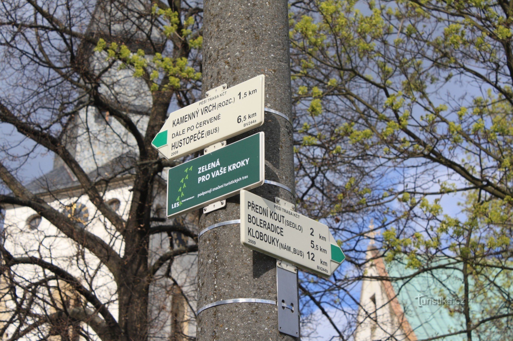
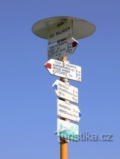
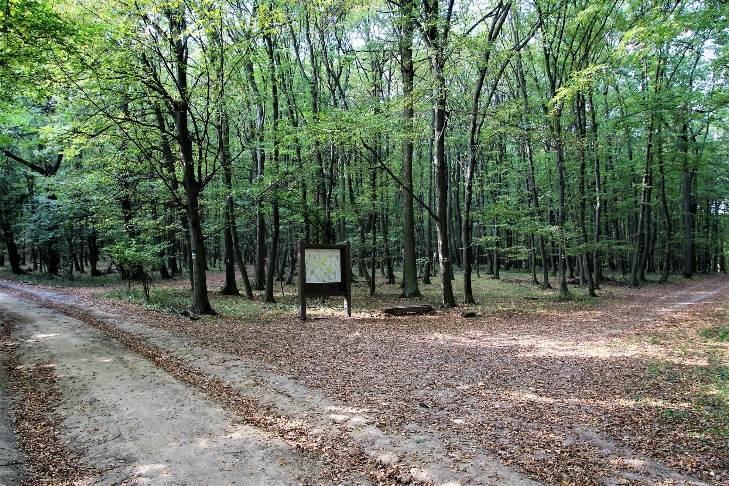
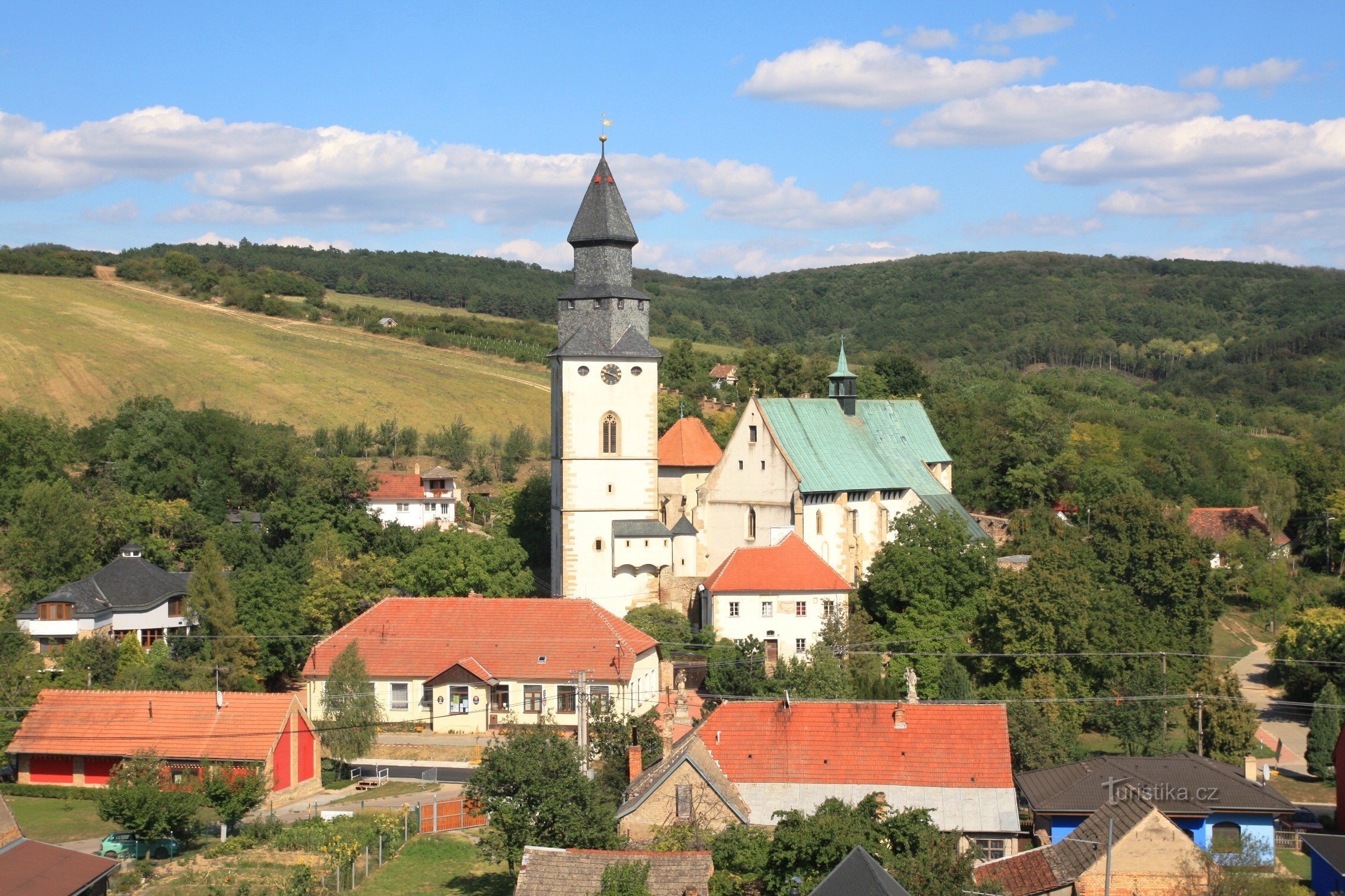
Tourist crossroads Front corner saddle
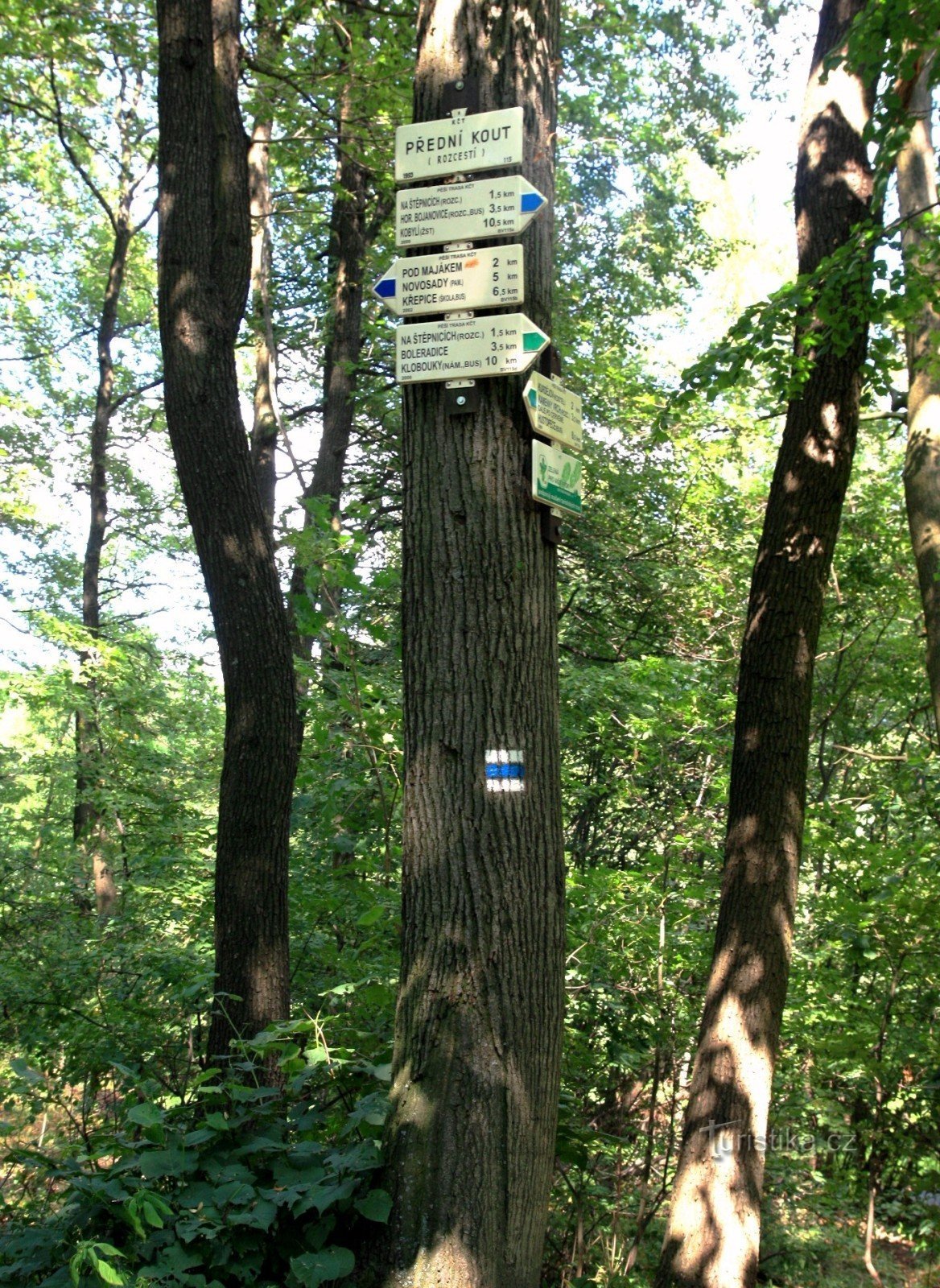
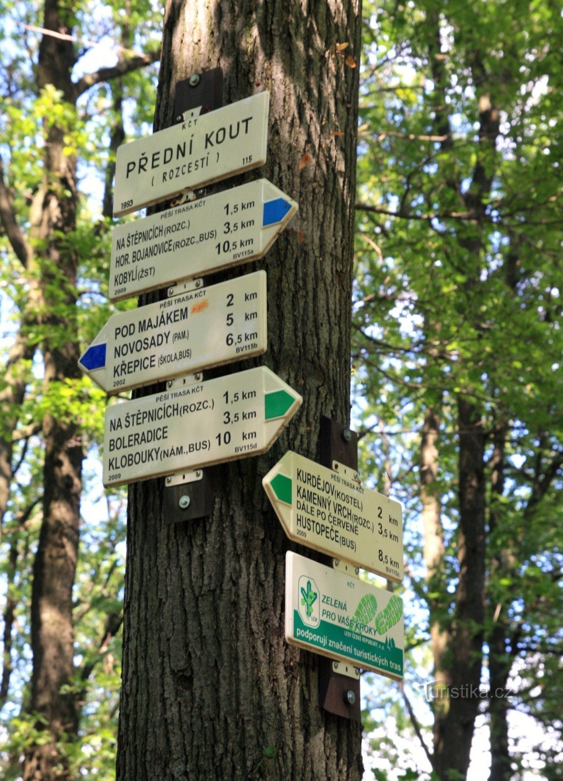

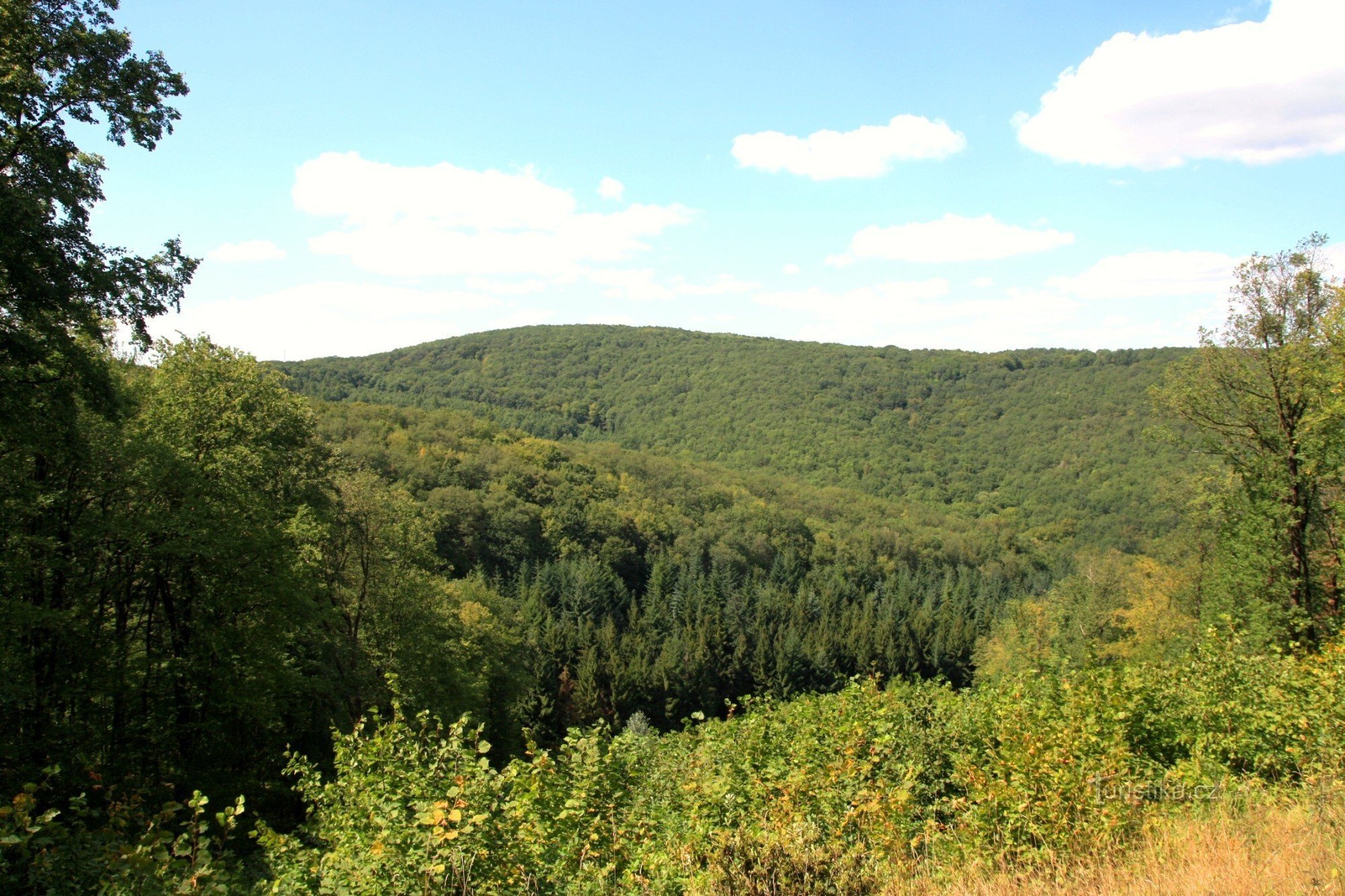
It is located in the saddle below the local highest peak called Přední kout (410 m). A blue-marked tourist route leads from Křepic to Kobylí and on to Čejkovice. Next, there is a green marked tourist path leading from Boleradice to Kurdějov and on to Hustopečí.
Tourist maps: KČT 1:50 No. 000 Surroundings of Brno-Slavkovské battlefield and Ždánický forest/C87, GOL 3:1 Hustopečsko
Tourist maps: KČT 1:50 No. 000 Surroundings of Brno-Slavkovské battlefield and Ždánický forest/C87, GOL 3:1 Hustopečsko
Share this place with friends
Tourist crossroads Front corner saddle
Other places in the vicinity - Tourist crossroads Přední kout sedlo