Stračovský bor


This is a large forest complex, which is situated south of Stračov and, in addition to the cadastre of this municipality, it also occupies parts of the cadastral territories of Stračovská Lhota, Nerošov and Suché. Its eponymous highest point has an altitude of 295,7 m above sea level and thus belongs to the highest points of the Nechanické tabula, which is a flat hilly area in the Bystřice basin, which is one of the districts of the much larger Cidlinská tabula. Its meaning…
Share this place with friends
Stračovský bor
Other places in the vicinity - Stračovský bor
- Basnice
- Venice
- Bielsko near Hořice
- Boharyna
- Březovice
- Brišťany
- Buda
- Cerekvice above Bystřicí
- Cenice, part 2
- Chisteves
- Long Courts
- Dobra Voda near Hořice
- Finisher
- Lower Blacks
- Lower Rec
- Oak
- Oak
- You are angry
- Homil
- Upper Blacks
- Upper Dohalice
- Upper Rec
- Hořice
- Hořiněves
- Castle
- Charbuzica
- Chlumek
- Chlum
- Hops
- Praise
- Janatov
- Pin
- Jerice
- Grouper
- Klenice
- Grasshopper
- Mosquitoes
- Kouty
- Rabbits
- Bunnies
- love
- Libonice
- Linden
- Liskovice
- Lodin
- Love
- Butter eaters
- Milovice near Horice
- Wetbeards
- Mystèves
- Mžany
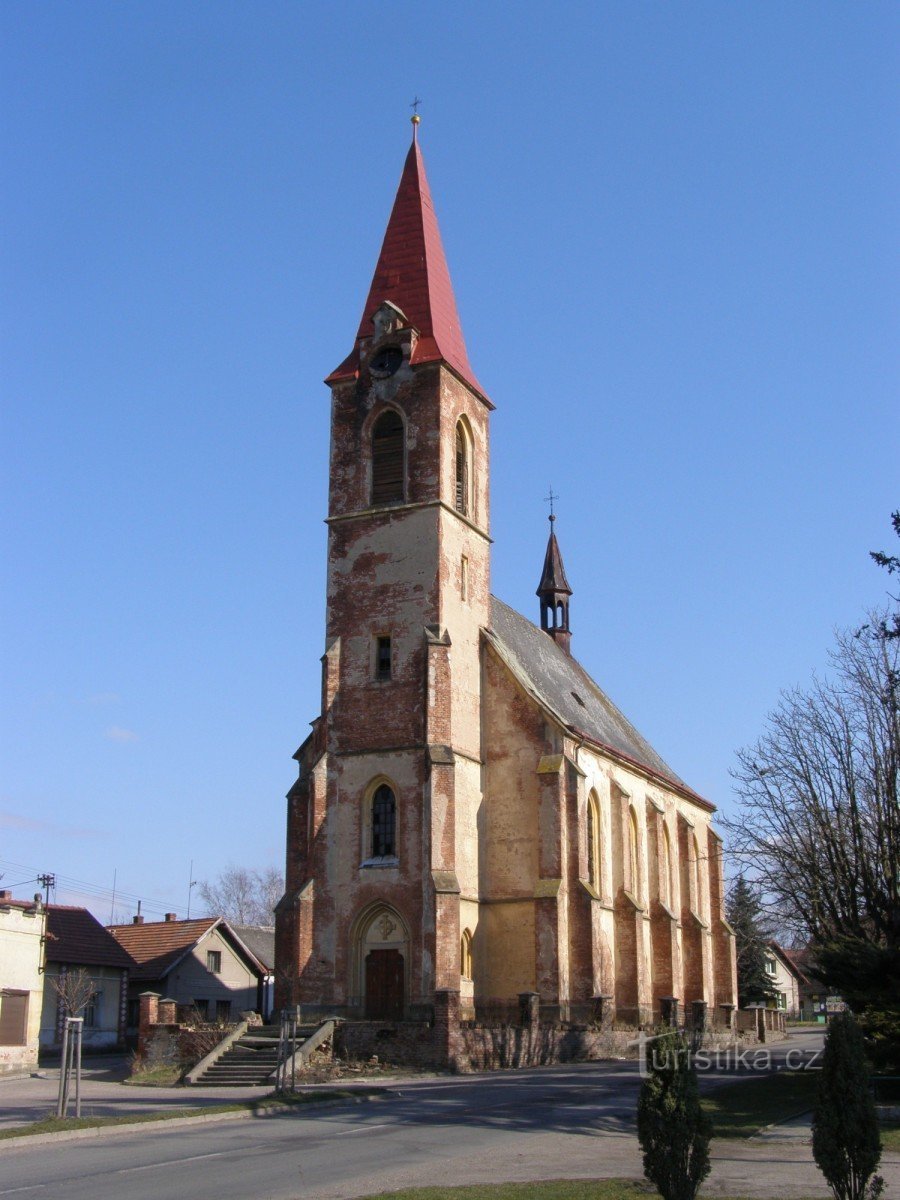
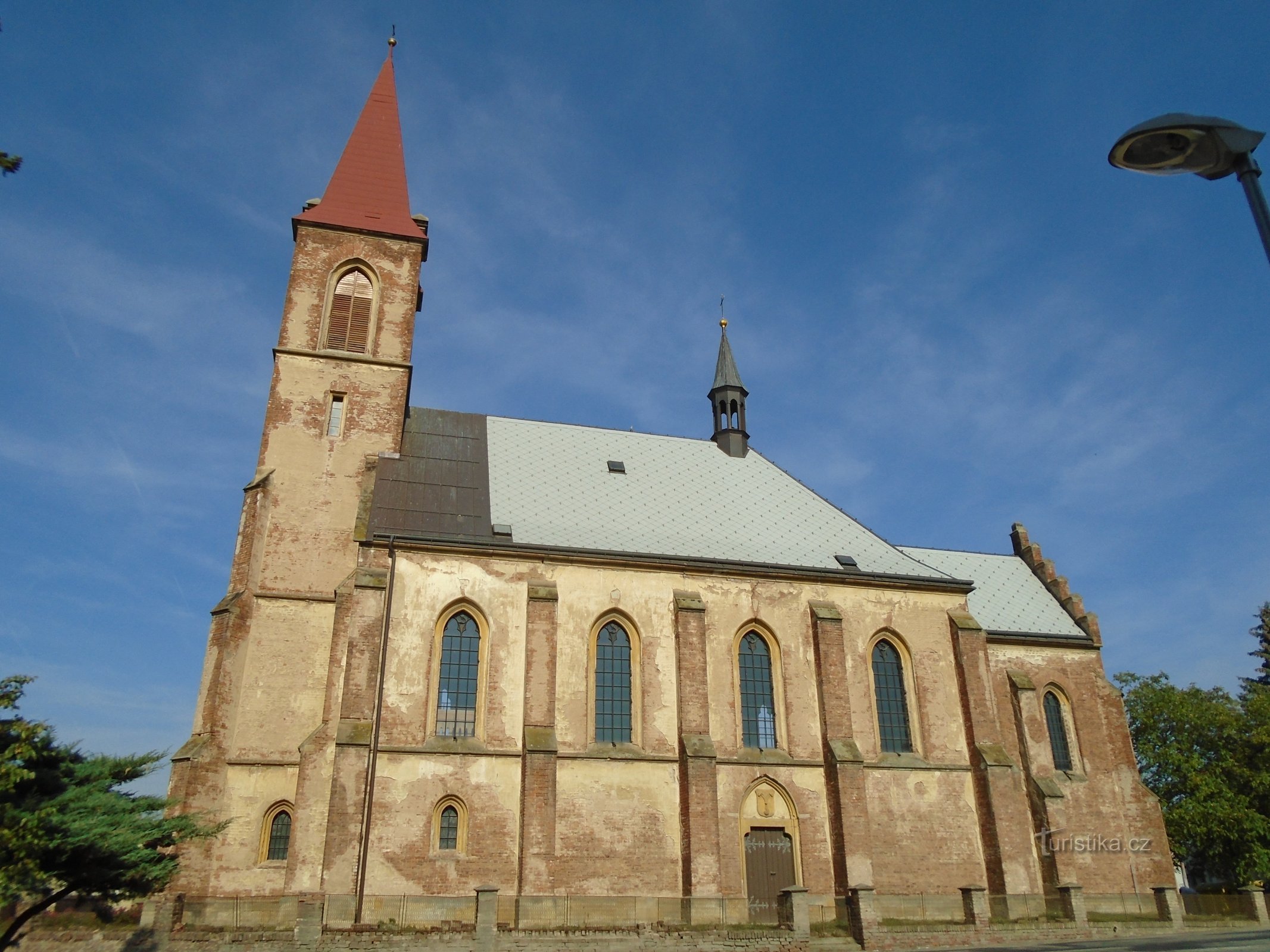
- Nechanice
- Don't screw it up
- New Direct
- Ostrov
- Petrovice
- Petrovichka
- Sub likes
- Popovice
- Powder
- Probluse
- Egg rolls
- Radíkovice
- Radostov
- Rasin
- Tree frog
- Disbursement
- The grunts
- Orchard
- Rock
- Selfish
- Soviet women
- Old Nechanice
- Complaints
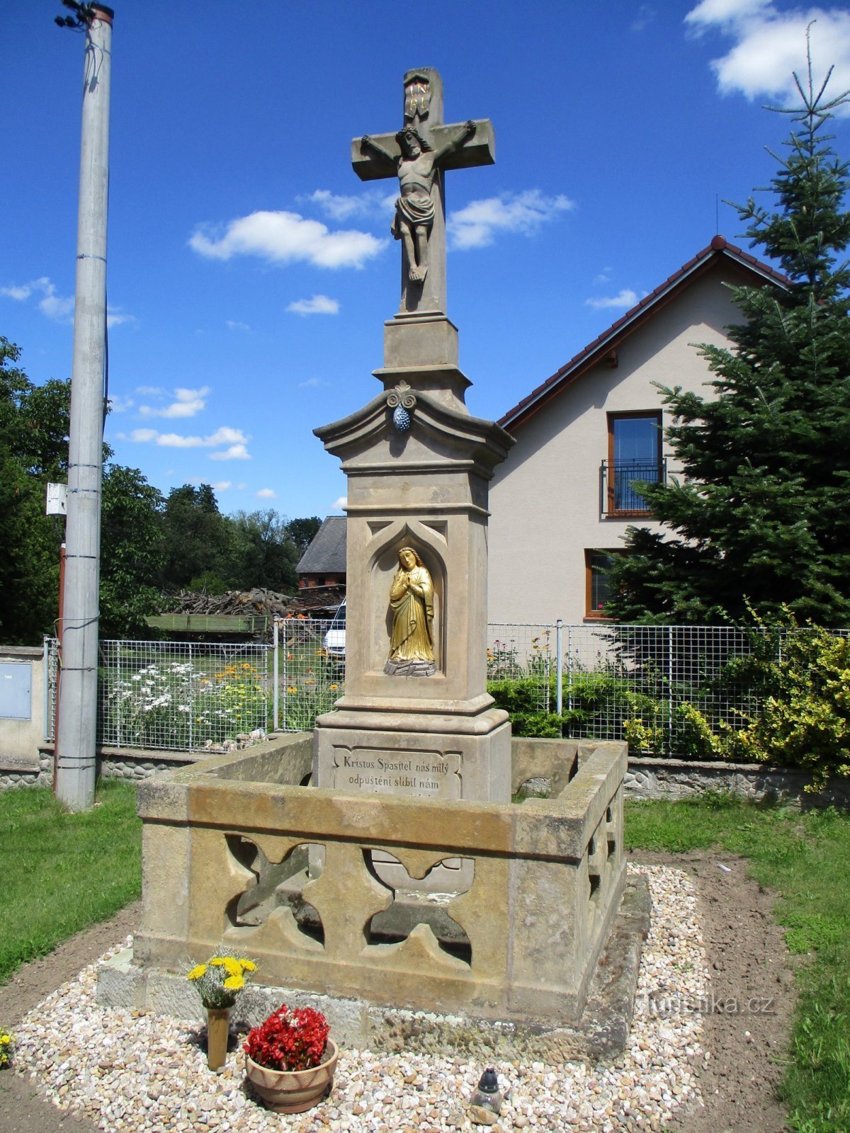
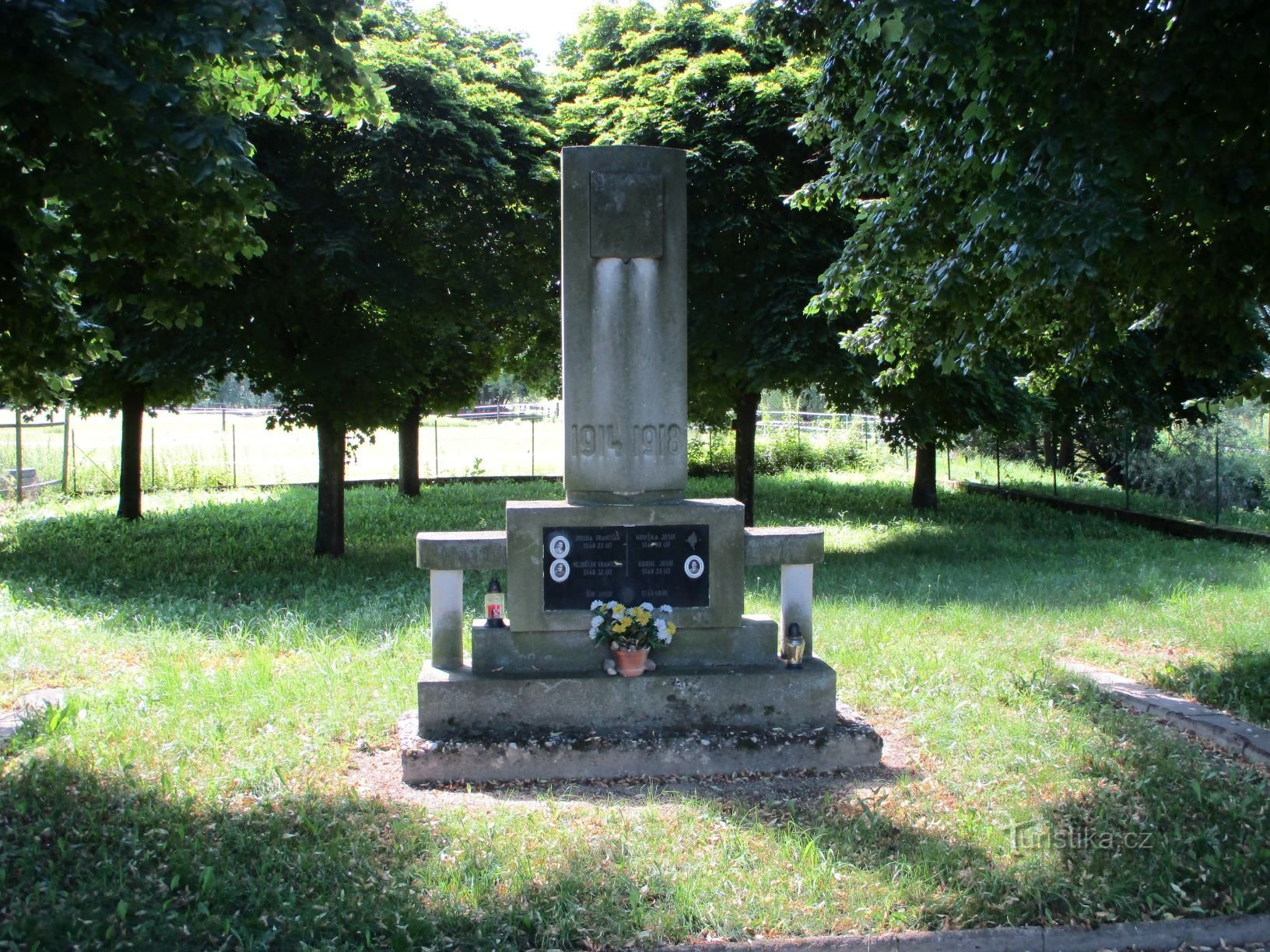
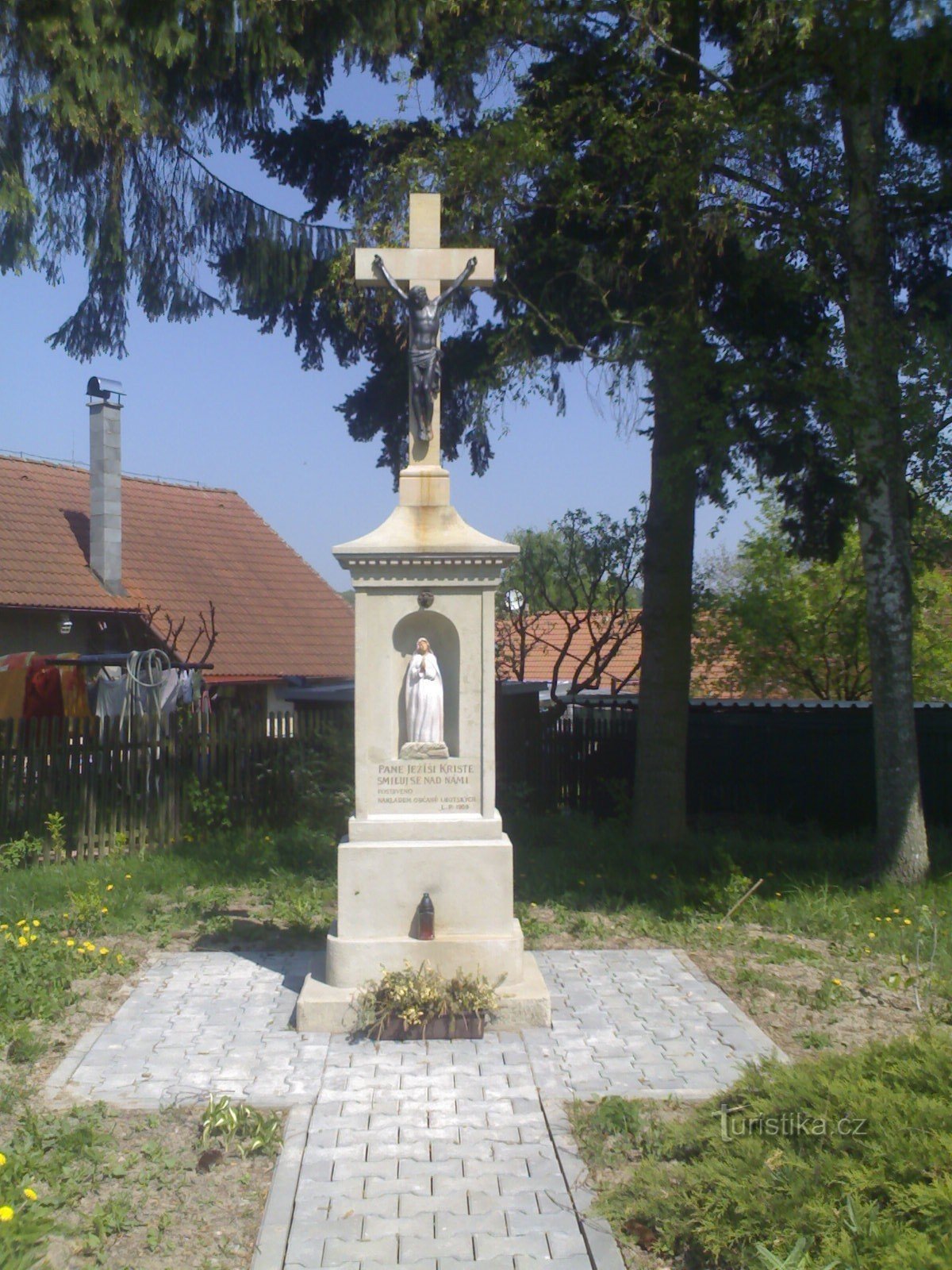
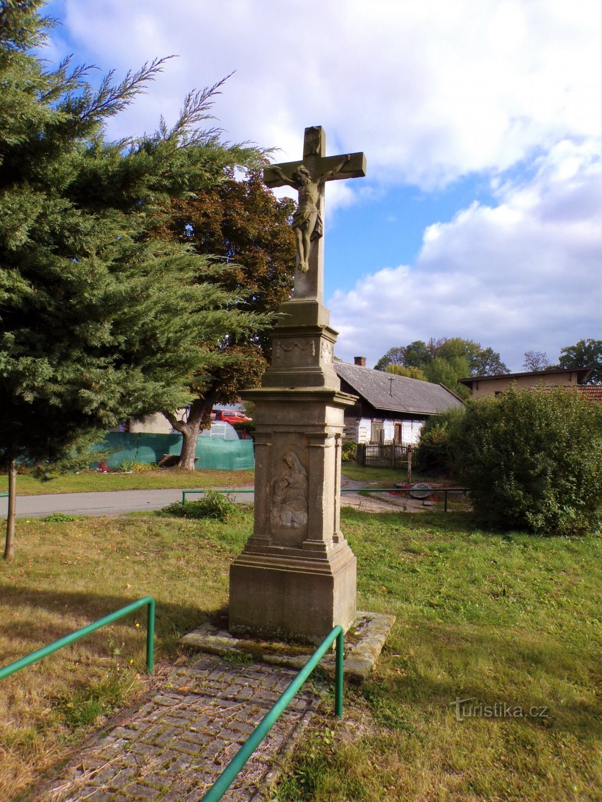
- Stračov
- Stračovská Lhota
- Stewardess
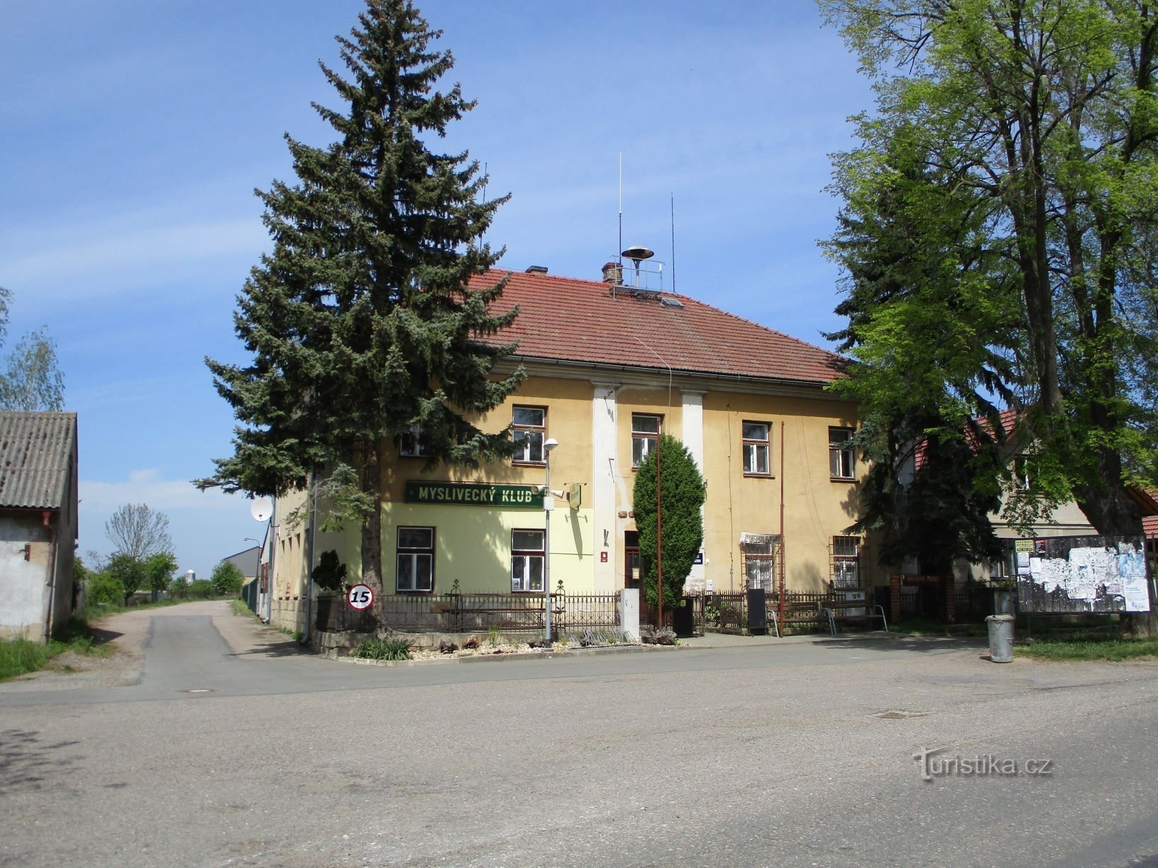
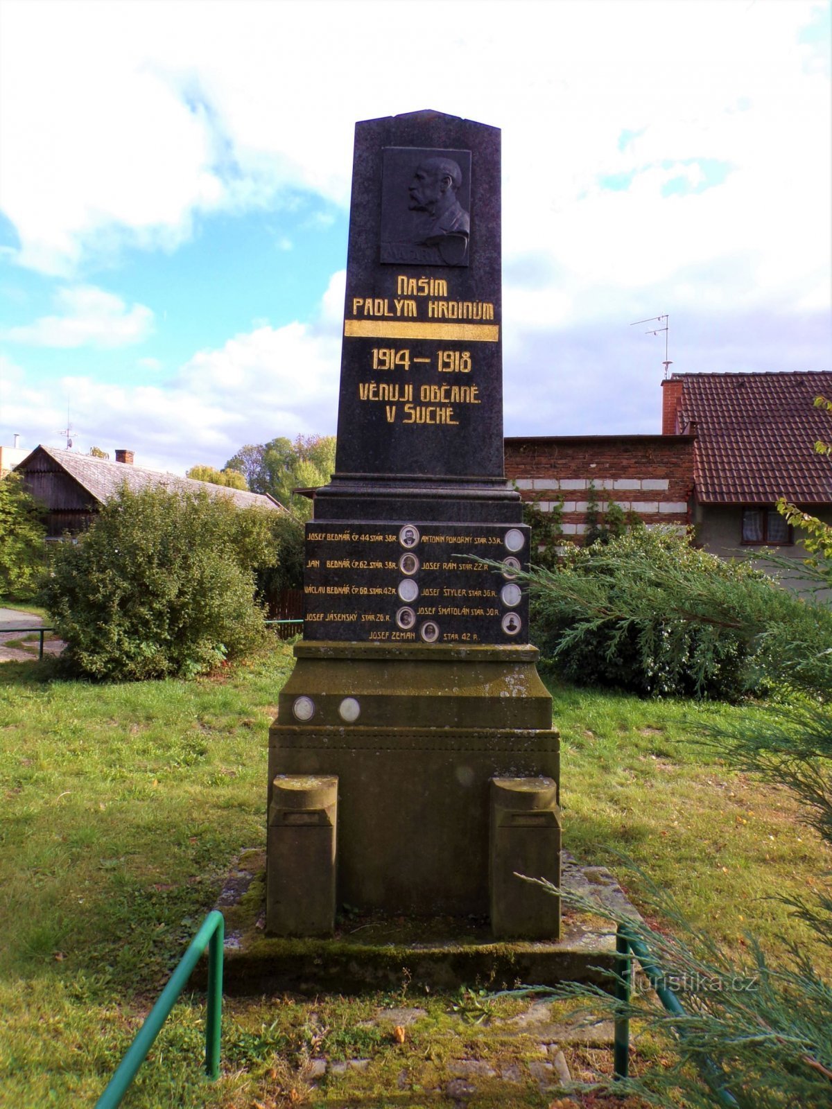
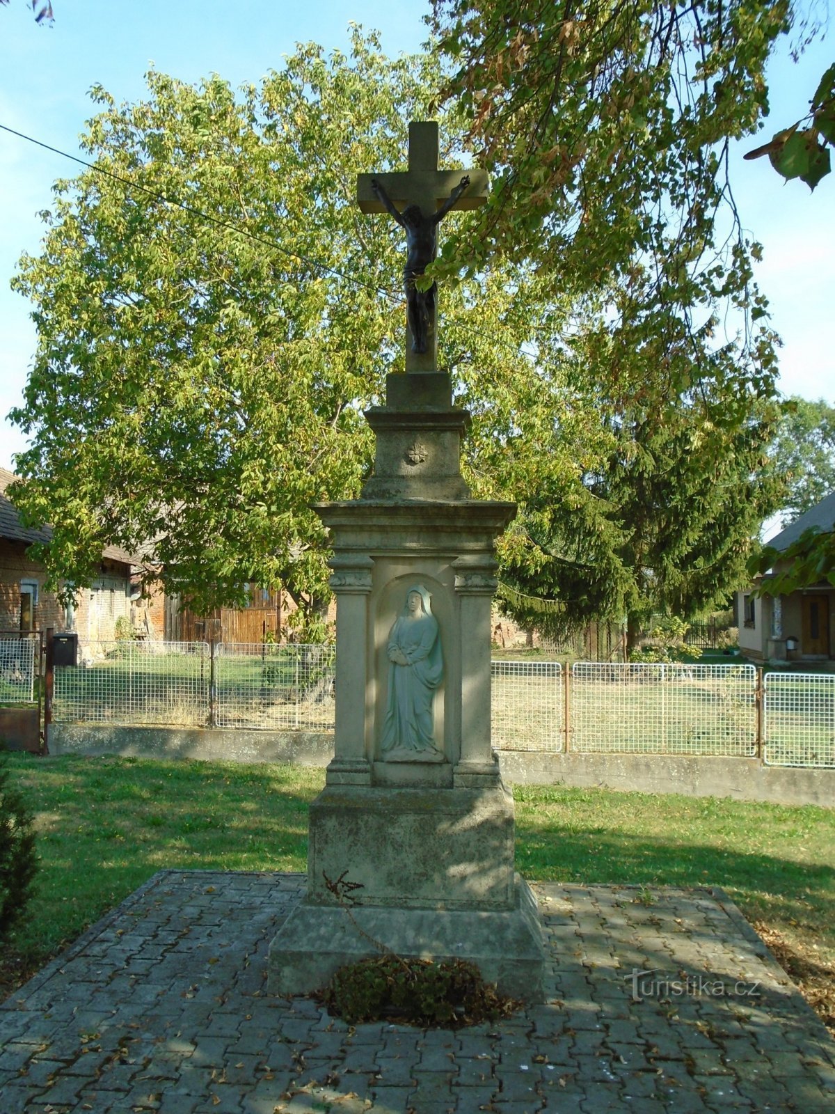
- Dry
- By the way
- Gotthard Lhota
- Sylvárův Újezd
- Shaplava
- Třebnouséves
- Třebovetice
- Třešovice
- The pool
- Vineyard
- Votuz
- High rise
- All old
- Zdechovice
- Zvíkov
- Želkovice
- Žíželeves