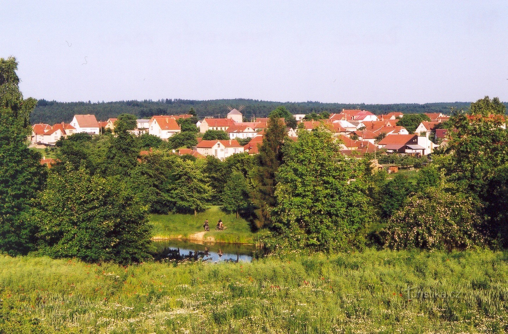
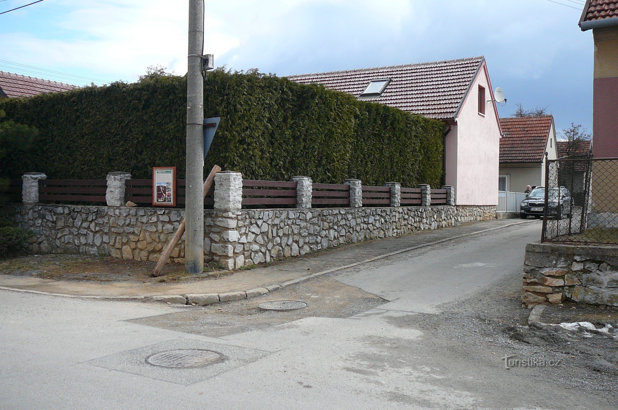
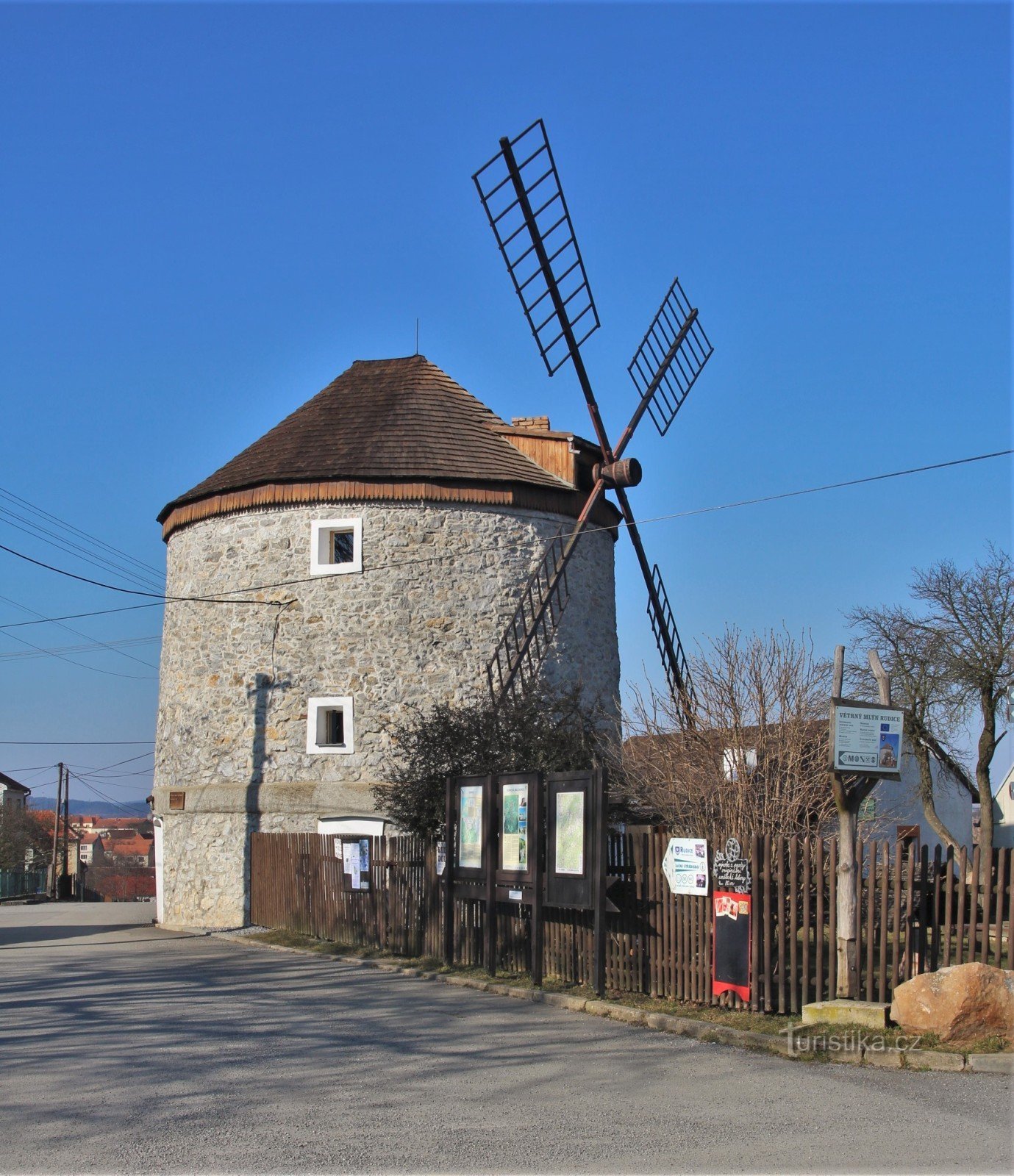
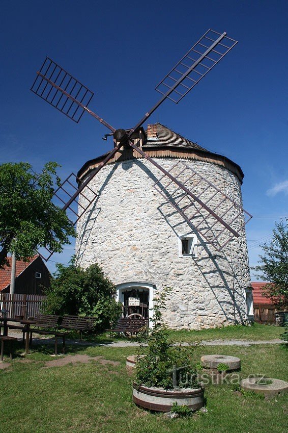
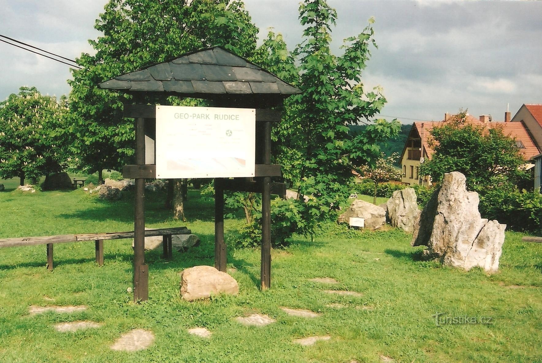
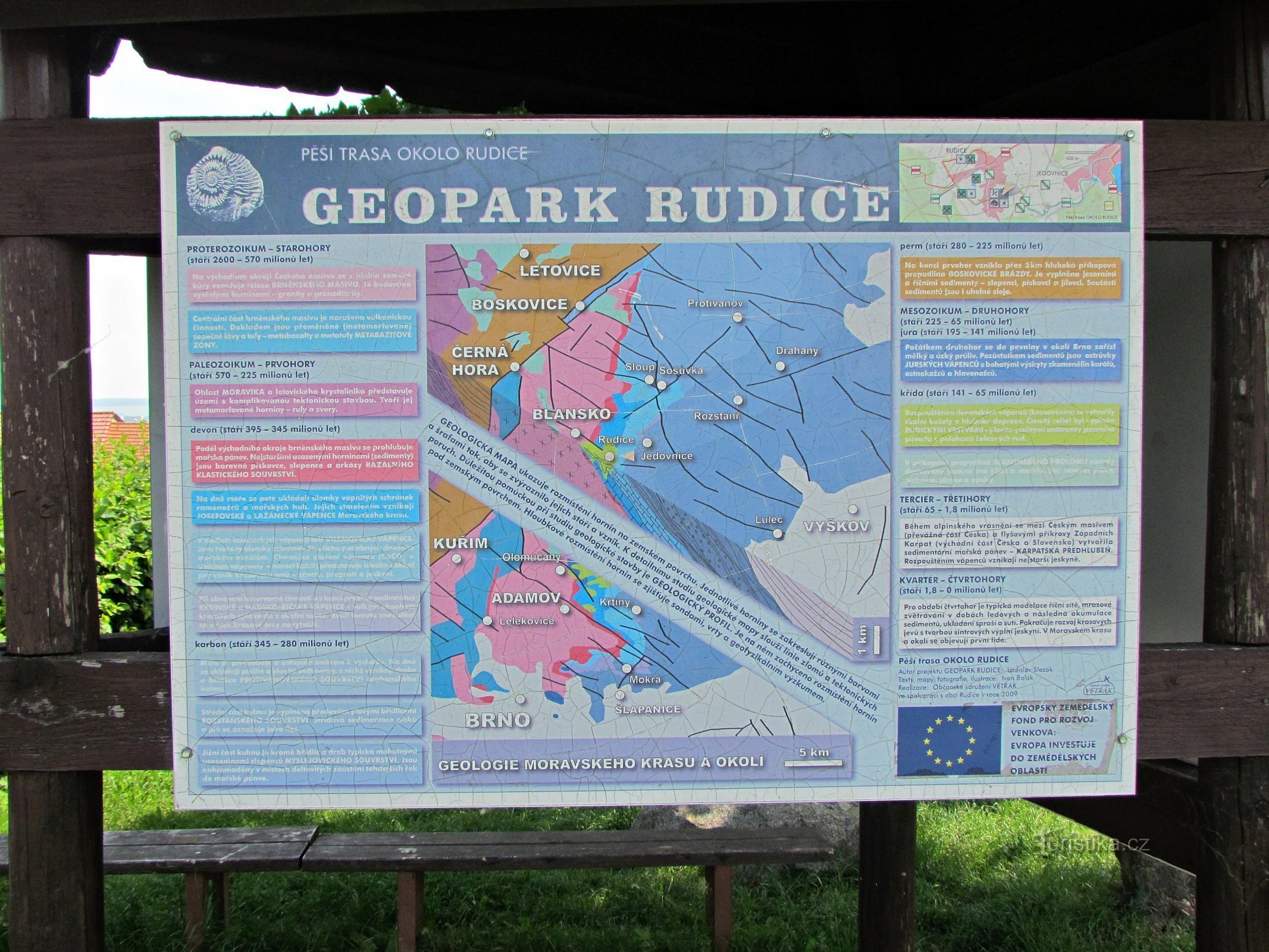
Rudice


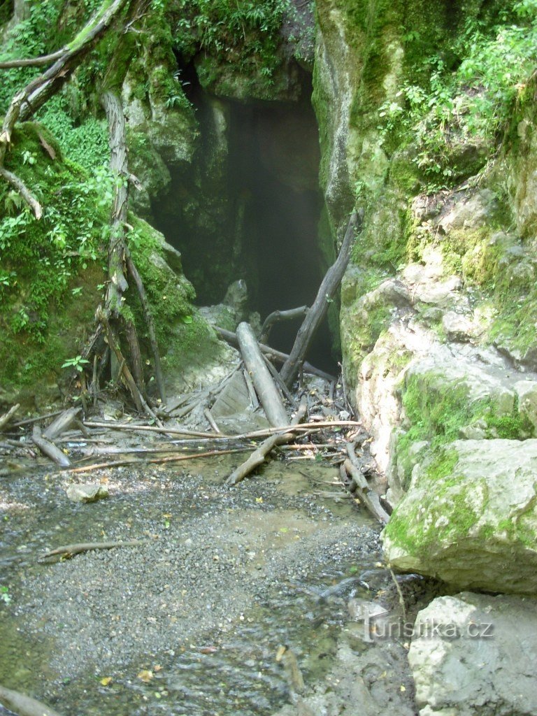
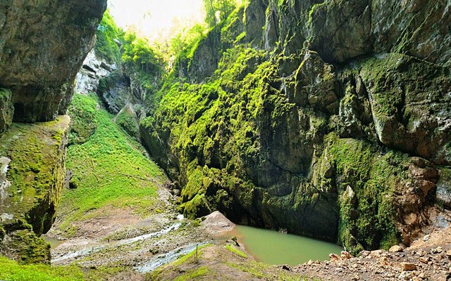
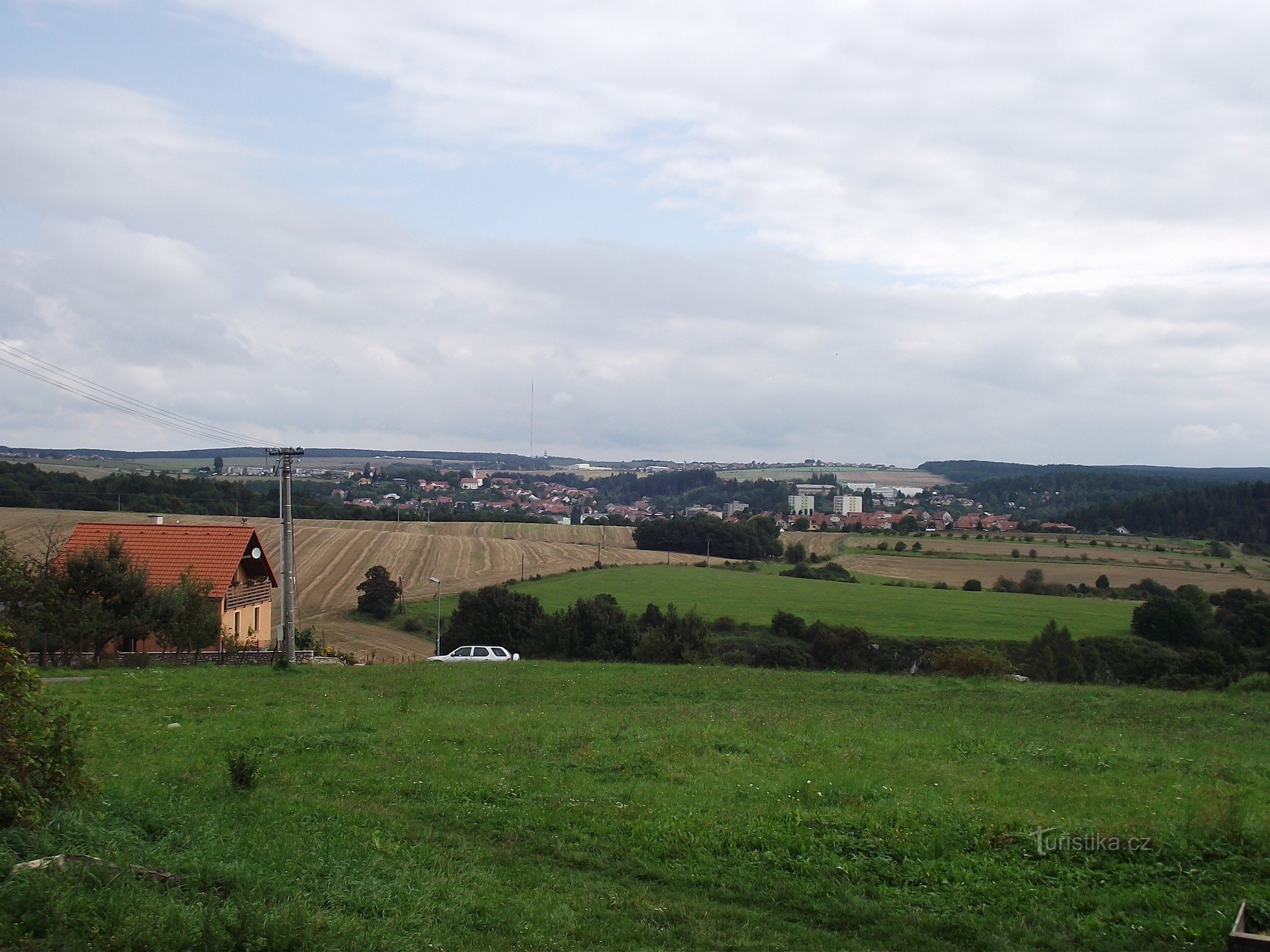
The village of Rudice is located in the central part of the Moravian Karst at an altitude of 480 to 530 m above sea level. they are still reminiscent of local names such as Tumperk, Žegrov, etc.
The first farmers settled in the oldest part of the so-called Dědina, Hájce was home to ironworkers and miners, and Tumperk, as the youngest, was settled only in the 18th century, mainly by workers from Blanes...
The first farmers settled in the oldest part of the so-called Dědina, Hájce was home to ironworkers and miners, and Tumperk, as the youngest, was settled only in the 18th century, mainly by workers from Blanes...
Share this place with friends
Rudice
Other places in the vicinity - Rudice
- Adamov
- Babice nad Svitavou
- blansko
- Beech wood
- Bukovinka
- Czech Republic
- Lower Lhota
- Habrovka
- Holstein
- Upper Lhota
- Hořice
- Jedovnice
- Grouper
- Karolín
- Klepačov near Blansko
- Kotrdovice
- Beauty
- Karsova
- Christening
- Kuliřov
- Lasagna
- Lhotki
- Lipovets
- Marianin
- A bitch
- Walk near Brno
- Olesna
- Olomouc people
- Island near Macocha
- Petrovice
- He'll sleep
- Paradise
- Rudice
- Ruprechtov
- Rhymes
- Senators
- Column
- He was in a hurry
- Dry down
- Saint Catherine
- Šebrov
- Šebrov-Kateřina
- Lentils
- Techov
- Consolation
- Lawrence
- Jamboree
- Vilémovice
- Vranov
- Success