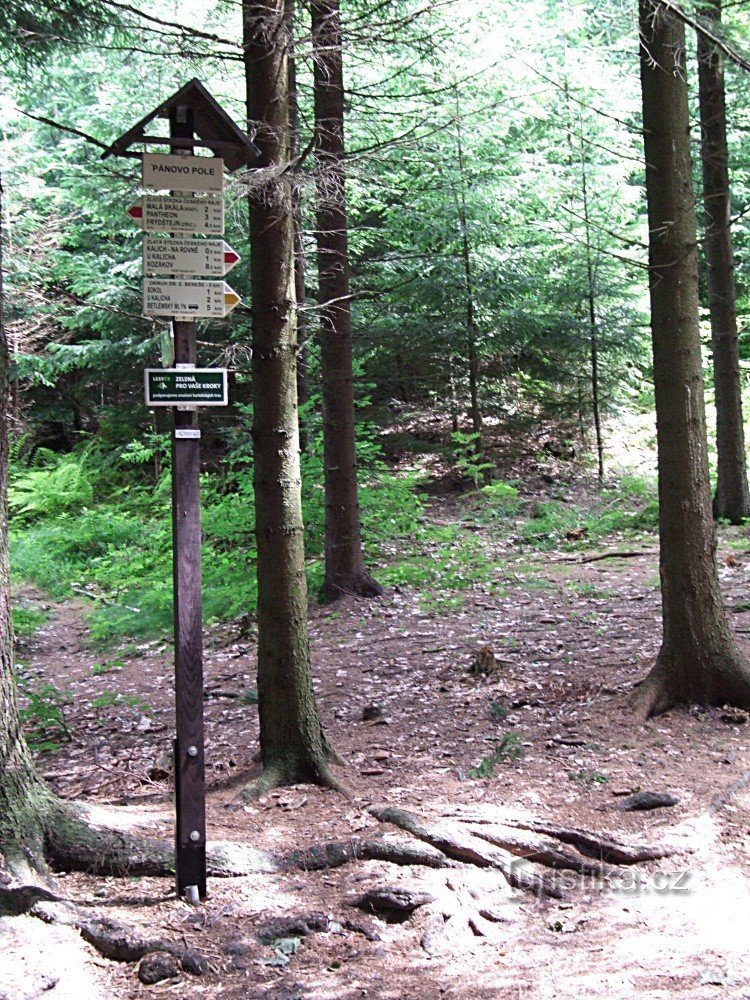
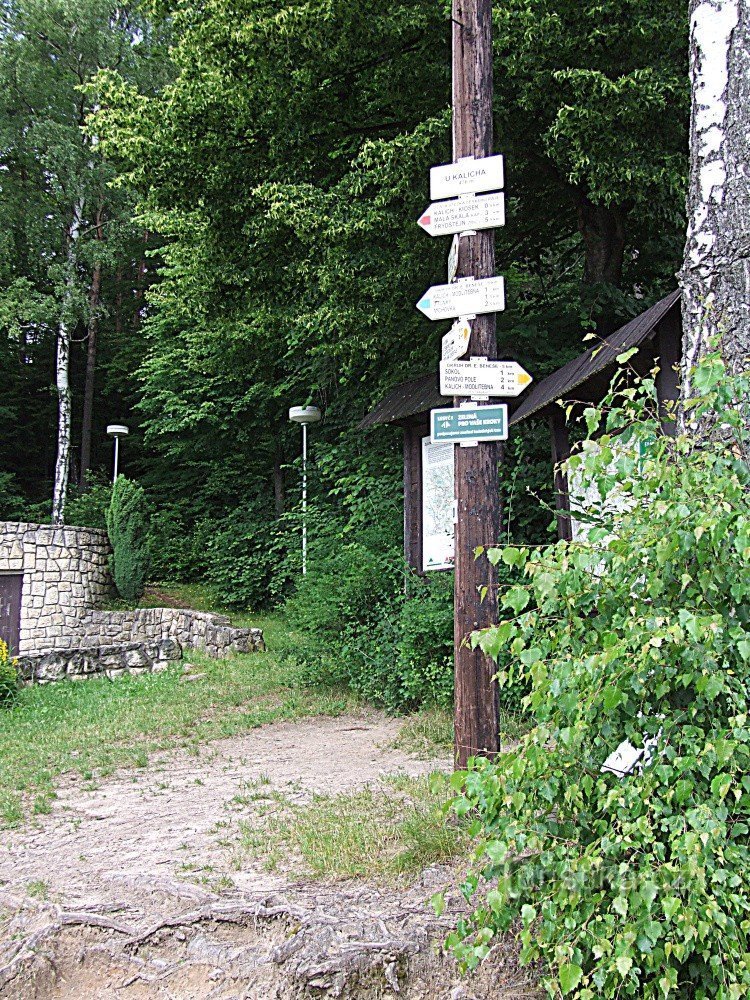
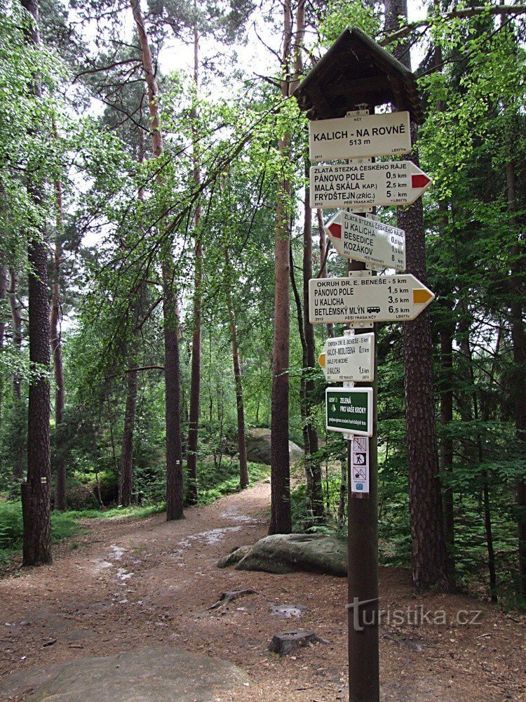
Sokol crossroads


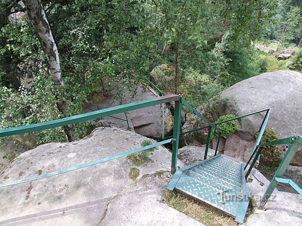
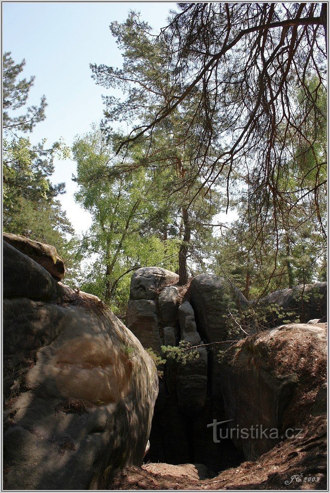
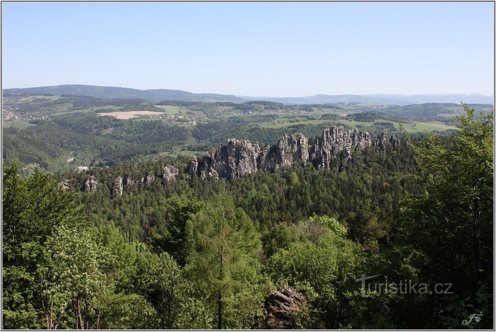
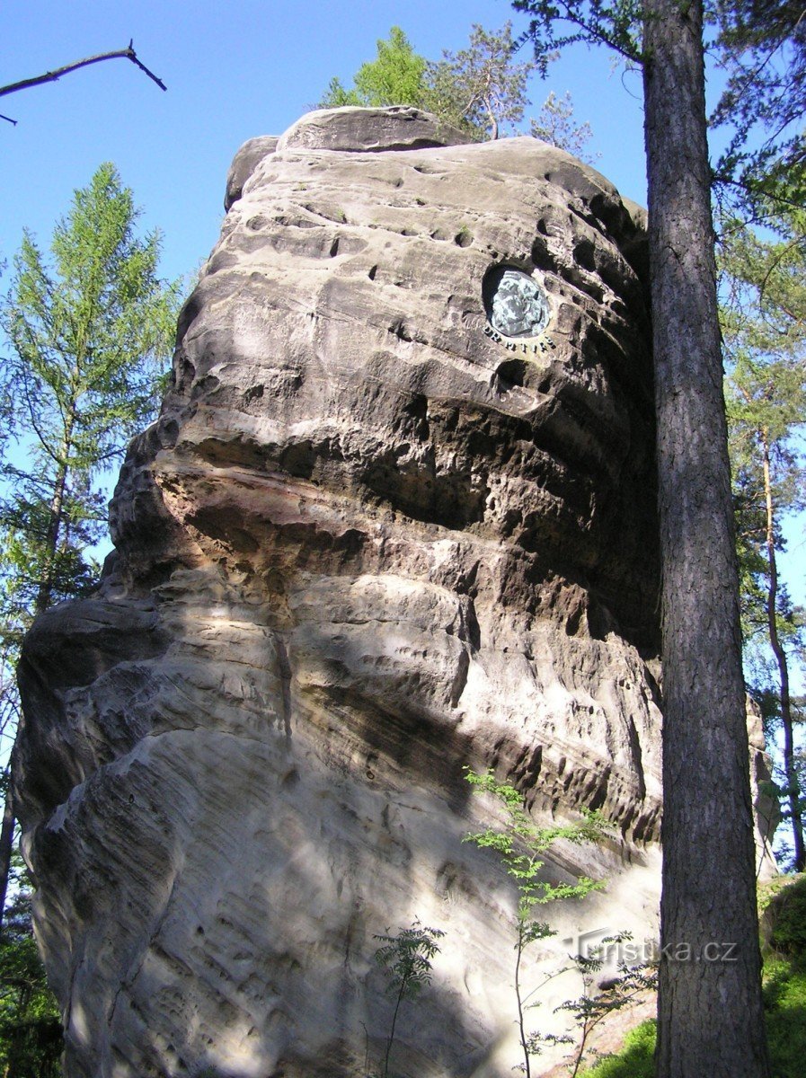
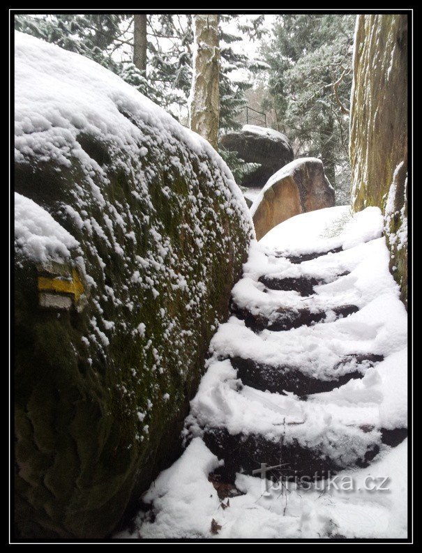
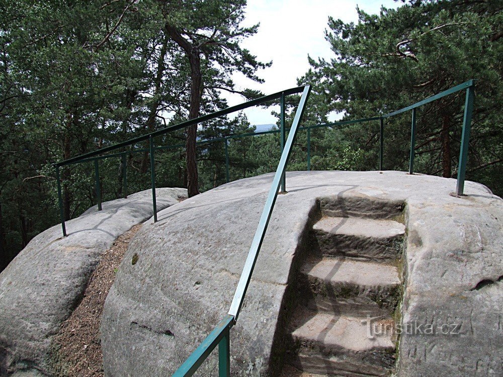
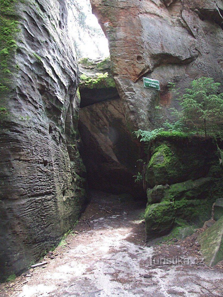
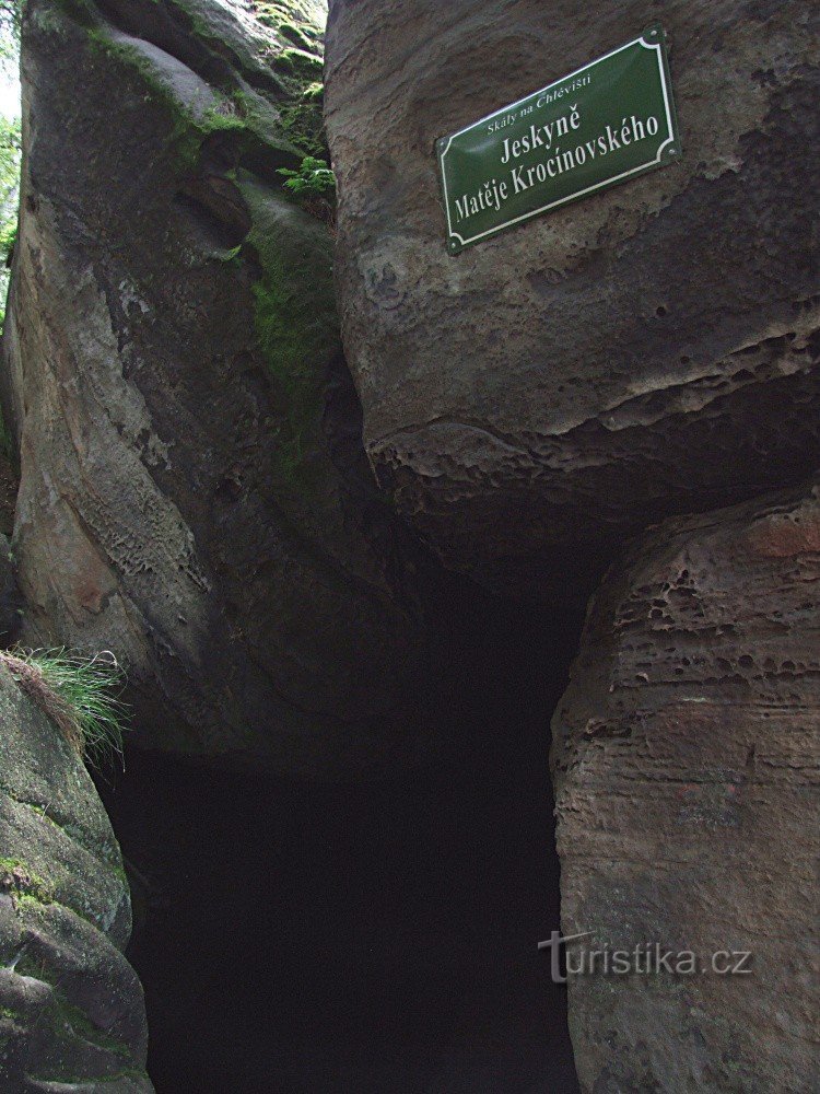
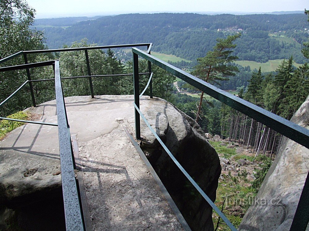
The signpost is located at the top of the Sokol hill (563 m above sea level) right next to the dry rock lookout. A 4,5 km long, yellow-marked tourist circuit passes through here and connects local rock passages and viewpoints. This hiking circuit leading from Besedice via Kalich and Chlévistě was ceremonially opened on September 25, 1935 (then still red-marked) under the name Turistická stezka Dr. Edvard Beneš (today Okruh...
Share this place with friends
Sokol crossroads
Other places in the vicinity - Rozcestí Sokol
- Alšovice
- Guardian Angel
- White
- Sessions
- Bezděčín
- Bobov
- Borek
- Bratříkov
- Beech wood
- Bukovina near Turnov
- It's fine
- Dalešice
- Distance meter
- Long
- Palms near Turnov
- Dubecka
- Frydstejn
- Hamstein
- Bitter
- Horská Kamenice
- Peas
- Rough Heat
- Gross Rohozec
- Huntírov
- Chlistov
- Chloudov
- Chlumek
- Appetizer
- Jenišovice
- Jirkov
- Jistebsko
- Kaskovice
- Klíčnov
- Klokočí
- Kober's
- Grasshopper
- Mosquitoes
- Kopanin
- Kozákov
- Kozákov
- Krasna
- Crosses
- Flowers
- Elbe
- Lestkov
- Libentines
- Lichen
- Loctush
- Meadows
- A bed
- Bathroom
- Little Horka
- Little Rock
- Little Mat
- Michovka
- Mírová pod Kozákov
- Wetlands
- Mukarov
- Odolenovice
- Fence
- Ondříkovice
- Pacerice
- Pelekhov
- Penchin
- Pipes
- Pratkov
- Average
- Beggar
- Tadpole
- Counselor
- Joyful under Kozákov
- Austria
- Rohiny
- Roudný near Frýdštejn
- Rychnov near Jablonec nad Nisou
- Sekerkovy Loučky
- Nestroňovice
- Skuhrov
- Tide
- He snorts
- He snorts
- Snowman
- Slide
- Stebno
- Fierce
- Right now
- Tournament
- Vascular man
- Village
- Festivity
- Waterworks
- Vranové 1.díl
- Vranové 2.díl
- Return
- They're taking over
- Zahorie
- Zbirohs
- Žďárek
- Gel
- Zelezny Brod