Through Bobík to the highest pond and to the highest mountain in the Šumava foothills


Reviews
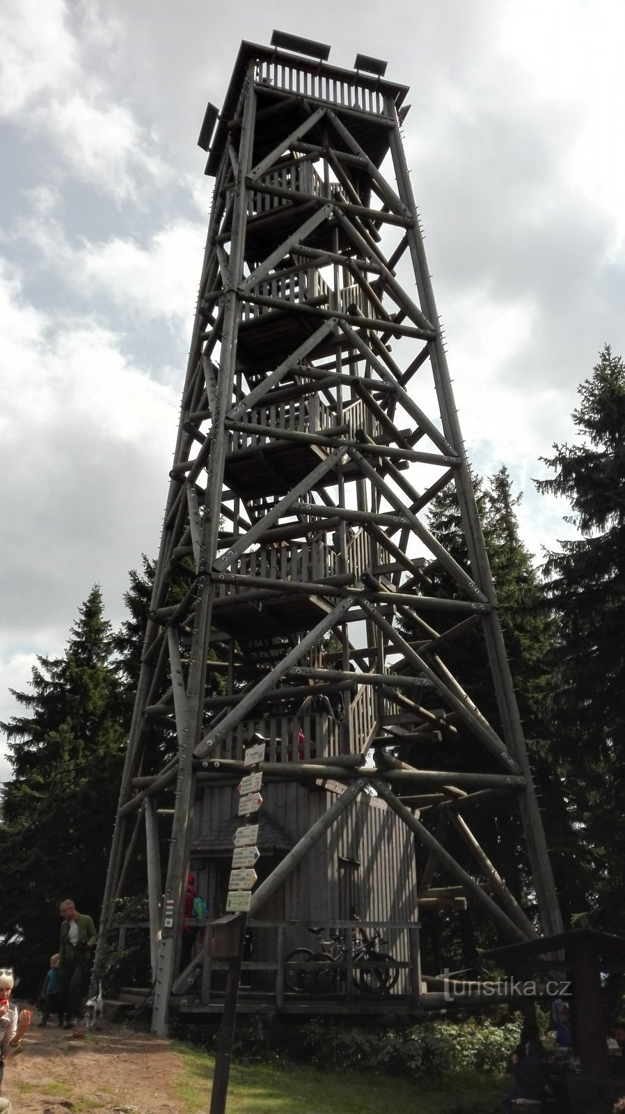
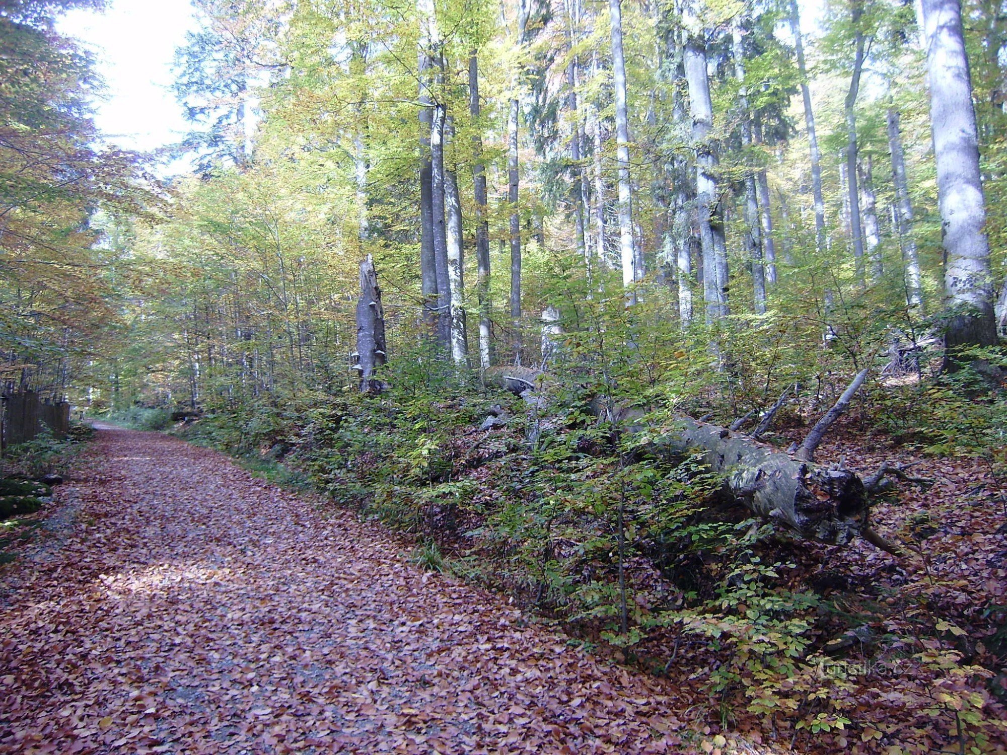
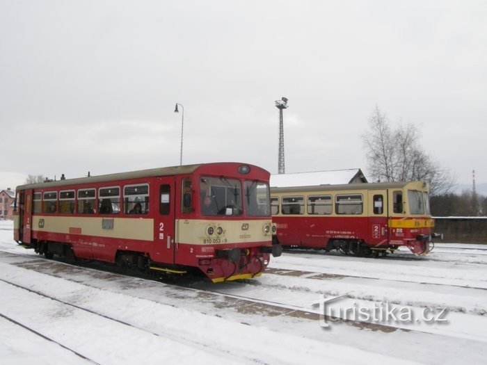
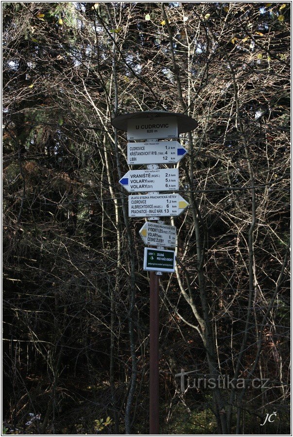
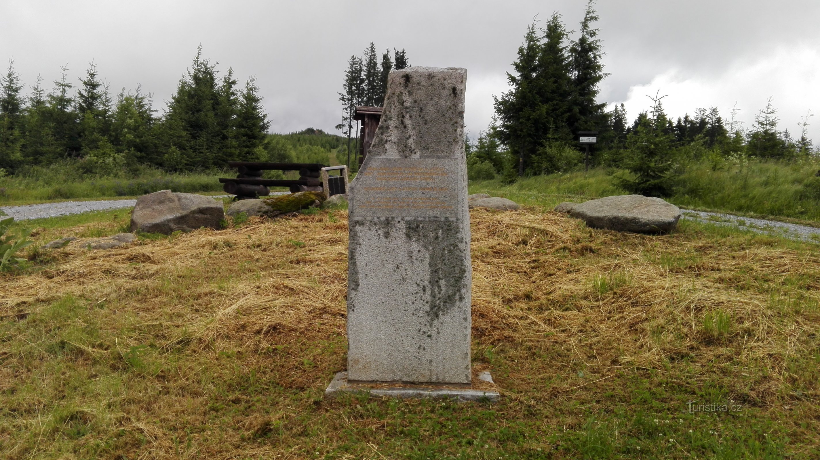
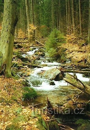
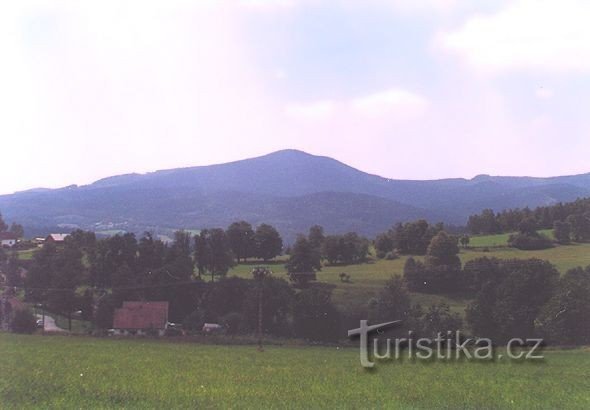
Starting point: Zátoň railway station (line no. 198 Strakonice - Volary) End point: Rohanov railway station (line no. 197 Číčenice - Volary) Route length: 32,5 km We will start the trip at the station in Záton, from where we will take the blue TZ on the saddle under Bobík. Here we exchange the blue TZ for a red one, after which we head right and reach the junction. below Bobík, here we turn following the significant sign to the top of Bobík 1264.3...
Share this place with friends
Through Bobík to the highest pond and to the highest mountain in the Šumava foothills
Other places in the vicinity - Through Bobík to the highest pond and to the highest mountain in the Šumava foothills
- Arnoštka
- Blažejovice
- Birch Lada
- Beech
- Czech Žleby
- Good
- Loud Lhota
- Clay pit
- Upper Vltavice
- Upper Záblatí
- She's a bitch
- Chlistov
- Praise
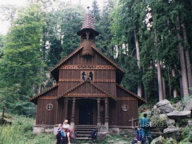
- Chapel
- Korkusova Huť
- Spicy
- Dressmaker
- Křišťanovice
- Kubova Huť
- Lenora
- Mlynářovice
- polka
- Crayfish
- Eyelashes
- Repešin
- Saladin
- Slatina
- Solna Lhota
- Stögro's Huť
- Watchman
- I'm suffering
- Včelná pod Boubín
- Veselka
- Wolf Pits
- Volary
- Muddy
- Sink in
- Menagerie
- Grooves