Park Na Špici in Pardubice
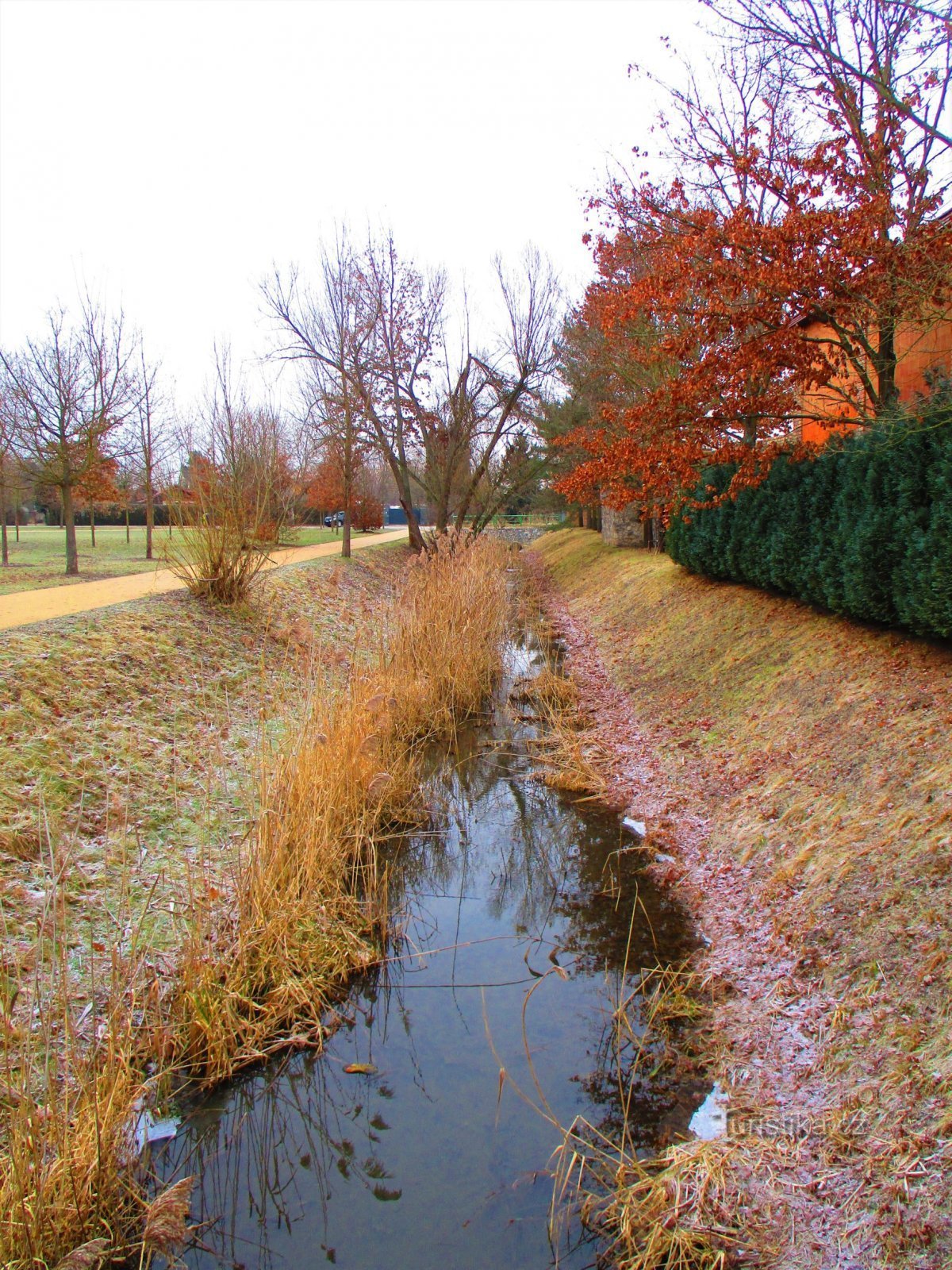
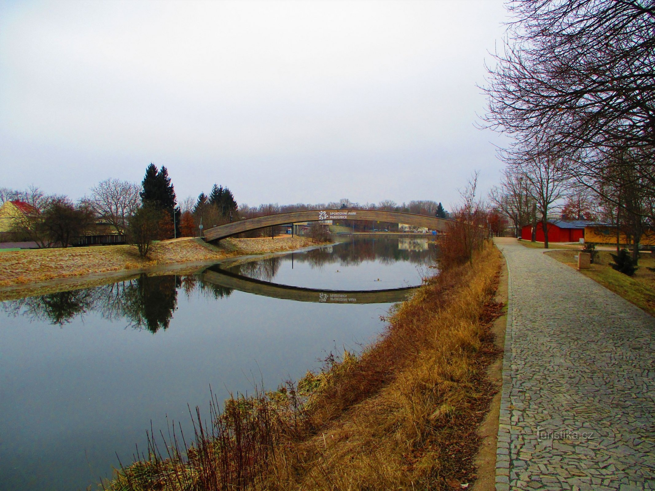

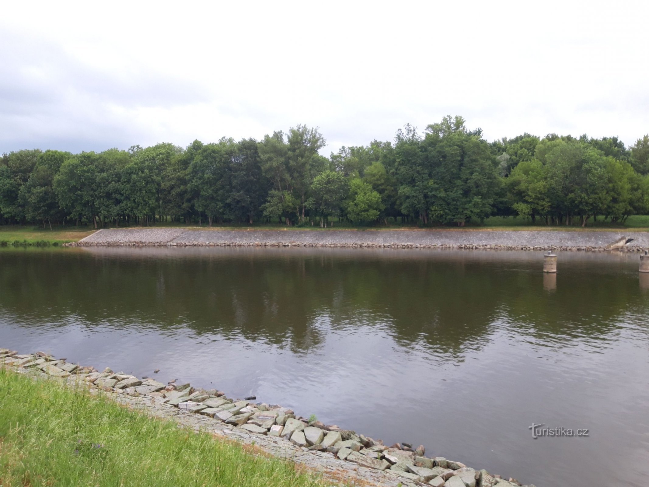
Originally, these places were farmed as fields and pastures, as we can see for example from the indicative sketch of the stable cadastre from 1839 by Adjunct 2nd Class Aron Anton and Surveyors 4th Class Carl Schwarz and Anton Calvas. This changed with the construction of the Elbe lock, when the level of the Elbe rose by several meters and this locality became a flood zone, and part of the meandering Elbe became closed off...
Share this place with friends
Park Na Špici in Pardubice
Other places in the vicinity - Park Na Špici in Pardubice
- barchov
- White Suburbs
- Mud
- God bless you
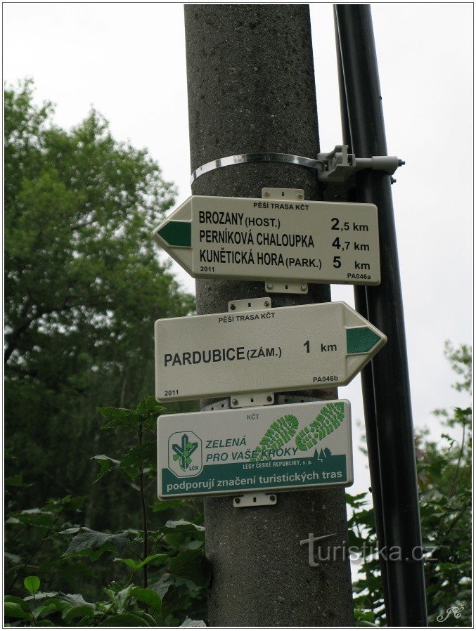
- Brozans
- Bukovina nad Labem
- Brickyard
- times
- The caper
- He's pinning
- Black near Bohdanč
- Black for Bory
- Dašice
- Old man
- Dolan
- Doubravice
- Dražkov
- Dražkovice
- Thrush
- Drenice
- Dritter
- Dubany
- Hostess
- Castle
- Hradiště na Písek
- Tomb
- Want to
- Jezborice
- Beam
- Bones
- Kunetica
- Ropes on Důlku
- Lany near Dašice
- Lázně Bohdaneč
- Onion shop
- Malolanska
- Honeysuckle
- Mikulovice
- Mnetice
- German woman
- Infirmities
- New Jesenčany
- Fence
- An addict
- Thatched roofs
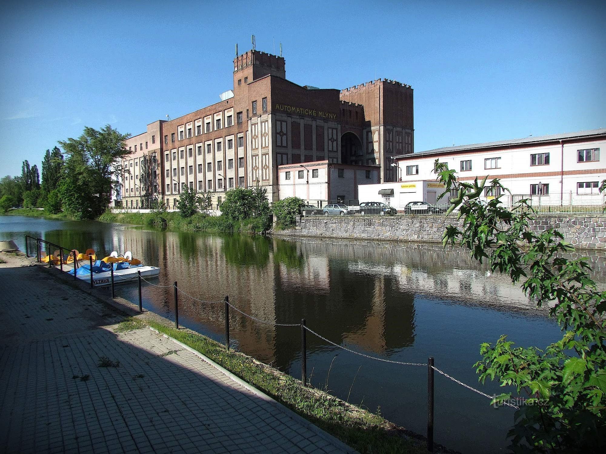
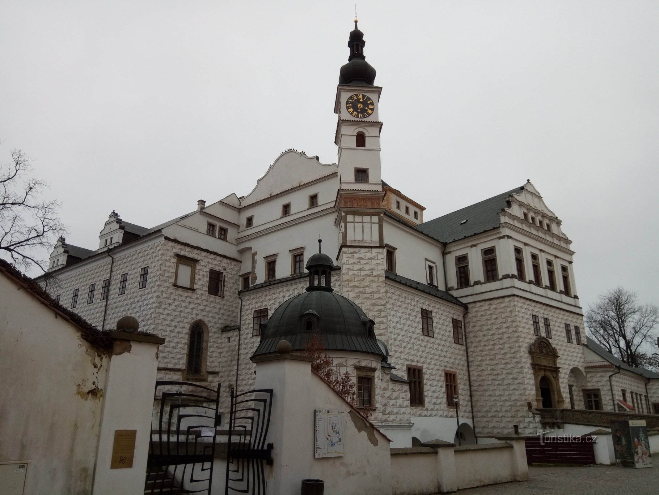
- Pardubice City
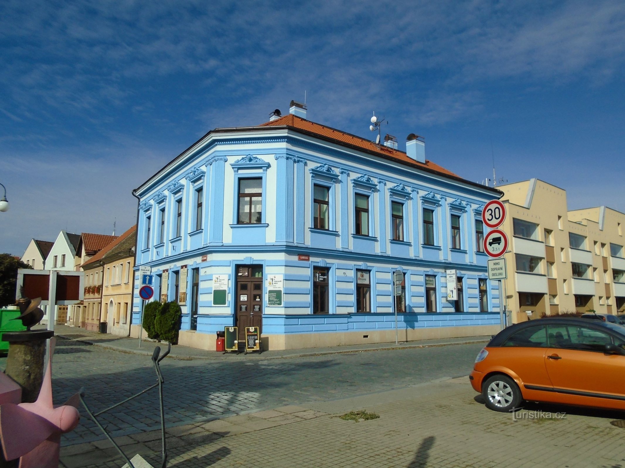
- Pardubice-Old Town
- Pardubice girls
- They caught it
- Under the Oak
- Podolšany
- Pohranov
- Polabiny
- Popcorn
- Rabies
- The dew
- Rozhovice
- Fisheries
- Sixteen
- Potatoes
- He connected
- Srch
- Roe eaters
- Old Chivice
- Staré Hradiště
- Old Jesenčany
- Old Ždánice
- Old Montenegro
- Old Mateřov
- Stéblová
- Spring
- Svitkov
- Trnova
- Trebosice
- Tummies
- Tuna courses
- Eels
- Hungarian Lhota
- Újezt near Sezemic
- Great Rolling Stones
- Great College
- Village
- Vestec
- Lock
- Pledge
- Green Suburbs
- Mentionable
- Žižín