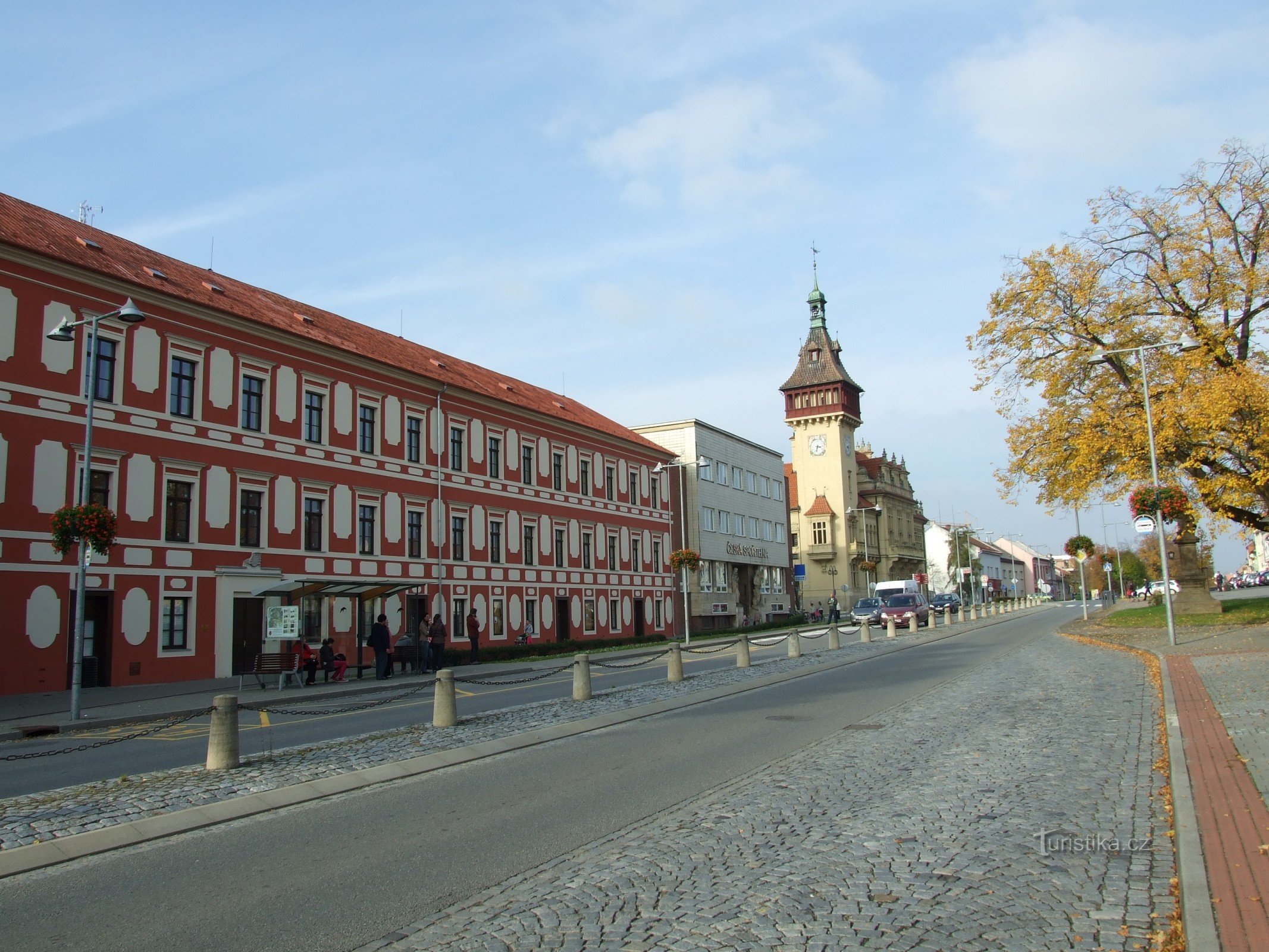
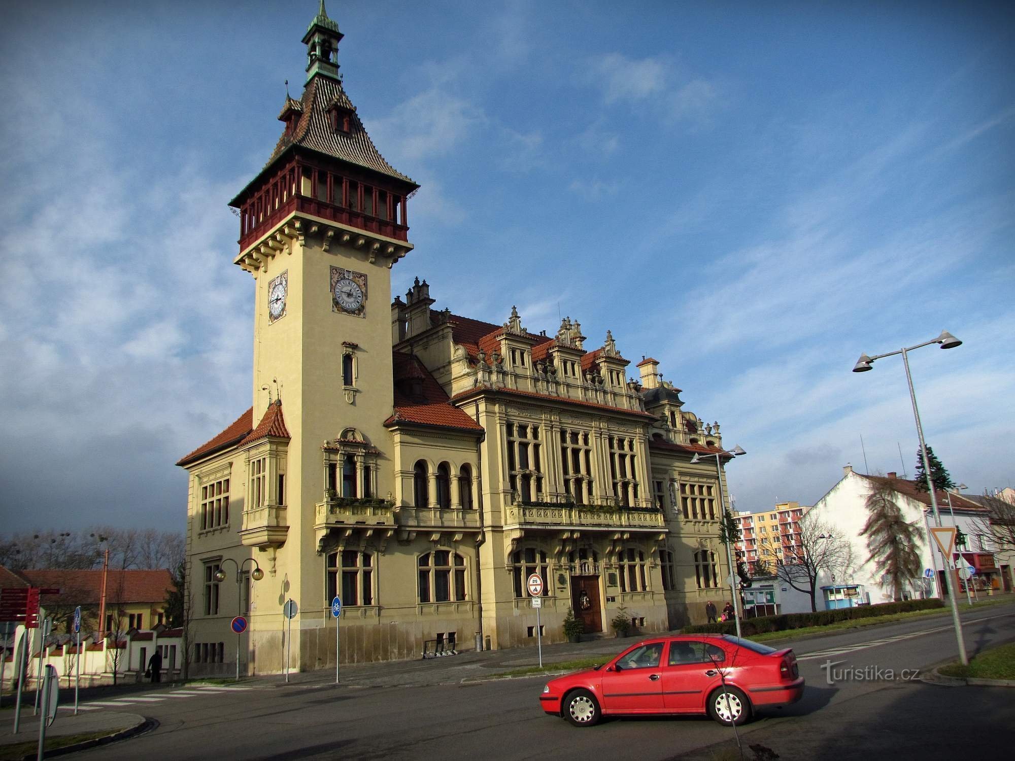
Napajedla - a town located above the left bank of the Moravia


Reviews
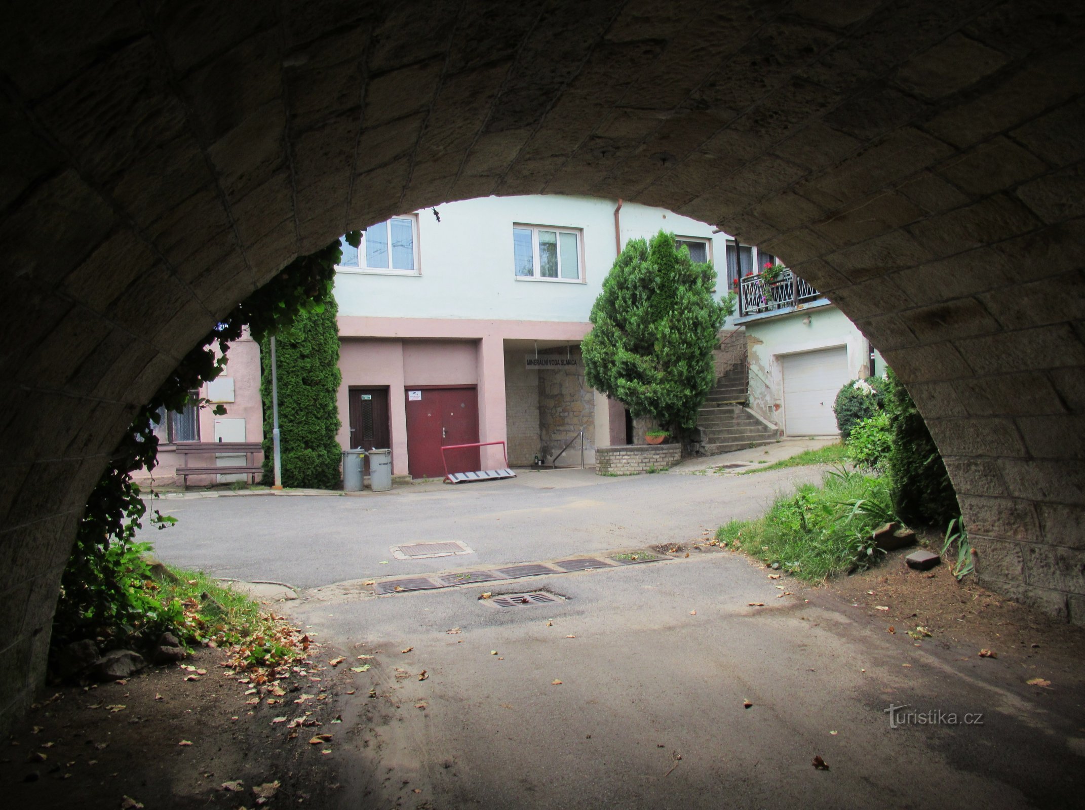
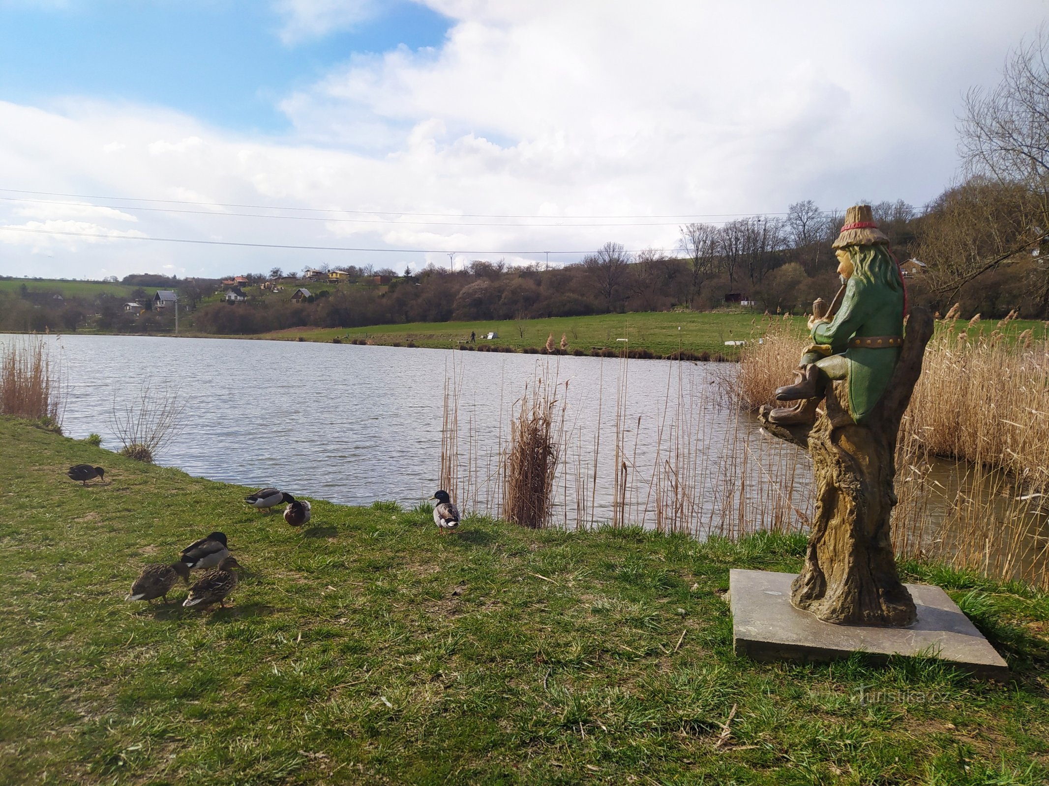
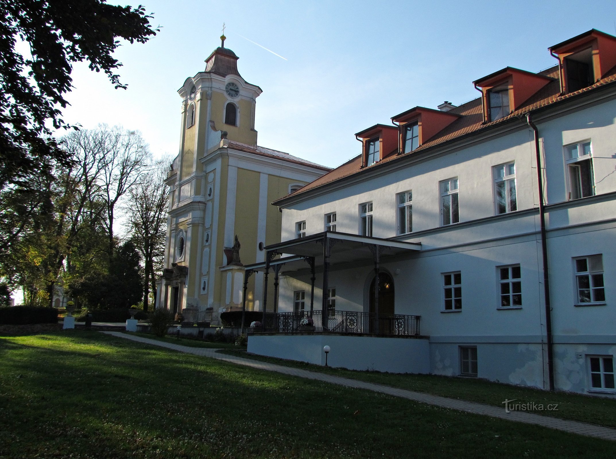
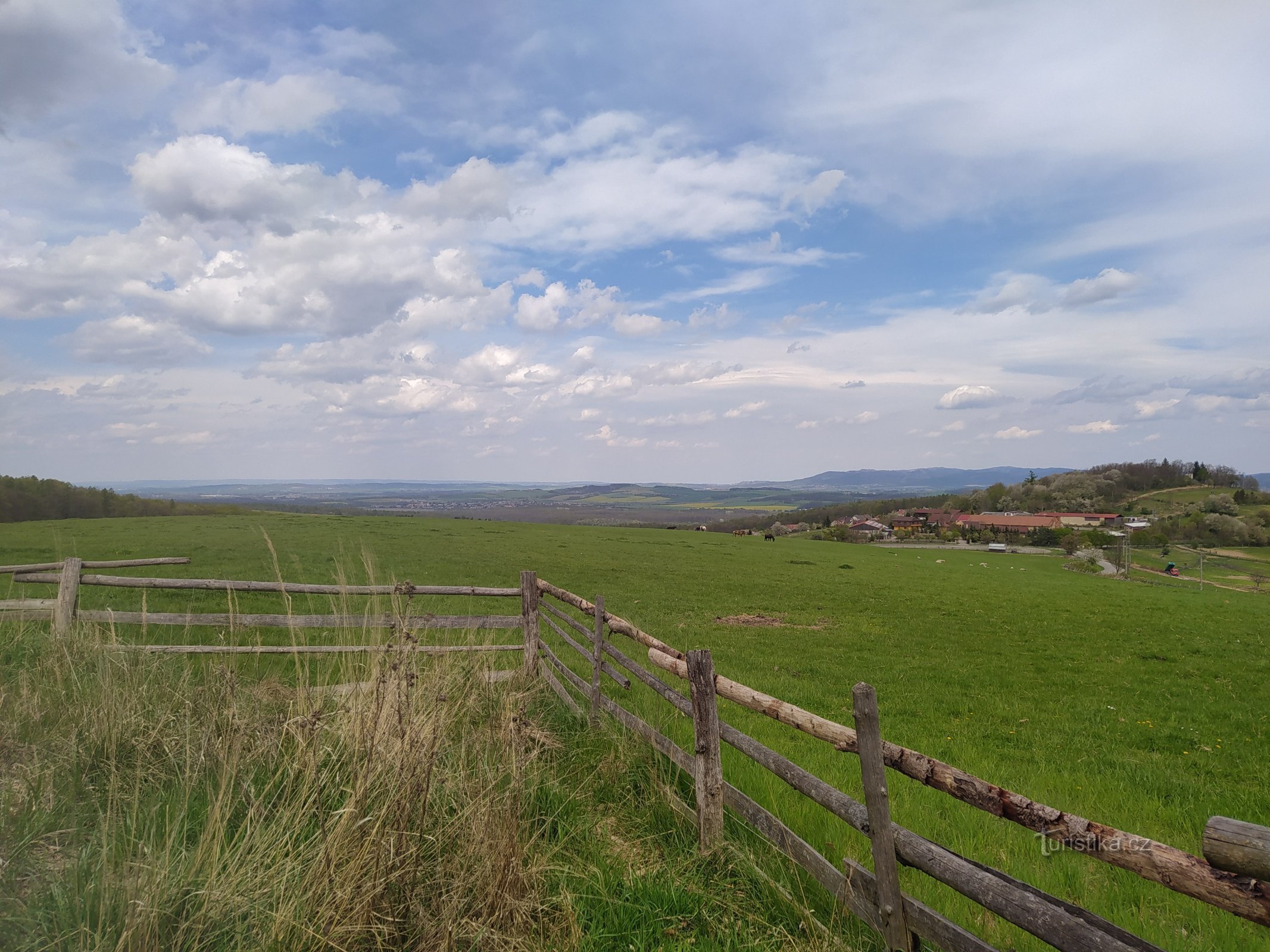
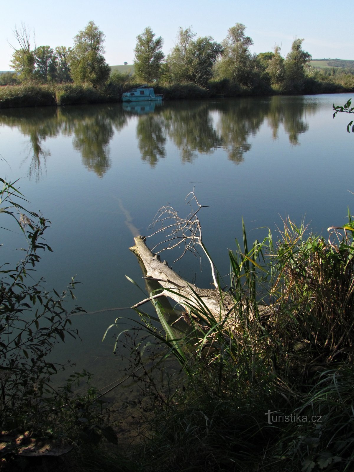
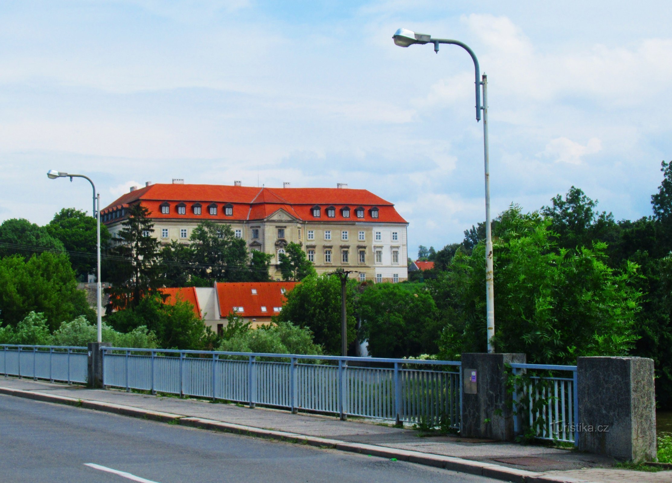
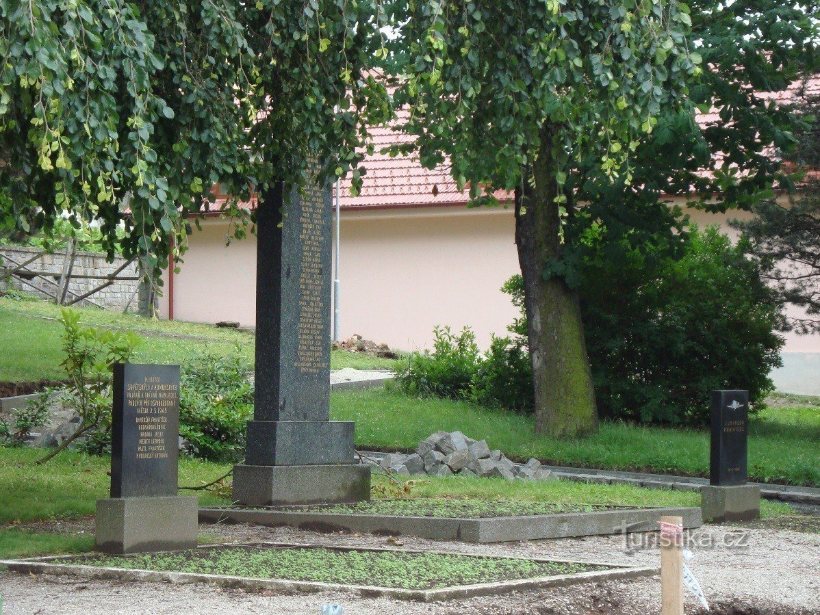
The town of Napajedla is located south of Otrokovice in the narrowest part of the Napajedel Gate, separating the Dolnomoravský and Hornomoravský úval, as well as Chřiby and Vizovické vrchy. The first market settlement was established here in the second half of the 2th century. The watering hole with the castle or fortress was located on a very narrow and long route on an adjacent river island in a place where the ancient trade route from Lower Austria to Hungary,…
Share this place with friends
Napajedla - a town located above the left bank of the Moravia
Other places in the vicinity - Napajedla - a town located above the left bank of the Moravia
- baby
- Belov
- Bilovice
- Bohuslavice near Zlín
- Birch bark
- Blouses
- Huštenovice
- Chlum
- Jalubi
- Jankovice
- Jarosov
- Karlovice
- Karolín
- Knežpole
- Mosquitoes
- Baskets
- Kudlovice
- Yeast
- Flowers
- Lhota
- Lhotka
- Meadows
- Moss
- Malenovice
- She watered
- No breadcrumbs
- New Village
- Oldřichovice
- Otrokovice
- Burns
- Farm
- Sazovice
- Inquisitive anger
- Sulimov
- Susice
- Sharovy
- Tečovice
- Interpreters
- Poplar
- Traplice
- Beekeepers
- Willow
- A broken man
- Jaundice