To Vršava


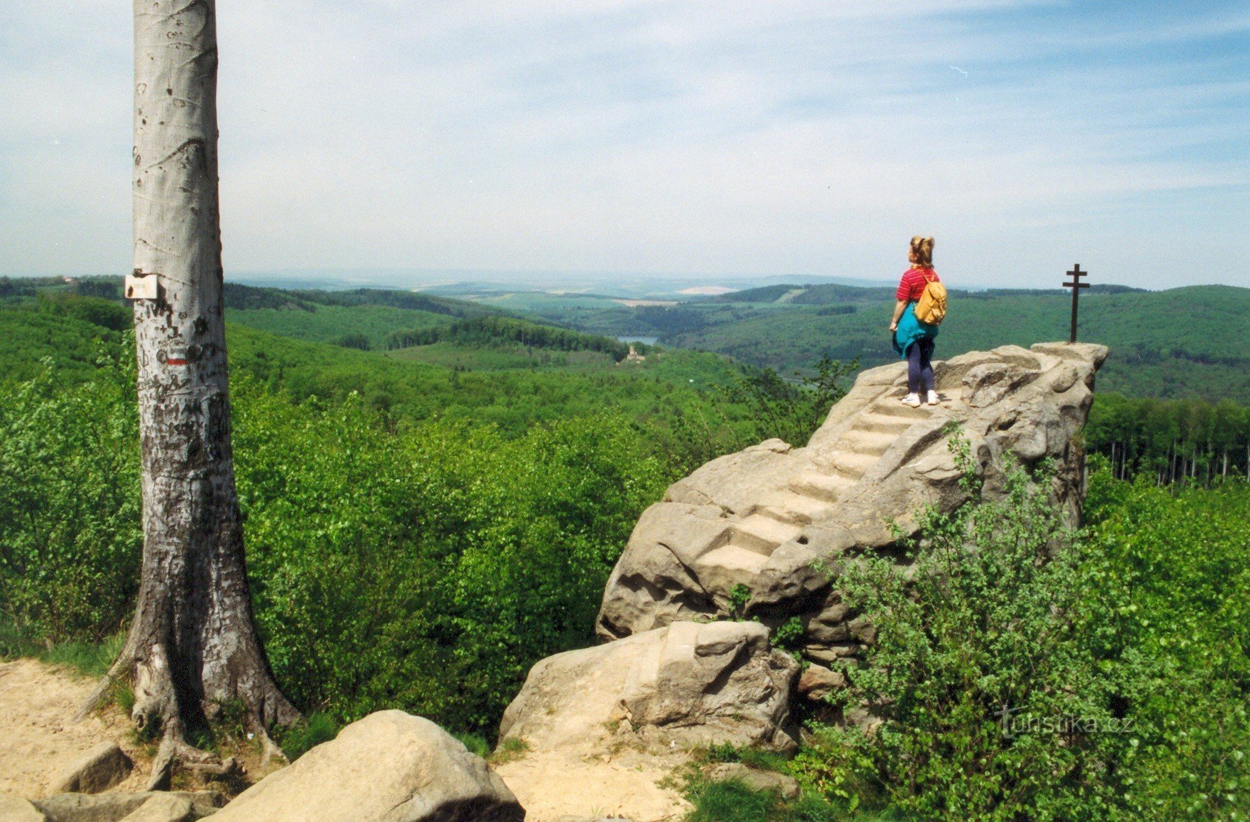
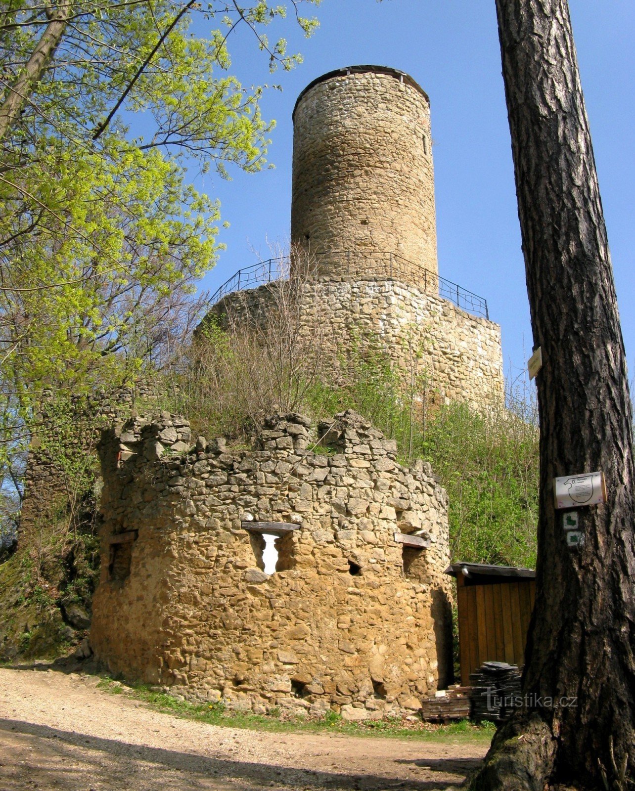
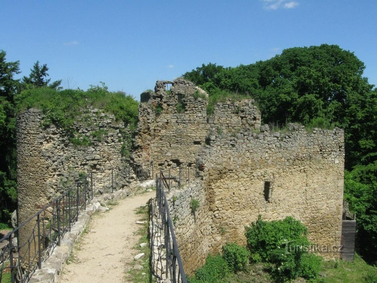
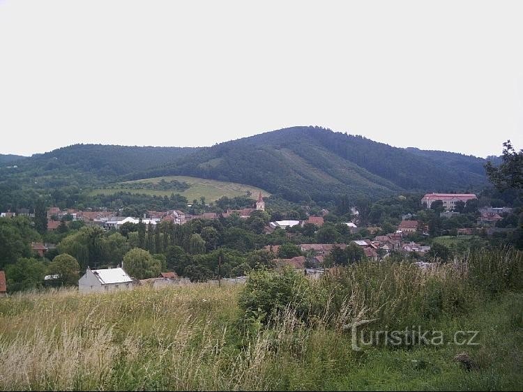
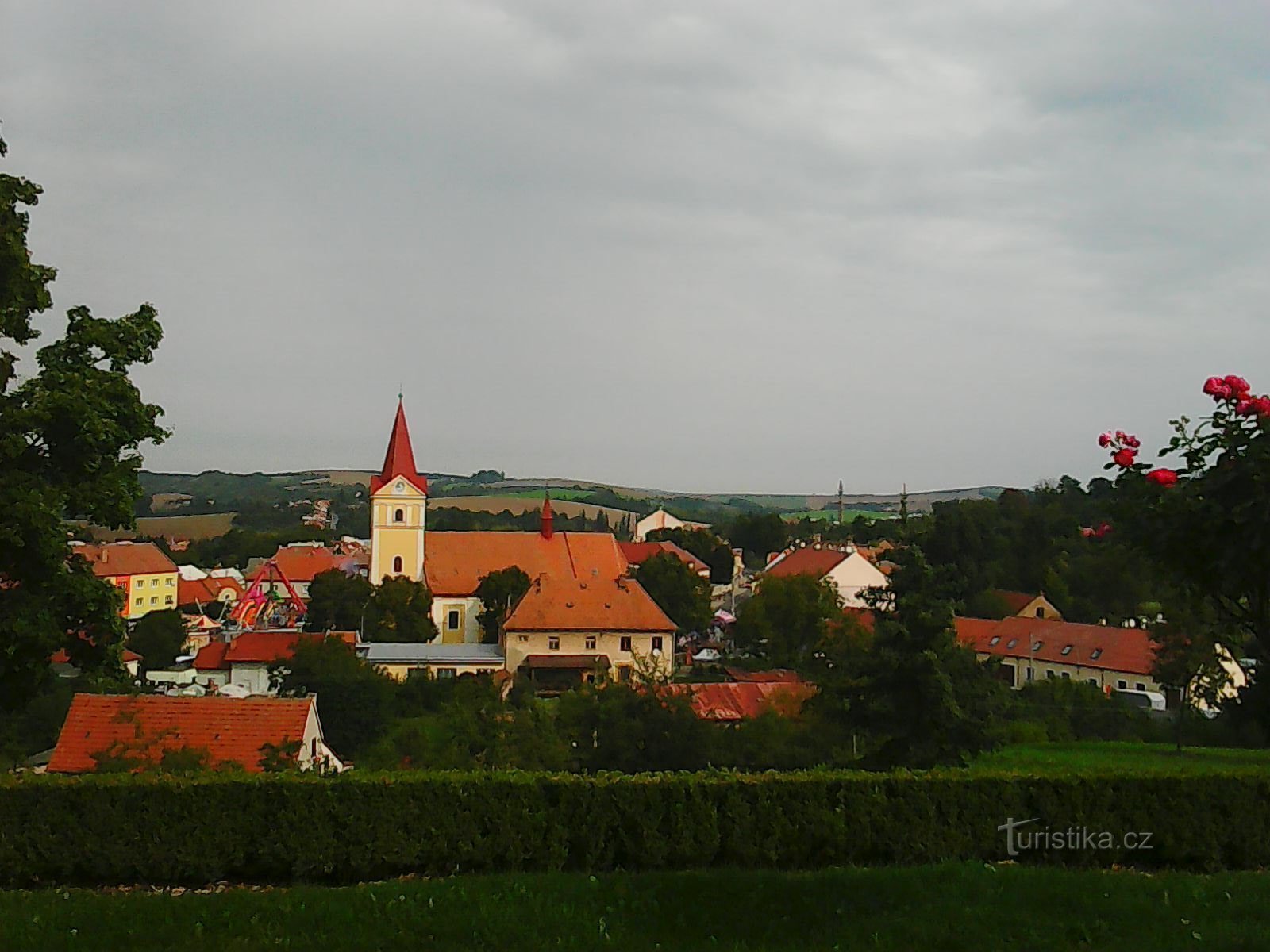
The route leads from Koryčany Square along the green Masaryková street to the intersection Koryčany-autoservis. From there, it climbs further up along the green trail along the forest paths to the U čtir dubů saddle, and from there it ascends to the deforested top of the Vršava hill (500 m above sea level) to the Lesů ČR recreation center. From the top part there are beautiful views of the surroundings of KRAJINA. The length of the route is 4,3 km.
Tourist map KČT 1…
Tourist map KČT 1…
Share this place with friends
To Vršava
Other places in the vicinity - Na Vršava
- Blišice
- Bohuslavice
- Borsov
- Goalkeeper
- Bukovany
- Chest of drawers
- Dobročkovice
- Hysli
- Chvalkovice
- Khvalnov
- Chvalnov-Lísky
- Hawks
- Jezhov
- Koreans
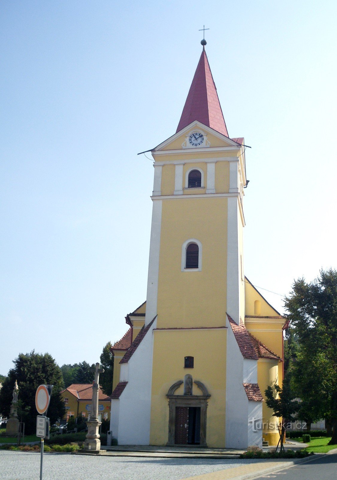
- Church
- Kožušice
- Kunkovice
- Swans
- Letosov
- Hazelnut
- Foxes
- Huntress
- Tiny
- Honeysuckle
- Mistress
- Moravians
- Flycatcher
- I don't brag
- Sickness
- Motionlessness
- Laying owls
- Nettie
- Non-soldiers
- Islanders
- Auschwitz
- Rockery
- Dreamers
- Staré Huta
- Shooters
- Stupava
- Cucumber
- Vršava
- Heath
- They cut in