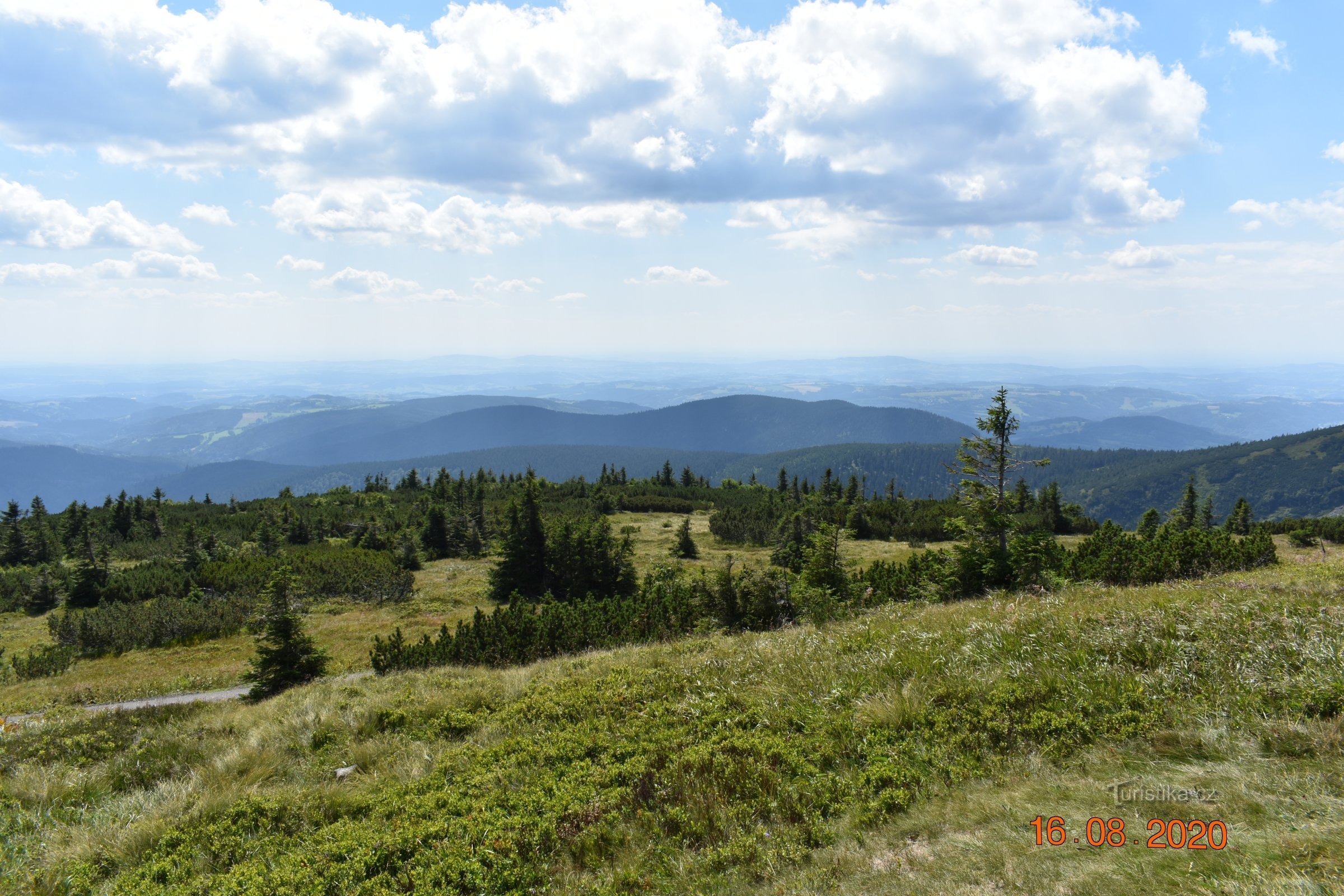
Masaryk mountain road (Krkonoše)


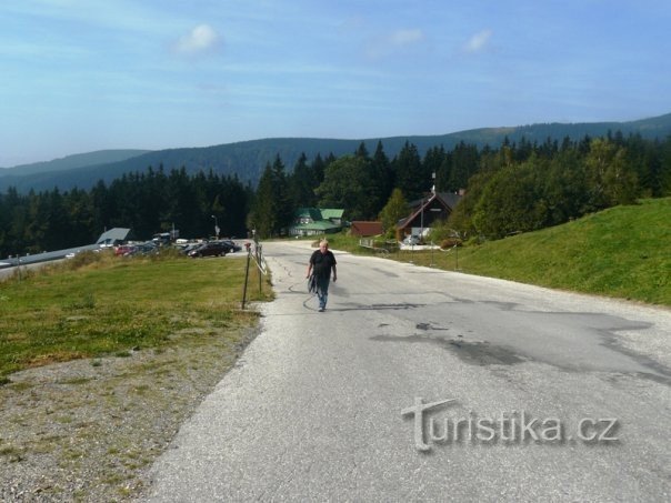
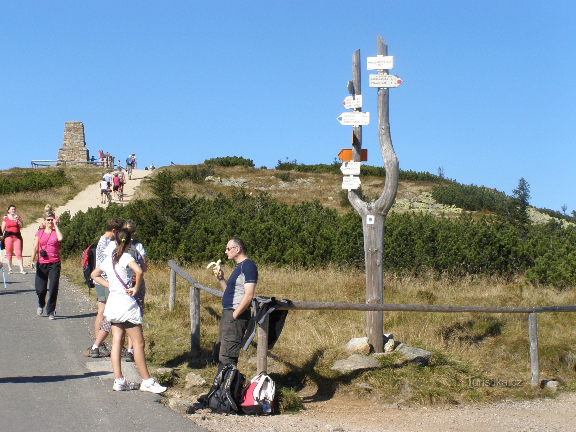
Masaryk mountain road (Krkonoše) 16.8.2020/22/4,3 It is one of the most difficult and longest cycling routes in our country. It measures XNUMX km with an elevation gain of one thousand meters and a gradient of XNUMX% (average).
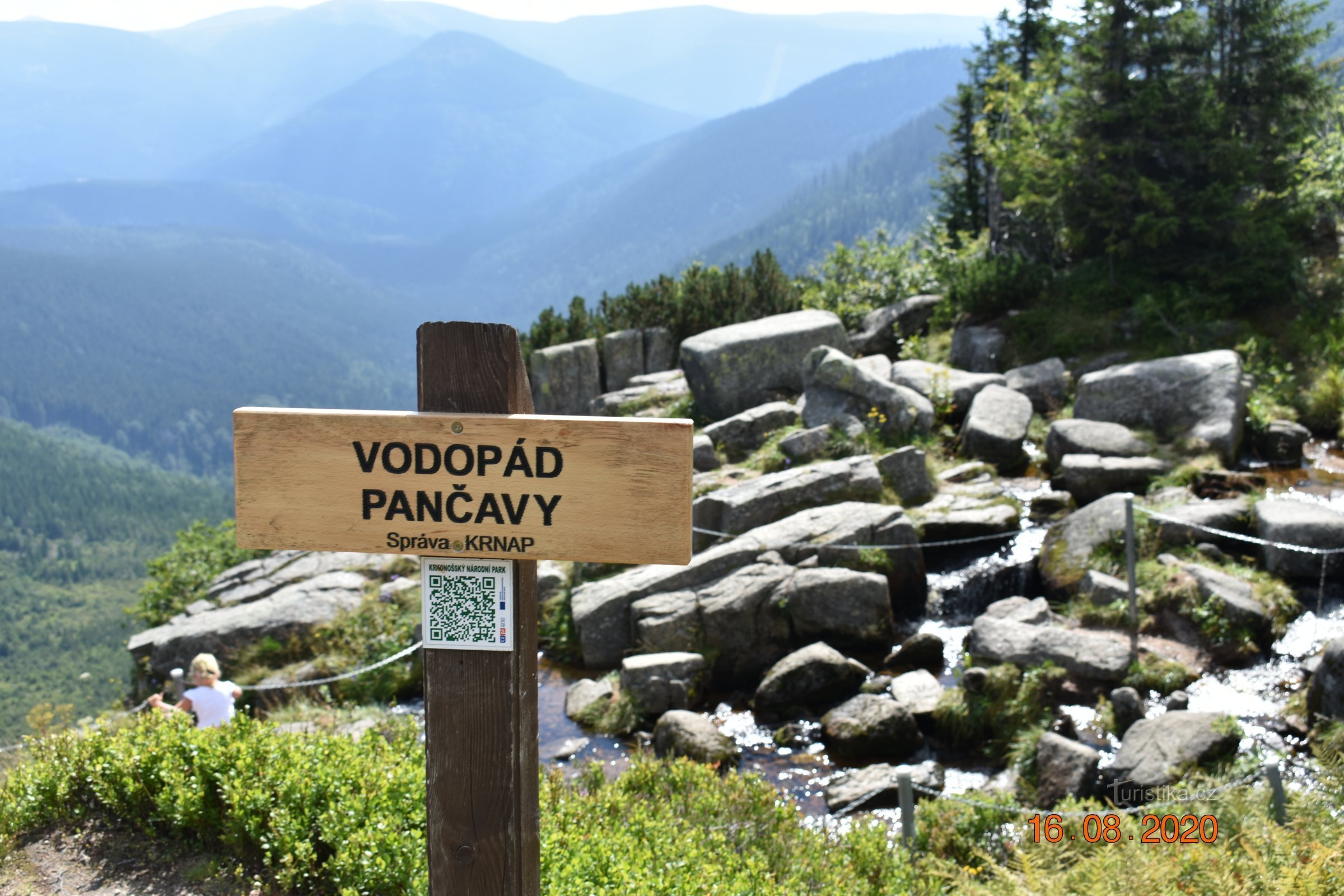
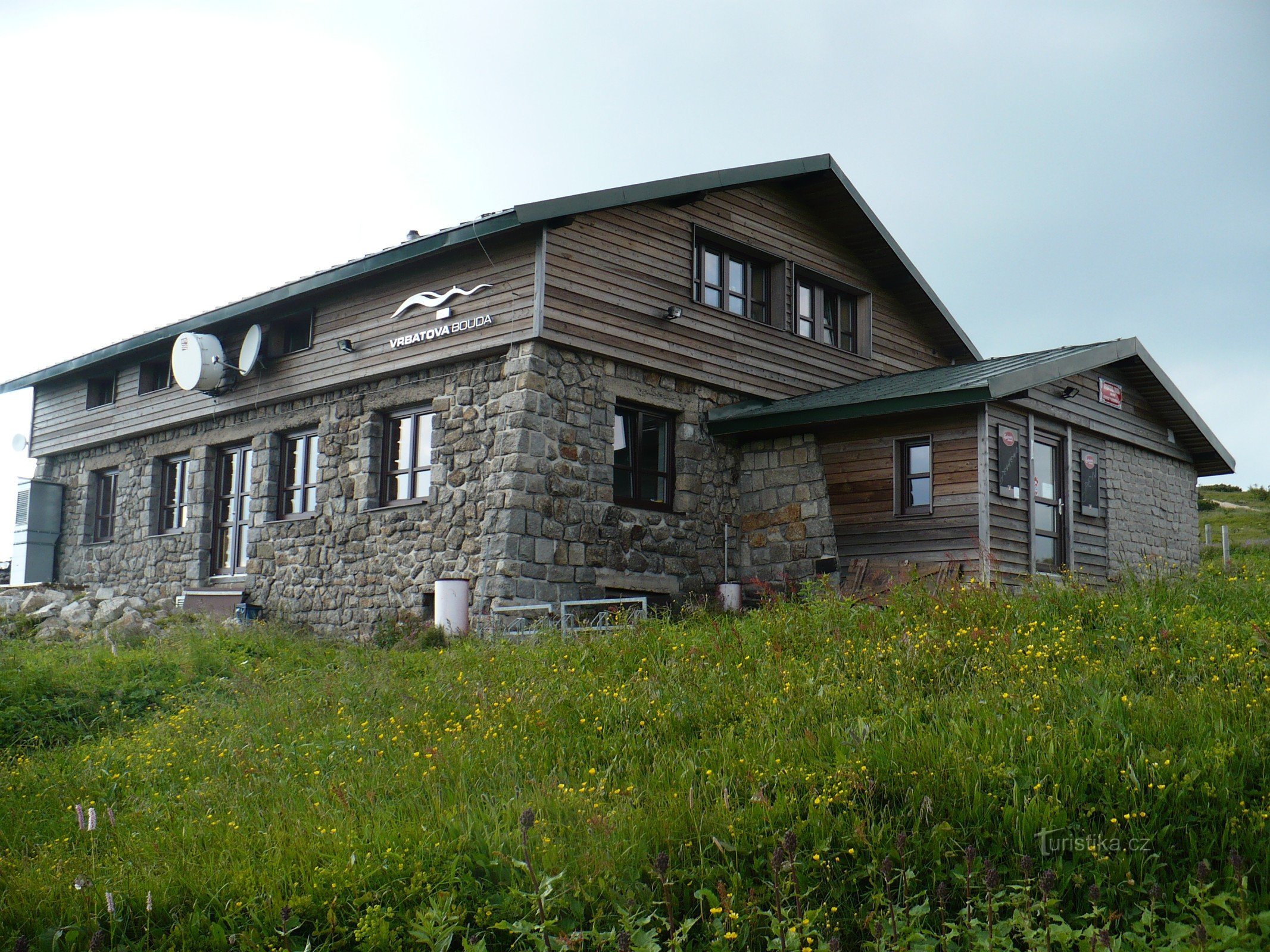
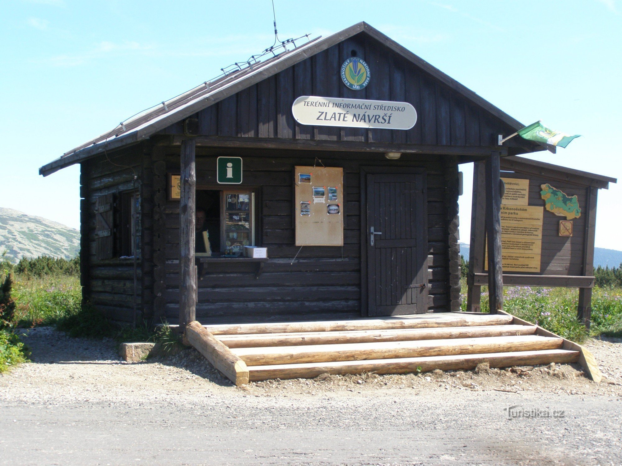
It leads from Hrabacov to Horní Míseček, which is the highest mountain settlement in the Krkonoše Mountains, all the way to Zlaté várší to Vrbat's hut.
The road, in many ways reminiscent of the Alpine or Pyrenean ones, was built at the time of the First…
It leads from Hrabacov to Horní Míseček, which is the highest mountain settlement in the Krkonoše Mountains, all the way to Zlaté várší to Vrbat's hut.
The road, in many ways reminiscent of the Alpine or Pyrenean ones, was built at the time of the First…
Share this place with friends
Masaryk mountain road (Krkonoše)
Other places in the vicinity - Masaryk mountain road (Krkonoše)
- Bedřichov
- Benecko
- Brother
- Stormtroopers
- Lower Dušnice
- Dolni Misečky
- Lower Rokytnice
- Františkov
- Harrachov
- Look at yourself
- Upper Dušnice
- upper Mountains
- upper Rokytnice
- Boundary
- Jablonec nad Jizerou
- Hawks in the Giant Mountains
- The extremities
- Labská
- New world
- Front Labská
- Rokytnice
- Rokytno
- Roudnice
- Quick
- Rice fields
- Shrubs
- Studenov
- st. Peter
- Spindleruv Mlyn
- Vilémov
- Vitkovice
- Alfalfa