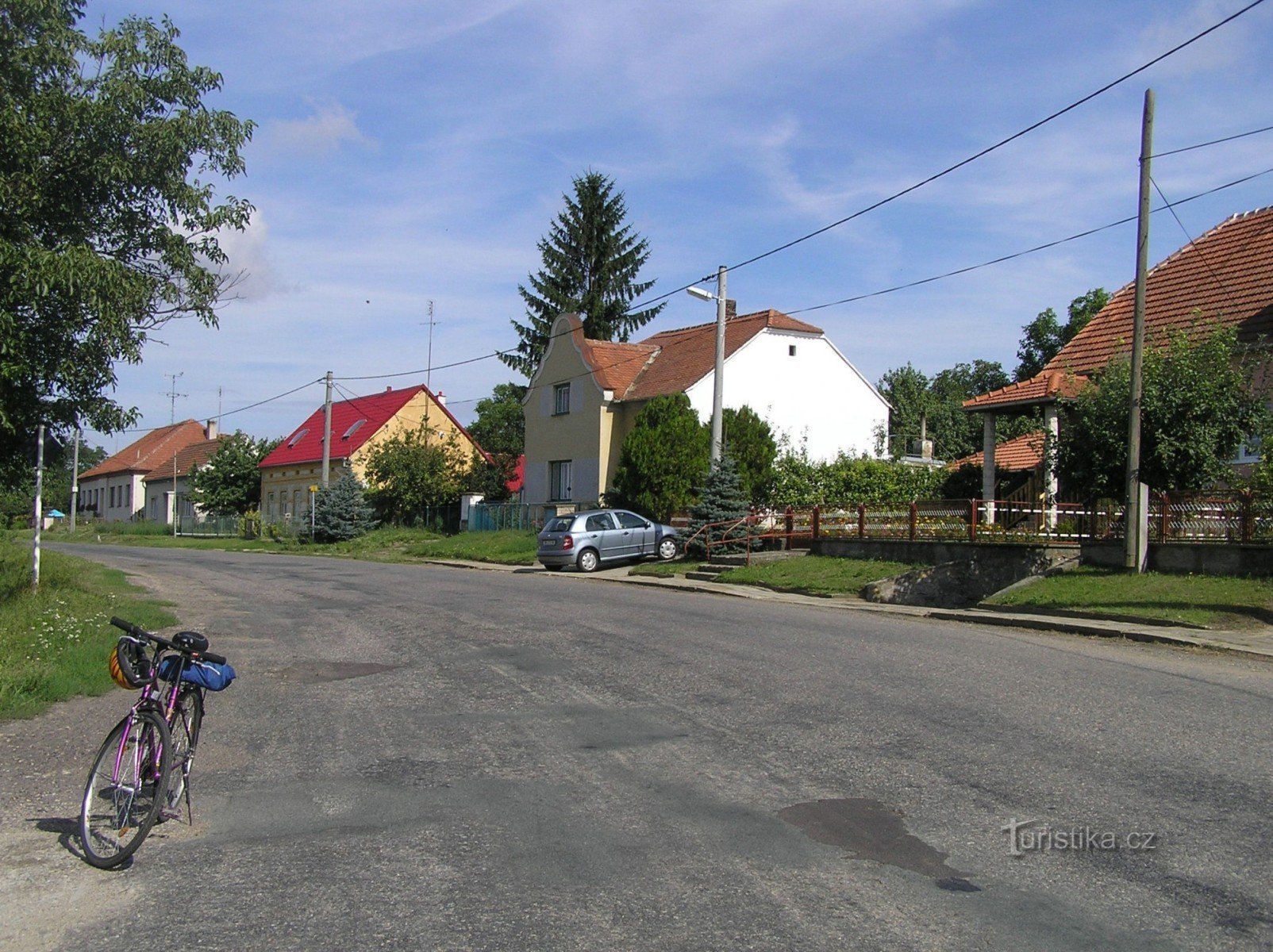
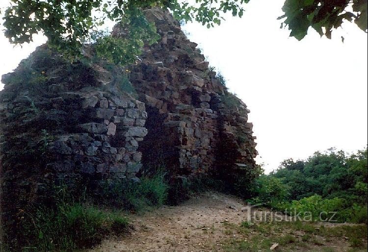
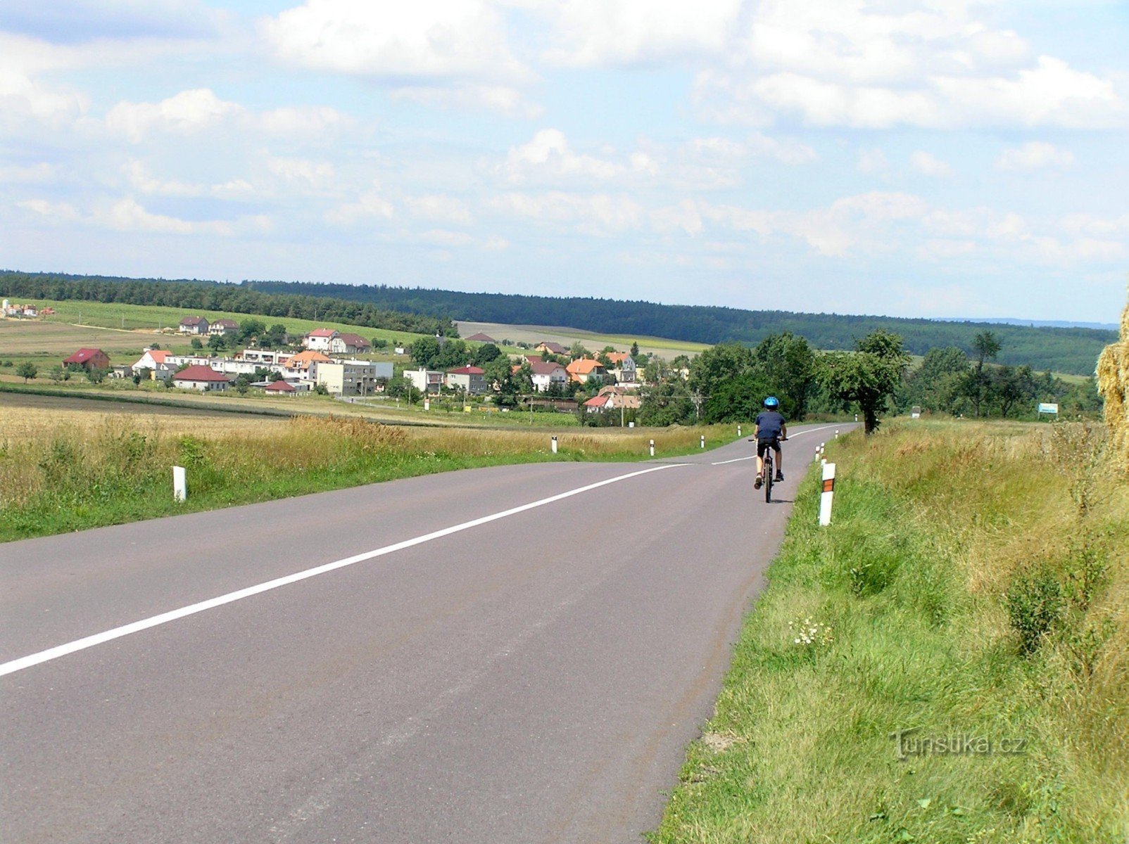
Jevišovka


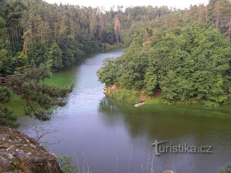
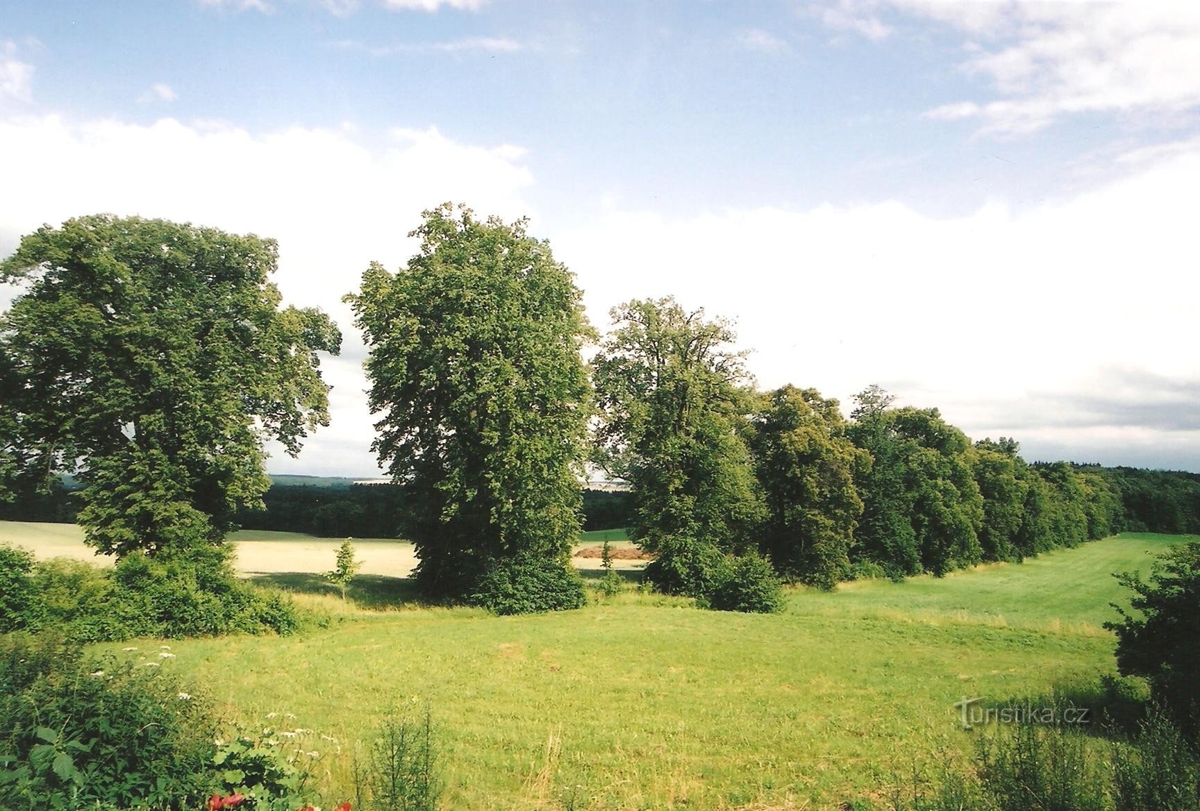
Jevišovka is a river that originates west of Komárovice (west of Moravské Budějovice) at an altitude of 560 m above sea level, flows mainly in a southeast direction (flows through the areas: Česko-Moravská vrchovina and Podyjí) and near the village of Jevišovka flows from the left into Dyje at an altitude of 117 m above sea level, catchment area it measures 779 km2, the length of the stream is 79,9 m and the length of the flow is 65 km. The Jevišovka River is an important stream in terms of water management. Throughout…
Share this place with friends
Jevišovka
Other places in the vicinity - Jevišovka
- Behařovice
- Biscuit
- Biskupice-Pulkov
- Bojanovic
- Boskovstein
- Citations
- Black man
- Blessings
- Hluboké Mašůvky
- Upper Dunajovice
- Jevišovice
- Jiřice near Moravské Budějovice
- Barracks
- Cow farm
- Treacle
- Cookbook
- Medley
- Mikulovice
- Marmots
- German girls
- Olbramstel
- Swimmer
- Diapers
- He skips
- Subjects
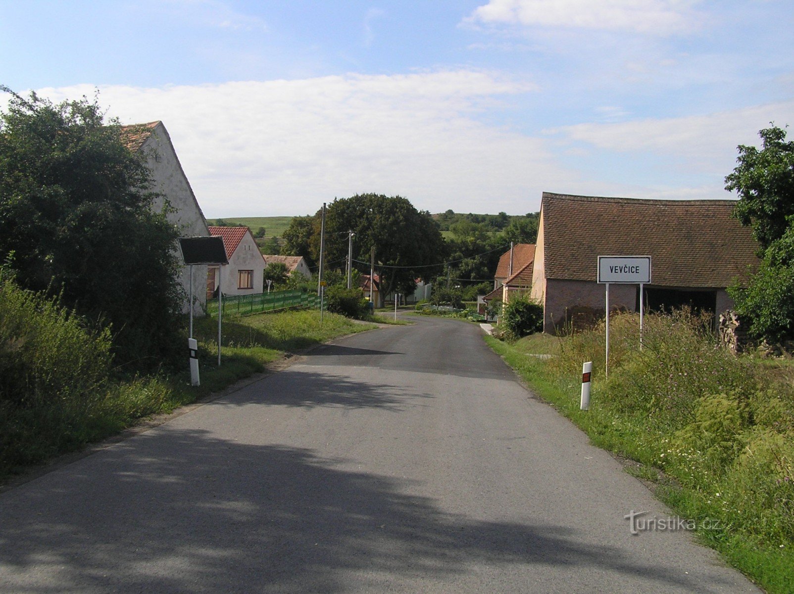
- Ratisovice
- Delight
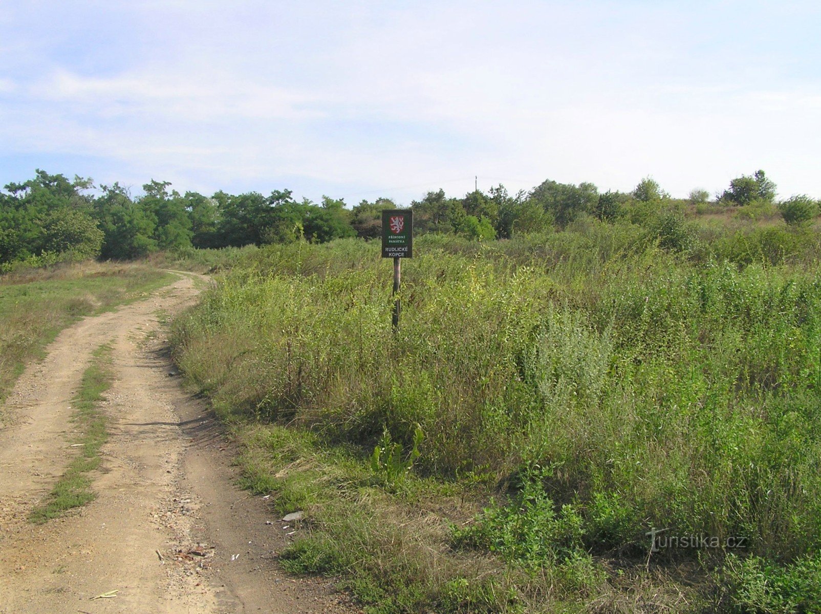
- Rudlice
- Slatina
- Shooter
- Stupesice
- Tavikovice
- Tvořihráz
- The trip
- Unanov
- Sheepdog
- Višňové
- Vranovska Village
- Výrovice
- Žerotice
- Jesters