Horní Studénky – Rozsocha
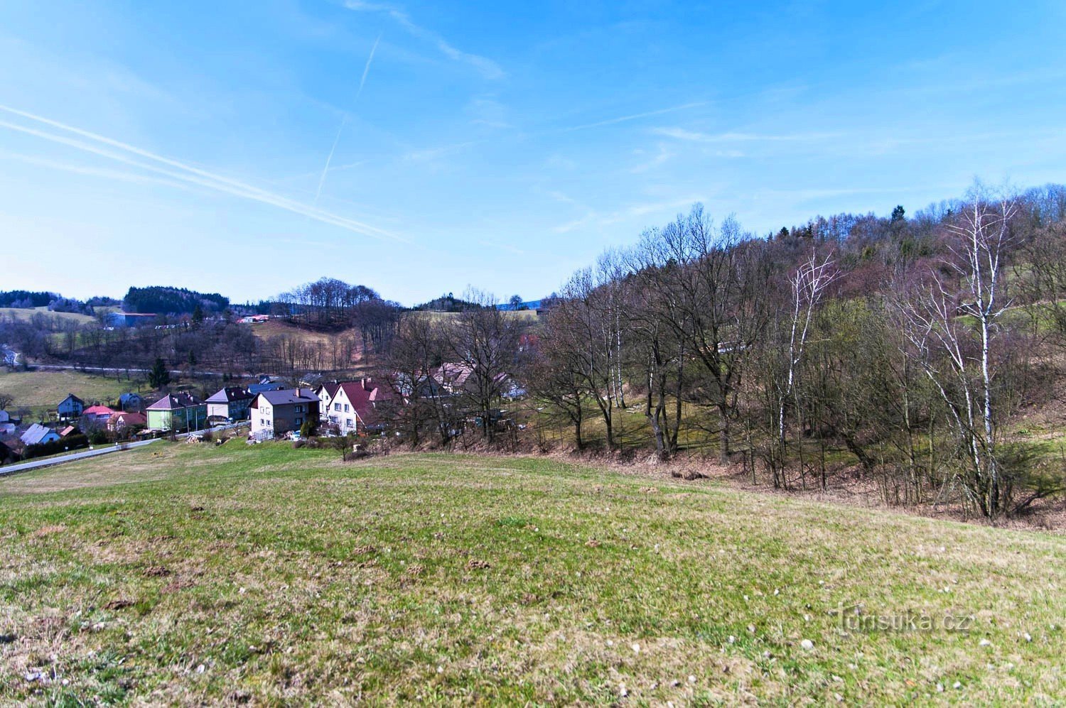
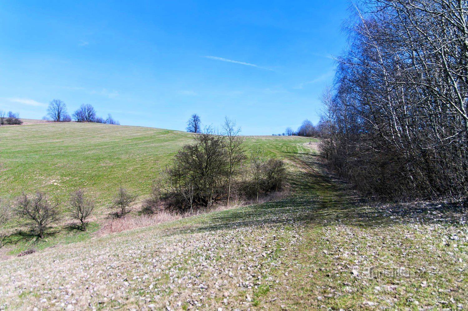
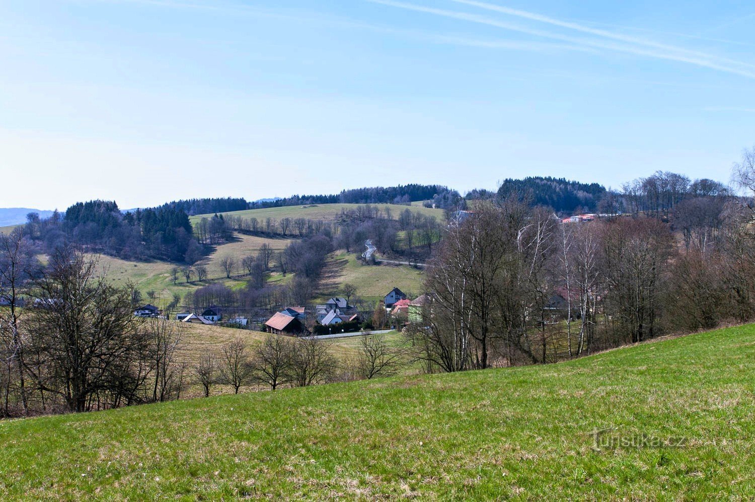
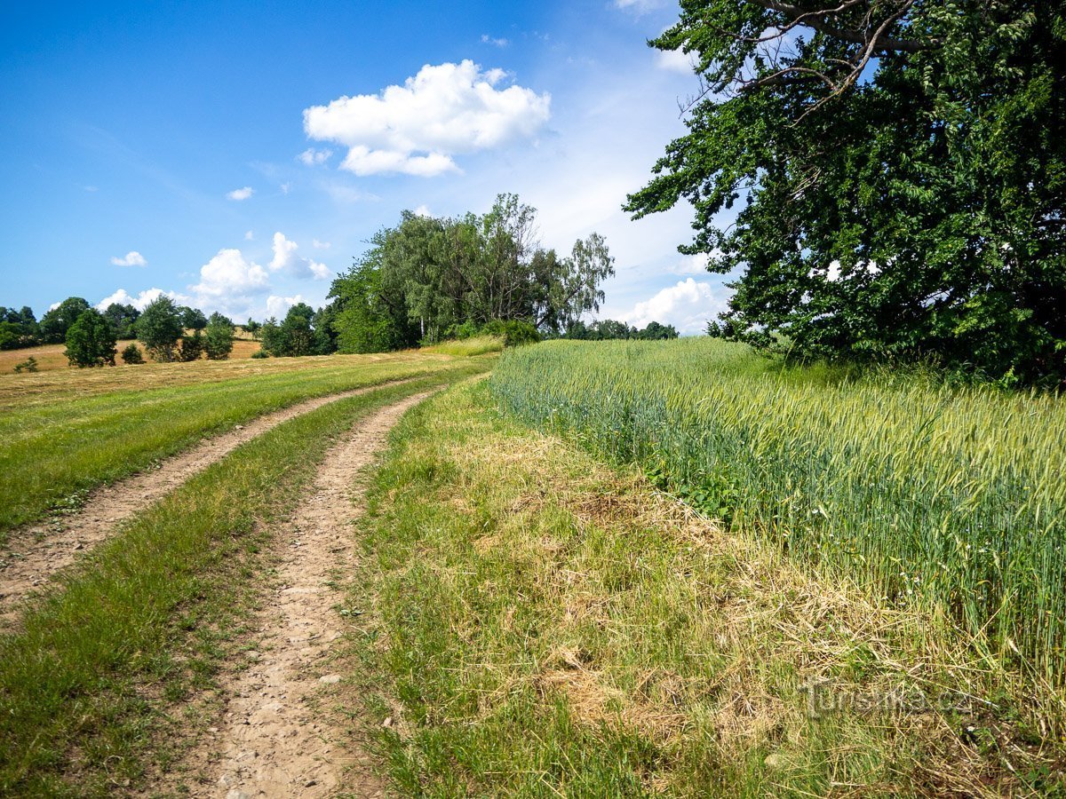
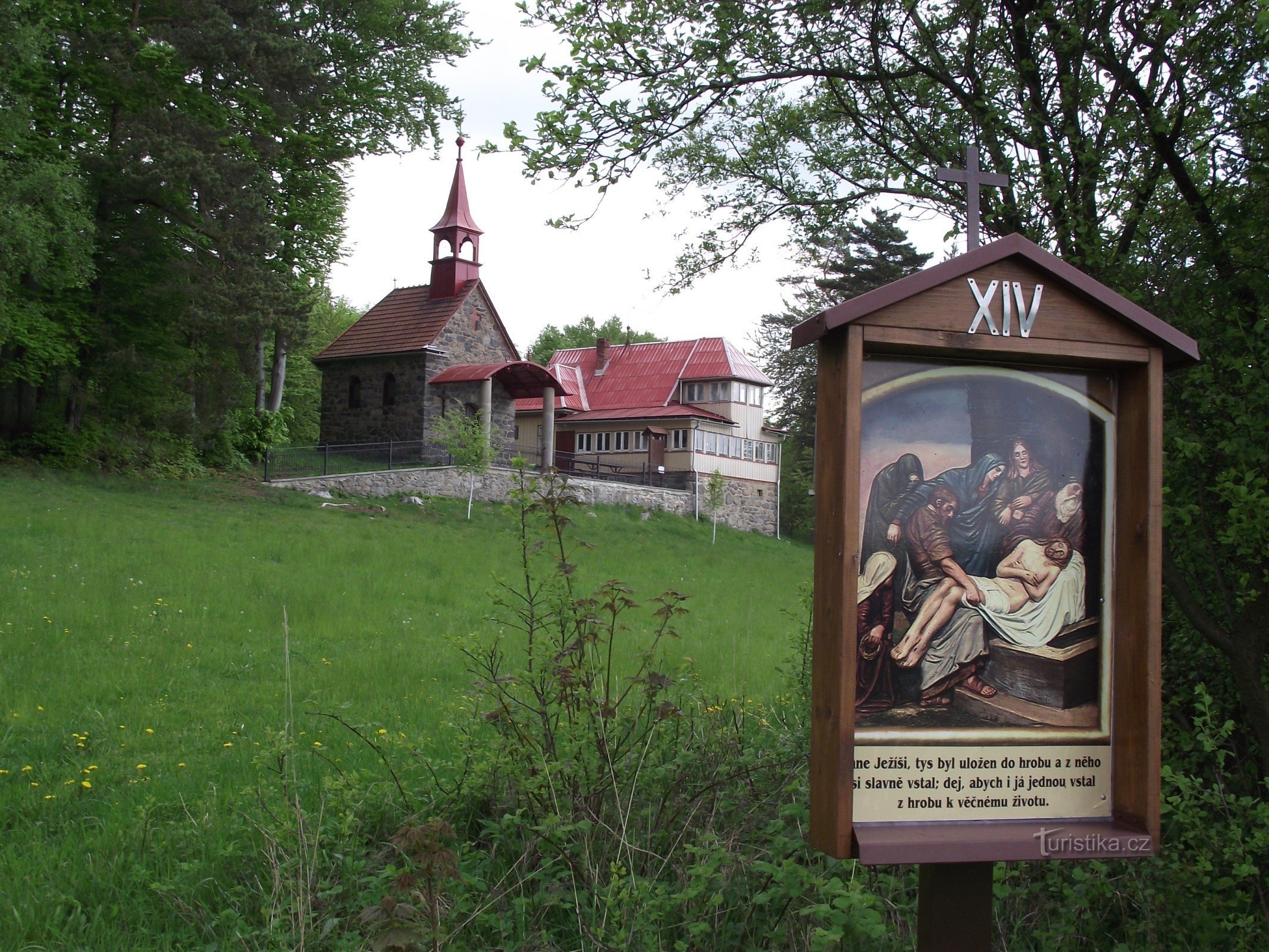
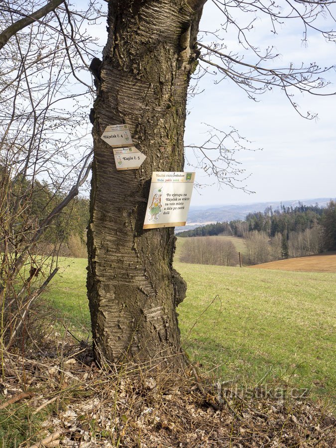
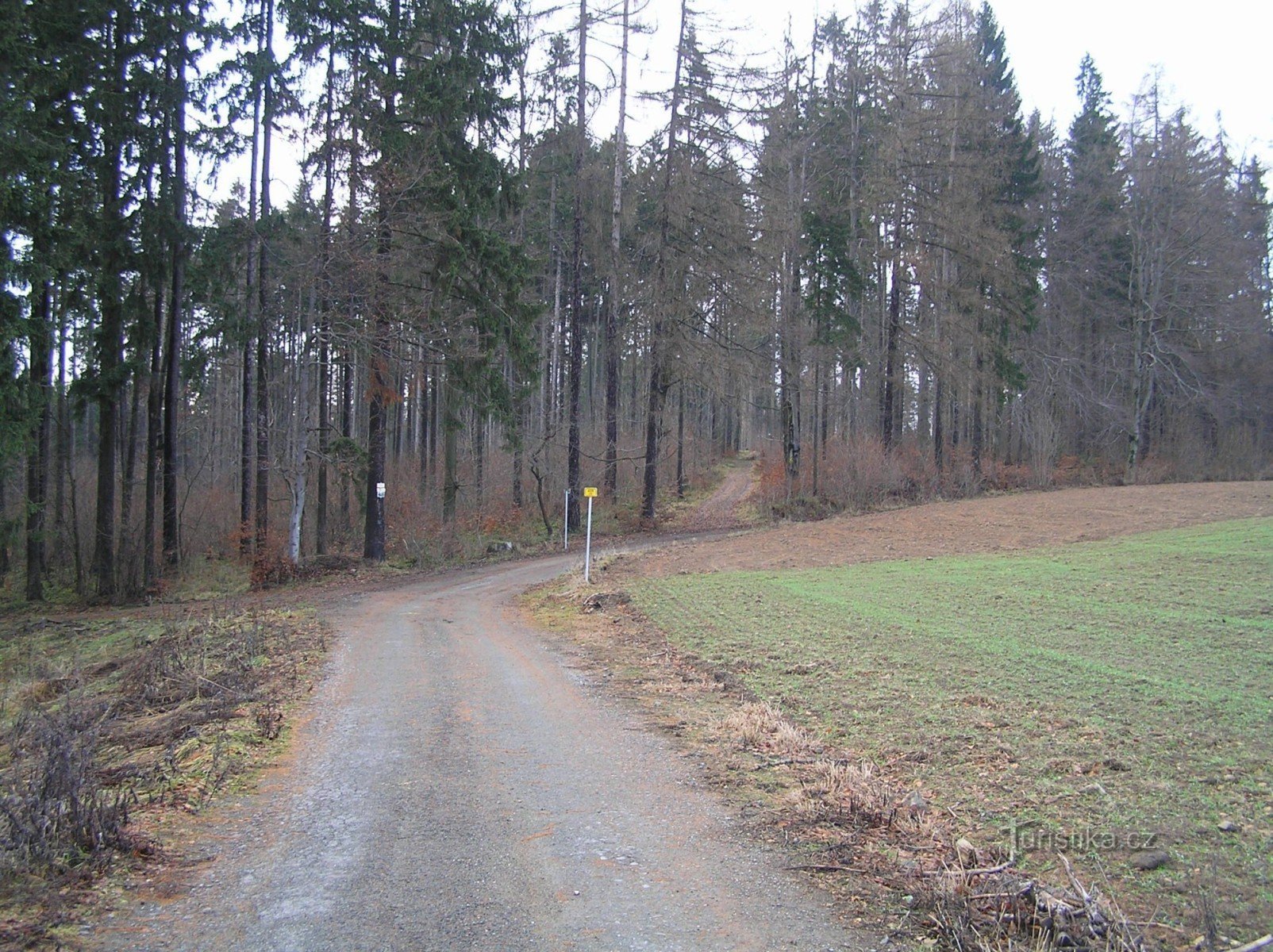
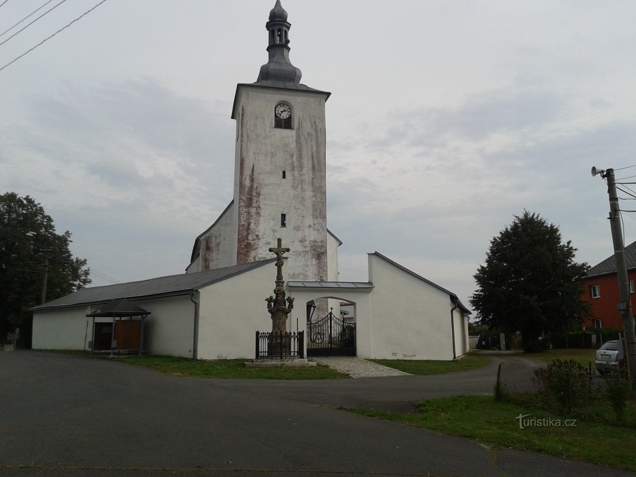
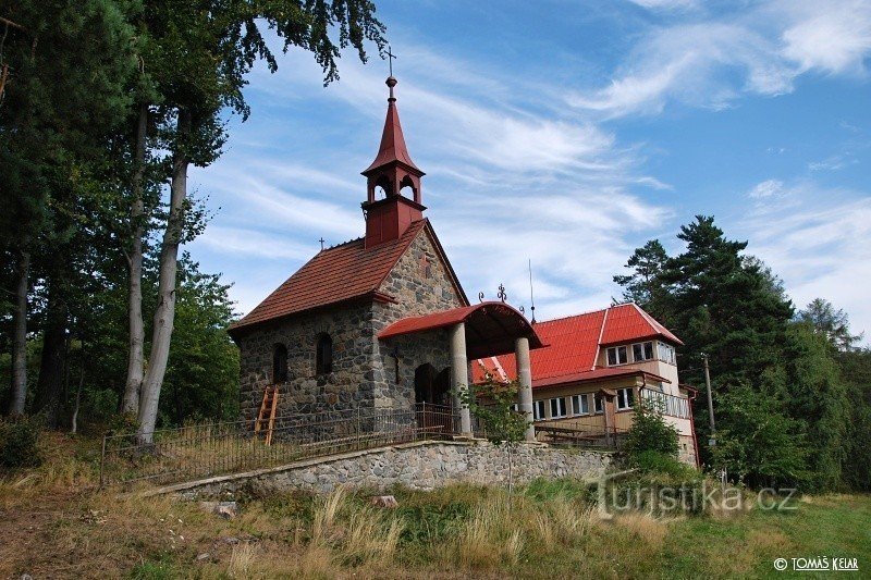
In fact, the name Rozsocha refers to an elevation of 517 m asl east of the texting place on the course of the blue tourist sign from Klášterec to Horní Studének. However, since the hill is covered by a fairly normal forest, the reference point is basically located at the top of the climb in the fields and meadows near Horní Studenék.
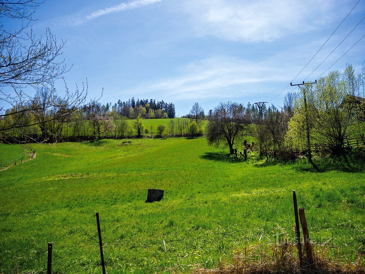
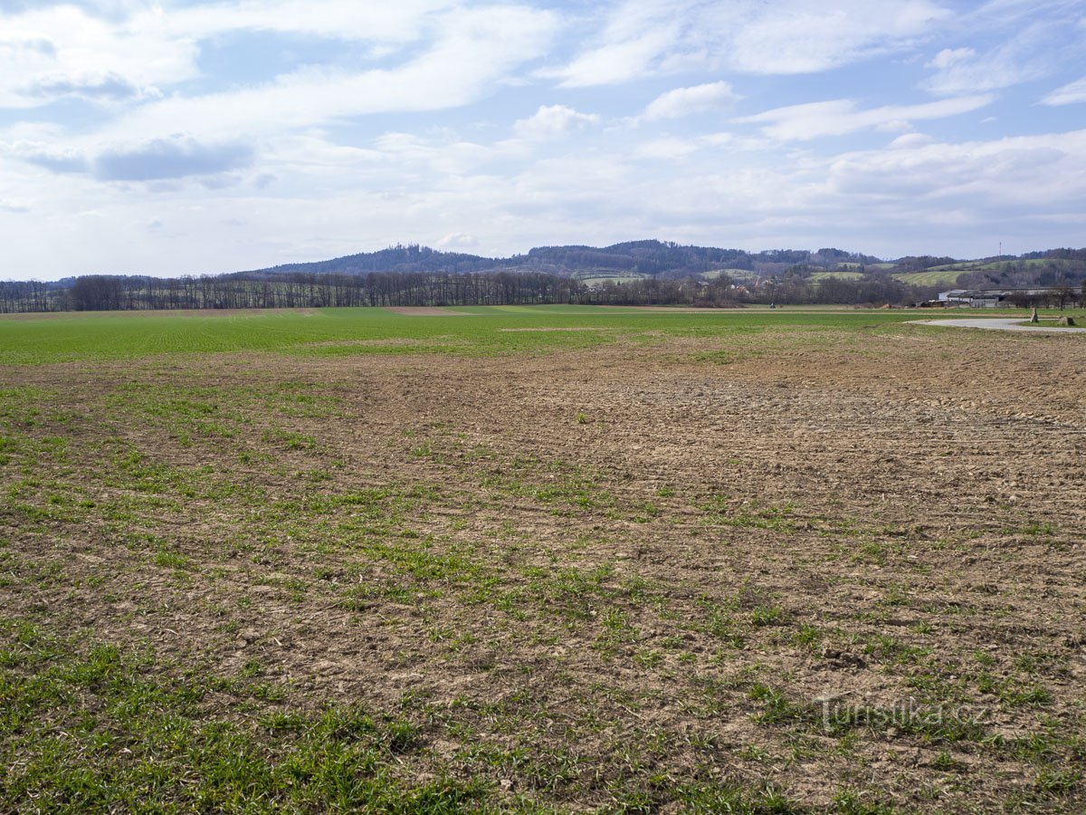
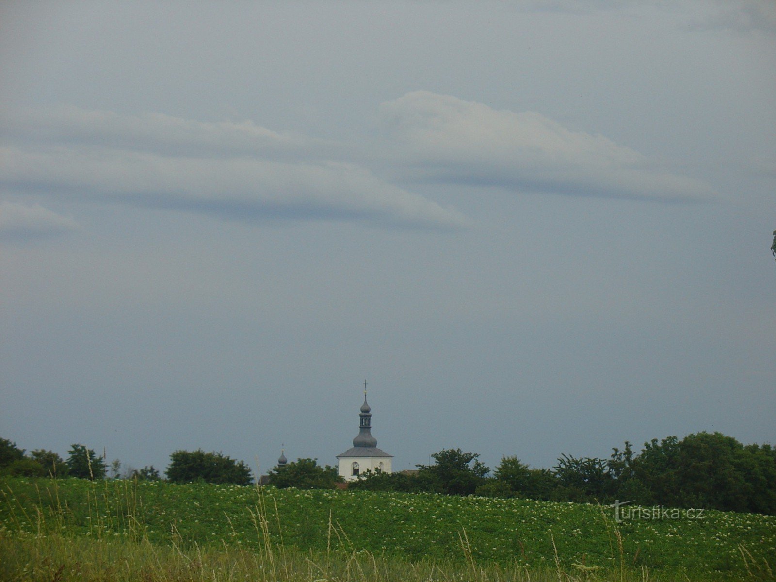
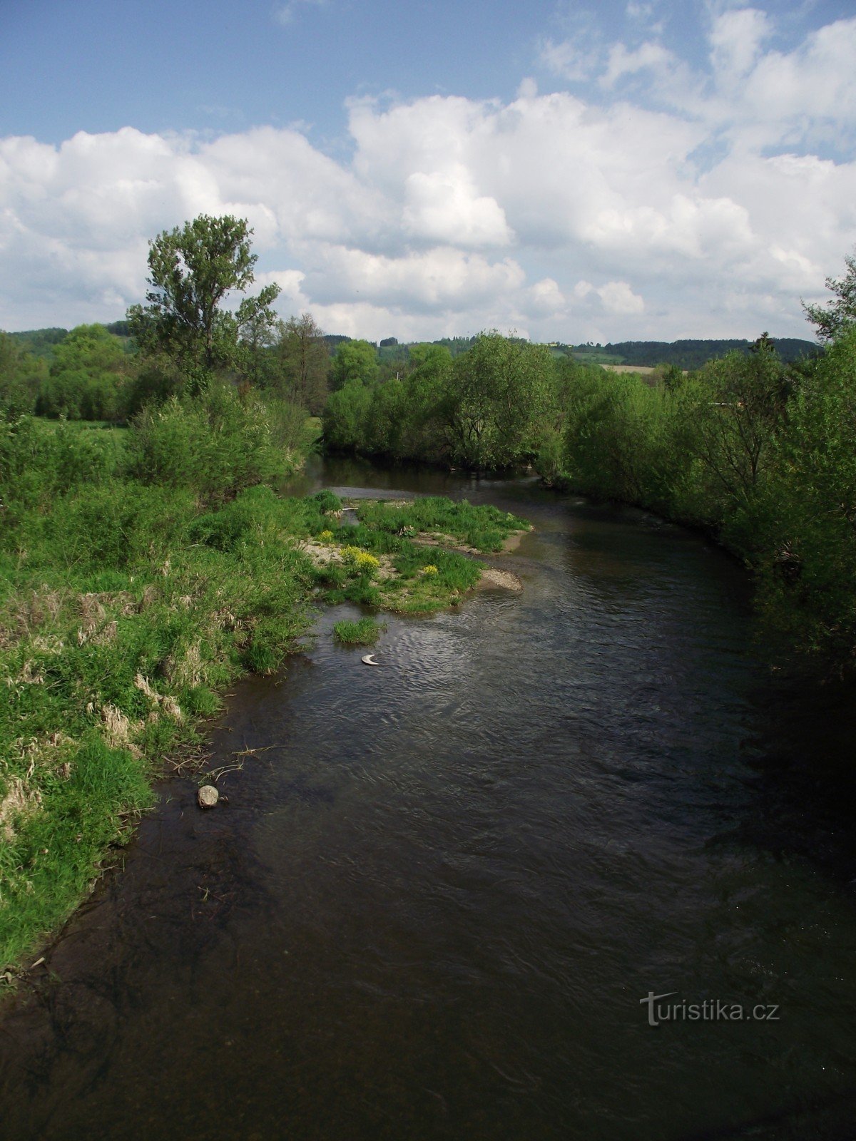
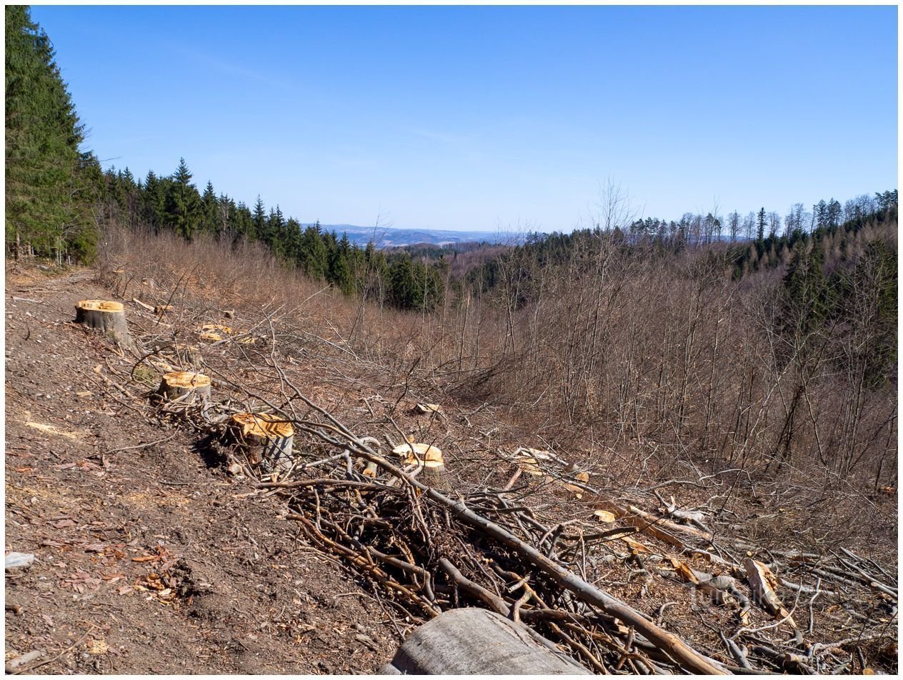
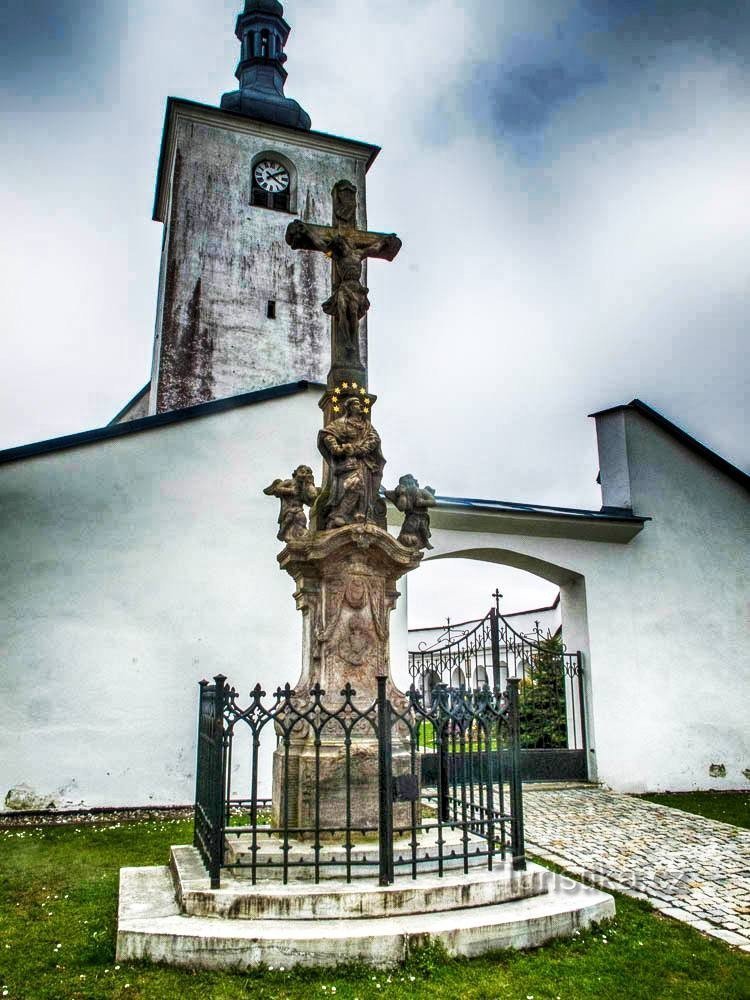
The reason for the location of the orientation is quite clear, a few meters from the Chinese duke the surroundings are beautiful...
The reason for the location of the orientation is quite clear, a few meters from the Chinese duke the surroundings are beautiful...
Share this place with friends
Horní Studénky – Rozsocha
Other places in the vicinity - Horní Studénky – Rozsocha
- Bartoňov
- White Water
- Bludov
- Bohdikov
- Bohutin
- March
- Bukovice
- Bushin
- Cotkytle
- Crhov
- Dolni Heřmanice
- Drozdov
- Hartikov
- Herbal medicine
- Heraldry
- Anger
- Upper Heřmanice
- Upper Studénky
- Hostess
- Innkeeper
- Hrabenov
- Chrome no
- Jakubovice
- Janousov
- Janousov
- They eat
- Monastery
- Komnátka
- Ashraf
- Mill
- Mlýnický Dvůr
- Charles of Moravia
- Unpleasantly
- Olšany
- Pisařov
- Peony
- Postrelmov
- A gunshot
- Radomilov
- Rivne
- Ruda nad Morava
- Rýdrovice
- The guard
- Sudkov
- Svebohov
- Štědrák's Lhota
- Shields
- Václavov
- Valterica
- Vyšehoří
- Zábreh
- Choirs

