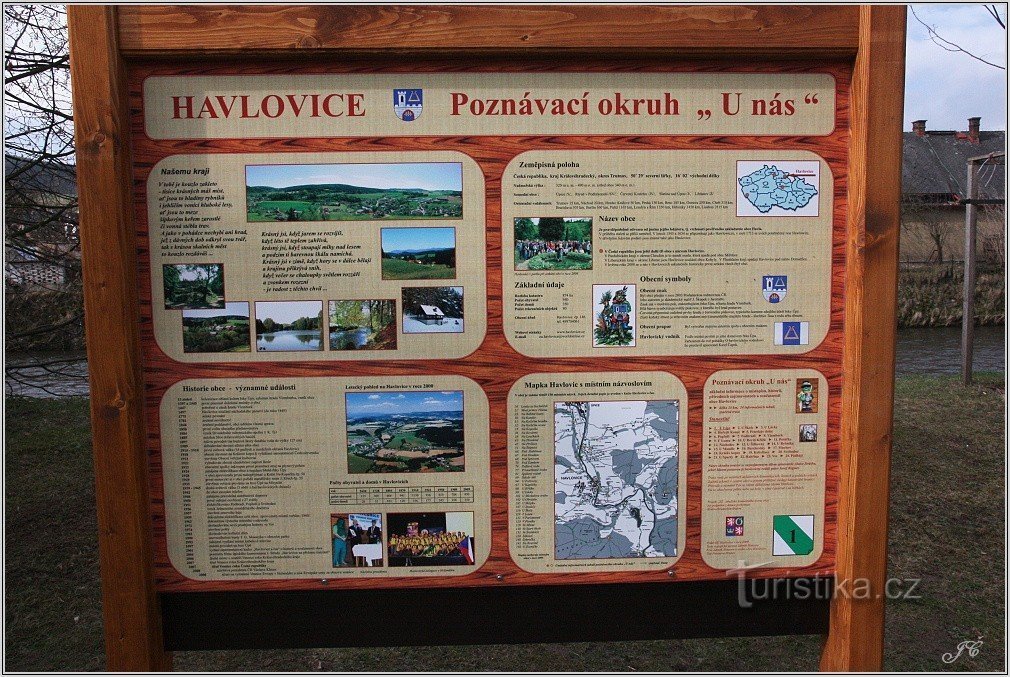
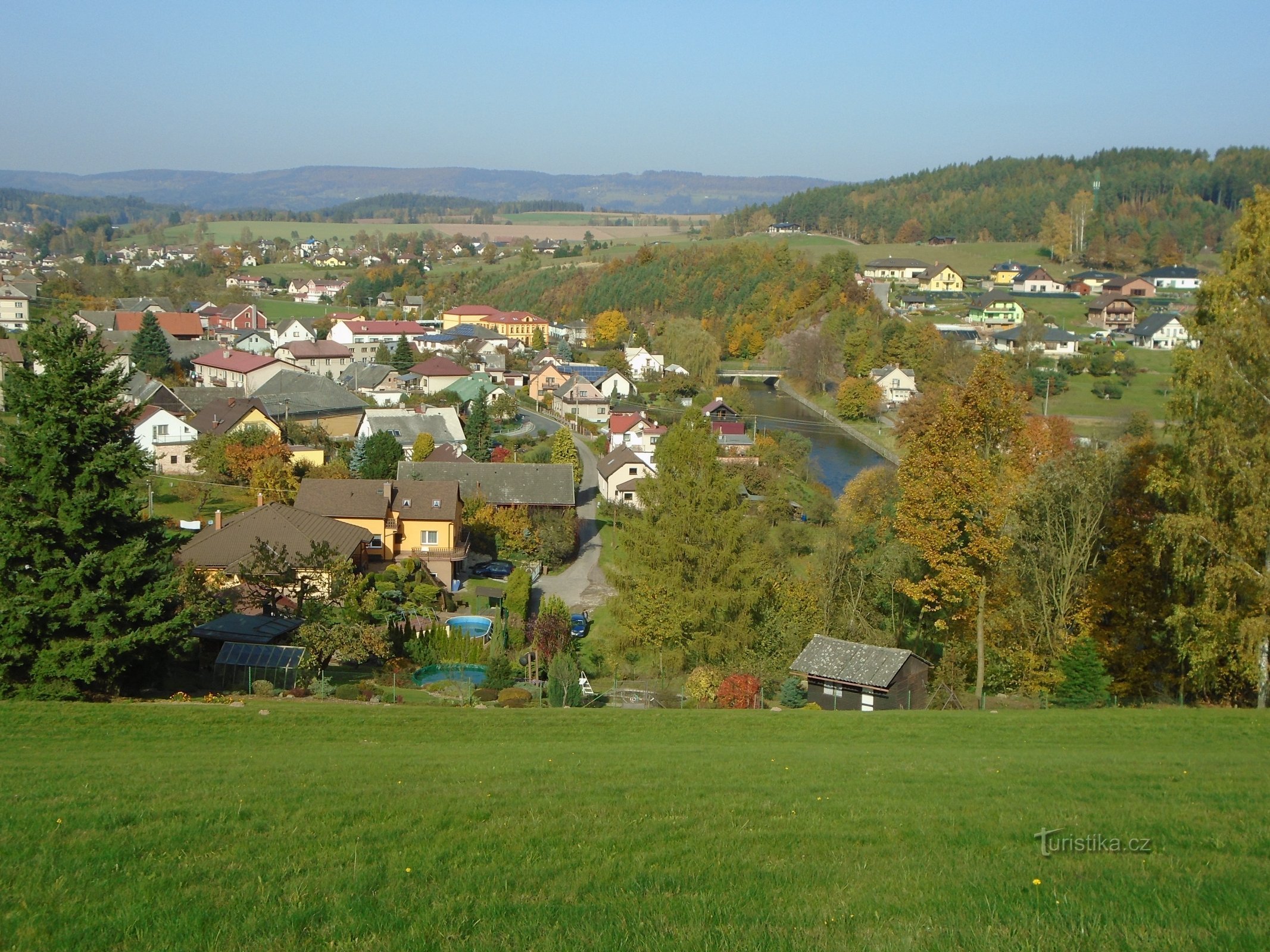
Haječek


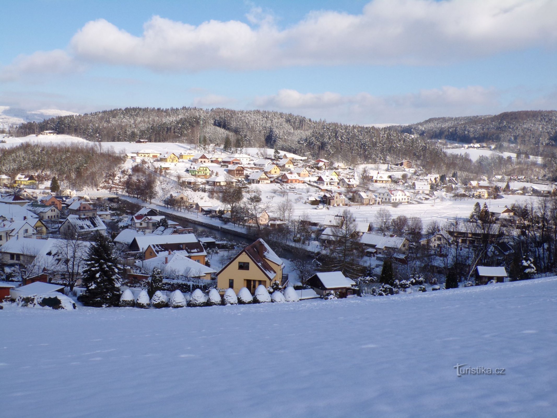
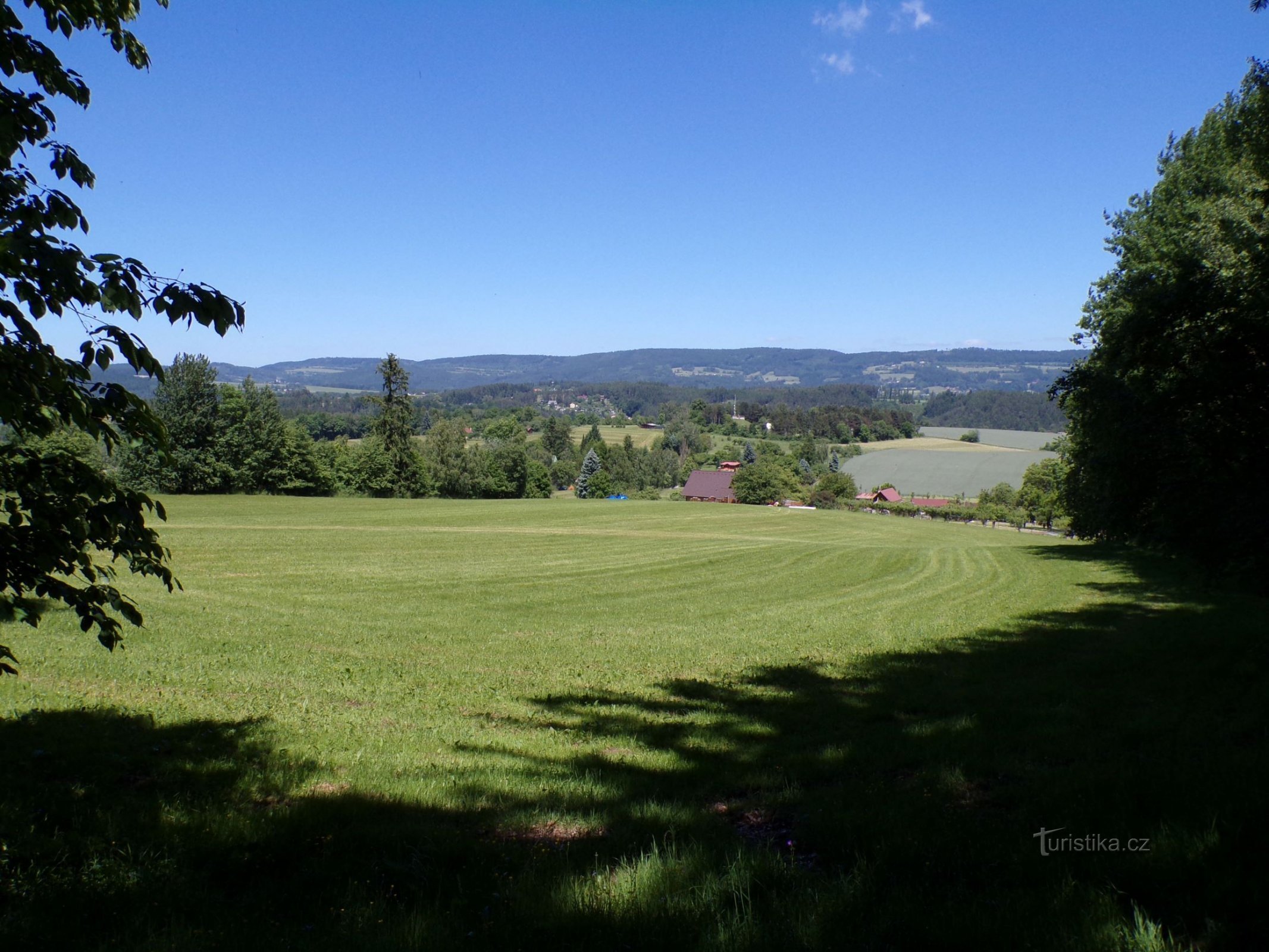
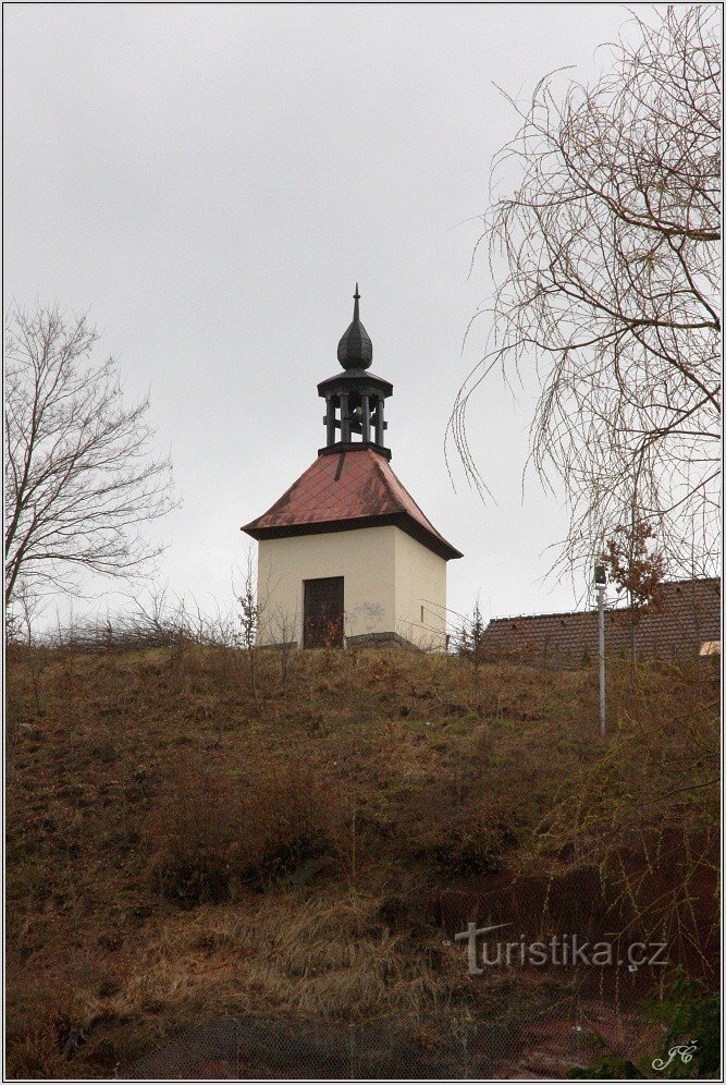
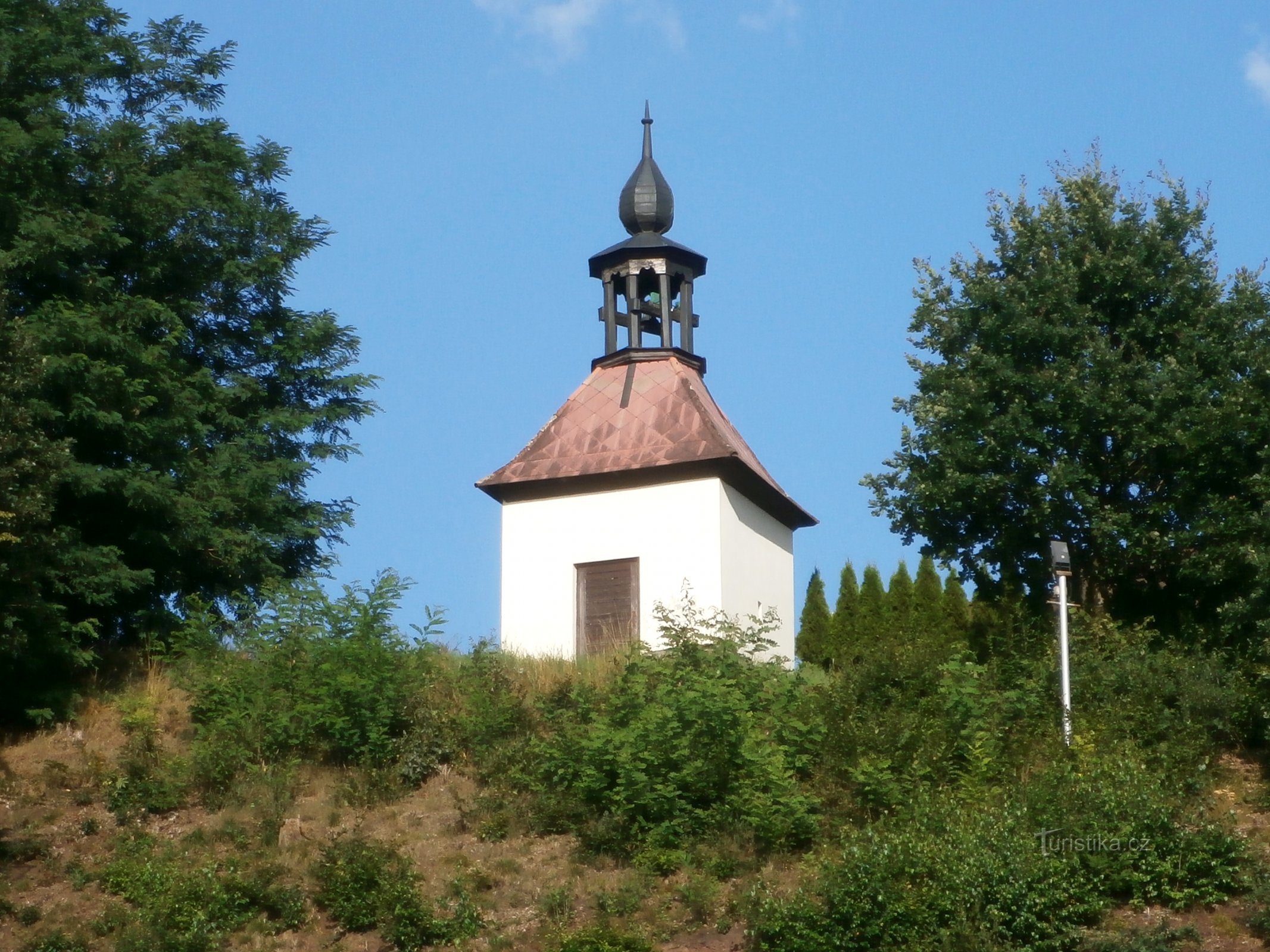
This location in Havlovice is also called "V Háječek". This is a hill with a birch grove between the bell tower and Dolečky, where an urn grove was established. The highest point, which bears the name "U Lipek", is 371,5 m above sea level. Previously, this place was called "Východní", according to its location in relation to the village. We can find this name in the "Wichodna" version in the imperial imprint of the stable cadastre from 1840,...
Share this place with friends
Haječek
Other places in the vicinity - Háječek
- Adamov
- Baku
- Batňovice
- Belun
- Bohdašin
- Bohuslavice
- Quickly
- Smart
- Red Mountain
- Red Church
- Dolní Radechová
- Firefighter
- Havlovice
- Upper Kostelec
- Horní Radechová
- Upper Rybníky
- Fireflies
- Innkeeper
- Chlistov
- Chicken coop
- Chvalkovice
- Jívka
- Kohoutov
- Mosquitoes
- The extremities
- Mines
- Křižanov
- Lhota under Hořički
- Lhota behind the Red Church
- Lhotki
- Libňatov
- Litoboř
- Little Bukovina
- Little Svatoňovice
- Markoušovice
- Maršov u Úpica
- A sword
- Intermediate treatment
- Miscoleses
- Mstětín
- New Court
- New Hawthorn
- Resistance
- Olešnice
- Petrovice
- Posadov
- Holes
- Councilor
- Radvanice
- Ratibořice
- sea buckthorn
- Rtyně
- Ryzmburk
- Rešetova Lhota
- Slatina nad Úpou
- Slavik
- Starkoč
- Old Hawthorn
- Stolin
- Strážkovice
- Guard
- Studenec
- Wells
- Suchovrsice
- Lights
- Trubejov
- Cobwebs
- A passer-by
- Upice
- Vápenka
- Great Bukovina
- Velké Svatoňovice
- Vestec
- Vane
- Everything you want
- View
- Barriers
- A backslider
- Zblov
- Compare
- Success
- Žernov