Geological map-Zahrady
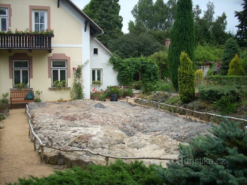
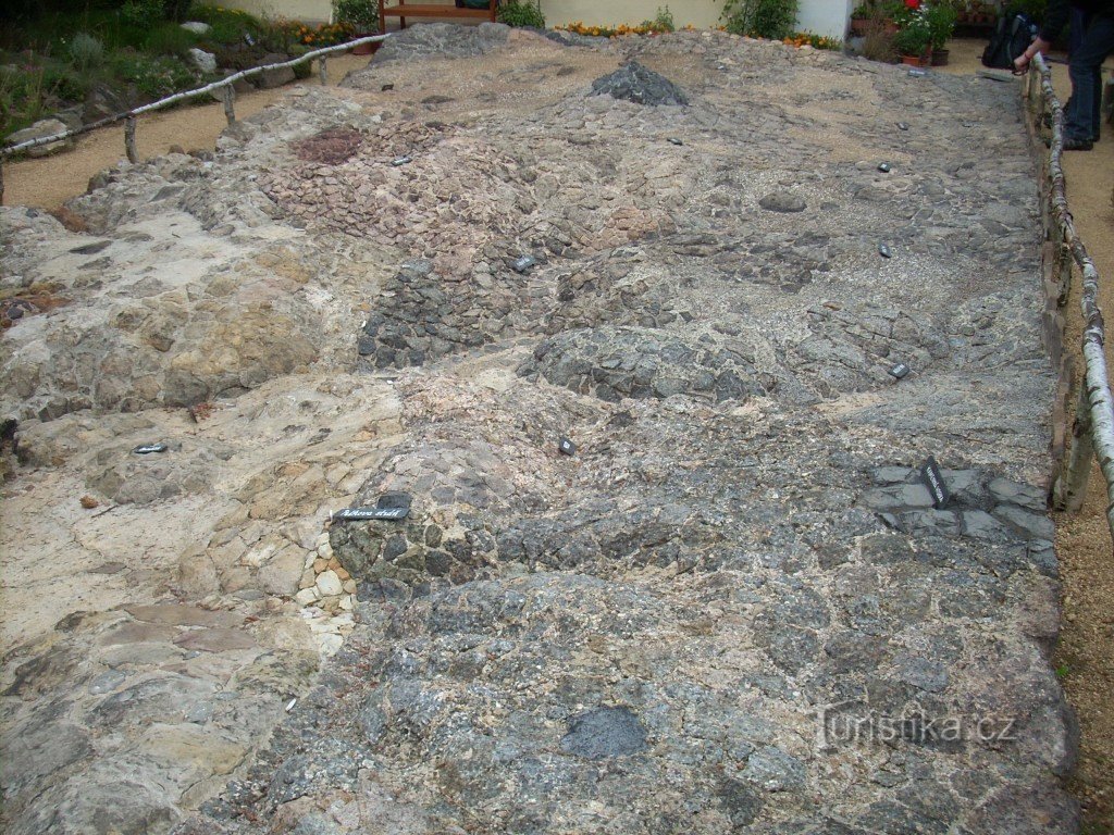
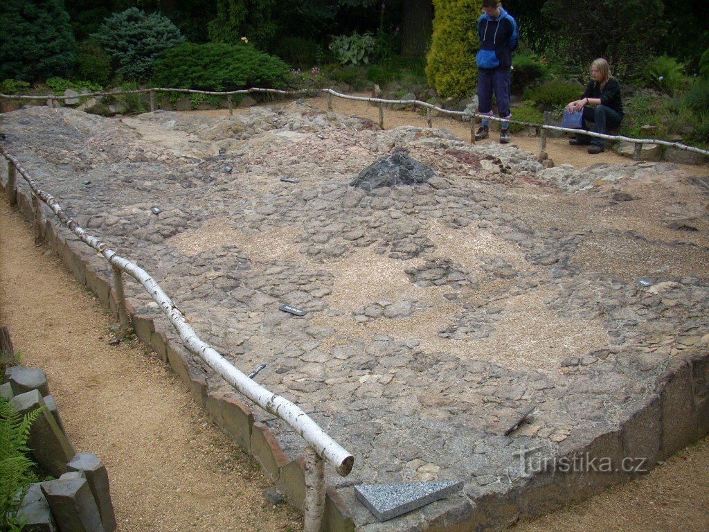
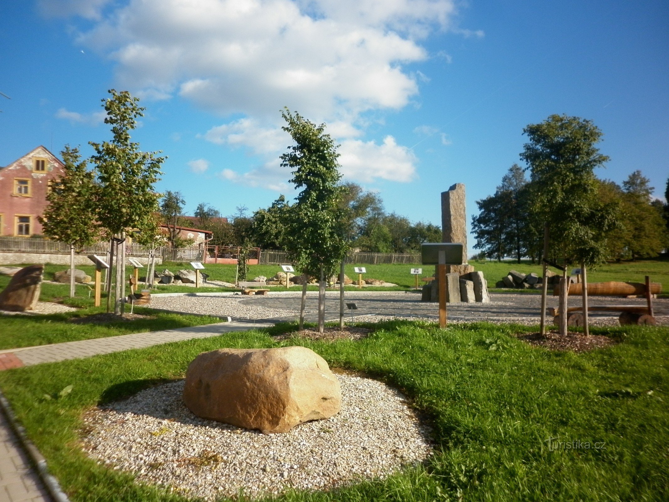
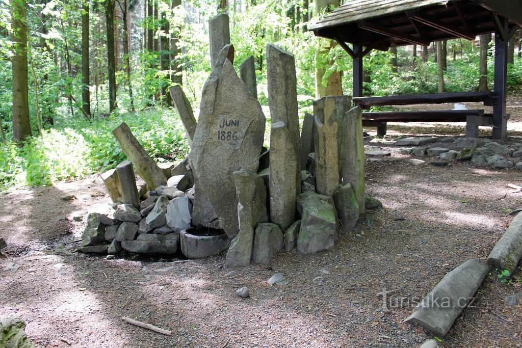
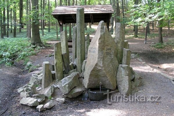
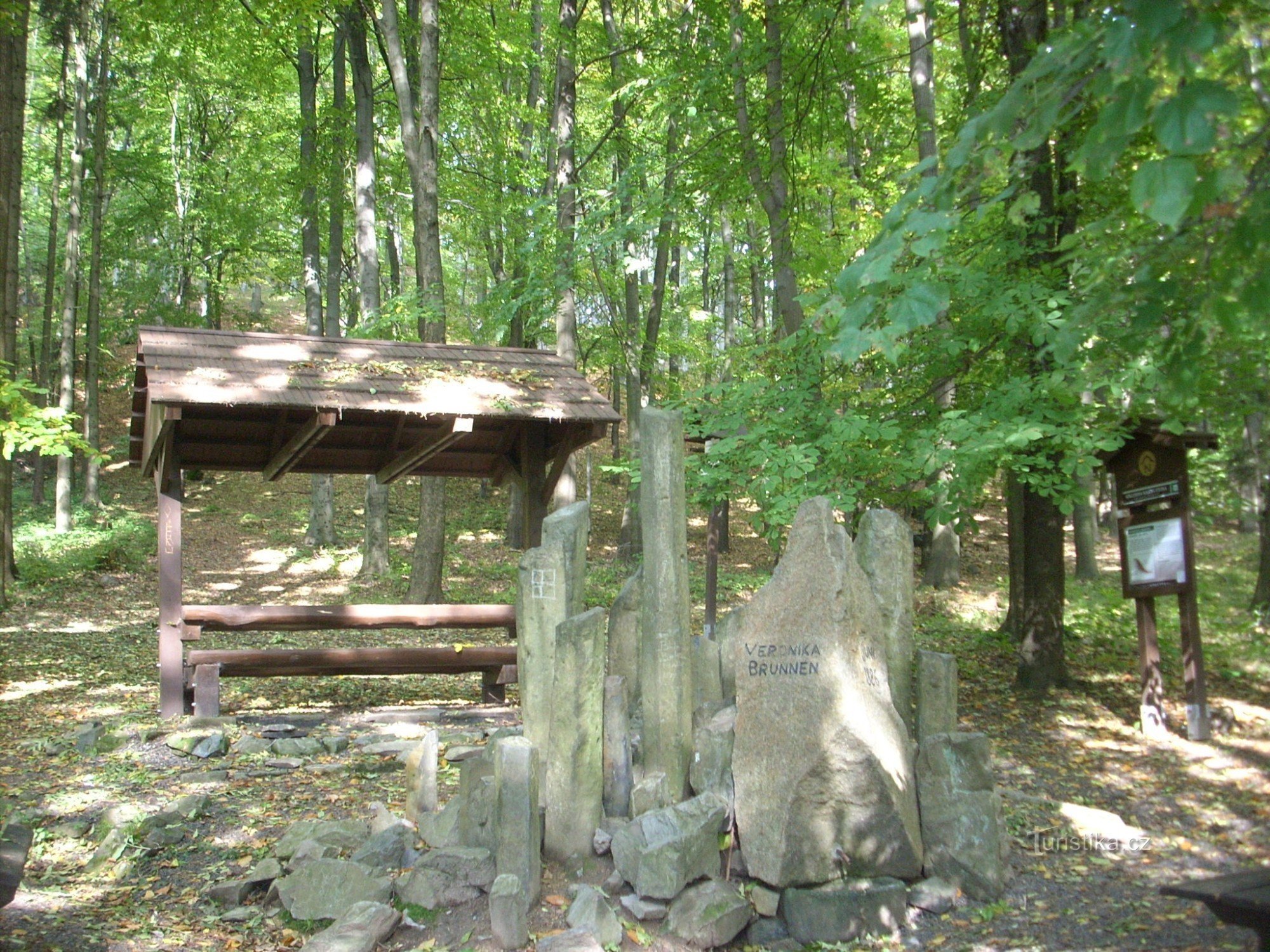
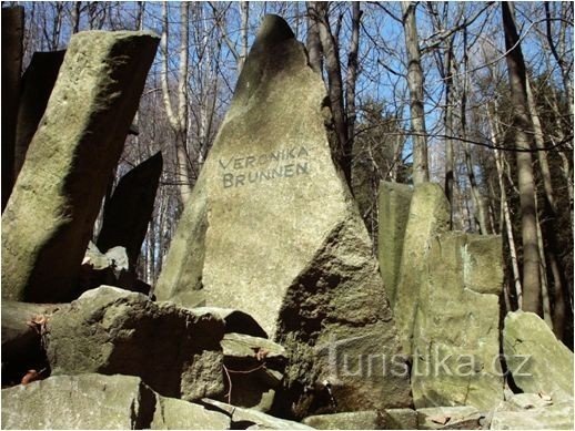
Geological map, located in the village of Zahrady, near Vlčí hora or Krásné Lípy. You can get here after Kogler's NS from Vlčí hora. Rudolf Kogler created this technical monument/proclaimed 1983/, in the garden of his house. He created a small arboretum for it. Plastic map , is made of real rocks that make up the hills and valleys shown. Its area is 50 m2. It is open from the middle of May to the end of September and the entrance is…
Share this place with friends
Geological map-Zahrady
Other places in the vicinity - Geological map - Zahrady
- Beer bottles
- Imperial
- Long Mine
- Dolní Chřibská
- Dolni Křečany
- Lower Podluží
- Doubice
- Filipov
- Harrachov
- hely
- Upper Chribská
- Upper Podluží
- Chribska
- Janovka
- Jedlová
- Jiřetín pod Jedlová
- Jiříkov
- Stone Hot
- Catherine
- Princely
- Hill
- Kingdom
- Beautiful Lipa
- Beautiful Field
- Beautiful Beech
- Kunratice
- Kyiv
- Ladečka
- Leopoldka
- Meadow
- Little Šenov
- Mikulášovice
- Santa Clauses
- Nová Chřibská
- New Counts
- New Krečany
- New Jiříkov
- Manorial
- Rumburk
- Rumburk 2-Horní Jindřichov
- Rybniště
- Rynartice
- Psalms
- Snowy
- Old Counts
- Old Cretans
- Old Jiříkov
- Spring
- Skylight
- Lights, part 2
- Shluknov
- Valdek
- Big Šenov
- Wolf Mountain
- Gardens
- Žofín

