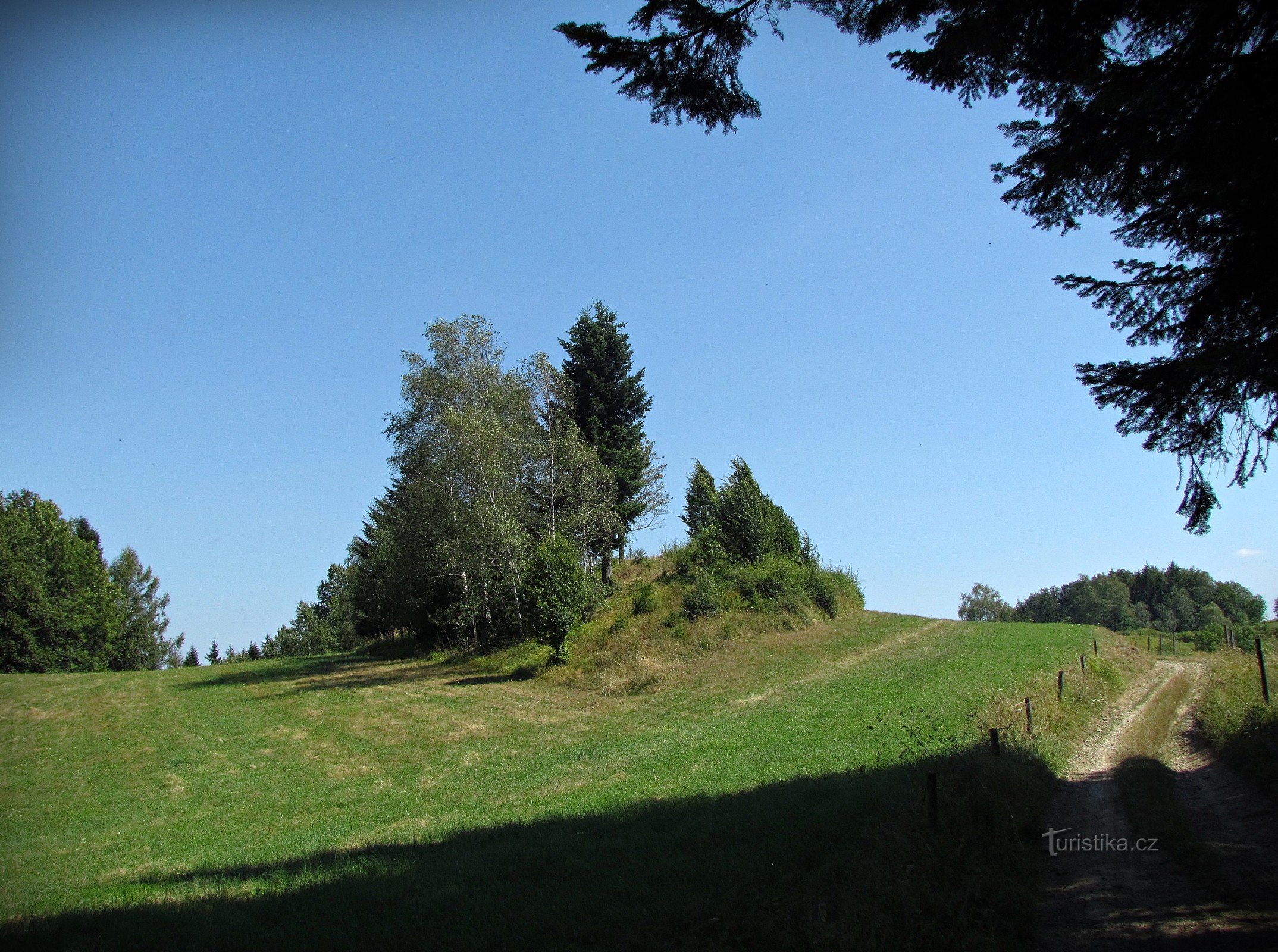
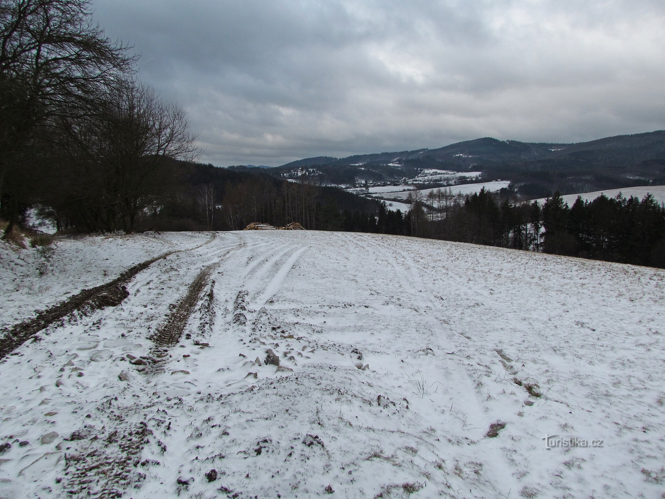
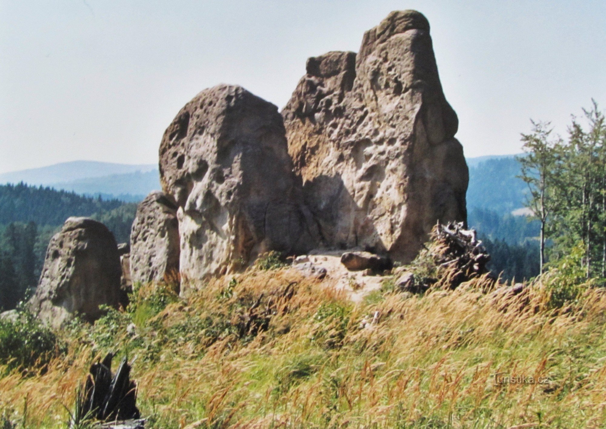
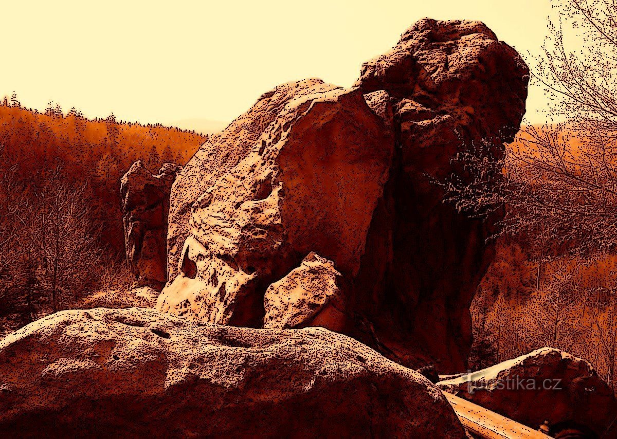
Blackhead. A mysterious mountain with a mysterious name and a mysterious secret. Ratiboř near Vsetín.


Reviews
Yes, we have the age of GPS coordinates, detailed satellite maps, internet applications. A classically tuned tourist holds in his hand a green edition of KČT maps in a scale of 1:50000. But if you ever fall into a fit of nostalgia and retro mood, you might reach for the old edition 70:80 scale tourist maps from the 1s and 100000s like I did. It used to be the only thing. and there I read the sentence. A map in green color, with a picture of…
Share this place with friends
Blackhead. A mysterious mountain with a mysterious name and a mysterious secret. Ratiboř near Vsetín.
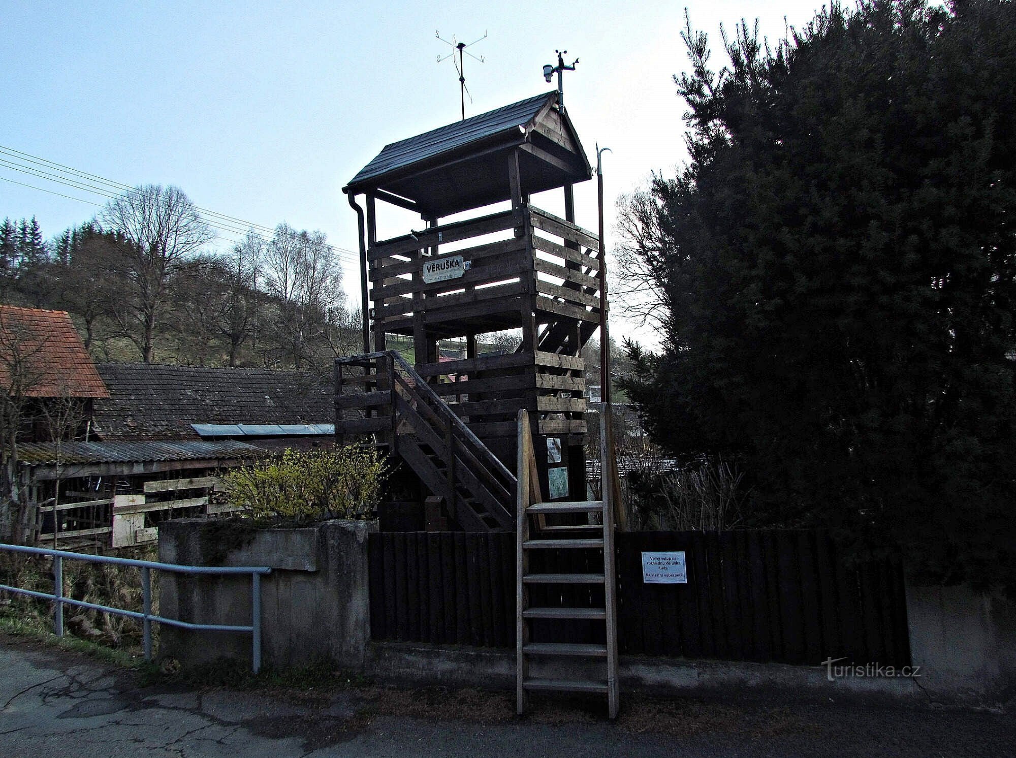
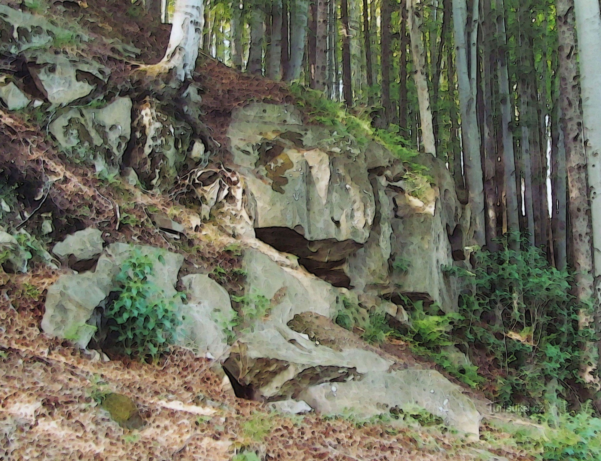
Other places in the vicinity - Drastihlava. A mysterious mountain with a mysterious name and a mysterious secret. Ratiboř near Vsetín.