Snitch


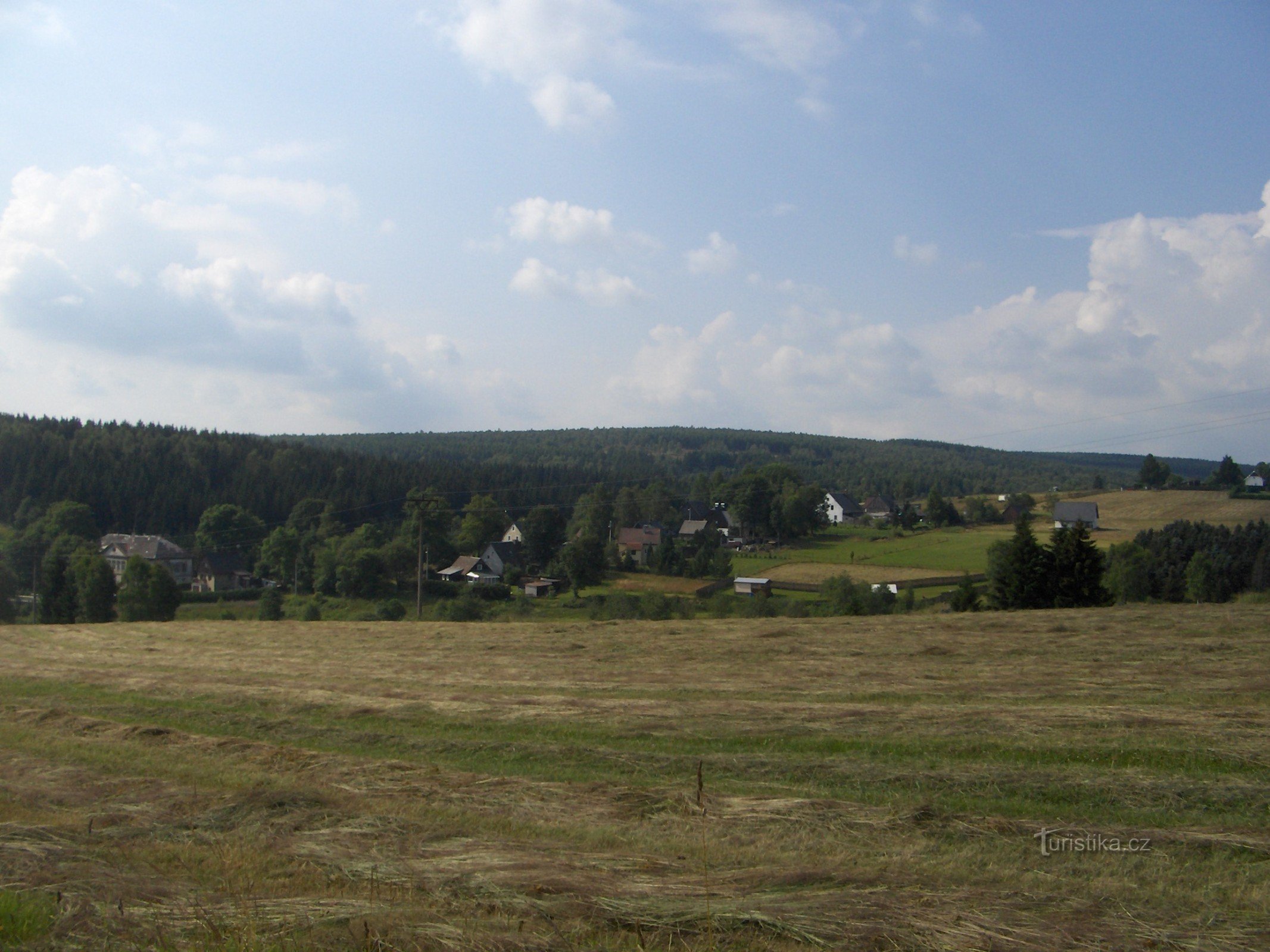
Rocky wooded hill 2 km north of Načetín. It is a frequently visited viewpoint, especially popular with Germans, who call it Steinel. The peak is less than a kilometer from the edge of the village of Rübenau.
On the summit meadow there is a large rock block with a granite column of the geodetic point of the Saxon triangulation network from 1869 and a box with a summit book. The view is towards the east towards the German part of the Ore…
On the summit meadow there is a large rock block with a granite column of the geodetic point of the Saxon triangulation network from 1869 and a box with a summit book. The view is towards the east towards the German part of the Ore…
Share this place with friends
Snitch