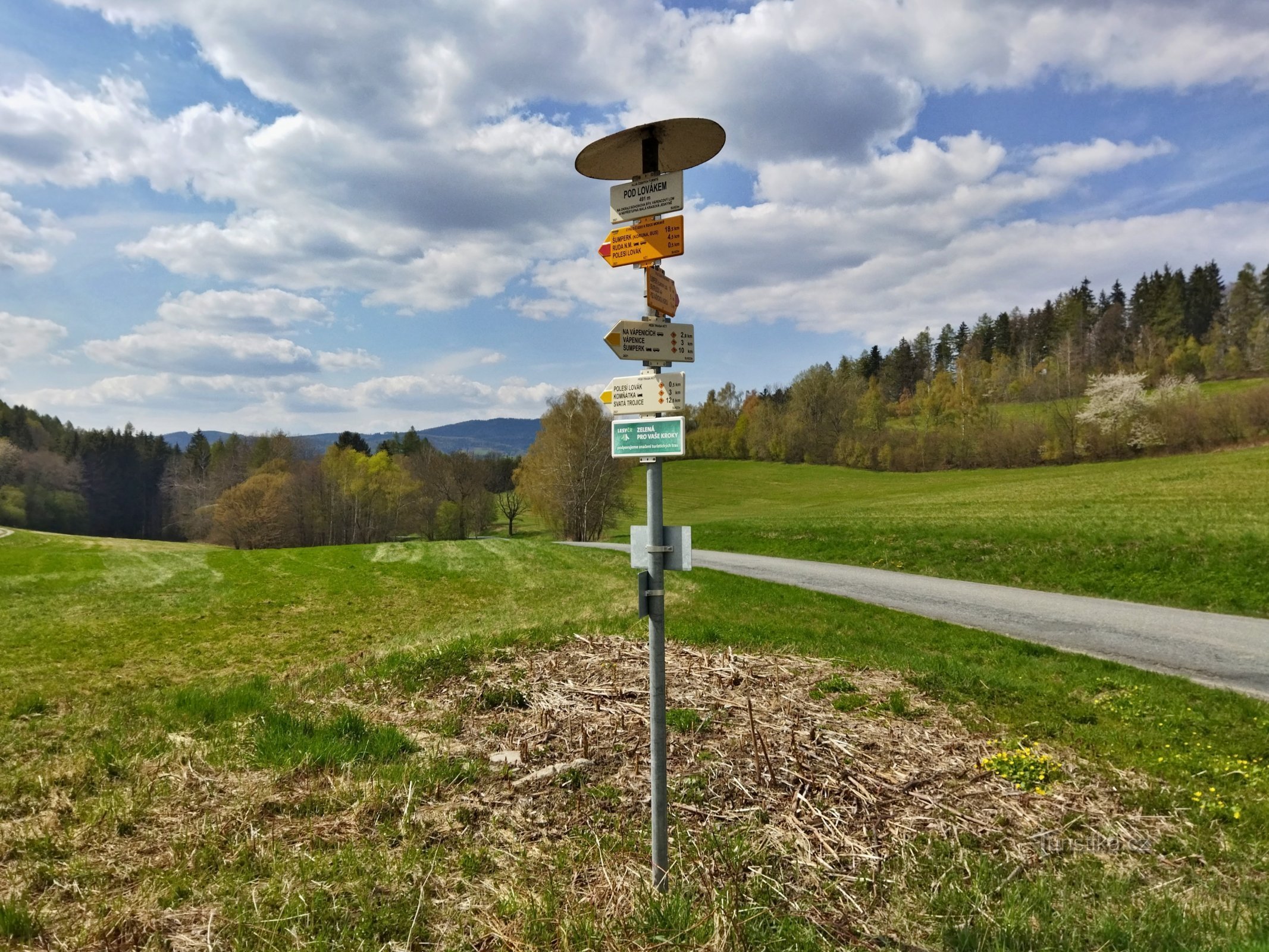
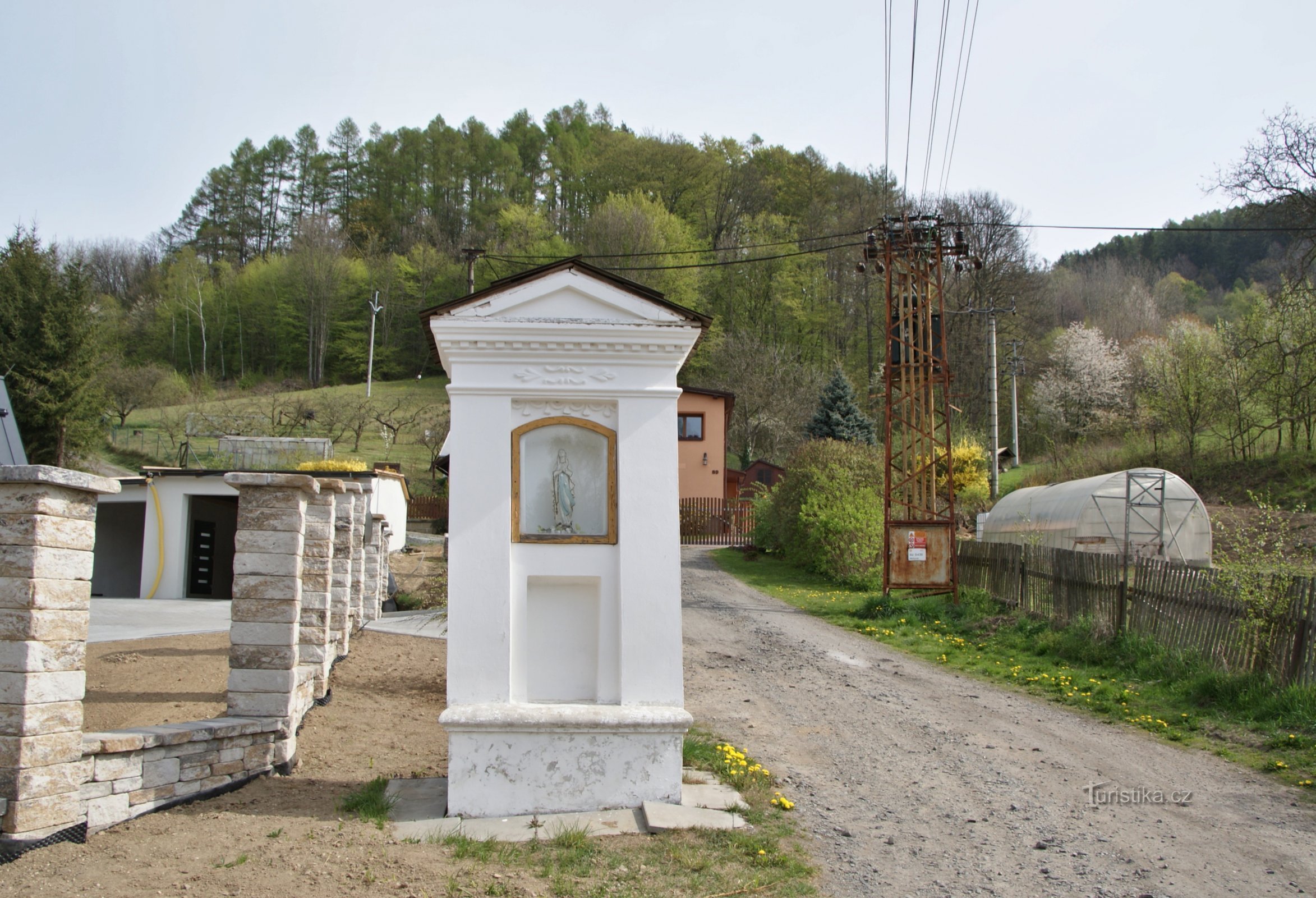
Bratrušov – Čapí hill 646 m


Creators of maps and map applications should sometimes look at the competition, at older maps and, if necessary, ask on the spot. Otherwise, it is difficult to find out why some hills are named differently by different publishers and creators.
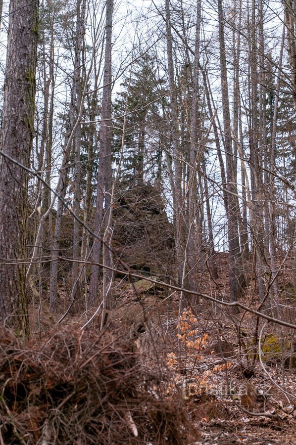
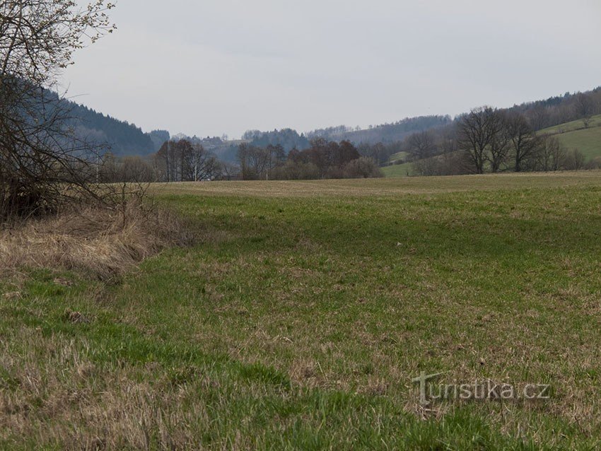
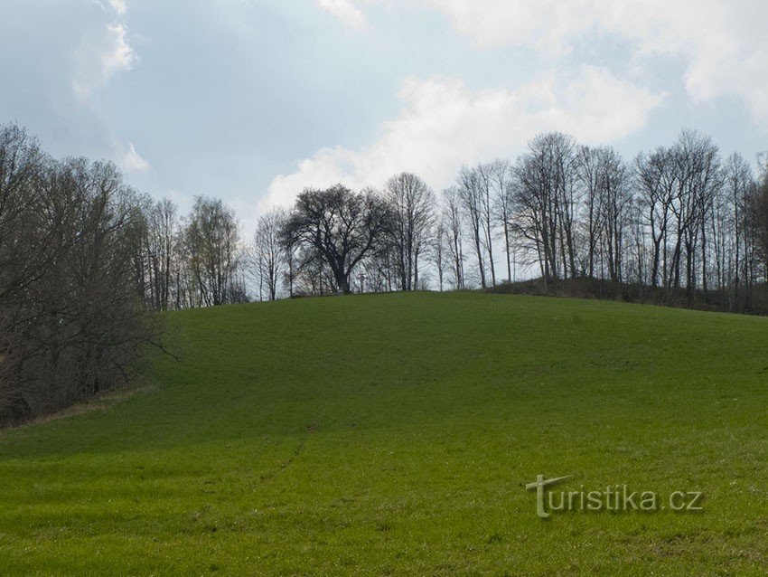
A similar example can be one of the hills in the Kopřivnská vrchovina, i.e. a sub-unit of the Hanušovice vrchovina. That hill is Čapí vrch (646 m). However, in some works we encounter the expression...
A similar example can be one of the hills in the Kopřivnská vrchovina, i.e. a sub-unit of the Hanušovice vrchovina. That hill is Čapí vrch (646 m). However, in some works we encounter the expression...
Share this place with friends
Bratrušov – Čapí hill 646 m
Other places in the vicinity - Bratrušov – Čapí vrch 646 m
- Bartoňov
- Bludov
- Bohdikov
- Bohutin
- Bratrusov
- Bukovice
- Bushin
- Dolni Studénky
- Habartice
- Hanušovice
- Hartikov
- Hostess
- Hrabenov
- Hynčice nad Moravou
- Jakubovice
- Janousov
- Jindrichov
- Monastery
- Komnátka
- Hives
- King
- Crooked Water
- Ludvíkov
- Lužná
- Maršíkov
- Olšany
- Osikov
- Baker
- Petrov nad Desnou
- Pisařov
- Sheet metal
- Underwood
- Wanderer
- Desolate Žibřidovice
- Radomilov
- Rapotin
- Raskov
- Rejchartice
- Ruda nad Morava
- Štědrák's Lhota
- Šumperk
- Terezín
- Losiny
- Vikýřovice
- Vlaske
- Vysoký Potok
- Fierce
- Groove