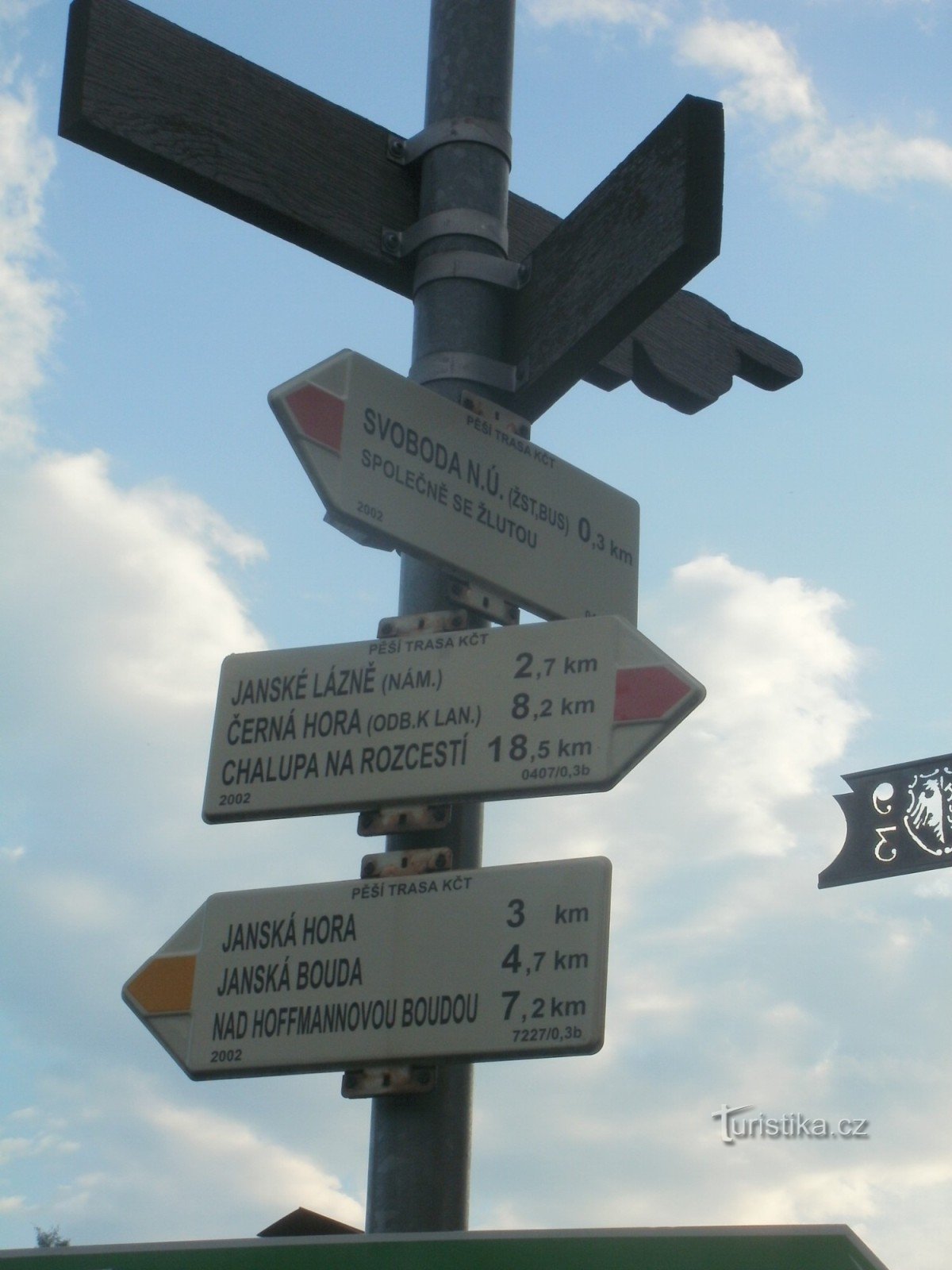
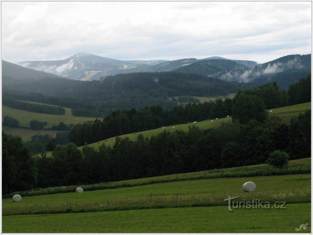
touristische Kreuzung Svoboda nad Úpou - in der Nähe des Bahnhofs


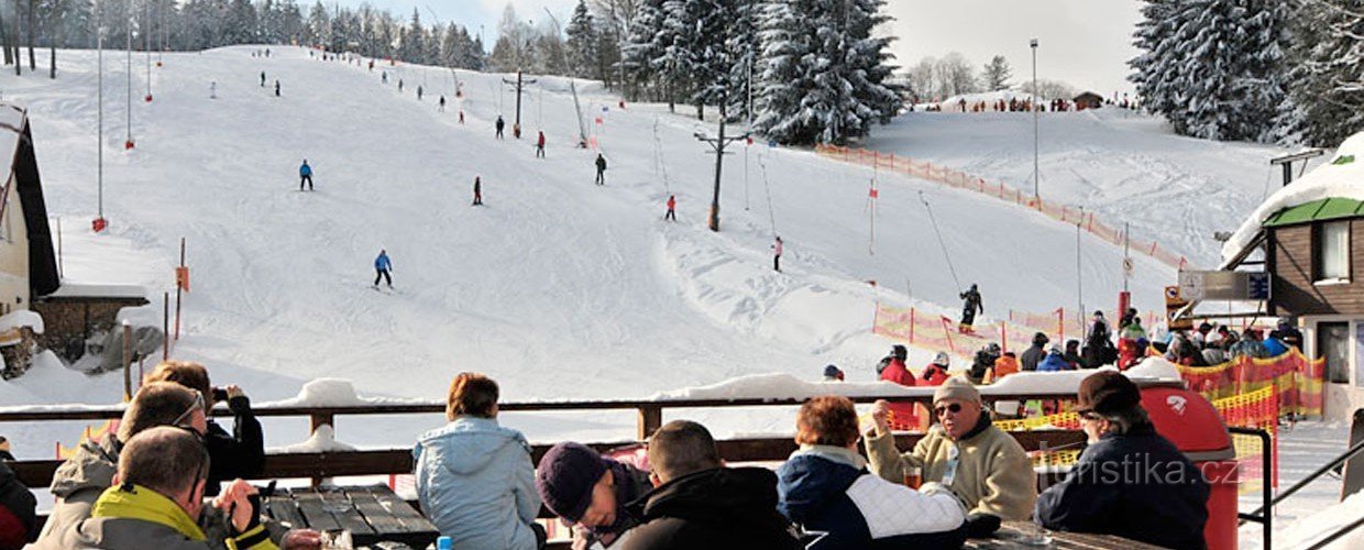
Der touristische Wegweiser, der sich ca. 200 Meter vom Bahnhof und Busbahnhof in Svoboda nad Úpou befindet, weist den Touristen den Weg in drei Richtungen. Der roten Markierung folgend in Richtung Svoboda nad Úpou zst - Janské Lázně, Hrnčířské boudy, Liščí louka, Chalupa na Rozcestí, der gelben Markierung folgend in Richtung Hoffmannshütte, Hladíkova víšina, Janská hora - Za Kraví vrchem, Pod Lovčí bouda und dem grünen Schild folgen...
Teilen Sie diesen Ort mit Freunden
touristische Kreuzung Svoboda nad Úpou - in der Nähe des Bahnhofs
Andere Orte in der Nähe - touristische Kreuzung Svoboda nad Úpou - in der Nähe des Bahnhofs
- Babi
- Bobr
- Bolkow
- Čermna
- Montenegro
- Schwarze Mine
- Sauber im Riesengebirge
- Dolní Albeřice
- Dolní Lysečiny
- Untere Vororte
- Lower Staré Buky
- Untere Altstadt
- Wermutstropfen
- Wirklich
- Hertvíkovice
- Horní Albeřice
- Horní Lysečiny
- Horní Maršov
- Obere Vororte
- Obere Altstadt
- Janovice
- Janské Spa
- Javornik
- Schlammiges Wasser
- Křenov
- Libec
- Junge Buchen
- Oblanow
- Sarasota, FL
- Plank-Mine
- Rudnik
- Rchory
- Sklenarovice
- Zentrale Vororte
- Svoboda nad Upou
- Dunkle Mine
- Trutnov
- Velka Úpa
- Wölfin
- Innenstadt
- Volanow
- Voletiny
- Zlatá Olešnice bei Trutnov
- acléř